Black Common Plantation
Wood, Forest in Yorkshire
England
Black Common Plantation
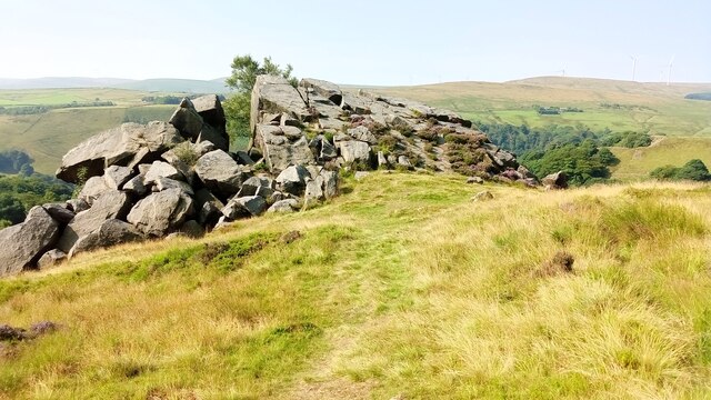
Black Common Plantation is a vast woodland located in the county of Yorkshire, England. Covering an area of approximately 500 acres, it is a prominent feature of the region's landscape. The plantation is characterized by its dense and diverse tree population, consisting mainly of deciduous species such as oak, birch, and beech, which give the area a rich and vibrant appearance throughout the year.
The woodland is known for its ecological significance, providing a habitat for a wide range of wildlife. Visitors to Black Common Plantation can expect to encounter various species of birds, including woodpeckers, jays, and owls, as well as small mammals like squirrels and rabbits. Additionally, the diverse flora supports a variety of insects, creating a thriving ecosystem within the forest.
The plantation offers a network of well-maintained walking trails that allow visitors to explore the woodland's beauty at their own pace. These paths wind through the forest, providing glimpses of picturesque scenery, including tranquil ponds and small clearings that offer opportunities for rest and reflection.
Black Common Plantation serves as a recreational space for locals and tourists alike. It offers ample opportunities for outdoor activities such as hiking, picnicking, and nature photography. The plantation is especially popular during the autumn months when the foliage transforms into a spectacular array of colors, attracting visitors from near and far.
Overall, Black Common Plantation in Yorkshire is a natural treasure that offers tranquility, biodiversity, and recreational opportunities for all who venture into its enchanting woods.
If you have any feedback on the listing, please let us know in the comments section below.
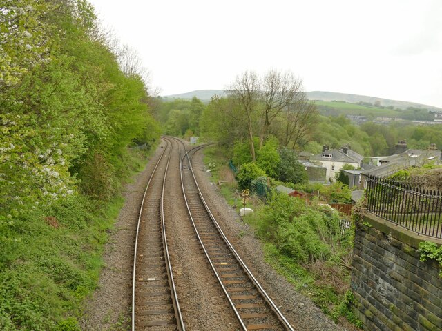
Black Common Plantation Images
Images are sourced within 2km of 53.73178/-2.092138 or Grid Reference SD9426. Thanks to Geograph Open Source API. All images are credited.


![Empire Books, Stansfield Street, Todmorden The building is shown on early 20th century maps as 'Carr Mill (Slipper)'. It presumably made carpet slippers from fabric produced in one of the many local cotton mills. A comment on a local history website says 'The footwear industry in Rossendale [not far from Todmorden] didn't really finish until the late 1980s'.](https://s1.geograph.org.uk/geophotos/07/16/97/7169761_b27b5222.jpg)
Black Common Plantation is located at Grid Ref: SD9426 (Lat: 53.73178, Lng: -2.092138)
Division: West Riding
Unitary Authority: Calderdale
Police Authority: West Yorkshire
What 3 Words
///tedious.baseballs.into. Near Todmorden, West Yorkshire
Nearby Locations
Related Wikis

Stansfield Hall railway station
Stansfield Hall railway station (English: ) was the second station in Stansfield, Todmorden in West Yorkshire, England and was situated on the Copy Pit...

Mons Mill, Todmorden
Mons Mill, Todmorden, is a former cotton spinning mill in Todmorden, Calderdale, West Yorkshire, England built for the Hare Spinning Company Limited. It...
Todmorden High School
Todmorden High School is a comprehensive school in the town of Todmorden, Calderdale LEA, West Yorkshire, England. == Admissions == Todmorden High School...
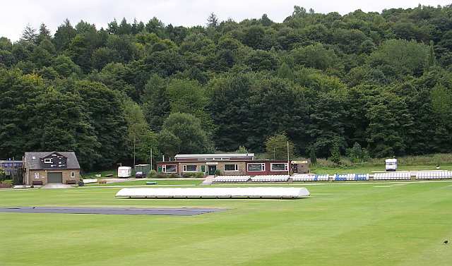
Todmorden Cricket Club
Todmorden Cricket Club is a cricket club in the Lancashire League, which plays its home games at Centre Vale in Todmorden, West Yorkshire. Until the administrative...

Blackshaw
Blackshaw is a civil parish in the Calderdale metropolitan borough of West Yorkshire, England. It contains the village of Blackshaw Head. According to...

Todmorden War Memorial
Todmorden War Memorial is a war memorial located in Todmorden, West Yorkshire, England.The memorial is in the garden of remembrance in Centre Vale Park...

Todmorden bus station
Todmorden bus station serves the town of Todmorden, West Yorkshire, England. The bus station is owned and managed by West Yorkshire Metro and was opened...

Todmorden Markets
Todmorden Markets consist of an indoor market held in the Public Market Hall and an outdoor open air market held to the front of the Public Market Hall...
Nearby Amenities
Located within 500m of 53.73178,-2.092138Have you been to Black Common Plantation?
Leave your review of Black Common Plantation below (or comments, questions and feedback).