Commom Furze Wood
Wood, Forest in Gloucestershire Tewkesbury
England
Commom Furze Wood
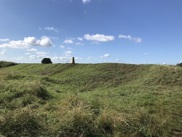
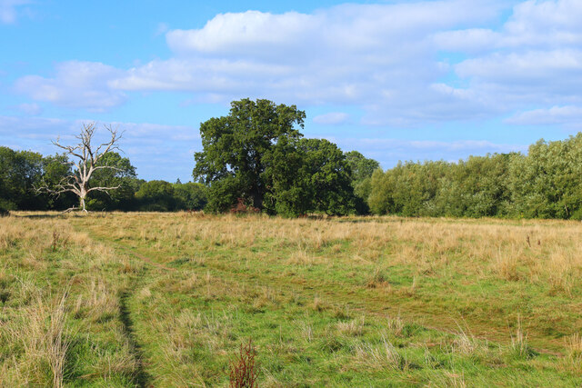
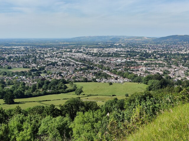
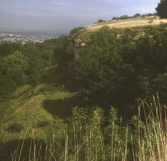
Common Furze Wood is a picturesque woodland located in the county of Gloucestershire, England. Covering an area of approximately 100 acres, this ancient forest is renowned for its natural beauty and diverse range of flora and fauna.
The wood is predominantly composed of native tree species such as oak, beech, and birch, which provide a dense canopy and create a tranquil and shaded environment. The forest floor is adorned with a rich carpet of wildflowers, including bluebells, primroses, and wood sorrels, which add vibrant colors to the landscape during springtime.
Common Furze Wood is home to a variety of wildlife, making it a popular destination for nature enthusiasts and bird watchers. The wood provides a habitat for numerous bird species, such as woodpeckers, owls, and warblers, which can be heard singing their melodious tunes throughout the day. Additionally, the forest supports a diverse range of mammals, including foxes, badgers, and deer, which can often be spotted roaming through the undergrowth.
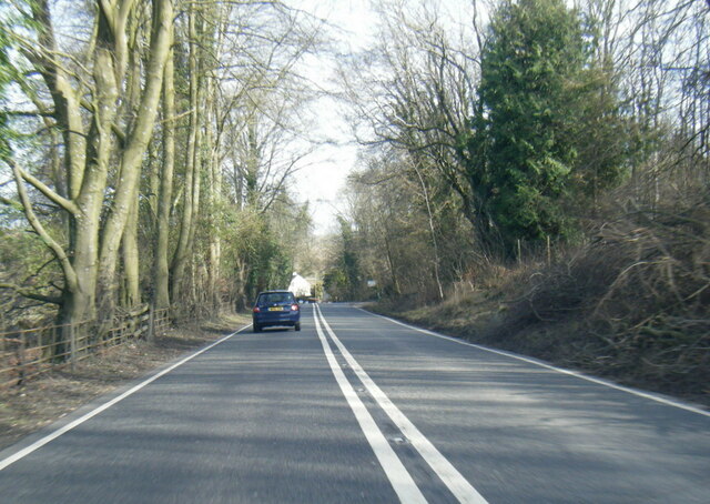
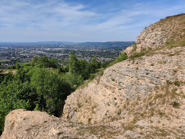
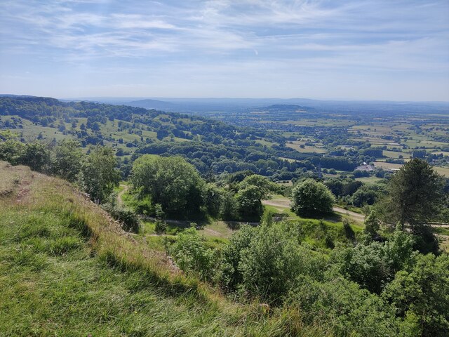
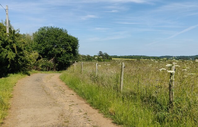
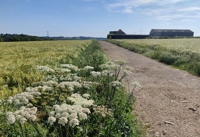
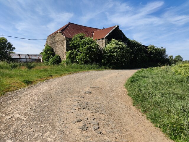
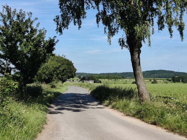
The wood is crisscrossed with a network of well-maintained footpaths, inviting visitors to explore its enchanting trails. These paths offer stunning views of the surrounding countryside and provide opportunities for leisurely walks, picnics, and photography.
Common Furze Wood is protected as a Site of Special Scientific Interest (SSSI), ensuring the preservation of its natural beauty and ecological significance. The woodland is managed by local conservation organizations, which undertake regular maintenance to enhance its biodiversity and protect its delicate ecosystem.
Overall, Common Furze Wood is a captivating woodland escape that offers visitors a chance to immerse themselves in nature and experience the tranquility of Gloucestershire's countryside.
If you have any feedback on the listing, please let us know in the comments section below.
Commom Furze Wood Images
Images are sourced within 2km of 51.862663/-2.0899877 or Grid Reference SO9318. Thanks to Geograph Open Source API. All images are credited.


Commom Furze Wood is located at Grid Ref: SO9318 (Lat: 51.862663, Lng: -2.0899877)
Administrative County: Gloucestershire
District: Tewkesbury
Police Authority: Gloucestershire
What 3 Words
///dumps.cheater.could. Near Shurdington, Gloucestershire
Nearby Locations
Related Wikis

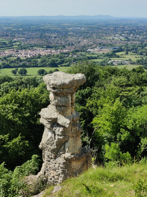
Devil's Chimney (Gloucestershire)
The Devil's Chimney is a limestone rock formation that stands above a disused quarry in Leckhampton, near Cheltenham, Gloucestershire, England. It is named...

St Peter's Church, Leckhampton
St Peter's Church, Leckhampton is the Church of England parish church in Leckhampton, Cheltenham, Gloucestershire, England. The church belongs to the...

Ullenwood
Ullenwood is a village in the Coberley civil parish, near Cheltenham in Gloucestershire. It is the site of a formerly secret civil defence bunker intended...
Leckhampton Hill and Charlton Kings Common
Leckhampton Hill and Charlton Kings Common (grid reference SO952187) is a 63.8-hectare (158-acre) biological and geological Site of Special Scientific...
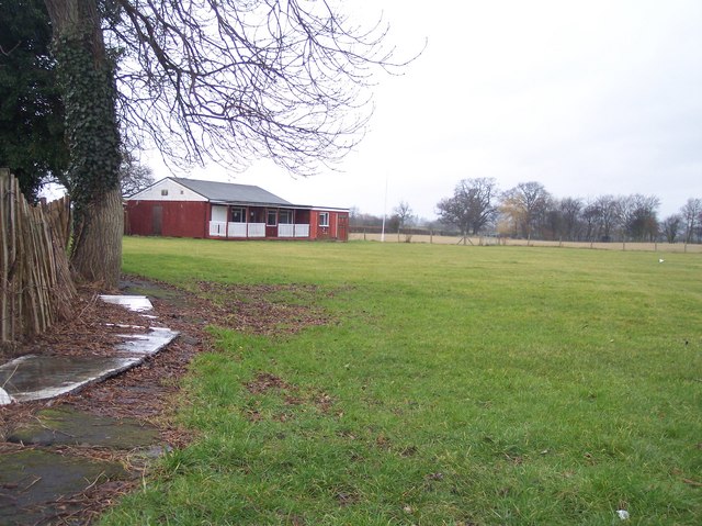
Hatherley and Reddings Cricket Club Ground
Hatherley and Reddings Cricket Club Ground is a cricket ground in Cheltenham, Gloucestershire. The first recorded match held on the ground came in 1986...

National Star College
The National Star College (previously known as the Star Centre) is an independent specialist further education college for people with physical disabilities...

Shurdington
Shurdington is a village near Cheltenham in Gloucestershire, England. The area constitutes a civil parish within the Borough of Tewkesbury. It is located...
Bournside
Bournside is a village, which is now a suburb of Cheltenham in Gloucestershire, England. == References ==
Related Videos

The Devils Chimney | Hiking and History | Adventure Ep. 18 | HD Quality.
Just some footage of Leckhampton Hill and the strange rock formation known as the Devil's Chimney. I left the natural sounds in ...

B123 Leckhampton Hill circular 27th November 2022
Starting at Daisybank car park we follow an uphill climb to Devil's Chimney. We then join the Cotswold Way and follow until we ...

Crickley hill and Leckhampton hill. Some of the best views in The Cotswolds! A morning walk.
A circular walk from Crickley Hill to Leckhampton Hill and back again. Some of the best views in The Cotswolds. We pass along ...

Crickley Hill Country Park
A quick walk at Crickley Hill. Amazing views, easy parking, good access for the family, trails that link to the Cotswolds way and ...
Nearby Amenities
Located within 500m of 51.862663,-2.0899877Have you been to Commom Furze Wood?
Leave your review of Commom Furze Wood below (or comments, questions and feedback).