Goosehill Wood

Wood, Forest in Worcestershire Wychavon

England

Goosehill Wood

Derelict windpump near Saleway Farm One of several non-working windpumps in this area. This one has lost its rotor assembly.
Derelict windpump near Saleway Farm Credit: Chris Allen

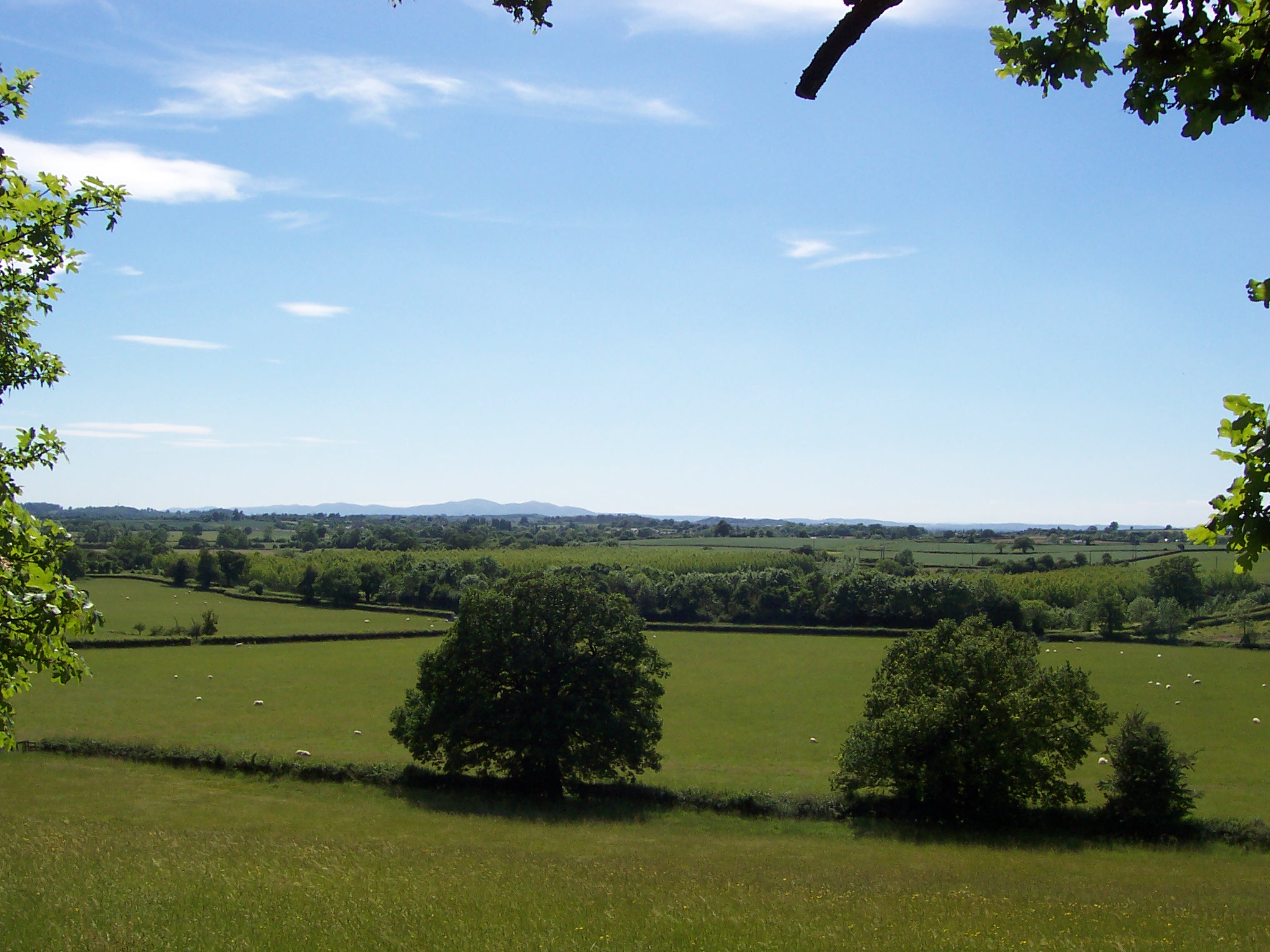
Goosehill Wood is a picturesque forest located in Worcestershire, England. Spanning an area of approximately 50 acres, it is known for its stunning natural beauty and diverse wildlife. The wood is situated on the outskirts of the village of Goosehill, which gives it its name.

The wood is primarily composed of deciduous trees, including oak, ash, beech, and birch, which create a vibrant canopy during the summer months. The forest floor is covered in a rich carpet of moss, ferns, and wildflowers, adding to its ethereal charm.

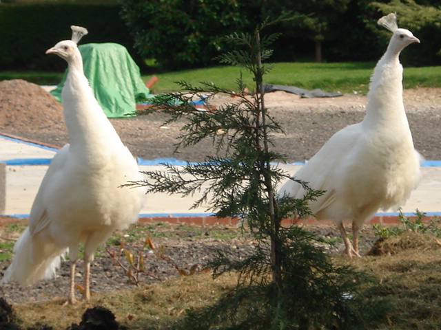
Goosehill Wood is a popular destination for nature enthusiasts and walkers, who come to explore its numerous trails and pathways. These well-maintained routes provide visitors with the opportunity to experience the wood's tranquility and observe its varied wildlife. From deer and foxes to a wide variety of bird species, including woodpeckers and owls, the wood is a haven for animal lovers and birdwatchers alike.

In addition to its natural beauty, Goosehill Wood also holds historical significance. It is believed to have been part of a larger medieval hunting forest, and remnants of ancient boundaries and clearings can still be seen within its boundaries. These historical features add an extra layer of intrigue to the wood, attracting history enthusiasts and those interested in the area's past.

Overall, Goosehill Wood offers a captivating blend of natural beauty, wildlife, and historical charm, making it a must-visit destination for anyone seeking a peaceful retreat in the heart of Worcestershire.

If you have any feedback on the listing, please let us know in the comments section below.

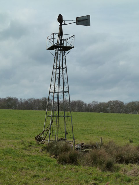
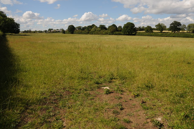
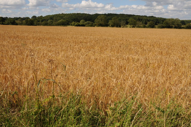
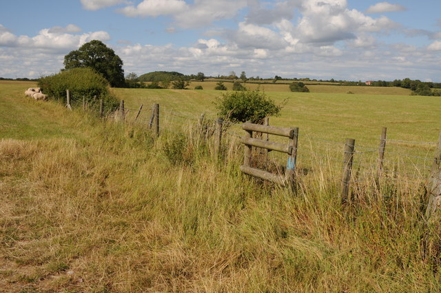
Goosehill Wood Images

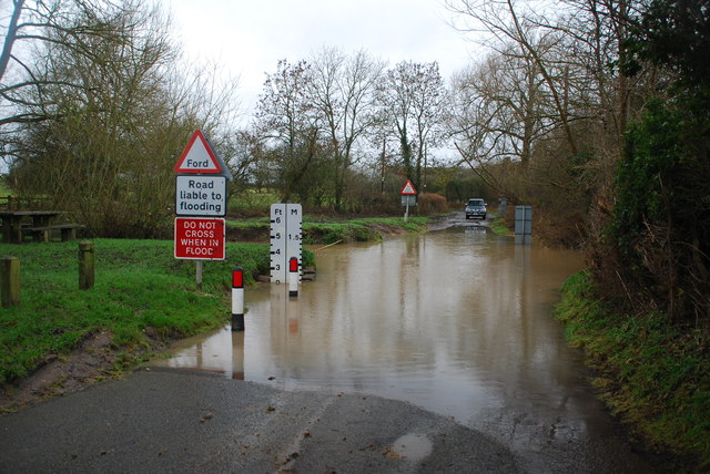
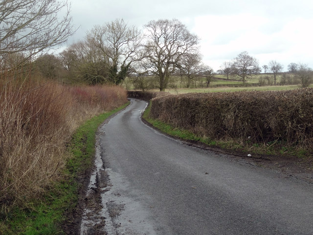
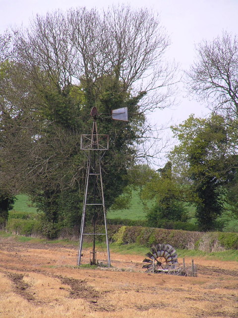
Images are sourced within 2km of 52.245914/-2.0908951 or Grid Reference SO9360. Thanks to Geograph Open Source API. All images are credited.
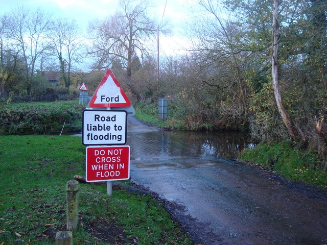
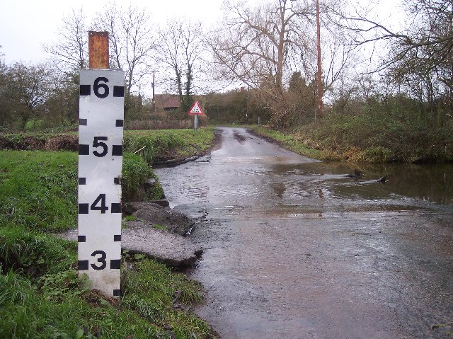
Derelict windpump near Saleway Farm One of several non-working windpumps in this area. This one has lost its rotor assembly.
Derelict windpump near Saleway Farm
One of several non-working windpumps in this area. This one has lost its rotor assembly.
Farmland at Saleway Farmland between Sale Green and Saleway.
Farmland at Saleway
Farmland between Sale Green and Saleway.
Barley field near Himbleton View across a field of barley between Saleway and Himbleton.  Puckhill Wood can be seen in the background.
Barley field near Himbleton
View across a field of barley between Saleway and Himbleton. Puckhill Wood can be seen in the background.
Farmland near Shell Farmland to the west of Shell.
Farmland near Shell
Farmland to the west of Shell.
Ford at Shell The ford close to the hamlet of Shell
Ford at Shell
The ford close to the hamlet of Shell
Picnic Site at Shell The small [1 table!] picnic site and footbridge at Shell beside the ford
Picnic Site at Shell
The small [1 table!] picnic site and footbridge at Shell beside the ford
Shell Ford This ford on the Shell Brook was two and a half foot deep at the time of my visit as can be seen in the video:
<span class="nowrap"><a title="http://www.youtube.com/watch?v=p7t1kvldoZU" rel="nofollow ugc noopener" href="http://www.youtube.com/watch?v=p7t1kvldoZU">Link</a><img style="margin-left:2px;" alt="External link" title="External link - shift click to open in new window" src="https://s1.geograph.org.uk/img/external.png" width="10" height="10"/></span>
Shell Ford
This ford on the Shell Brook was two and a half foot deep at the time of my visit as can be seen in the video: LinkExternal link
Lane to Saleway
Lane to Saleway
Windpump. Broken old windpump at SO923596.
Windpump.
Broken old windpump at SO923596.
Shell Manor Farm. Shell Manor, a fine timbered house with work dating from the 14th to 16th century
Shell Manor Farm.
Shell Manor, a fine timbered house with work dating from the 14th to 16th century
Woodhouse Farm Looking south
Woodhouse Farm
Looking south
Newly Planted Fields, Phepson Taken from near to Phepson Manor, looking south.
Newly Planted Fields, Phepson
Taken from near to Phepson Manor, looking south.
Pedestrian Bridge by Shell Ford A warning notice, in these days of blame culture, reads "No Safety Rails On Bridge", "Cyclists Dismount" and "Pedestrians Please Take Care".
Pedestrian Bridge by Shell Ford
A warning notice, in these days of blame culture, reads "No Safety Rails On Bridge", "Cyclists Dismount" and "Pedestrians Please Take Care".
Shell Ford The water indicator is in feet. Looking west. For more information see:
<span class="nowrap"><a title="http://vamp.idlers.org/~jaffa/worcestershire.htm#shellford" rel="nofollow ugc noopener" href="http://vamp.idlers.org/~jaffa/worcestershire.htm#shellford">Link</a><img style="margin-left:2px;" alt="External link" title="External link - shift click to open in new window" src="https://s1.geograph.org.uk/img/external.png" width="10" height="10"/></span> 
 or 
<span class="nowrap"><a title="http://worcestershire.whub.org.uk/home/wccindex/wcc-countryside/wcc-countryside-sites.htm" rel="nofollow ugc noopener" href="http://worcestershire.whub.org.uk/home/wccindex/wcc-countryside/wcc-countryside-sites.htm">Link</a><img style="margin-left:2px;" alt="External link" title="External link - shift click to open in new window" src="https://s1.geograph.org.uk/img/external.png" width="10" height="10"/></span>
Shell Ford
The water indicator is in feet. Looking west. For more information see: LinkExternal link or LinkExternal link
White peacocks at Saleway Farm
Saleway Farm Viewed from the lane near Trench Wood.
Saleway Farm
Viewed from the lane near Trench Wood.
Garden sheds at Saleway What's the collective noun for garden sheds? This little garden has five.
Garden sheds at Saleway
What's the collective noun for garden sheds? This little garden has five.
Cottage at Saleway Prefab-style cottage with a rustic cottage garden.
Cottage at Saleway
Prefab-style cottage with a rustic cottage garden.
Show me another place!

Goosehill Wood is located at Grid Ref: SO9360 (Lat: 52.245914, Lng: -2.0908951)

Administrative County: Worcestershire

District: Wychavon

Police Authority: West Mercia

What 3 Words

///wake.factually.siblings. Near Droitwich, Worcestershire

Related Wikis

Mere Green, Worcestershire

Mere Green is a hamlet in the English county of Worcestershire. It is located south of the village of Hanbury roughly midway between Worcester and Redditch...

Droitwich Road railway station

Droitwich Road railway station served the town of Droitwich Spa, Worcestershire, England, from 1840 to 1855 on the Birmingham and Gloucester Railway....

Dunhampstead railway station

Dunhampstead railway station served the village of Dunhampstead, Worcestershire, England, from 1841 to 1855 on the Birmingham and Gloucester Railway....

Dunhampstead

Dunhampstead is a small village in the English county of Worcestershire. It is located about 6 miles to the north-east of Worcester and around half a...

Trench Wood

Trench Wood is a woodland area part managed by the Worcestershire Wildlife Trust and Butterfly Conservation. It is located around 6 miles (9.7 km) miles...

Earls Common

Earls Common is a village in Worcestershire, England. Villages nearby include Himbleton and Stock Green.

Himbleton

Himbleton is a village in Worcestershire, England. It lies about 5 miles (8.0 km) south-east of Droitwich and 7.5 miles (12.1 km) north-east of Worcester...

Hadzor

Hadzor is a small village near Droitwich, Worcestershire, England. There are around fourteen houses and a Roman Catholic church in the village, although...

Nearby Amenities

Located within 500m of 52.245914,-2.0908951
Barrier: stile
Foot: yes
Lat/Long: 52.2454843/-2.0846115
Barrier: kissing_gate
Foot: yes
Lat/Long: 52.2429198/-2.0935202
Barrier: stile
Foot: yes
Lat/Long: 52.2451865/-2.0846596
Fixme: continue
Lat/Long: 52.245792/-2.0846765
Barrier: stile
Foot: yes
Lat/Long: 52.245549/-2.0844317
Goosehill Green
Power: pole
Transformer: distribution
Voltage Primary: 11000
Lat/Long: 52.2491826/-2.0950815
Power: pole
Lat/Long: 52.2493714/-2.0943975
Power: pole
Lat/Long: 52.2493271/-2.0936613
Lower Goosehill Farm
Power: pole
Transformer: distribution
Voltage Primary: 11000
Lat/Long: 52.2492811/-2.0929156
Power: pole
Lat/Long: 52.2492318/-2.0922451
Location Transition: yes
Power: pole
Lat/Long: 52.2471627/-2.092744
Power: pole
Lat/Long: 52.2481883/-2.0920466
Power: pole
Lat/Long: 52.2491735/-2.0914002
Power: pole
Lat/Long: 52.2491317/-2.0906492
Power: pole
Lat/Long: 52.2490717/-2.0897654
Power: pole
Lat/Long: 52.2490192/-2.0889258
Power: pole
Lat/Long: 52.2489395/-2.0876987
Power: pole
Lat/Long: 52.2488509/-2.0863972
Power: pole
Lat/Long: 52.2487852/-2.0853578
The data included in this document is from www.openstreetmap.org. The data is made available under ODbL.

Have you been to Goosehill Wood?

Leave your review of Goosehill Wood below (or comments, questions and feedback).