Ruscombe Plantation

Wood, Forest in Gloucestershire Cotswold

England

Ruscombe Plantation

The end of the lane at Througham Slad Manor According to OS mapping, the public road appears to carry on another 100m or so from this point. However our country landowners would seem to annex a bit of public property by just putting up a PRIVATE sign with NO TURNING BEYOND THIS POINT to drive home the message. No change in road surface though.
I didn't take the car any further.
The end of the lane at Througham Slad Manor Credit: Jonathan Billinger

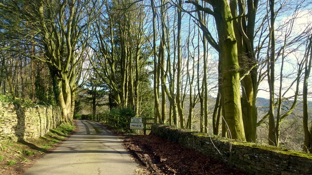
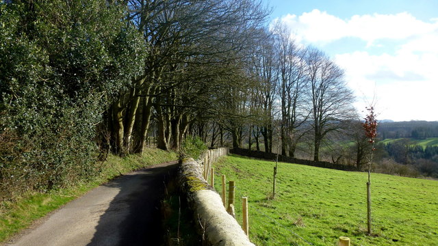
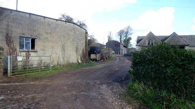
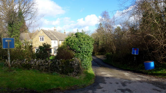
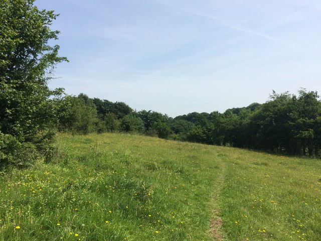
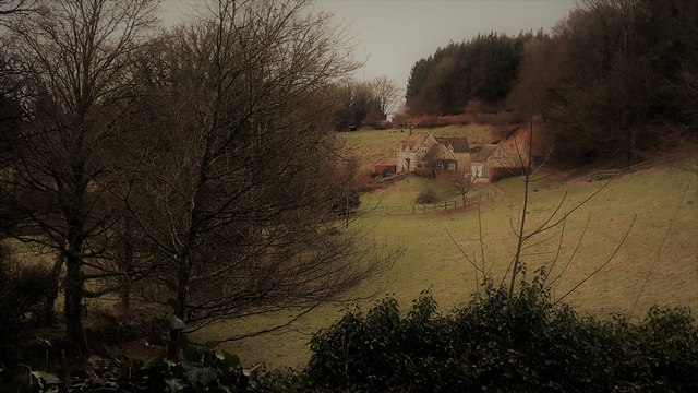
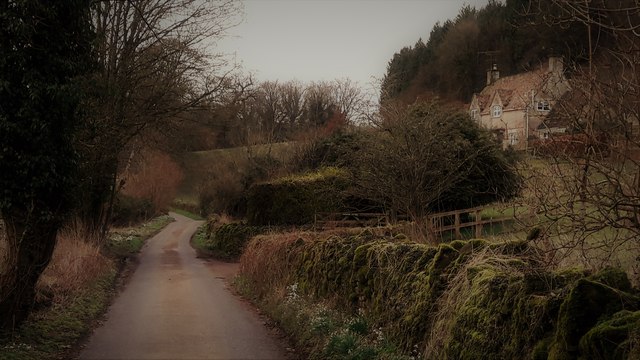
Ruscombe Plantation is a picturesque woodland area located in Gloucestershire, England. Nestled in the heart of the county, it covers an expansive area of lush forest, offering a serene and tranquil escape from the bustling city life. The plantation is renowned for its dense canopies of towering trees, creating a captivating and enchanting atmosphere.

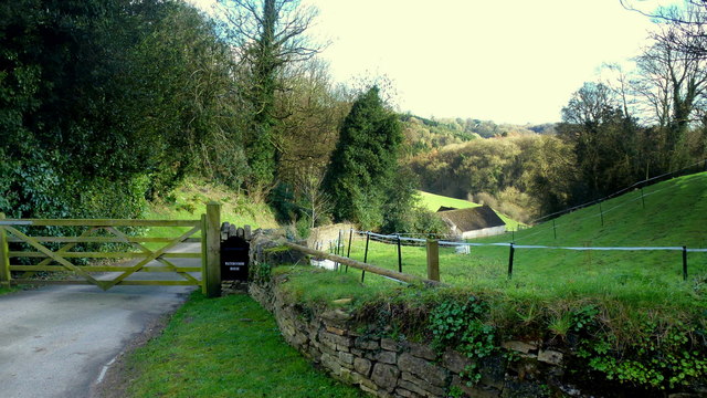
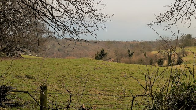
The woodland comprises a diverse range of tree species, including oak, beech, birch, and pine, among others. This rich variety contributes to the plantation's unique biodiversity, providing a habitat for numerous wildlife species. Visitors to Ruscombe Plantation often have the opportunity to spot a wide array of birds, small mammals, and even elusive deer as they wander through the enchanting woodland.

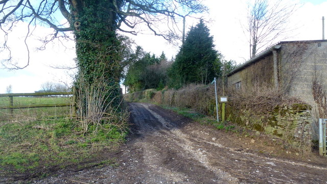
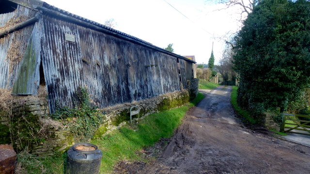
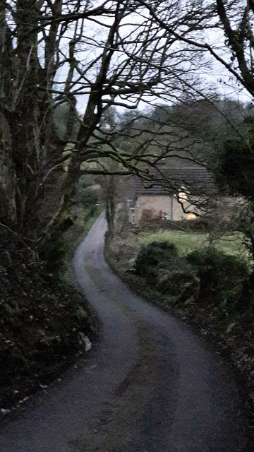
Ruscombe Plantation is a popular destination for nature enthusiasts, hikers, and photographers. It offers a network of well-maintained walking trails, allowing visitors to explore the plantation's beauty at their leisure. The paths meander through the forest, providing stunning vistas of ancient trees, vibrant flora, and occasional glimpses of sun-dappled glades.

The plantation is also home to a small lake, enhancing its charm and providing a peaceful spot for reflection. Visitors can enjoy picnics by the water's edge or simply sit back and appreciate the tranquility of the surroundings.

Ruscombe Plantation is a true gem of Gloucestershire, offering a haven of natural beauty and serenity. Whether seeking a peaceful retreat or an opportunity to immerse oneself in the wonders of nature, this woodland sanctuary is sure to captivate and inspire all who venture within its boundaries.

If you have any feedback on the listing, please let us know in the comments section below.

Ruscombe Plantation Images

Images are sourced within 2km of 51.751268/-2.0959655 or Grid Reference SO9305. Thanks to Geograph Open Source API. All images are credited.

The end of the lane at Througham Slad Manor According to OS mapping, the public road appears to carry on another 100m or so from this point. However our country landowners would seem to annex a bit of public property by just putting up a PRIVATE sign with NO TURNING BEYOND THIS POINT to drive home the message. No change in road surface though.
I didn't take the car any further.
The end of the lane at Througham Slad Manor
According to OS mapping, the public road appears to carry on another 100m or so from this point. However our country landowners would seem to annex a bit of public property by just putting up a PRIVATE sign with NO TURNING BEYOND THIS POINT to drive home the message. No change in road surface though. I didn't take the car any further.
Entrance to Watercombe House Set in a secluded Cotswold valley.
Entrance to Watercombe House
Set in a secluded Cotswold valley.
Approaching Througham Slad Winter sunlight glints off the shiny grey bark of the beeches.
Approaching Througham Slad
Winter sunlight glints off the shiny grey bark of the beeches.
Track and footpath Limbricks farm to the right; the footpath heads north to Battlescombe.
Track and footpath
Limbricks farm to the right; the footpath heads north to Battlescombe.
Limbrick's Farm Large Cotswolds farm to the north of Waterlane.
Limbrick's Farm
Large Cotswolds farm to the north of Waterlane.
Track to Rookwoods Limbrick's farm to the left.
Track to Rookwoods
Limbrick's farm to the left.
Dead end lane at Waterlane One of six lanes to radiate out from the junction at the centre of this Cotswolds hamlet.
Dead end lane at Waterlane
One of six lanes to radiate out from the junction at the centre of this Cotswolds hamlet.
Daneway Banks Nature Reserve
Daneway Banks
Nature Reserve
Edgeworth, the valley from the top of School Lane School Lane connects the two clusters of Edgeworth through a steep combe.
Edgeworth, the valley from the top of School Lane
School Lane connects the two clusters of Edgeworth through a steep combe.
Pastures at Edgeworth Looking from School Lane to the far hillside of the upper Frome valley.
Pastures at Edgeworth
Looking from School Lane to the far hillside of the upper Frome valley.
School Lane, Edgeworth
School Lane, Edgeworth Looking north from close to the church and manor house end of the lane.
School Lane, Edgeworth
Looking north from close to the church and manor house end of the lane.
Edgeworth Manor The west front, facing the church, dates from the end of the nineteenth century.
Edgeworth Manor
The west front, facing the church, dates from the end of the nineteenth century.
St Mary's church, Edgeworth
St Mary, Edgeworth St Mary's has a Saxon and Norman nave and was drastically restored in 1869-72 with a rood screen added in 1885.
St Mary, Edgeworth
St Mary's has a Saxon and Norman nave and was drastically restored in 1869-72 with a rood screen added in 1885.
Rood screen and loft in St Mary's, Edgeworth Dating from 1885, the deeply cusped tracery echoes the stone chancel rere-arches of 1872.
Rood screen and loft in St Mary's, Edgeworth
Dating from 1885, the deeply cusped tracery echoes the stone chancel rere-arches of 1872.
Chancel at St Mary, Edgeworth The Victorian east window sits above a tiny Norman slit window with 1957 stained glass by the local artist Edward Payne.  All the chancel windows have rere-arches, as do the sedilia, piscina on the right.  A formidable Victorian performance, but what a pity that it extended to scraping the walls.
Chancel at St Mary, Edgeworth
The Victorian east window sits above a tiny Norman slit window with 1957 stained glass by the local artist Edward Payne. All the chancel windows have rere-arches, as do the sedilia, piscina on the right. A formidable Victorian performance, but what a pity that it extended to scraping the walls.
Cusping in St Mary's Two windows, an altar rail and a rood screen all decorated the same way.
Cusping in St Mary's
Two windows, an altar rail and a rood screen all decorated the same way.
Show me another place!

Ruscombe Plantation is located at Grid Ref: SO9305 (Lat: 51.751268, Lng: -2.0959655)

Administrative County: Gloucestershire

District: Cotswold

Police Authority: Gloucestershire

What 3 Words

///expanded.romantics.clinking. Near Chalford, Gloucestershire

Related Wikis

Juniper Hill, Edgeworth

Juniper Hill, Edgeworth (SO928058 and SO928064) is an 11.25-hectare (27.8-acre) biological Site of Special Scientific Interest in Gloucestershire, notified...

Edgeworth, Gloucestershire

Edgeworth is a small village and civil parish in the English county of Gloucestershire. It is located east of Stroud, west of Cirencester and south of...

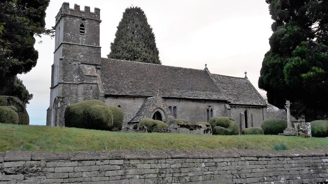
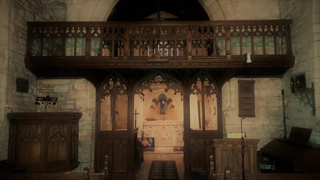
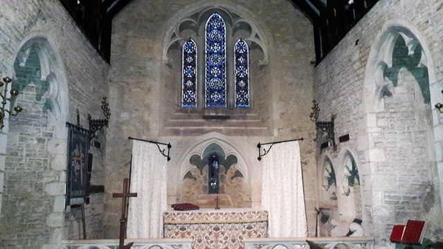
Church of St Mary, Edgeworth

The Anglican Church of St Mary at Edgeworth in the Cotswold District of Gloucestershire, England was built in 11th century. It is a grade I listed building...
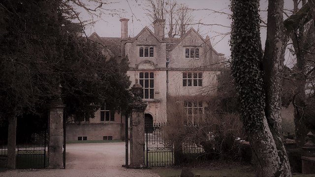
Edgeworth Manor

Edgeworth Manor is a Grade II* listed country house in Edgeworth, Gloucestershire, England. It was mentioned in the Domesday Book, when it was held by...

Battlescombe

Battlescombe is an area in the village of Bisley in Gloucestershire, England. == References ==

Daneway House

Daneway House is a grade I listed house in the parish of Bisley-with-Lypiatt but close to Sapperton in Gloucestershire, England.The house was built in...

Sapperton Valley

Sapperton Valley (grid reference SO935035) is a 3.7-hectare (9.1-acre) nature reserve near Chalford in the Stroud district of Gloucestershire, England...

Siccaridge Wood

Siccaridge Wood (grid reference SO935035) is a 26.6-hectare (66-acre) nature reserve in Gloucestershire. The site is listed in the ‘Stroud District’ Local...

Nearby Amenities

Located within 500m of 51.751268,-2.0959655
Archaeological Site: megalith
Historic: archaeological_site
Megalith Type: long_barrow
Source: OS 1:25k
Lat/Long: 51.7476891/-2.0939447
The data included in this document is from www.openstreetmap.org. The data is made available under ODbL.

Have you been to Ruscombe Plantation?

Leave your review of Ruscombe Plantation below (or comments, questions and feedback).