Barret's Hill
Hill, Mountain in Gloucestershire Cotswold
England
Barret's Hill
Barret's Hill is a prominent geological feature located in the county of Gloucestershire, England. It is situated within the scenic Cotswold Hills, a designated Area of Outstanding Natural Beauty. Rising to an elevation of approximately 200 meters (656 feet), it is classified as a hill rather than a mountain due to its relatively modest height.
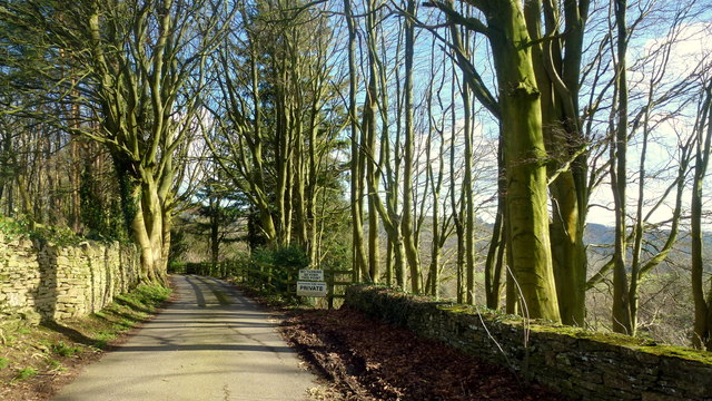
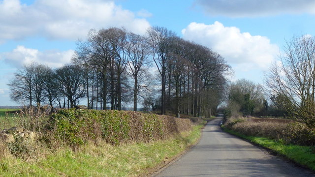
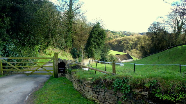
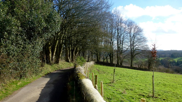
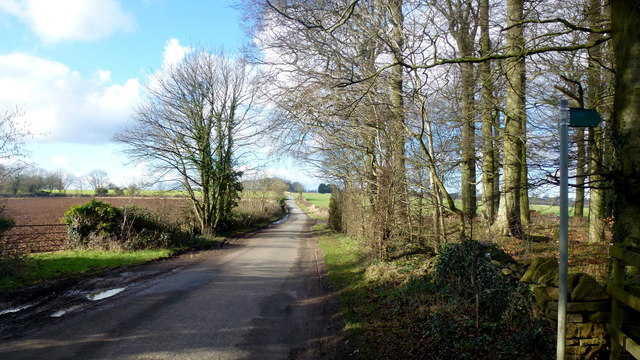
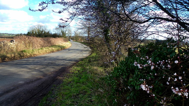
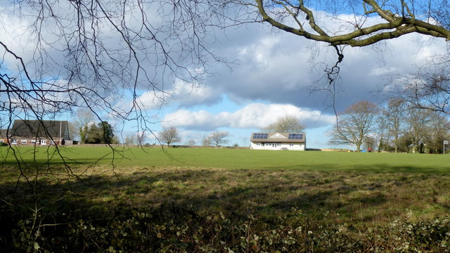
The hill is characterized by its distinctive conical shape and gentle slopes, covered in lush green vegetation, including grasses and trees. Its summit offers breathtaking panoramic views of the surrounding countryside, with rolling hills, meandering streams, and picturesque villages dotting the landscape.
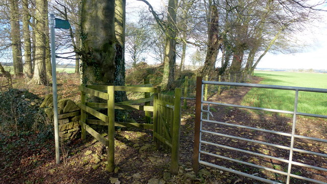
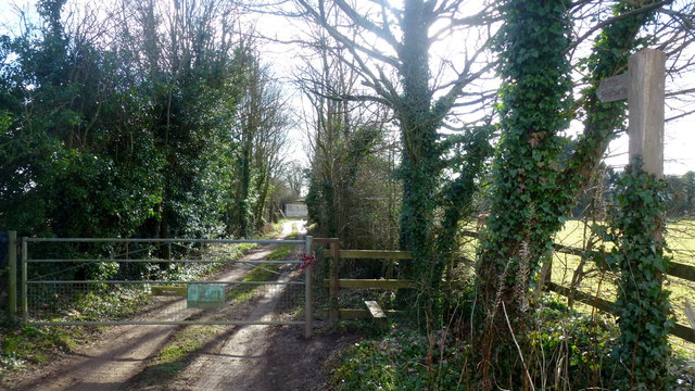
Barret's Hill is a popular destination for outdoor enthusiasts and hikers, who are drawn to its natural beauty and the opportunity to explore its diverse flora and fauna. The hill is crisscrossed by a network of well-maintained footpaths and trails, allowing visitors to navigate its slopes and reach the summit with ease.
One of the notable features of Barret's Hill is the presence of an Iron Age hillfort at its peak. The fortification, believed to have been constructed around 2,500 years ago, consists of earthwork ramparts and ditches. This ancient structure provides valuable insights into the region's rich history and attracts history enthusiasts and archaeologists alike.
Overall, Barret's Hill is a captivating natural landmark in Gloucestershire, offering a tranquil escape from the hustle and bustle of modern life. Its stunning vistas, coupled with its archaeological significance, make it a must-visit destination for anyone seeking to immerse themselves in the beauty and history of the Cotswolds.
If you have any feedback on the listing, please let us know in the comments section below.
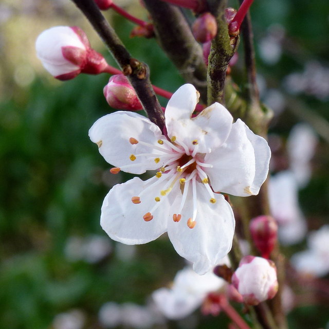
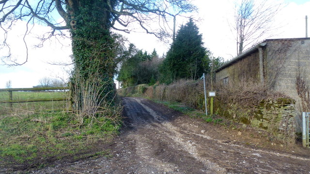
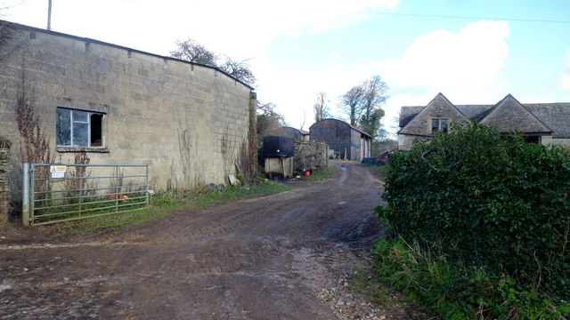
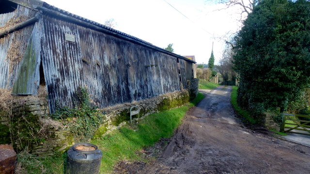
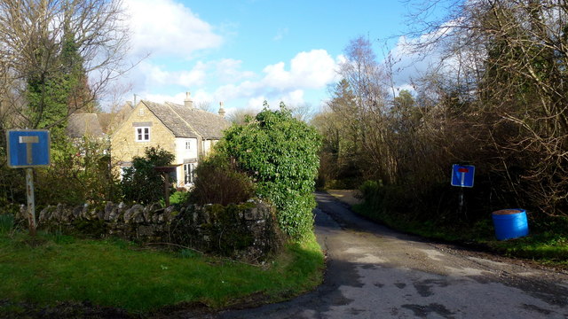
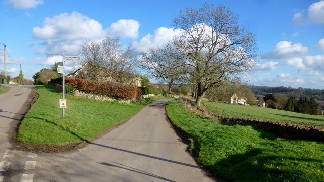
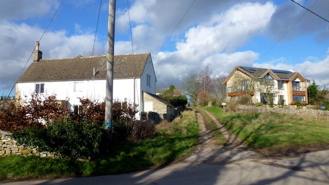
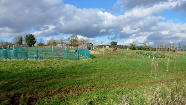
Barret's Hill Images
Images are sourced within 2km of 51.744564/-2.1027007 or Grid Reference SO9305. Thanks to Geograph Open Source API. All images are credited.

Barret's Hill is located at Grid Ref: SO9305 (Lat: 51.744564, Lng: -2.1027007)
Administrative County: Gloucestershire
District: Cotswold
Police Authority: Gloucestershire
What 3 Words
///lawful.contained.flitting. Near Chalford, Gloucestershire
Nearby Locations
Related Wikis

Juniper Hill, Edgeworth
Juniper Hill, Edgeworth (SO928058 and SO928064) is an 11.25-hectare (27.8-acre) biological Site of Special Scientific Interest in Gloucestershire, notified...

Battlescombe
Battlescombe is an area in the village of Bisley in Gloucestershire, England. == References ==

Sapperton Valley
Sapperton Valley (grid reference SO935035) is a 3.7-hectare (9.1-acre) nature reserve near Chalford in the Stroud district of Gloucestershire, England...

Siccaridge Wood
Siccaridge Wood (grid reference SO935035) is a 26.6-hectare (66-acre) nature reserve in Gloucestershire. The site is listed in the ‘Stroud District’ Local...

Daneway Banks SSSI
Daneway Banks (grid reference SO937034) is a 17-hectare (42-acre) biological Site of Special Scientific Interest in Gloucestershire, notified in 1954 and...

Daneway House
Daneway House is a grade I listed house in the parish of Bisley-with-Lypiatt but close to Sapperton in Gloucestershire, England.The house was built in...

Edgeworth, Gloucestershire
Edgeworth is a small village and civil parish in the English county of Gloucestershire. It is located east of Stroud, west of Cirencester and south of...

Oakridge, Gloucestershire
Oakridge is a village in Gloucestershire, England. The parish church is St. Bartholomew's Church. It is just on the outskirts of Stroud, Gloucestershire...
Nearby Amenities
Located within 500m of 51.744564,-2.1027007Have you been to Barret's Hill?
Leave your review of Barret's Hill below (or comments, questions and feedback).