Slut Wood
Wood, Forest in Gloucestershire Cotswold
England
Slut Wood
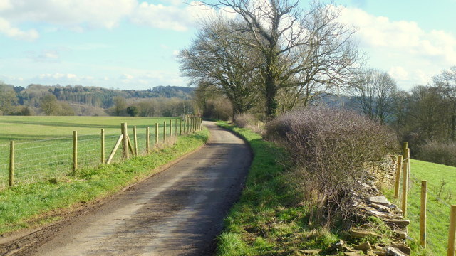
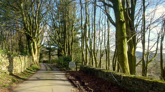
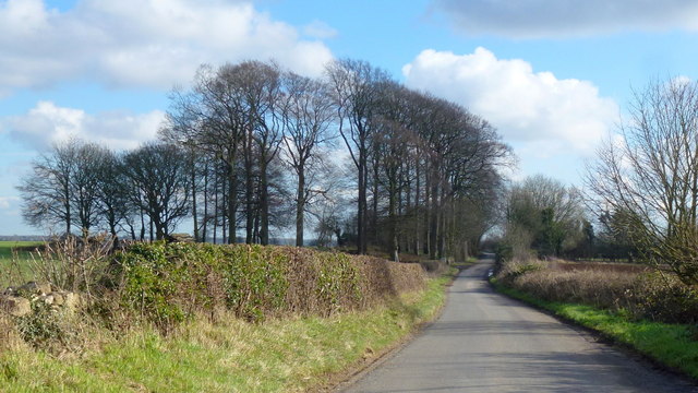
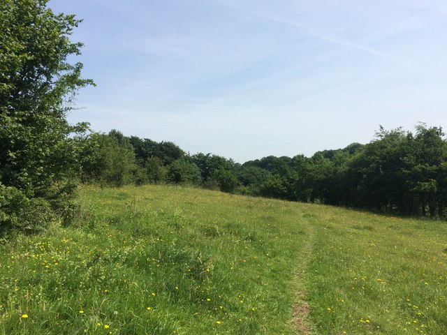
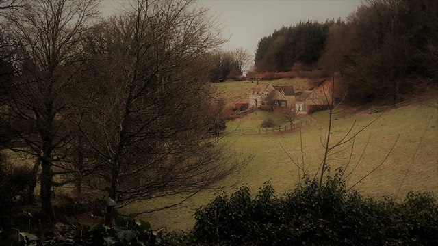
Slut Wood is a picturesque forested area located in the county of Gloucestershire, England. Covering an expansive area, this woodland is nestled within the stunning landscape of the Forest of Dean, a renowned ancient woodland and popular tourist destination.
The name "Slut Wood" is derived from the Old English word "slutte," meaning a muddy or dirty place. Despite its somewhat unusual name, the woodland is a serene and tranquil location, offering visitors a chance to escape the hustle and bustle of everyday life.
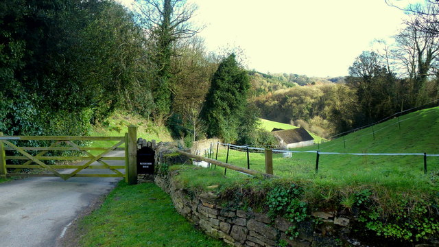
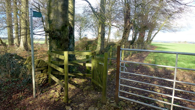
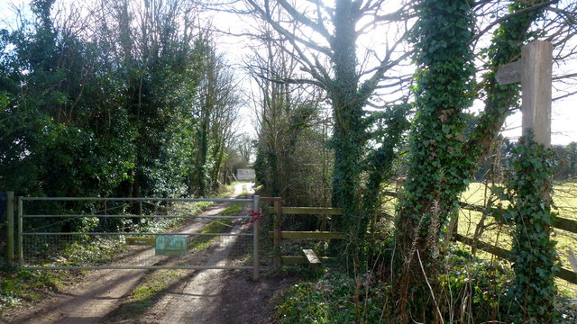
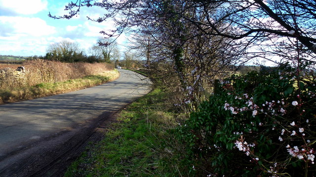
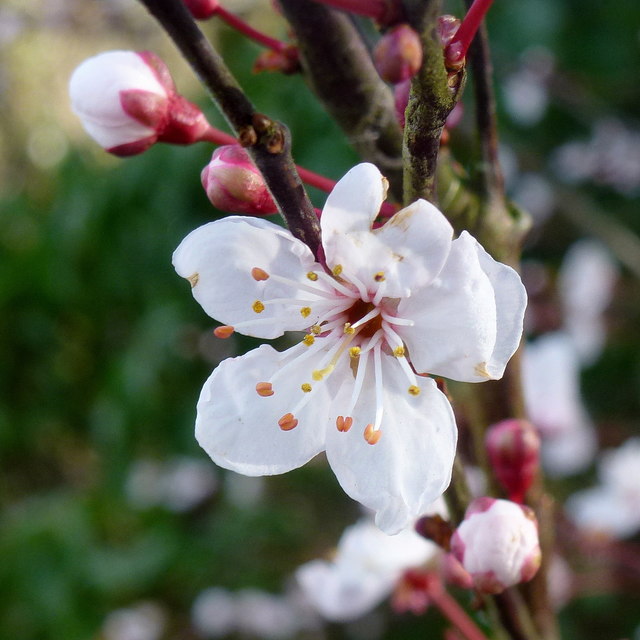
The wood is characterized by a diverse range of tree species, including oak, beech, and birch, creating a rich and vibrant ecosystem. The dense foliage provides a habitat for numerous wildlife species, such as deer, badgers, and a variety of bird species. Nature enthusiasts can enjoy exploring the forest trails, immersing themselves in the sights and sounds of the woodland.
In addition to its natural beauty, Slut Wood holds historical significance. The forest has been utilized for centuries, with evidence of iron ore mining and charcoal production dating back to the Roman era. The remnants of these activities can still be seen today, adding a layer of cultural heritage to the woodland.
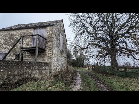
Slut Wood is a popular destination for outdoor activities, such as hiking, cycling, and wildlife spotting. The forest also offers picnic spots and designated camping areas, allowing visitors to fully embrace the natural surroundings. With its combination of natural beauty, historical significance, and recreational opportunities, Slut Wood remains a cherished gem within the Forest of Dean.
If you have any feedback on the listing, please let us know in the comments section below.
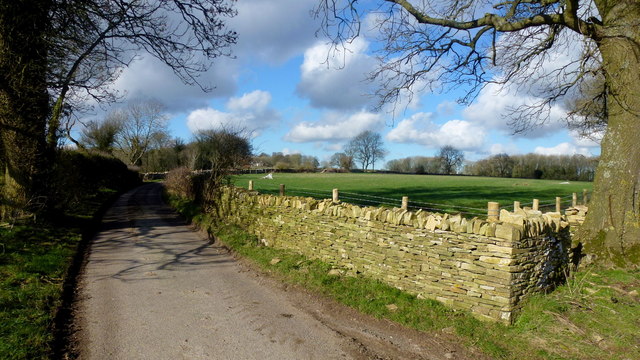
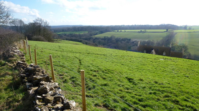
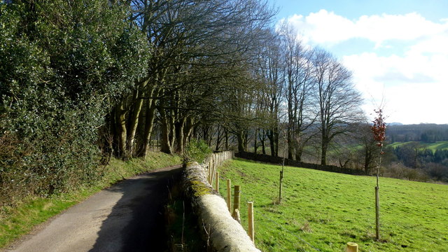
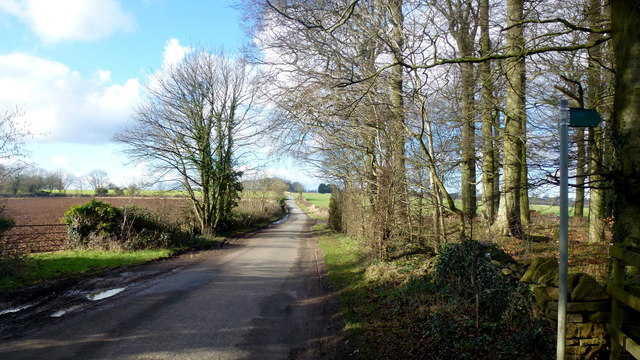
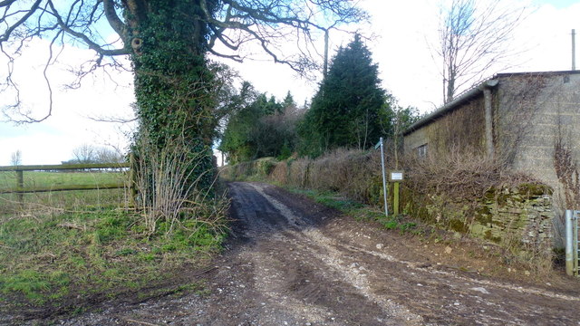
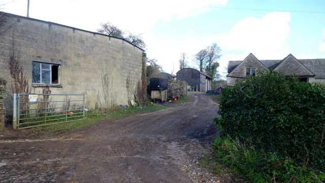
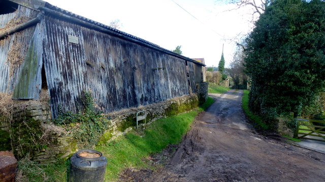
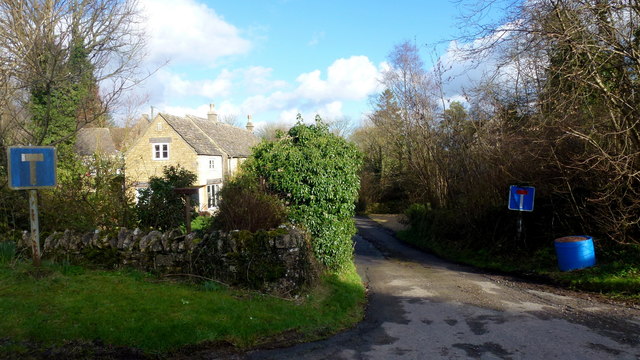
Slut Wood Images
Images are sourced within 2km of 51.749267/-2.1020886 or Grid Reference SO9305. Thanks to Geograph Open Source API. All images are credited.
Slut Wood is located at Grid Ref: SO9305 (Lat: 51.749267, Lng: -2.1020886)
Administrative County: Gloucestershire
District: Cotswold
Police Authority: Gloucestershire
What 3 Words
///lobster.buzzards.really. Near Chalford, Gloucestershire
Nearby Locations
Related Wikis

Juniper Hill, Edgeworth
Juniper Hill, Edgeworth (SO928058 and SO928064) is an 11.25-hectare (27.8-acre) biological Site of Special Scientific Interest in Gloucestershire, notified...

Battlescombe
Battlescombe is an area in the village of Bisley in Gloucestershire, England. == References ==

Edgeworth, Gloucestershire
Edgeworth is a small village and civil parish in the English county of Gloucestershire. It is located east of Stroud, west of Cirencester and south of...

Church of St Mary, Edgeworth
The Anglican Church of St Mary at Edgeworth in the Cotswold District of Gloucestershire, England was built in 11th century. It is a grade I listed building...

Edgeworth Manor
Edgeworth Manor is a Grade II* listed country house in Edgeworth, Gloucestershire, England. It was mentioned in the Domesday Book, when it was held by...

Sapperton Valley
Sapperton Valley (grid reference SO935035) is a 3.7-hectare (9.1-acre) nature reserve near Chalford in the Stroud district of Gloucestershire, England...

Siccaridge Wood
Siccaridge Wood (grid reference SO935035) is a 26.6-hectare (66-acre) nature reserve in Gloucestershire. The site is listed in the ‘Stroud District’ Local...

Daneway House
Daneway House is a grade I listed house in the parish of Bisley-with-Lypiatt but close to Sapperton in Gloucestershire, England.The house was built in...
Related Videos
A Morning Walk Under a Grey Blanket of Cloud | COTSWOLDS
So, today we are out and about walking in the Cotswold Hamlet of Far Oakridge, which is one of five hamlets derived from the ...

Walking at First Light Through a Beautiful Cotswold Village
So, today we are out and about walking at very first light in the village Of Bisley which is located around 4 miles east of Stroud in ...

Sapperton Short #aerialphotography #canals #canalbridge #aerialvideography #boat #thames #droneshots
What Lies Beneath the Cotswolds - The Sapperton Tunnel To become a member please follow ...

Mind Blowing Discoveries in Hidden Tunnel Secrets and Unusual Formations Revealed!
What Lies Beneath the Cotswolds - The Sapperton Tunnel To become a member please follow ...
Nearby Amenities
Located within 500m of 51.749267,-2.1020886Have you been to Slut Wood?
Leave your review of Slut Wood below (or comments, questions and feedback).