Whelphill Plantation

Wood, Forest in Yorkshire Craven

England

Whelphill Plantation

Narrow stile by Flasby Beck In the trees you can just see the bridge carrying the access track to Flasby Moor Side Farm.
Narrow stile by Flasby Beck Credit: Bill Boaden

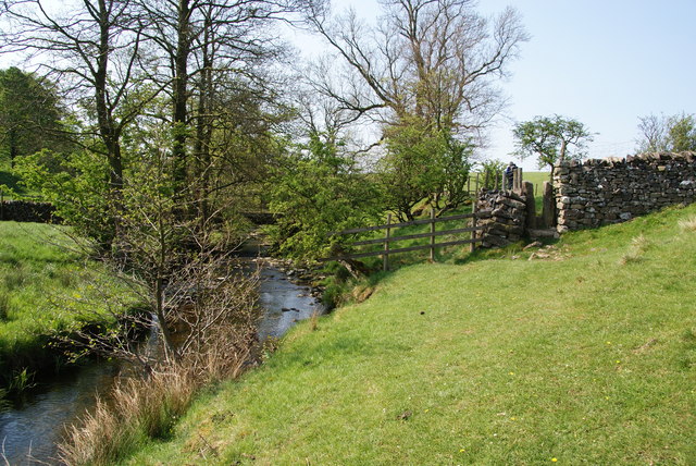
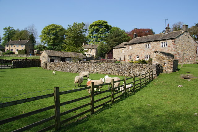
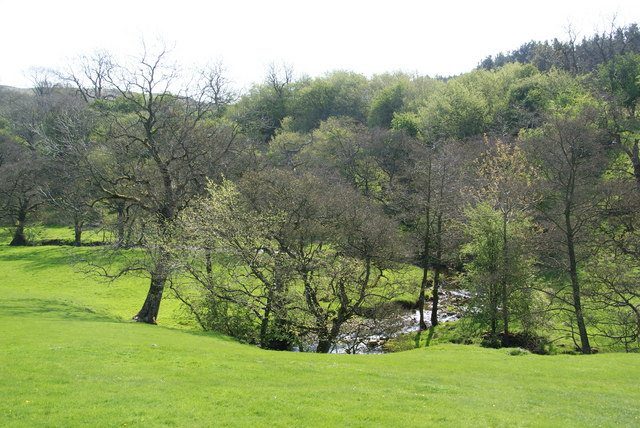
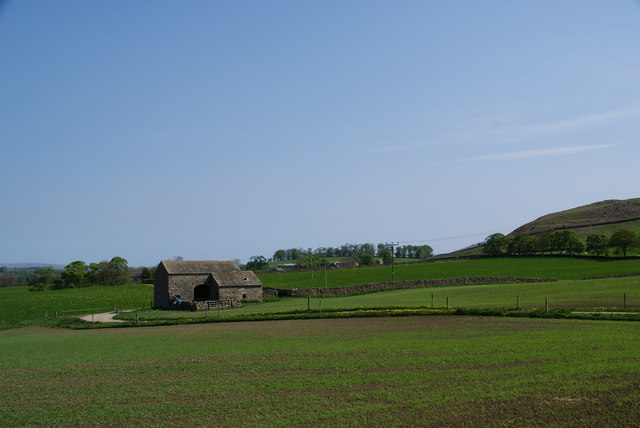
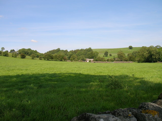
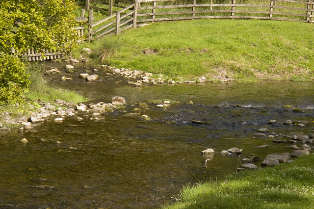
Whelphill Plantation is a picturesque woodland located in Yorkshire, England. Situated in the heart of the region, the plantation covers a vast area of rich, dense forest. It is a haven for nature enthusiasts and a popular destination for those seeking tranquility amidst the beauty of the natural world.

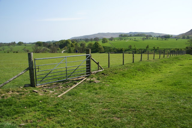
The woodland is known for its diverse range of flora and fauna, boasting an array of native tree species such as oak, beech, and birch. The lush undergrowth is adorned with a variety of wildflowers, creating a vibrant and colorful landscape throughout the seasons.

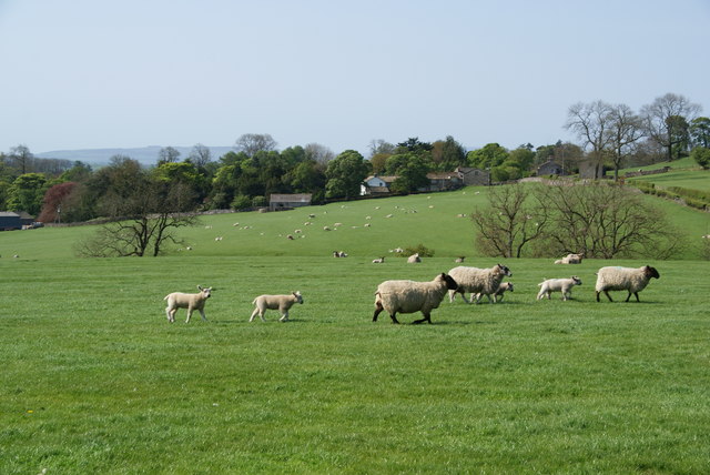
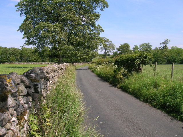
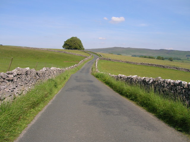
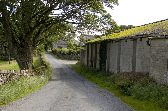
Whelphill Plantation offers numerous well-maintained trails, allowing visitors to explore the woodland at their own pace. These paths wind their way through the forest, providing stunning views of the surrounding countryside and glimpses of local wildlife. Birdwatchers will be delighted by the presence of various avian species, including woodpeckers, owls, and songbirds.

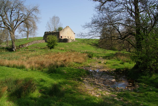
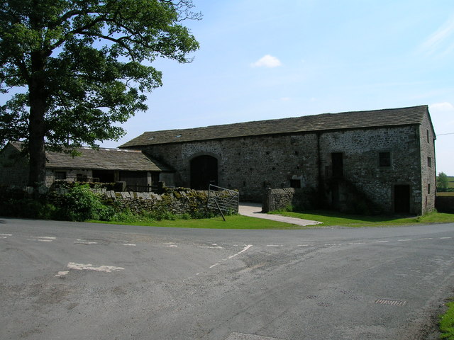
For those interested in history, Whelphill Plantation holds a fascinating past. The land was once used for timber production, supplying the local area with valuable resources. Evidence of this can still be seen in the remnants of old logging tracks and sawmill ruins scattered throughout the woodland.

Whether it's a leisurely walk, a birdwatching expedition, or a journey through history, Whelphill Plantation offers something for everyone. Its natural beauty and tranquil ambiance make it a must-visit destination for nature lovers and those seeking a peaceful retreat in the heart of Yorkshire.

If you have any feedback on the listing, please let us know in the comments section below.

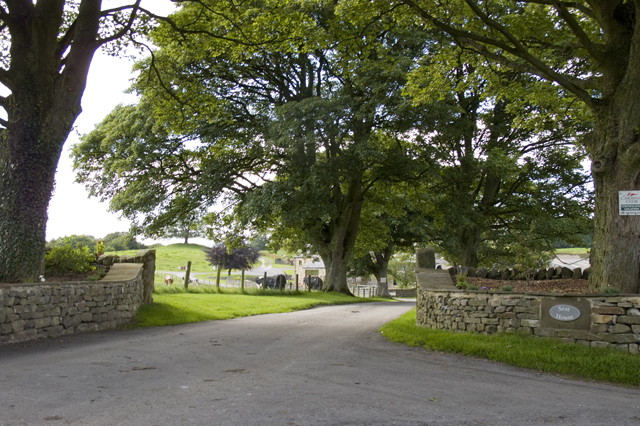
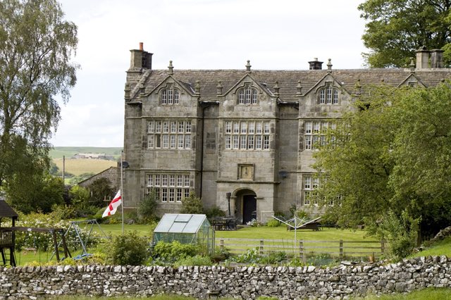
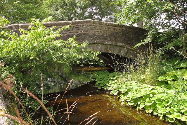
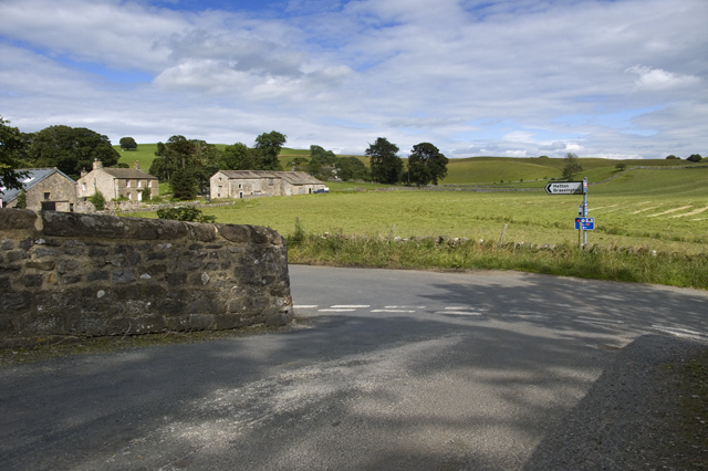
Whelphill Plantation Images

Images are sourced within 2km of 54.006298/-2.101518 or Grid Reference SD9356. Thanks to Geograph Open Source API. All images are credited.

Narrow stile by Flasby Beck In the trees you can just see the bridge carrying the access track to Flasby Moor Side Farm.
Narrow stile by Flasby Beck
In the trees you can just see the bridge carrying the access track to Flasby Moor Side Farm.
Gate between fields above Flasby Flasby is out of sight in the dip ahead. We had inadvertently wandered away from the path which is nearer to Flasby Beck.
Gate between fields above Flasby
Flasby is out of sight in the dip ahead. We had inadvertently wandered away from the path which is nearer to Flasby Beck.
Sheep near Flasby Flasby is in the trees ahead.
Sheep near Flasby
Flasby is in the trees ahead.
Holme Laithe
Holme Laithe
Flasby As seen from the footpath alongside Flasby Beck.
Flasby
As seen from the footpath alongside Flasby Beck.
Flasby Beck Viewed from the side of Holme Laithe.
Flasby Beck
Viewed from the side of Holme Laithe.
Oldfield Laithe On the western lower slopes of Flasby Fell.
Oldfield Laithe
On the western lower slopes of Flasby Fell.
Minor road towards Winterburn
Farmland near Winterburn
Winterburn Hall
Winterburn Hall
Hills Lane towards Hetton
New Laithe Barn, Eshton
Entrance Drive to Seat House
Friars Head Hall. Winterburn
Road bridge over Winterburn Beck
Road Junction, Winterburn
Confluence of Eshton Beck and Flasby Beck Flasby beck is joining up here with the larger Eshton Beck
Confluence of Eshton Beck and Flasby Beck
Flasby beck is joining up here with the larger Eshton Beck
Show me another place!

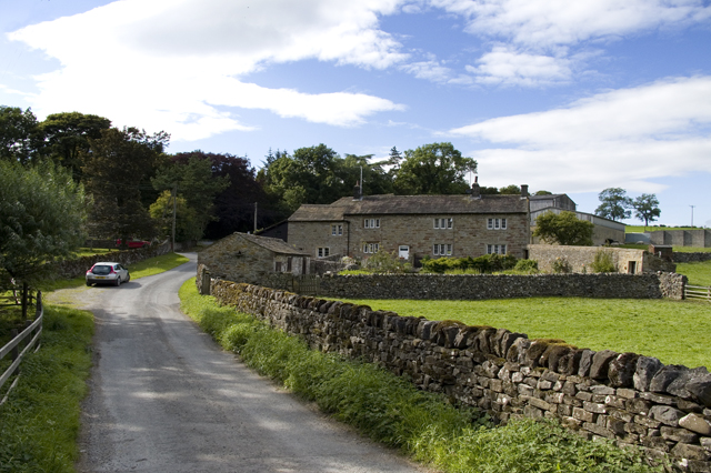
Whelphill Plantation is located at Grid Ref: SD9356 (Lat: 54.006298, Lng: -2.101518)

Division: West Riding

Administrative County: North Yorkshire

District: Craven

Police Authority: North Yorkshire

What 3 Words

///slider.subway.serenade. Near Gargrave, North Yorkshire

Related Wikis

Flasby

Flasby is a hamlet in the Yorkshire Dales in North Yorkshire, England. It is one of the two settlements, with Winterburn, in the civil parish of Flasby...

Winterburn

Winterburn is a village in the Craven district of North Yorkshire, England. It is about 5 miles (8 km) south west of Grassington. Winterburn Reservoir...

Gargrave

Gargrave is a large village and civil parish in the former Craven District located along the A65, 4 miles (6 km) north-west of Skipton in North Yorkshire...

Eshton

Eshton is a small village and civil parish in the Craven district of North Yorkshire, England. At the 2011 Census the population was less than 100 and...

Nearby Amenities

Located within 500m of 54.006298,-2.101518
Bark Hill
Ele Ft: 575
Natural: peak
Source: OS 1:25k
Source Ele: OS sheet 150, publ. 1853
Lat/Long: 54.0059746/-2.0967562
Source: Bing
Lat/Long: 54.0064552/-2.0940559
Source: Bing
Lat/Long: 54.0068091/-2.0942253
Source: Bing
Lat/Long: 54.0070648/-2.0940974
Source: Bing
Lat/Long: 54.007021/-2.0947275
Source: Bing
Lat/Long: 54.007099/-2.0945196
Source: Bing
Lat/Long: 54.0070778/-2.0947892
Source: Bing
Lat/Long: 54.0071336/-2.0946411
Source: Bing
Lat/Long: 54.007156/-2.0945816
Source: Bing
Lat/Long: 54.0071568/-2.0946664
Source: Bing
Lat/Long: 54.0071861/-2.094217
Source: Bing
Lat/Long: 54.0072112/-2.0943157
Source: Bing
Lat/Long: 54.0072311/-2.0940849
Source: Bing
Lat/Long: 54.0073184/-2.094425
Place: farm
Lat/Long: 54.0037632/-2.1036805
lime kiln
Archaeological Site: lime_kiln
Historic: archaeological_site
Mineral: limestone
Output: lime
Source: OS sheet 150,publ 1853
Lat/Long: 54.0064934/-2.1008214
Fortem People
Addr City: Skipton
Addr Housename: The Barn
Addr Postcode: BD23 3QD
Addr Street: Bark Hill
Addr Suburb: Flasby
Office: recruitment
Website: https://fortempeople.co.uk/
Lat/Long: 54.0071882/-2.0941164
Power: pole
Source: Bing
Lat/Long: 54.0031846/-2.106155
Power: pole
Source: Bing
Lat/Long: 54.0041496/-2.1059734
Power: pole
Source: Bing
Lat/Long: 54.005017/-2.1058775
Power: pole
Source: Bing
Lat/Long: 54.0057793/-2.1057244
Power: pole
Source: Bing
Lat/Long: 54.006476/-2.1055835
Power: pole
Source: Bing
Lat/Long: 54.0071102/-2.1054552
Power: pole
Source: Bing
Lat/Long: 54.0081772/-2.1052394
Power: pole
Source: Bing
Lat/Long: 54.0086879/-2.1051227
Power: pole
Source: Bing
Lat/Long: 54.0095857/-2.1049177
Power: pole
Source: Bing
Lat/Long: 54.0088753/-2.1059475
Power: pole
Source: Bing
Lat/Long: 54.0090705/-2.1067542
Power: pole
Source: Bing
Lat/Long: 54.00704/-2.1072626
Power: pole
Source: Bing
Lat/Long: 54.0069927/-2.1084973
Power: pole
Source: Bing
Lat/Long: 54.0066833/-2.1045766
Power: pole
Source: Bing
Lat/Long: 54.0069074/-2.1035339
Power: pole
Source: Bing
Lat/Long: 54.0070674/-2.1026649
Power: pole
Source: Bing
Lat/Long: 54.007319/-2.1013005
Power: pole
Source: Bing
Lat/Long: 54.0074745/-2.1002551
Power: pole
Source: Bing
Lat/Long: 54.0076467/-2.0992746
Power: pole
Source: Bing
Lat/Long: 54.0078296/-2.0981437
Power: pole
Source: Bing
Lat/Long: 54.007787/-2.0966859
Power: pole
Source: Bing
Lat/Long: 54.0077321/-2.0954668
The data included in this document is from www.openstreetmap.org. The data is made available under ODbL.

Have you been to Whelphill Plantation?

Leave your review of Whelphill Plantation below (or comments, questions and feedback).