Bark Hill

Hill, Mountain in Yorkshire Craven

England

Bark Hill

Narrow stile by Flasby Beck In the trees you can just see the bridge carrying the access track to Flasby Moor Side Farm.
Narrow stile by Flasby Beck Credit: Bill Boaden

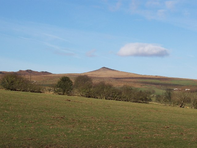
Bark Hill is a prominent hill located in the picturesque region of Yorkshire, England. Situated in the northern part of the county, it is part of the beautiful landscape that characterizes this area. With an elevation of approximately 1,200 feet, Bark Hill is often referred to as a mountain due to its impressive height and commanding presence in the surrounding countryside.

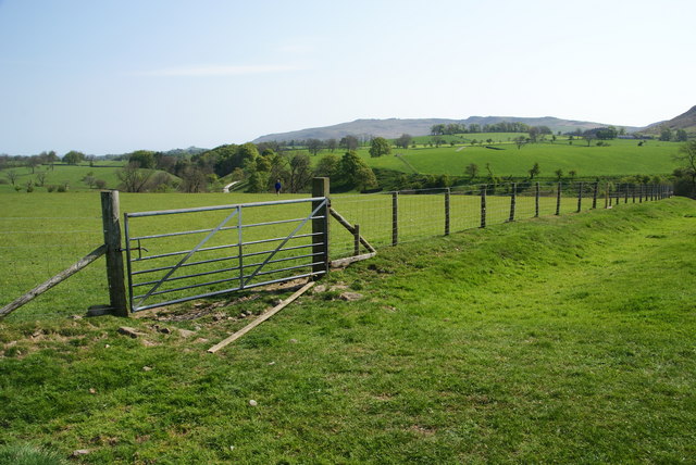
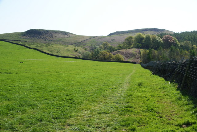
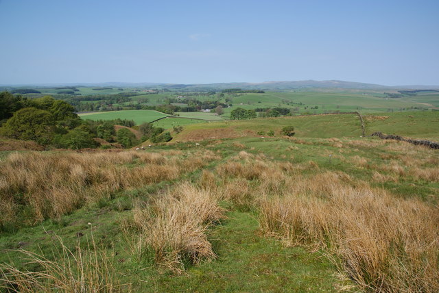
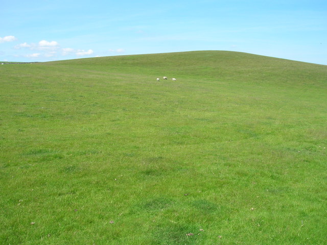
Covered in lush green grass and dotted with heather, the hill offers breathtaking panoramic views of the surrounding villages and rolling hills. Its slopes are gentle and undulating, making it a popular destination for hikers and nature enthusiasts. The summit provides a vantage point that allows visitors to soak in the stunning vistas of the Yorkshire Dales and the distant Pennines.

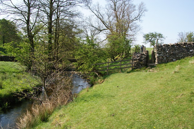
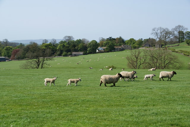
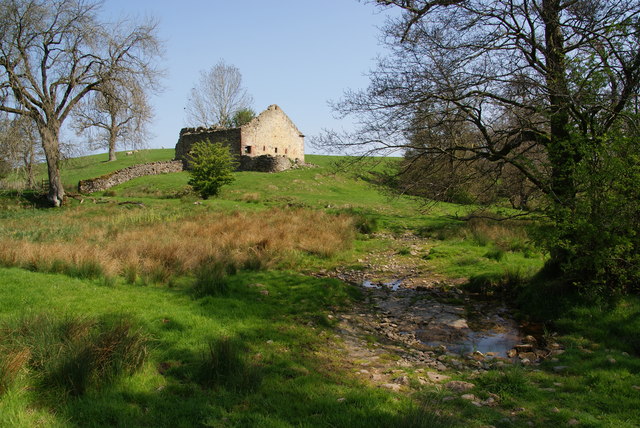
Bark Hill is renowned for its rich biodiversity and ecological importance. The hill is home to a wide variety of flora and fauna, including rare species of birds, mammals, and wildflowers. The area is also known for its ancient woodlands and meandering streams that add to the charm and tranquility of the landscape.

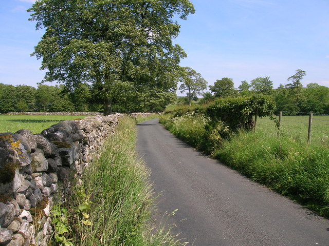
The hill is easily accessible, thanks to well-maintained footpaths and trails that cater to both casual walkers and experienced hikers. It attracts visitors from all over the country who come to explore its natural beauty, engage in outdoor activities, or simply enjoy a peaceful retreat in the heart of nature.

Bark Hill is not only a remarkable natural landmark but also a symbol of the timeless beauty and allure of the Yorkshire countryside.

If you have any feedback on the listing, please let us know in the comments section below.
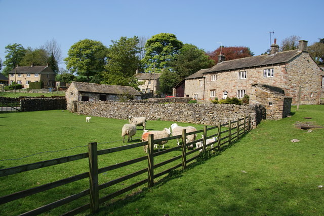
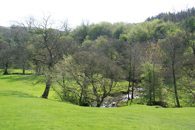
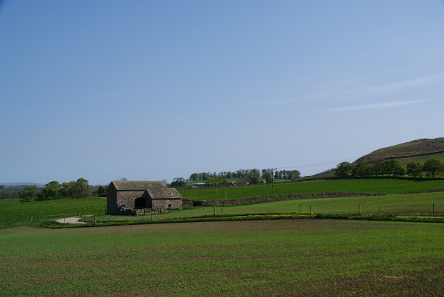
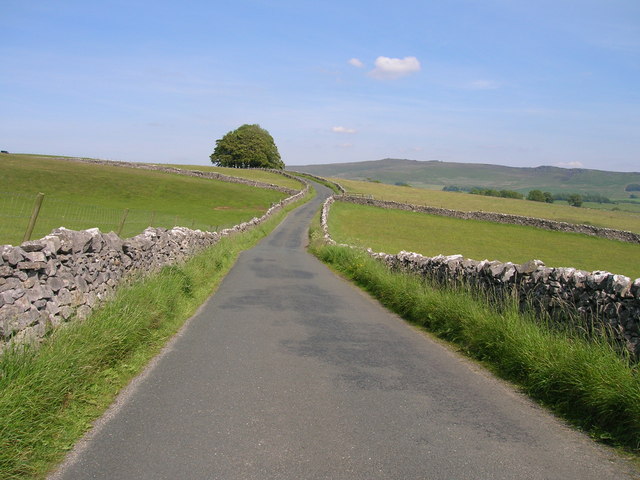
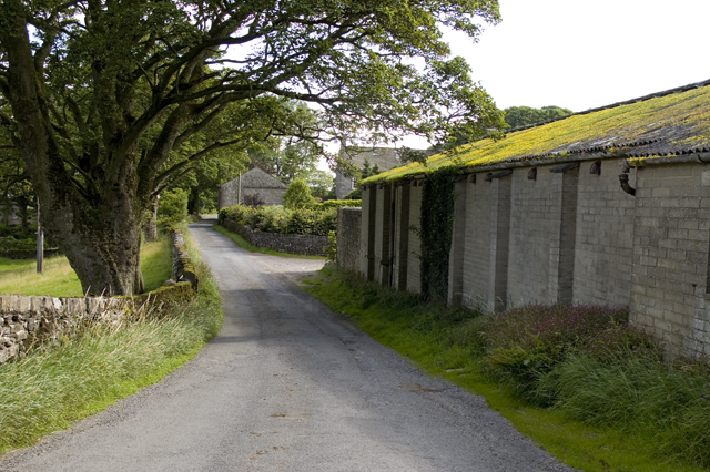
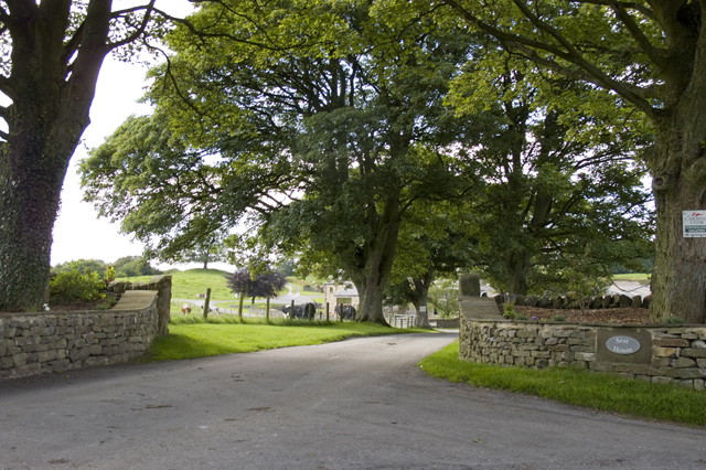
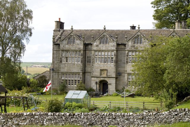
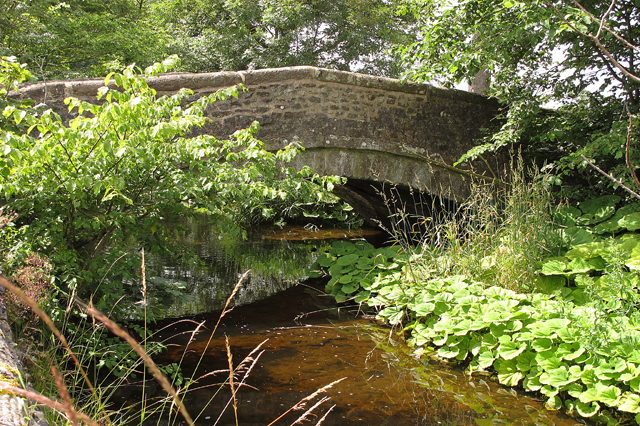
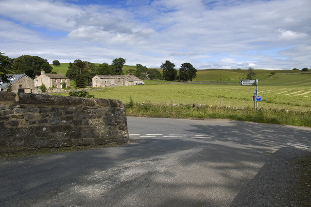
Bark Hill Images

Images are sourced within 2km of 54.00605/-2.096635 or Grid Reference SD9356. Thanks to Geograph Open Source API. All images are credited.

Narrow stile by Flasby Beck In the trees you can just see the bridge carrying the access track to Flasby Moor Side Farm.
Narrow stile by Flasby Beck
In the trees you can just see the bridge carrying the access track to Flasby Moor Side Farm.
Gate between fields above Flasby Flasby is out of sight in the dip ahead. We had inadvertently wandered away from the path which is nearer to Flasby Beck.
Gate between fields above Flasby
Flasby is out of sight in the dip ahead. We had inadvertently wandered away from the path which is nearer to Flasby Beck.
Sheep near Flasby Flasby is in the trees ahead.
Sheep near Flasby
Flasby is in the trees ahead.
Holme Laithe
Holme Laithe
Flasby As seen from the footpath alongside Flasby Beck.
Flasby
As seen from the footpath alongside Flasby Beck.
Flasby Beck Viewed from the side of Holme Laithe.
Flasby Beck
Viewed from the side of Holme Laithe.
Oldfield Laithe On the western lower slopes of Flasby Fell.
Oldfield Laithe
On the western lower slopes of Flasby Fell.
Path heading for Flasby Fell The access land begins at the next wall. On the map, the path strikes further left to the gap in the wall, but most current usage keeps by the wall till later.
Path heading for Flasby Fell
The access land begins at the next wall. On the map, the path strikes further left to the gap in the wall, but most current usage keeps by the wall till later.
The lower slopes of Flasby Fell A small beck runs down here, with the potential for making the ground boggy. In the distance are the Bowland hills.
The lower slopes of Flasby Fell
A small beck runs down here, with the potential for making the ground boggy. In the distance are the Bowland hills.
Minor road towards Winterburn
Winterburn Hall
Winterburn Hall
Farmland off Hills Lane
Hills Lane towards Hetton
New Laithe Barn, Eshton
Entrance Drive to Seat House
Friars Head Hall. Winterburn
Road bridge over Winterburn Beck
Road Junction, Winterburn
Show me another place!

Bark Hill is located at Grid Ref: SD9356 (Lat: 54.00605, Lng: -2.096635)

Division: West Riding

Administrative County: North Yorkshire

District: Craven

Police Authority: North Yorkshire

What 3 Words

///unsightly.devoured.dweller. Near Gargrave, North Yorkshire

Related Wikis

Nearby Amenities

Located within 500m of 54.00605,-2.096635
Bark Hill
Ele Ft: 575
Natural: peak
Source: OS 1:25k
Source Ele: OS sheet 150, publ. 1853
Lat/Long: 54.0059746/-2.0967562
Barrier: cattle_grid
Lat/Long: 54.0037778/-2.091556
Source: Bing
Lat/Long: 54.003835/-2.0916482
Source: Bing
Lat/Long: 54.0041902/-2.0922119
Barrier: cattle_grid
Source: Bing
Lat/Long: 54.004356/-2.0925881
Source: Bing
Lat/Long: 54.0052655/-2.0933756
Source: Bing
Lat/Long: 54.0057121/-2.0935202
Source: Bing
Lat/Long: 54.0059618/-2.0937862
Source: Bing
Lat/Long: 54.0064552/-2.0940559
Source: Bing
Lat/Long: 54.0068091/-2.0942253
Source: Bing
Lat/Long: 54.0070648/-2.0940974
Source: Bing
Lat/Long: 54.007021/-2.0947275
Source: Bing
Lat/Long: 54.0071099/-2.0939653
Source: Bing
Lat/Long: 54.007099/-2.0945196
Source: Bing
Lat/Long: 54.0070778/-2.0947892
Source: Bing
Lat/Long: 54.0071336/-2.0946411
Source: Bing
Lat/Long: 54.007156/-2.0945816
Source: Bing
Lat/Long: 54.0071568/-2.0946664
Source: Bing
Lat/Long: 54.0071861/-2.094217
Source: Bing
Lat/Long: 54.0072112/-2.0943157
Source: Bing
Lat/Long: 54.0072311/-2.0940849
Source: Bing
Lat/Long: 54.0073345/-2.0939654
Source: Bing
Lat/Long: 54.0073184/-2.094425
Source: Bing
Lat/Long: 54.0074417/-2.0940747
lime kiln
Archaeological Site: lime_kiln
Historic: archaeological_site
Mineral: limestone
Output: lime
Source: OS sheet 150,publ 1853
Lat/Long: 54.0064934/-2.1008214
Fortem People
Addr City: Skipton
Addr Housename: The Barn
Addr Postcode: BD23 3QD
Addr Street: Bark Hill
Addr Suburb: Flasby
Office: recruitment
Website: https://fortempeople.co.uk/
Lat/Long: 54.0071882/-2.0941164
Power: pole
Source: Bing
Lat/Long: 54.0069074/-2.1035339
Power: pole
Source: Bing
Lat/Long: 54.0070674/-2.1026649
Power: pole
Source: Bing
Lat/Long: 54.007319/-2.1013005
Power: pole
Source: Bing
Lat/Long: 54.0074745/-2.1002551
Power: pole
Source: Bing
Lat/Long: 54.0076467/-2.0992746
Power: pole
Source: Bing
Lat/Long: 54.0078296/-2.0981437
Power: pole
Source: Bing
Lat/Long: 54.007787/-2.0966859
Power: pole
Source: Bing
Lat/Long: 54.0077321/-2.0954668
Power: pole
Source: Bing
Lat/Long: 54.0076863/-2.0940634
Power: pole
Source: Bing
Lat/Long: 54.0076452/-2.0928132
Power: pole
Source: Bing
Lat/Long: 54.0076086/-2.0919079
Power: pole
Source: Bing
Lat/Long: 54.0075705/-2.090559
The data included in this document is from www.openstreetmap.org. The data is made available under ODbL.

Have you been to Bark Hill?

Leave your review of Bark Hill below (or comments, questions and feedback).