The Orange Hayes

Wood, Forest in Staffordshire Stafford

England

The Orange Hayes

Brassworks Bridge near Stone in Staffordshire Brassworks Bridge is No 91 across the Trent and Mersey Canal south-east of Stone town centre. The former accommodation bridge now allows access to the towpath and meadows by the River Trent from the housing estate behind the trees on the right (Simeon Way).
Brassworks Bridge near Stone in Staffordshire Credit: Roger Kidd

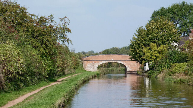
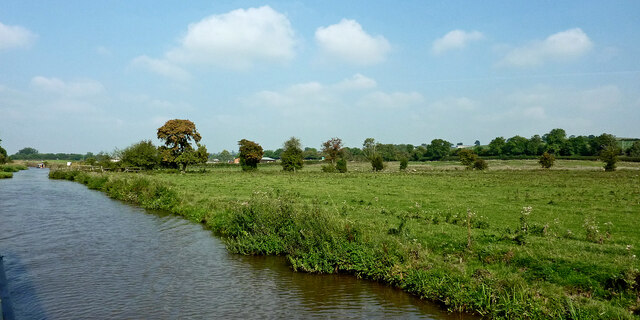
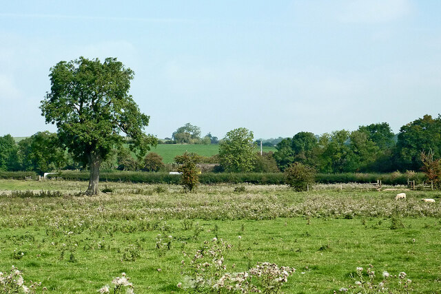
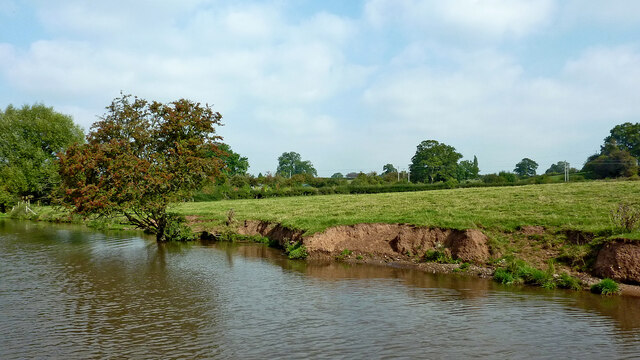
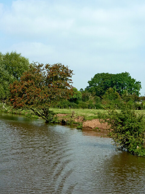
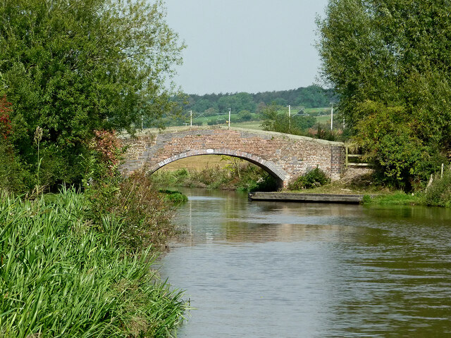
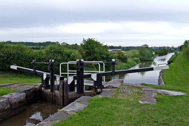
The Orange Hayes is a picturesque woodland located in Staffordshire, England. Spread across an expansive area, it is a popular destination for nature lovers and outdoor enthusiasts. The woodland is known for its dense forest cover, featuring a variety of trees including oak, beech, and birch, among others.

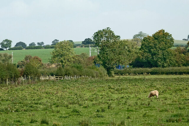
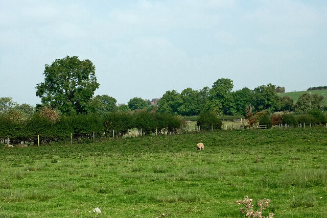
The Orange Hayes offers a tranquil and serene environment, providing visitors with the opportunity to immerse themselves in nature. The woodland is home to diverse wildlife, such as deer, foxes, and a wide range of bird species. Birdwatchers can enjoy observing and identifying different species in their natural habitat.

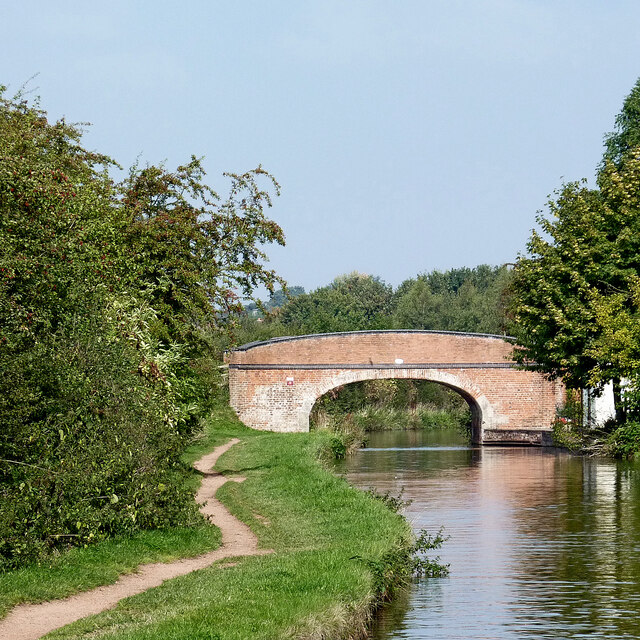
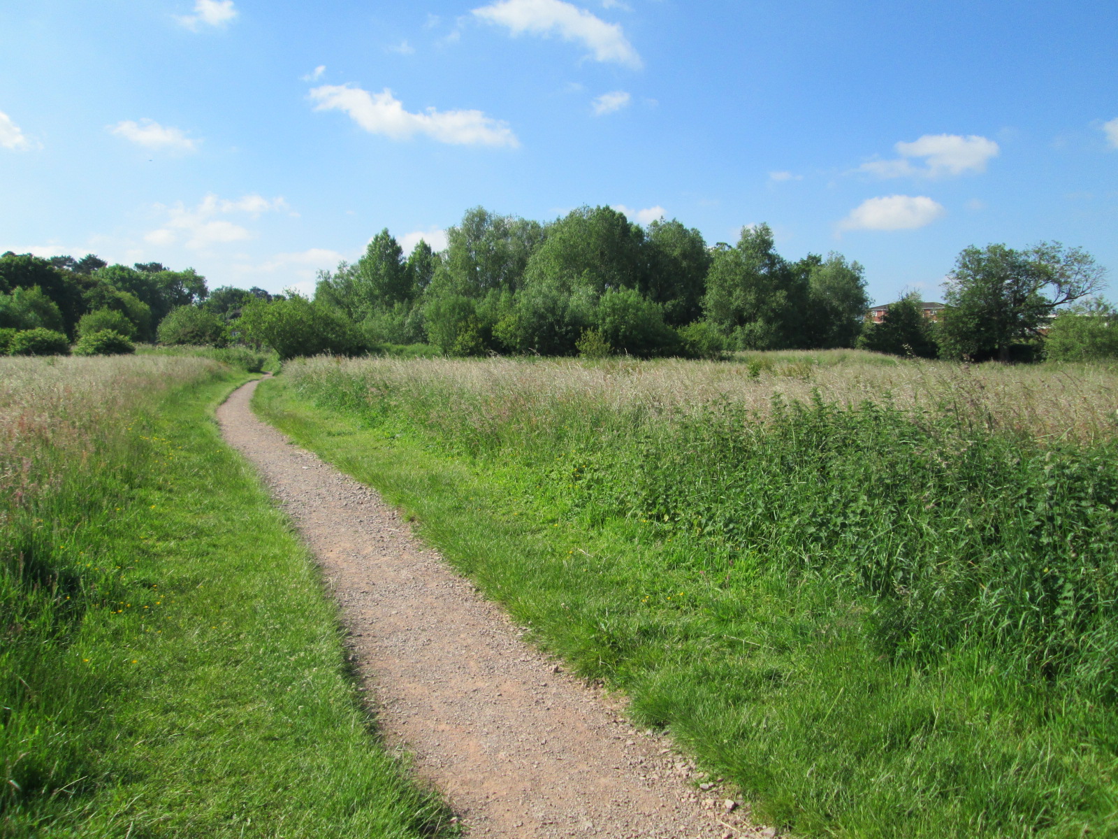
The woodland is also ideal for walking and hiking enthusiasts, with numerous trails and paths winding through the forest. These paths are well-maintained, ensuring a pleasant and safe experience for visitors of all ages. Exploring the woodland on foot allows visitors to appreciate the beauty of the natural surroundings and discover hidden gems within the forest.

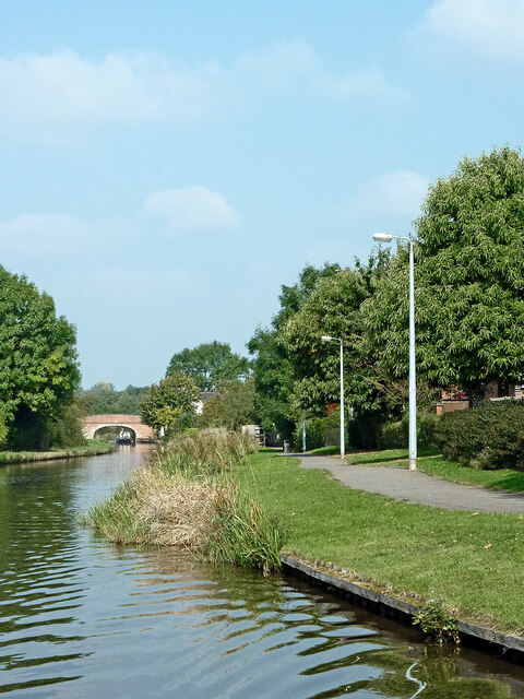
Furthermore, The Orange Hayes provides a peaceful retreat for those seeking a break from the hustle and bustle of city life. Its serene atmosphere and breathtaking scenery make it an excellent spot for relaxation and rejuvenation. Whether it's a leisurely stroll, a picnic among the trees, or simply soaking in the natural beauty, The Orange Hayes offers something for everyone.

In summary, The Orange Hayes in Staffordshire is a stunning woodland that provides a haven for nature lovers. With its diverse flora and fauna, well-maintained trails, and peaceful atmosphere, it is a perfect destination for those seeking a connection with nature and an escape from the daily grind.

If you have any feedback on the listing, please let us know in the comments section below.

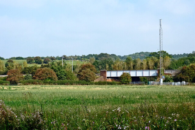
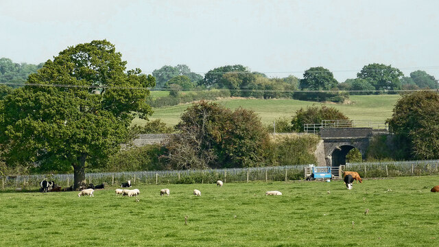
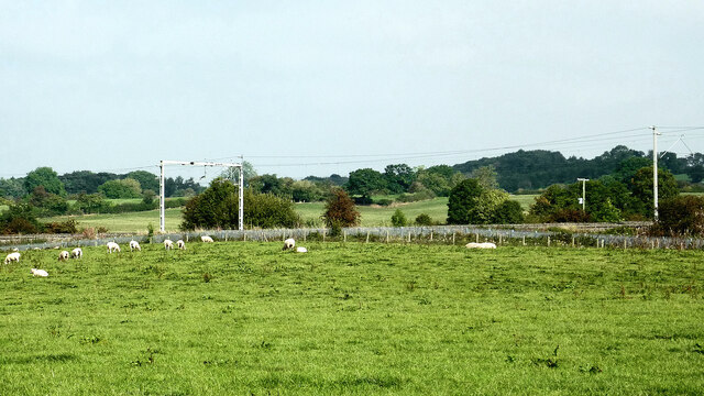
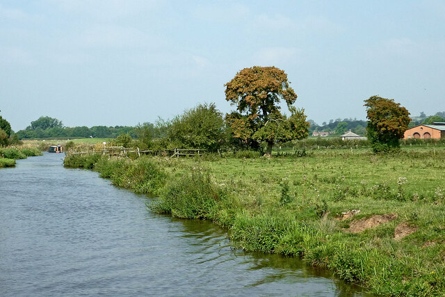
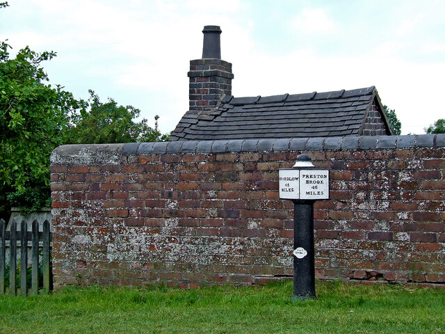
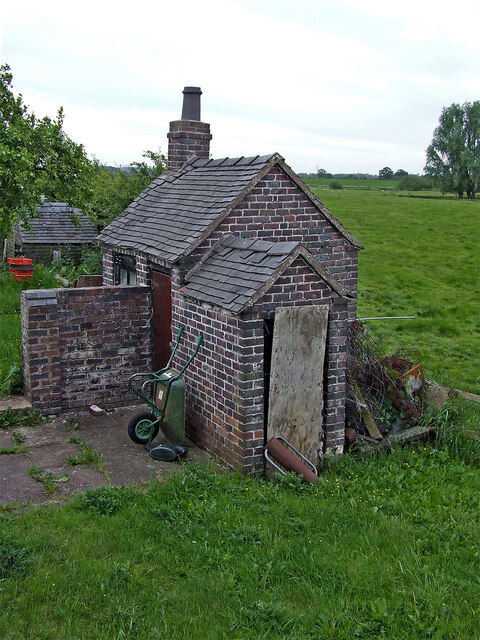
The Orange Hayes Images

Images are sourced within 2km of 52.88764/-2.1060272 or Grid Reference SJ9232. Thanks to Geograph Open Source API. All images are credited.

Brassworks Bridge near Stone in Staffordshire Brassworks Bridge is No 91 across the Trent and Mersey Canal south-east of Stone town centre. The former accommodation bridge now allows access to the towpath and meadows by the River Trent from the housing estate behind the trees on the right (Simeon Way).
Brassworks Bridge near Stone in Staffordshire
Brassworks Bridge is No 91 across the Trent and Mersey Canal south-east of Stone town centre. The former accommodation bridge now allows access to the towpath and meadows by the River Trent from the housing estate behind the trees on the right (Simeon Way).
Brassworks Bridge near Stone in Staffordshire Brassworks Bridge is No 91 across the Trent and Mersey Canal south-east of Stone town centre. The former accommodation bridge now allows access to the towpath and meadows by the River Trent from the housing estate behind the trees on the right (Simeon Way).

This is a telephoto assisted image, looking north-west from a distance of almost two hundred metres.
Brassworks Bridge near Stone in Staffordshire
Brassworks Bridge is No 91 across the Trent and Mersey Canal south-east of Stone town centre. The former accommodation bridge now allows access to the towpath and meadows by the River Trent from the housing estate behind the trees on the right (Simeon Way). This is a telephoto assisted image, looking north-west from a distance of almost two hundred metres.
Trent and Mersey Canal near Stone in Staffordshire Looking north-west near Little Stoke at the south-eastern end of Stone's residential area (off to the right). The River Trent is close by, off to the left.
Trent and Mersey Canal near Stone in Staffordshire
Looking north-west near Little Stoke at the south-eastern end of Stone's residential area (off to the right). The River Trent is close by, off to the left.
Canalside housing near Stone, Staffordshire These modern houses by the Trent and Mersey Canal are in Highgrove, Little Stoke.
Canalside housing near Stone, Staffordshire
These modern houses by the Trent and Mersey Canal are in Highgrove, Little Stoke.
Canal and pasture south-east of Stone in Staffordshire This flat land is part of the River Trent flood plain. The river meanders towards the camera, off to the left.

The Trent and Mersey Canal continues north-west towards Stone and Stoke-on-Trent.
Canal and pasture south-east of Stone in Staffordshire
This flat land is part of the River Trent flood plain. The river meanders towards the camera, off to the left. The Trent and Mersey Canal continues north-west towards Stone and Stoke-on-Trent.
Canalside pasture south-east of Stone in Staffordshire Looking north from the Trent and Mersey Canal near Carr House Bridge, No 89.
The A51 road (between Stone and Rugeley) is behind the hedge.
Canalside pasture south-east of Stone in Staffordshire
Looking north from the Trent and Mersey Canal near Carr House Bridge, No 89. The A51 road (between Stone and Rugeley) is behind the hedge.
Pasture south-east of Stone in Staffordshire Looking north from the Trent and Mersey Canal south-east of Carr House Bridge, No 89.
The A51 road (between Stone and Rugeley) is behind the hedge where the blue lorry is parked.
Pasture south-east of Stone in Staffordshire
Looking north from the Trent and Mersey Canal south-east of Carr House Bridge, No 89. The A51 road (between Stone and Rugeley) is behind the hedge where the blue lorry is parked.
Pasture south-east of Stone in Staffordshire Looking north-north-west from the Trent and Mersey Canal south-east of Carr House Bridge, No 89.
Pasture south-east of Stone in Staffordshire
Looking north-north-west from the Trent and Mersey Canal south-east of Carr House Bridge, No 89.
Farmland and railway bridge near Aston-by-Stone This is the view looking north-north-east from the Trent and Mersey Canal east of Aston-by-Stone.
The bridge carries the West Coast Main Line (Trent Valley) over the A51 between Stoke-on-Trent and Rugeley.
A mobile phone transmitting mast is a more recent addition.
Farmland and railway bridge near Aston-by-Stone
This is the view looking north-north-east from the Trent and Mersey Canal east of Aston-by-Stone. The bridge carries the West Coast Main Line (Trent Valley) over the A51 between Stoke-on-Trent and Rugeley. A mobile phone transmitting mast is a more recent addition.
Staffordshire farmland north-west of Burston Looking north-east from the Trent and Mersey Canal near Iron Bridge, No 88.
The bridge carries the West Coast Main Line (Trent Valley) over a farm track near Carr House.
Staffordshire farmland north-west of Burston
Looking north-east from the Trent and Mersey Canal near Iron Bridge, No 88. The bridge carries the West Coast Main Line (Trent Valley) over a farm track near Carr House.
Staffordshire farmland north-west of Burston Looking north from the Trent and Mersey Canal south of Carr House.
Staffordshire farmland north-west of Burston
Looking north from the Trent and Mersey Canal south of Carr House.
Canal and pasture south-east of Stone in Staffordshire This flat land is part of the River Trent flood plain. The river meanders towards the camera, off to the left. The red-brick building on the right is part of the Aston Marina facility near Little Stoke.

The Trent and Mersey Canal continues north-west towards Stone and Stoke-on-Trent.
Canal and pasture south-east of Stone in Staffordshire
This flat land is part of the River Trent flood plain. The river meanders towards the camera, off to the left. The red-brick building on the right is part of the Aston Marina facility near Little Stoke. The Trent and Mersey Canal continues north-west towards Stone and Stoke-on-Trent.
Canalside pasture near Burston in Staffordshire Looking north-west near Iron Bridge, No 88, on the Trent and Mersey Canal.
The edge of the canal is eroded by thirsty grazing cattle.
Canalside pasture near Burston in Staffordshire
Looking north-west near Iron Bridge, No 88, on the Trent and Mersey Canal. The edge of the canal is eroded by thirsty grazing cattle.
Long Meadow Bridge near Burston in Staffordshire This is the Trent and Mersey Canal, looking north-north-west towards Long Meadow Bridge, No 87. It is an accommodation bridge with no public right of way across it or into adjacent fields.
Long Meadow Bridge near Burston in Staffordshire
This is the Trent and Mersey Canal, looking north-north-west towards Long Meadow Bridge, No 87. It is an accommodation bridge with no public right of way across it or into adjacent fields.
Trent and Mersey Canal at Aston Lock, Staffordshire Looking east-south-east towards Great Haywood Junction and Burton-upon-Trent.
Aston Lock, (No 26) provides a fall (or rise) of 8ft 8in (about 2·6 metres) in the water level.
Trent and Mersey Canal at Aston Lock, Staffordshire
Looking east-south-east towards Great Haywood Junction and Burton-upon-Trent. Aston Lock, (No 26) provides a fall (or rise) of 8ft 8in (about 2·6 metres) in the water level.
Milepost by Aston Lock near Stone, Staffordshire This is by Aston Lock, No 25 on the Trent and Mersey Canal. The mile marker is one of the originals cast in 1819 at Stone by Rangeley and Dixon to replace existing stone markers and is Grade II listed. The posts were installed in order to calculate tolls rather than inform boat crews where they were! They were removed in 1940, and not all were recovered after the war. There are many replicas along the Trent and Mersey to replace missing originals. The replicas are marked T&MCS 1977 (Trent and Mersey Canal Society). <span class="nowrap"><a title="https://trentandmerseycanalsociety.org.uk/mileposts/campaign/" rel="nofollow ugc noopener" href="https://trentandmerseycanalsociety.org.uk/mileposts/campaign/">Link</a><img style="margin-left:2px;" alt="External link" title="External link - shift click to open in new window" src="https://s1.geograph.org.uk/img/external.png" width="10" height="10"/></span>

Some sloppy paintwork suggests that it is 45 miles to Preston Brook. Other images show 46 miles. As many paint layers are probably present, the actual iron work needs examining to ascertain the truth.
Milepost by Aston Lock near Stone, Staffordshire
This is by Aston Lock, No 25 on the Trent and Mersey Canal. The mile marker is one of the originals cast in 1819 at Stone by Rangeley and Dixon to replace existing stone markers and is Grade II listed. The posts were installed in order to calculate tolls rather than inform boat crews where they were! They were removed in 1940, and not all were recovered after the war. There are many replicas along the Trent and Mersey to replace missing originals. The replicas are marked T&MCS 1977 (Trent and Mersey Canal Society). LinkExternal link Some sloppy paintwork suggests that it is 45 miles to Preston Brook. Other images show 46 miles. As many paint layers are probably present, the actual iron work needs examining to ascertain the truth.
Lock keeper's lobby by Aston Lock near Stone, Staffordshire I can guess the original purpose of one part of this building in the garden near the (much later) lock cottage. It is a fascinating building in two sections, appearing to be of similar age to the canal, so possibly late eighteenth century.
Lock keeper's lobby by Aston Lock near Stone, Staffordshire
I can guess the original purpose of one part of this building in the garden near the (much later) lock cottage. It is a fascinating building in two sections, appearing to be of similar age to the canal, so possibly late eighteenth century.
Show me another place!

The Orange Hayes is located at Grid Ref: SJ9232 (Lat: 52.88764, Lng: -2.1060272)

Administrative County: Staffordshire

District: Stafford

Police Authority: Staffordshire

What 3 Words

///cobbled.bleak.radiated. Near Stone, Staffordshire

Nearby Locations

The Orange Hayes

Related Wikis

Aston-by-Stone railway station

Aston-by-Stone railway station is a disused railway station in the village of Aston, Staffordshire, England. == History == Opened by the North Staffordshire...

Aston-By-Stone

Aston-By-Stone is a village and civil parish in the Borough of Stafford in Staffordshire, England. It is close to the town of Stone and city of Stoke-on...

Lichfield Road, Stone

Lichfield Road is a cricket ground in Stone, Staffordshire. The ground was established in 1948, when Staffordshire played Buckinghamshire in the grounds...

Stone Priory

Stone Priory was a priory founded at Stone in Staffordshire, England, in about 670 AD. The priory's church was dedicated to Saint Mary and Saint Wulfad...

Hilderstone

Hilderstone is a village and a civil parish in the English county of Staffordshire. == Location == The village is 8.6 miles (13.8 km) north of the town...

Stone Meadows

Stone Meadows is a local nature reserve adjacent to Stone, in Staffordshire, England. There are three separate meadows by the River Trent. Goodall Meadow...

Stone, Staffordshire

Stone is a market town and civil parish in Staffordshire, England, situated approximately 7 miles (11 km) north of the county town of Stafford, 7 miles...

Sandon, Staffordshire

Sandon is a village in the civil parish of Sandon and Burston, in the Stafford district, in the county of Staffordshire, England. It is about 4.5 miles...

Have you been to The Orange Hayes?

Leave your review of The Orange Hayes below (or comments, questions and feedback).