Cooper Wood

Wood, Forest in Yorkshire Richmondshire

England

Cooper Wood

Junction of dry stone walls on NW side of A684 at Butter Hill Ordnance Survey records indicate that a benchmark was levelled at 228.910m above Newlyn Datum in 1971 on a bolt set in a concrete block buried at the wall junction
Junction of dry stone walls on NW side of A684 at Butter Hill Credit: Roger Templeman

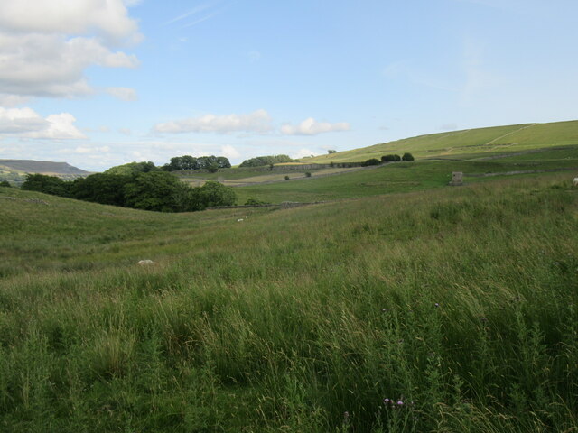
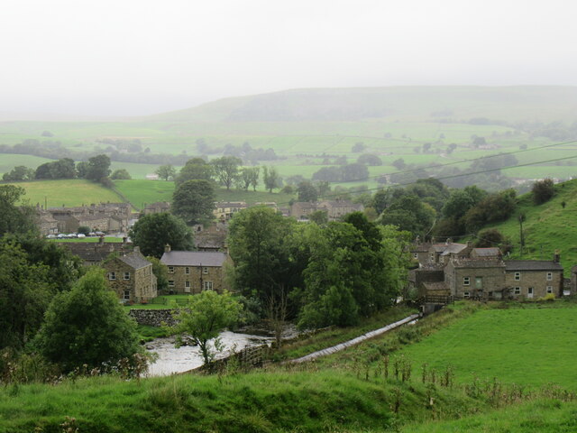
Cooper Wood, located in Yorkshire, England, is a picturesque forest known for its natural beauty and rich history. Spanning over 500 acres, this woodland area is a haven for nature enthusiasts and hikers alike.

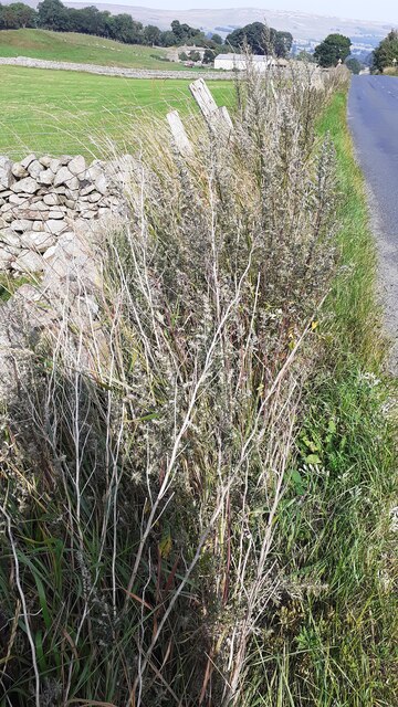
The forest is characterized by its diverse range of native trees, including oak, beech, and pine, which provide a habitat for numerous species of wildlife. Visitors can spot various bird species, such as woodpeckers and owls, as well as deer and foxes roaming freely through the dense vegetation.

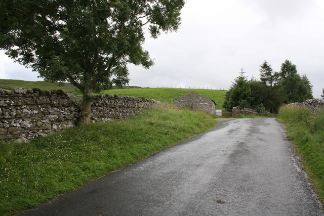
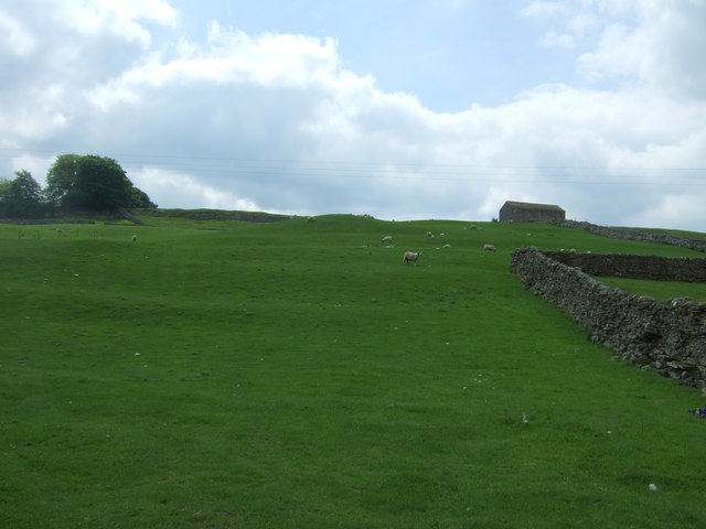
Cooper Wood offers a network of well-maintained trails, making it an ideal destination for outdoor activities. Hikers can explore the forest and enjoy the tranquility of the surroundings, while also appreciating the stunning views from the higher elevated paths. The forest is particularly popular during the autumn season, when the foliage transforms into a vibrant display of red, orange, and gold.

In addition to its natural beauty, Cooper Wood holds historical significance. It is believed to have been used as a source of timber for construction during the medieval period. The forest also played a role in the local economy, with woodworkers and craftsmen using the timber for various purposes.

Today, Cooper Wood is managed and protected by local authorities, ensuring its preservation for future generations to enjoy. The forest offers a peaceful retreat from the hustle and bustle of modern life, allowing visitors to reconnect with nature and immerse themselves in the beauty of Yorkshire's countryside.

If you have any feedback on the listing, please let us know in the comments section below.
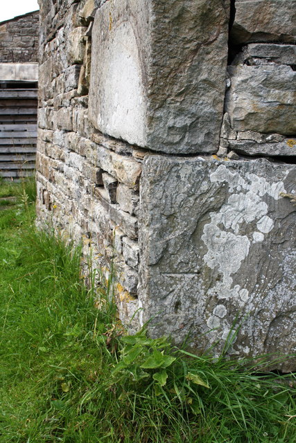
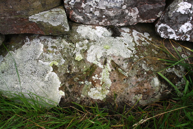
Cooper Wood Images

Images are sourced within 2km of 54.320172/-2.1133293 or Grid Reference SD9291. Thanks to Geograph Open Source API. All images are credited.

Junction of dry stone walls on NW side of A684 at Butter Hill Ordnance Survey records indicate that a benchmark was levelled at 228.910m above Newlyn Datum in 1971 on a bolt set in a concrete block buried at the wall junction
Junction of dry stone walls on NW side of A684 at Butter Hill
Ordnance Survey records indicate that a benchmark was levelled at 228.910m above Newlyn Datum in 1971 on a bolt set in a concrete block buried at the wall junction
Near Bainbridge Looking east from Cam High Road.
Near Bainbridge
Looking east from Cam High Road.
Bainbridge Looking north to Bainbridge.
Bainbridge
Looking north to Bainbridge.
Barn on Cam High Road near Bainbridge There is an OS benchmark <a href="https://www.geograph.org.uk/photo/2708746">SD9389 : Benchmark on barn on Cam High Road</a> on the barn.
Barn on Cam High Road near Bainbridge
There is an OS benchmark SD9389 : Benchmark on barn on Cam High Road on the barn.
Benchmark on barn on Cam High Road Ordnance Survey cut mark described on the Bench Mark Database at <span class="nowrap"><a title="http://www.bench-marks.org.uk/bm39074" rel="nofollow ugc noopener" href="http://www.bench-marks.org.uk/bm39074">Link</a><img style="margin-left:2px;" alt="External link" title="External link - shift click to open in new window" src="https://s1.geograph.org.uk/img/external.png" width="10" height="10"/></span>
Benchmark on barn on Cam High Road
Ordnance Survey cut mark described on the Bench Mark Database at LinkExternal link
Benchmark on stone of Carpley Green Road Ordnance Survey pivot benchmark described on the Bench Mark Database at <span class="nowrap"><a title="http://www.bench-marks.org.uk/bm39075" rel="nofollow ugc noopener" href="http://www.bench-marks.org.uk/bm39075">Link</a><img style="margin-left:2px;" alt="External link" title="External link - shift click to open in new window" src="https://s1.geograph.org.uk/img/external.png" width="10" height="10"/></span>
Benchmark on stone of Carpley Green Road
Ordnance Survey pivot benchmark described on the Bench Mark Database at LinkExternal link
Carpley Green Road south from Bainbridge There is an OS benchmark <a href="https://www.geograph.org.uk/photo/2719675">SD9389 : Benchmark on stone of Carpley Green Road</a> on the wall on the left side of the road
Carpley Green Road south from Bainbridge
There is an OS benchmark SD9389 : Benchmark on stone of Carpley Green Road on the wall on the left side of the road
Benchmark on A684 gatepost Ordnance Survey cut mark described on the Bench Mark Database at <span class="nowrap"><a title="http://www.bench-marks.org.uk/bm27871" rel="nofollow ugc noopener" href="http://www.bench-marks.org.uk/bm27871">Link</a><img style="margin-left:2px;" alt="External link" title="External link - shift click to open in new window" src="https://s1.geograph.org.uk/img/external.png" width="10" height="10"/></span>
Benchmark on A684 gatepost
Ordnance Survey cut mark described on the Bench Mark Database at LinkExternal link
Gateway beside A684 There is an OS benchmark <a href="https://www.geograph.org.uk/photo/2722279">SD9389 : Benchmark on A684 gatepost</a> at ground level on the right hand gatepost
Gateway beside A684
There is an OS benchmark SD9389 : Benchmark on A684 gatepost at ground level on the right hand gatepost
Chickens in the bath I think they were drinking rainwater which has collected in the bath.
Chickens in the bath
I think they were drinking rainwater which has collected in the bath.
Entering Bainbridge
Entering Bainbridge
The River Bain The Bain cascades through Bainbridge on its short but boisterous journey from Semer Water to the River Ure.
The River Bain
The Bain cascades through Bainbridge on its short but boisterous journey from Semer Water to the River Ure.
Footpath Towards Brough Scar
Stone Barn beside Goodman Sike
River Bain at Bainbridge
Hillside grazing near Bainbridge Looking south from the A684.
Hillside grazing near Bainbridge
Looking south from the A684.
Bungalow on the A684, Bainbridge
The Bain at Bainbridge The Bain is well known for being England's shortest river at a little over 2 miles in length. The view here is across the Bain to the 'back' of Bainbridge village.
The Bain at Bainbridge
The Bain is well known for being England's shortest river at a little over 2 miles in length. The view here is across the Bain to the 'back' of Bainbridge village.
Show me another place!

Cooper Wood is located at Grid Ref: SD9291 (Lat: 54.320172, Lng: -2.1133293)

Division: North Riding

Administrative County: North Yorkshire

District: Richmondshire

Police Authority: North Yorkshire

What 3 Words

///forge.coveted.brew. Near Leyburn, North Yorkshire

Related Wikis

Fors Abbey

Fors Abbey was an abbey in Low Abbotside, Askrigg, North Yorkshire, England.It was built in 1145 for the Savigniac order and converted to the Cistercian...

River Bain, North Yorkshire

The River Bain is a river in North Yorkshire, England. As a tributary of the River Ure, it is one of the shortest, named rivers in England. The river...

Bainbridge, North Yorkshire

Bainbridge is a village and civil parish in North Yorkshire, England. The population of the civil parish at the 2011 census was 480. The village is situated...

Low Abbotside

Low Abbotside is a civil parish in the Richmondshire district of North Yorkshire, England. It is a rural parish on the north side of Wensleydale. There...

Askrigg railway station

Askrigg railway station is a disused railway station in North Yorkshire, England and served the village of Askrigg. It was part of the Wensleydale Railway...

River Bain Hydro

The River Bain Hydro is a hydroelectric generator on the River Bain in the village of Bainbridge, North Yorkshire, England. Its screw turbine powers most...

Virosidum

Virosidum was a Roman fort and settlement situated near to the modern town of Bainbridge, North Yorkshire, England. The site is a Scheduled monument....

St Oswald's Church, Askrigg

St Oswald's Church is a Grade I listed parish church in the Church of England in Askrigg, North Yorkshire. == History == The church dates largely from...

Nearby Amenities

Located within 500m of 54.320172,-2.1133293
Barrier: stile
Material: stone
Source: survey;gps
Stile: squeezer
Lat/Long: 54.3172356/-2.1187853
Helm Green Lime Kiln
Board Type: history
Information: board
Tourism: information
Lat/Long: 54.3186108/-2.1085839
Barrier: stile
Material: stone
Source: survey;gps
Stile: squeezer
Lat/Long: 54.3185508/-2.1198671
Ford: yes
Lat/Long: 54.3181238/-2.1192744
Power: pole
Lat/Long: 54.3193683/-2.1057862
Power: pole
Lat/Long: 54.3177678/-2.1190242
Power: pole
Lat/Long: 54.3182649/-2.1185609
Power: pole
Lat/Long: 54.3184257/-2.118984
Power: pole
Lat/Long: 54.3186334/-2.1195372
Power: pole
Lat/Long: 54.3184022/-2.118815
Power: pole
Lat/Long: 54.3182786/-2.117942
Power: pole
Lat/Long: 54.3182575/-2.1170354
Power: pole
Lat/Long: 54.3187945/-2.1145832
Power: pole
Lat/Long: 54.318965/-2.1138509
Power: pole
Lat/Long: 54.3190425/-2.1130161
Power: pole
Lat/Long: 54.3189924/-2.1122979
Power: pole
Lat/Long: 54.3189999/-2.1113846
Power: pole
Lat/Long: 54.3189897/-2.1104814
Power: pole
Lat/Long: 54.3190327/-2.1095882
Power: pole
Lat/Long: 54.3189756/-2.1085328
Power: pole
Lat/Long: 54.3188207/-2.1062462
Power: pole
Lat/Long: 54.3188098/-2.1206671
Power: pole
Lat/Long: 54.3189107/-2.1195198
Power: pole
Lat/Long: 54.3188489/-2.1201172
The data included in this document is from www.openstreetmap.org. The data is made available under ODbL.

Have you been to Cooper Wood?

Leave your review of Cooper Wood below (or comments, questions and feedback).