Annie's Plantation

Wood, Forest in Northumberland

England

Annie's Plantation

Bull and cow Set against the unlikely backdrop of Close House Residential Care Home.
Bull and cow Credit: Oliver Dixon

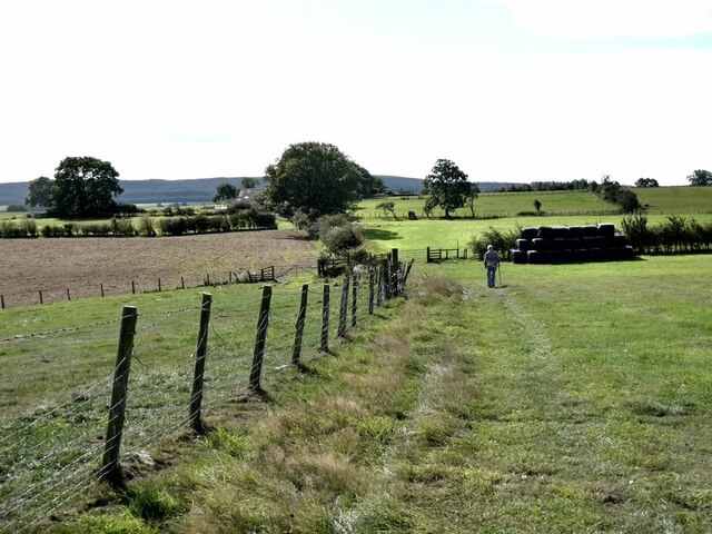
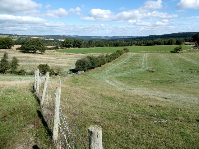
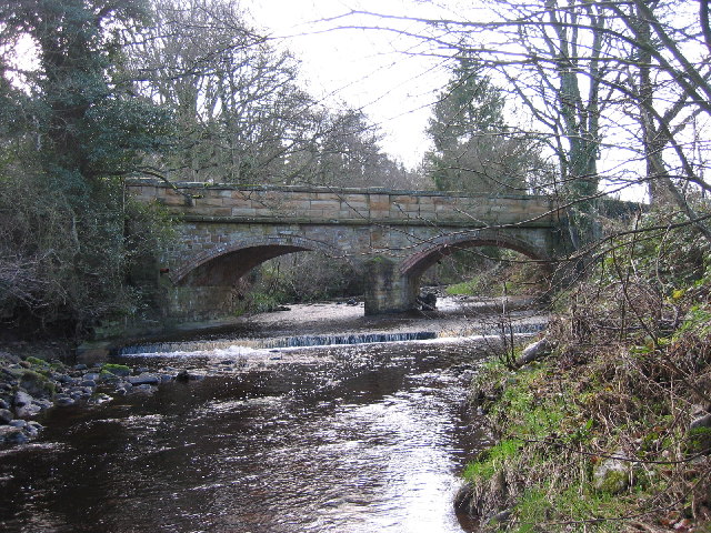
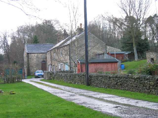
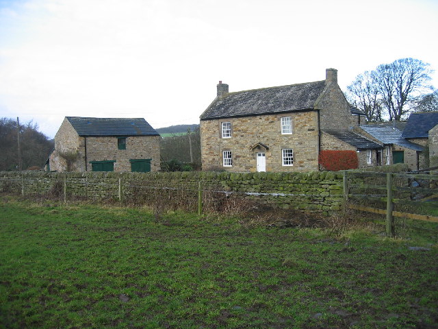
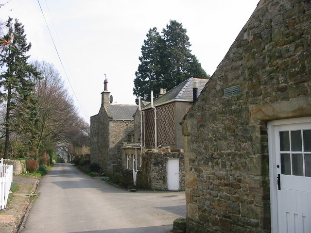
Annie's Plantation is a stunning woodland located in the picturesque county of Northumberland, England. This enchanting plantation covers a vast area of lush greenery, offering visitors a tranquil escape from the hustle and bustle of everyday life.

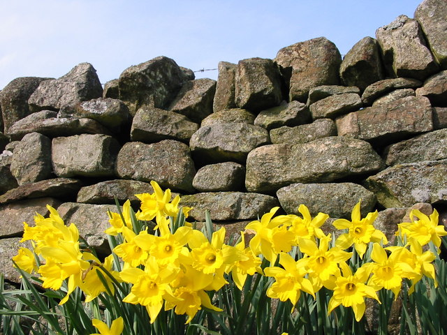
The plantation is renowned for its diverse range of trees, creating a rich and vibrant forest ecosystem. Towering oak, beech, and birch trees dominate the landscape, their branches intertwining to form a natural canopy overhead. The forest floor is adorned with a colorful carpet of wildflowers and ferns, adding to the plantation's ethereal charm.

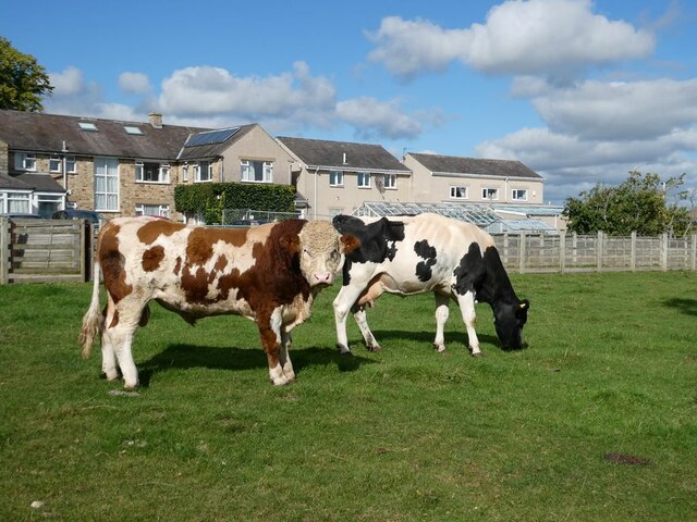
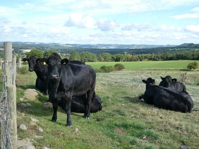
Annie's Plantation is also home to a variety of wildlife species. Deer can often be spotted gracefully roaming through the woodland, while squirrels dart between the trees. Birdwatchers will be delighted by the presence of numerous species, including woodpeckers, owls, and songbirds.

The plantation offers visitors a range of activities to enjoy. Nature enthusiasts can explore the numerous walking trails that wind their way through the woodland, providing an opportunity to immerse themselves in the beauty of the surroundings. Picnic areas are scattered throughout the plantation, allowing visitors to relax and savor the peaceful atmosphere.

Annie's Plantation is not only a haven for nature lovers but also a place of historical significance. The plantation has a rich past, dating back to the Victorian era when it was originally established as a private estate. Today, it stands as a testament to the region's natural beauty and serves as a cherished community space for locals and tourists alike.

Overall, Annie's Plantation is a captivating woodland destination that offers a perfect blend of natural beauty, wildlife, and history. Whether seeking solitude, adventure, or a place for quiet contemplation, this Northumberland gem has something to offer everyone.

If you have any feedback on the listing, please let us know in the comments section below.

Annie's Plantation Images

Images are sourced within 2km of 54.934952/-2.1151489 or Grid Reference NY9260. Thanks to Geograph Open Source API. All images are credited.

Bull and cow Set against the unlikely backdrop of Close House Residential Care Home.
Bull and cow
Set against the unlikely backdrop of Close House Residential Care Home.
Tamworth Reds I never knew that pigs could set up quite the cacophonous racket that these two (together with a couple of others) did when they saw us and presumably thought that food  was on the way!
Tamworth Reds
I never knew that pigs could set up quite the cacophonous racket that these two (together with a couple of others) did when they saw us and presumably thought that food was on the way!
Old pump Outside Lee Nook Farm.
Old pump
Outside Lee Nook Farm.
Heffers and steers Beside the path to Lee. Tynedale in the distance.
Heffers and steers
Beside the path to Lee. Tynedale in the distance.
The path to Lee
The path to Lee
Fields beside the path from Lee to Newbigin House Farm
Field in front of Myra's Wood Myra's Wood is a long narrow shelter belt of conifers. The mast <a href="https://www.geograph.org.uk/gridref/NY9059">NY9059</a> on the edge of the wood is probably a mobile phone mast.
Field in front of Myra's Wood
Myra's Wood is a long narrow shelter belt of conifers. The mast NY9059 on the edge of the wood is probably a mobile phone mast.
Eastern end of Myra's Wood A long narrow shelterbelt of coniferous trees. Some have been toppled at this end - possibly by Storm Arwen on 8th December 2021.
Eastern end of Myra's Wood
A long narrow shelterbelt of coniferous trees. Some have been toppled at this end - possibly by Storm Arwen on 8th December 2021.
Windthrow at the eastern end of Myra's Wood Possibly damaged by Storm Arwen on 8th December 2021.
Windthrow at the eastern end of Myra's Wood
Possibly damaged by Storm Arwen on 8th December 2021.
Same location, new feeder, new sheep Compare with <a href="https://www.geograph.org.uk/photo/1135815">NY9159 : Sheep and feeder near High Ardley</a> from thirteen years ago.
Same location, new feeder, new sheep
Compare with NY9159 : Sheep and feeder near High Ardley from thirteen years ago.
Old Milestone by UC road, Ordley The Milestone is located on grass verge on the East side of the road.  Parish of Hexhamshire (Tynedale District). Metal post with attached metal plate, Smith Patterson iron shield design, erected by the Hexham turnpike trust in the 19th Century. Half of shield missing. An earlier photograph can be found here: <a title="https://www.geograph.org.uk/photo/6055942" href="https://www.geograph.org.uk/photo/6055942">Link</a> 

Inscription reads:-  
WHITLEY / CHAPEL / (2½) {arrow} / (HEXHAM) / (3) / ({arrow}) SMITH PATTERSON / BLAYDON /

Grade II listed. 
List Entry Number: 1045329 <span class="nowrap"><a title="https://historicengland.org.uk/listing/the-list/list-entry/1045329" rel="nofollow ugc noopener" href="https://historicengland.org.uk/listing/the-list/list-entry/1045329">Link</a><img style="margin-left:2px;" alt="External link" title="External link - shift click to open in new window" src="https://s1.geograph.org.uk/img/external.png" width="10" height="10"/></span> 

Milestone Society National ID: NB_HXWC03
Old Milestone by UC road, Ordley
The Milestone is located on grass verge on the East side of the road.  Parish of Hexhamshire (Tynedale District). Metal post with attached metal plate, Smith Patterson iron shield design, erected by the Hexham turnpike trust in the 19th Century. Half of shield missing. An earlier photograph can be found here: Link  Inscription reads:- WHITLEY / CHAPEL / (2½) {arrow} / (HEXHAM) / (3) / ({arrow}) SMITH PATTERSON / BLAYDON / Grade II listed. List Entry Number: 1045329 LinkExternal link Milestone Society National ID: NB_HXWC03
Ford at Whitley Mill Ford and footbridge over the Rowley Burn at Whitley Mill
Ford at Whitley Mill
Ford and footbridge over the Rowley Burn at Whitley Mill
Dye House Bridge
Dye House Bridge
Dye House Cottages and former Methodist chapel Dye House Methodist Chapel can be seen in the background.  The Chapel is dated 1865 and built in the Georgian style (Pevsner).  Cottages dated 1725 and are an early example of the two-storey three bay farmhouse type (Pevsner).
Dye House Cottages and former Methodist chapel
Dye House Methodist Chapel can be seen in the background. The Chapel is dated 1865 and built in the Georgian style (Pevsner). Cottages dated 1725 and are an early example of the two-storey three bay farmhouse type (Pevsner).
Mollersteads A late 18th century house, altered in the early 19th century. This is a Grade II Listed Building protected by law.
<span class="nowrap"><a title="http://www.keystothepast.info/durhamcc/K2P.nsf/K2PDetail?readform&PRN=N23658" rel="nofollow ugc noopener" href="http://www.keystothepast.info/durhamcc/K2P.nsf/K2PDetail?readform&PRN=N23658">Link</a><img style="margin-left:2px;" alt="External link" title="External link - shift click to open in new window" src="https://s1.geograph.org.uk/img/external.png" width="10" height="10"/></span>
Mollersteads
A late 18th century house, altered in the early 19th century. This is a Grade II Listed Building protected by law. LinkExternal link
Ford at Dye House, near Juniper
Daffodils at Mollersteads
Black Hall near Juniper Hexhamshire
Show me another place!

Annie's Plantation is located at Grid Ref: NY9260 (Lat: 54.934952, Lng: -2.1151489)

Unitary Authority: Northumberland

Police Authority: Northumbria

What 3 Words

///titles.ratty.slurred. Near Hexham, Northumberland

Nearby Locations

Annie's Plantation

Related Wikis

Juniper, Northumberland

Juniper is a hamlet in the English county of Northumberland. It is about 5 miles (8 km) due south of Hexham in the area known as Hexhamshire. There is...

Hexhamshire Low Quarter

Hexhamshire Low Quarter is a former civil parish, now in the parish of Hexhamshire, in Northumberland, England. It was situated to the south of Hexham...

Hexhamshire

Hexhamshire is a civil parish in Northern England. It was incorporated into Northumberland in 1572. == History == Hexhamshire was originally a single parish...

Rowley Burn (Northumberland)

Rowley Burn (also known as Rowley Brook and Ham Burn, NY 9358) is a stream in Northumberland, running around three miles south of Hexham before joining...
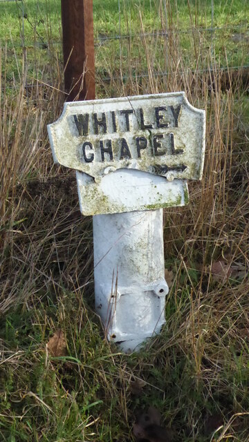
Whitley Chapel

Whitley Chapel is a village in Northumberland, England about 4 miles (6 km) south of Hexham, and in the parish of Hexhamshire. == Governance == Whitley...

St Joseph's Roman Catholic Middle School

St Joseph's Roman Catholic Middle School is one of the two middle schools in Hexham, Northumberland, England, the other being Hexham Middle School. The...

Dare Wilson Barracks

Dare Wilson Barracks, is a military installation in Hexham, Northumberland. The building is named after Major General Dare Wilson who was commissioned...

St Mary's Church, Hexham

St Mary's Church is a Roman Catholic Parish church in Hexham, Northumberland. It was built from 1828 to 1830 in the Gothic Revival style. It is located...

Have you been to Annie's Plantation?

Leave your review of Annie's Plantation below (or comments, questions and feedback).