Ashbeds Coppice

Wood, Forest in Worcestershire Wychavon

England

Ashbeds Coppice

Three Wells, timber framed house in Hadzor, Worcestershire
Three Wells, timber framed house in Hadzor, Worcestershire Credit: Jeff Gogarty

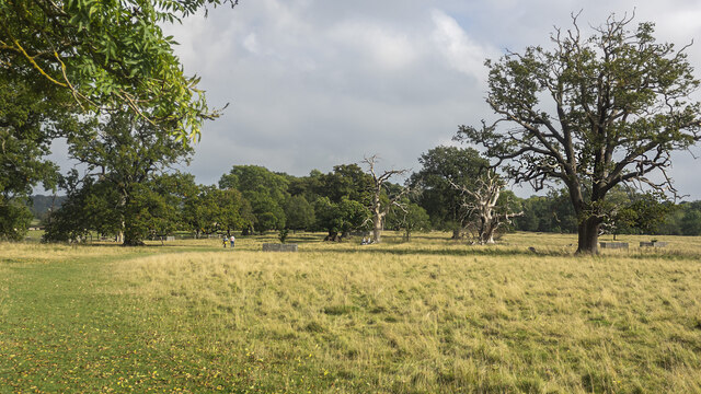
Ashbeds Coppice is a picturesque woodland located in Worcestershire, England. Situated on the outskirts of the village of Ashbeds, it covers an area of approximately 50 acres. The coppice is predominantly made up of ash trees, hence its name, but also features a diverse mix of other deciduous species including oak, birch, and beech.

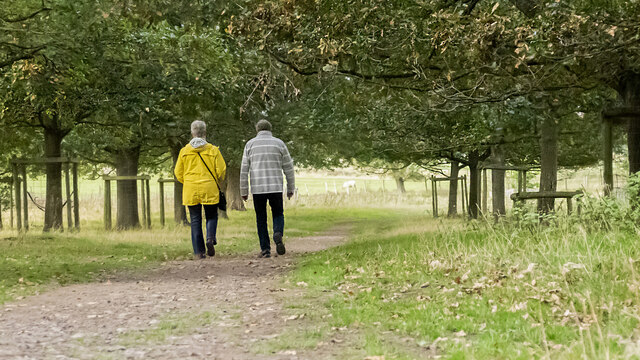
This woodland is known for its tranquil and serene atmosphere, making it a popular destination for nature enthusiasts and hikers. The dense canopy of trees provides shade and shelter, creating a cool and refreshing environment even during the summer months. The forest floor is covered in a thick carpet of moss, ferns, and wildflowers, adding to its natural beauty.

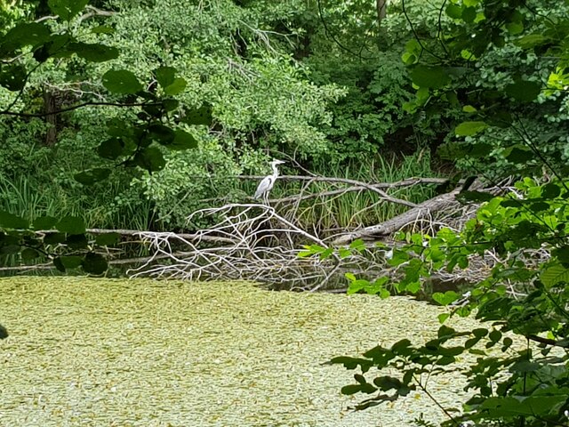
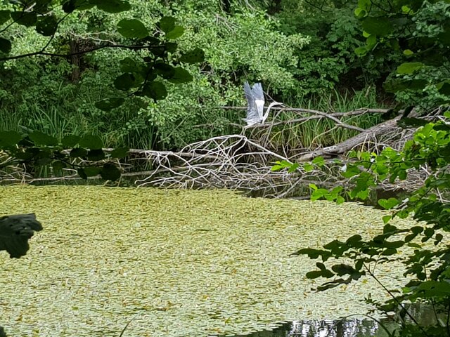
Ashbeds Coppice is not only visually appealing but also serves as an important habitat for a variety of wildlife. Birdwatchers can spot a wide range of avian species, including woodpeckers, owls, and songbirds. The woodland is also home to mammals such as foxes, badgers, and deer, making it an ideal spot for wildlife enthusiasts.

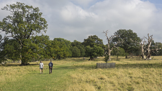
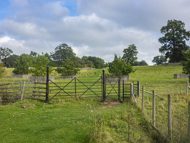
Visitors can explore the woodland through a network of well-maintained footpaths and trails, allowing them to fully immerse themselves in the natural surroundings. The coppice is well-equipped with picnic areas and benches, providing visitors with the opportunity to relax and enjoy the tranquil atmosphere.

Overall, Ashbeds Coppice is a stunning woodland that offers a peaceful retreat from the hustle and bustle of everyday life. Its diverse range of flora and fauna, coupled with its accessibility and beauty, make it a popular destination for both locals and visitors alike.

If you have any feedback on the listing, please let us know in the comments section below.

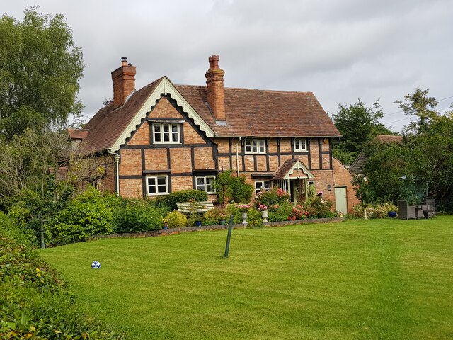
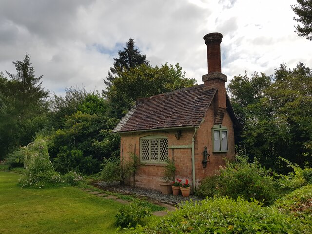
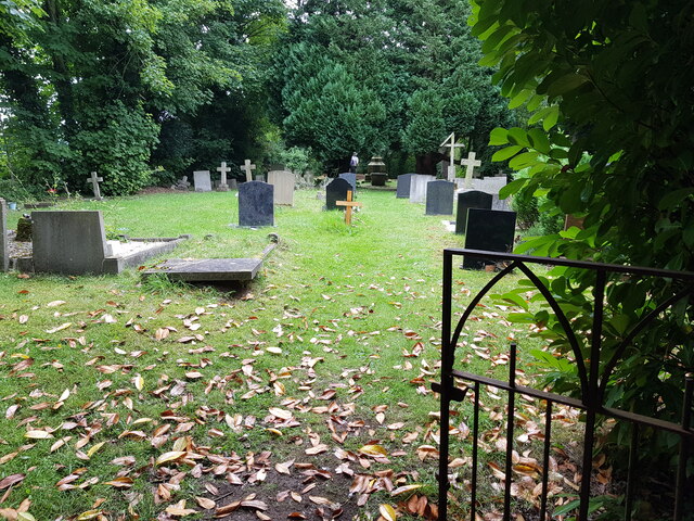
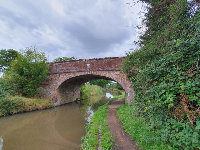
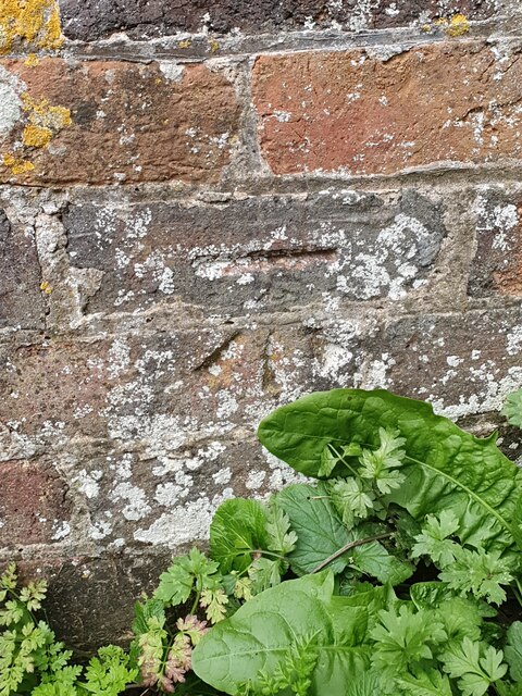
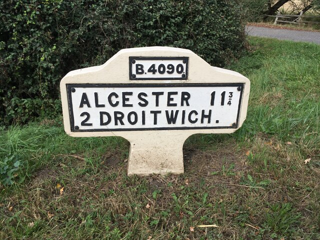
Ashbeds Coppice Images

Images are sourced within 2km of 52.271017/-2.1089573 or Grid Reference SO9263. Thanks to Geograph Open Source API. All images are credited.

Three Wells, timber framed house in Hadzor, Worcestershire
The Wash House Chapel In the garden of Three Wells, Hadzor.
The Wash House Chapel
In the garden of Three Wells, Hadzor.
Small cemetery at Hadzor
Heron at Swan Pool, Droitwich Spa
Heron taking flight at Swan Pool, Droitwich Spa
Narrow boat on the Droitwich Junction Canal The grating on the towpath is where water is taken from the canal and transferred via pipes under the towpath to where the canal begins again. This is because the re-builders of the canal did not want to pollute the River Salwarpe.
Narrow boat on the Droitwich Junction Canal
The grating on the towpath is where water is taken from the canal and transferred via pipes under the towpath to where the canal begins again. This is because the re-builders of the canal did not want to pollute the River Salwarpe.
Ordnance Survey Bench Mark This mark is located on railway bridge number 37 that spans the Worcester to Birmingham canal. These marks were used by Ordnance Survey for mapping purposes.
<a href="https://www.geograph.org.uk/photo/6961993">SO9263 : Bridge 37, Worcester to Birmingham canal</a>
Ordnance Survey Bench Mark
This mark is located on railway bridge number 37 that spans the Worcester to Birmingham canal. These marks were used by Ordnance Survey for mapping purposes. SO9263 : Bridge 37, Worcester to Birmingham canal
Bridge 37, Worcester to Birmingham canal This railway bridge spans the Worcester to Birmingham canal. This bridge also has an Ordnance Survey bench mark.
<a href="https://www.geograph.org.uk/photo/6961985">SO9263 : Ordnance Survey Bench Mark</a>
Bridge 37, Worcester to Birmingham canal
This railway bridge spans the Worcester to Birmingham canal. This bridge also has an Ordnance Survey bench mark. SO9263 : Ordnance Survey Bench Mark
Bridge 38 Worcester to Birmingham Canal This bridge spans the Worcester to Birmingham canal. The bridge also has an Ordnance Survey bench mark.
<a href="https://www.geograph.org.uk/photo/6962010">SO9363 : Ordnance Survey Bench Mark</a>
Bridge 38 Worcester to Birmingham Canal
This bridge spans the Worcester to Birmingham canal. The bridge also has an Ordnance Survey bench mark. SO9363 : Ordnance Survey Bench Mark
Ordnance Survey Bench Mark This mark is located on bridge number 38 which spans the Worcester to Birmingham canal. These marks were used by Ordnance Survey for mapping purposes.
<a href="https://www.geograph.org.uk/photo/6962006">SO9363 : Bridge 38 Worcester to Birmingham Canal</a>
Ordnance Survey Bench Mark
This mark is located on bridge number 38 which spans the Worcester to Birmingham canal. These marks were used by Ordnance Survey for mapping purposes. SO9363 : Bridge 38 Worcester to Birmingham Canal
Replacement Milestone, B4090, Salt Way, 20m West of Junction with Goosehill Lane The milestone is located on the verge by drive to farm on the north side of road. Parish of Hanbury (Wychavon District). Metal plate attached to concrete post, Bradley post design, erected by the County Council in the 21st century. Replacement milestone produced by the Milestone Society Worcestershire group in 2008.

Inscription reads:-
B4090 / ALCESTER 11¾ / 2 DROITWICH. / C.C.W.

Milestone Society National ID: WO_DWAC02R
Replacement Milestone, B4090, Salt Way, 20m West of Junction with Goosehill Lane
The milestone is located on the verge by drive to farm on the north side of road. Parish of Hanbury (Wychavon District). Metal plate attached to concrete post, Bradley post design, erected by the County Council in the 21st century. Replacement milestone produced by the Milestone Society Worcestershire group in 2008. Inscription reads:- B4090 / ALCESTER 11¾ / 2 DROITWICH. / C.C.W. Milestone Society National ID: WO_DWAC02R
NT Hanbury Hall View across the autumnal formal garden towards the South-west facade.
NT Hanbury Hall
View across the autumnal formal garden towards the South-west facade.
Still Life at Hanbury An autumnal display near the entrance to Hanbury Hall.
Still Life at Hanbury
An autumnal display near the entrance to Hanbury Hall.
Dahlia display Within the walled garden at Hanbury Hall.
Dahlia display
Within the walled garden at Hanbury Hall.
A walk in the park A fine autumn afternoon at NT Hanbury Hall.
A walk in the park
A fine autumn afternoon at NT Hanbury Hall.
Hanbury Hall parkland A fine walk around the park at NT Hanbury Hall.
Hanbury Hall parkland
A fine walk around the park at NT Hanbury Hall.
Hanbury Hall parkland There are several dead skeletal oaks within the estate.
Hanbury Hall parkland
There are several dead skeletal oaks within the estate.
Gate on the estate A fine piece of ironwork on a public path through the NT Hanbury Hall estate.
Gate on the estate
A fine piece of ironwork on a public path through the NT Hanbury Hall estate.
Show me another place!

Ashbeds Coppice is located at Grid Ref: SO9263 (Lat: 52.271017, Lng: -2.1089573)

Administrative County: Worcestershire

District: Wychavon

Police Authority: West Mercia

What 3 Words

///sprays.motorist.edits. Near Wychbold, Worcestershire

Nearby Locations

Ashbeds Coppice

Related Wikis

Droitwich Road railway station

Droitwich Road railway station served the town of Droitwich Spa, Worcestershire, England, from 1840 to 1855 on the Birmingham and Gloucester Railway....

Chateau Impney

Chateau Impney Hotel & Exhibition Centre is a Grade II* listed 19th-century house built in the style of an elaborate French château near Droitwich Spa...

Hanbury Hall

Hanbury Hall is a large 18th-century stately home standing in parkland at Hanbury, Worcestershire. The main range has two storeys and is built of red brick...

Dodderhill

Dodderhill is a civil parish, near Droitwich, Worcestershire, England, located on the River Salwarpe. The parish is bisected by the M5 motorway, constructed...

Nearby Amenities

Located within 500m of 52.271017,-2.1089573
Barrier: stile
Foot: yes
Lat/Long: 52.2685697/-2.1111437
Barrier: stile
Foot: yes
Lat/Long: 52.2685814/-2.1110496
Barrier: kissing_gate
Foot: yes
Lat/Long: 52.2691889/-2.1063681
Power: pole
Lat/Long: 52.2670309/-2.1113005
Power: pole
Lat/Long: 52.2676052/-2.112221
Location Transition: yes
Power: pole
Lat/Long: 52.2681549/-2.1131208
Power: pole
Lat/Long: 52.2699033/-2.1032329
Summerhill Farm
Power: pole
Transformer: distribution
Voltage Primary: 11000
Lat/Long: 52.2707023/-2.1024891
Power: pole
Lat/Long: 52.2703297/-2.1028432
Power: pole
Lat/Long: 52.2690593/-2.1036384
Power: pole
Lat/Long: 52.2681968/-2.1040528
Westfields Farm
Power: pole
Transformer: distribution
Voltage Primary: 11000
Lat/Long: 52.2698583/-2.1159035
The data included in this document is from www.openstreetmap.org. The data is made available under ODbL.

Have you been to Ashbeds Coppice?

Leave your review of Ashbeds Coppice below (or comments, questions and feedback).