Lodge Wood

Wood, Forest in Worcestershire Wychavon

England

Lodge Wood

Breach Farm Breach Farm viewed from the B4084
Breach Farm Credit: Philip Halling

Lodge Wood is a picturesque forest located in the county of Worcestershire, England. Covering an area of approximately 100 hectares, it is a popular destination for nature enthusiasts and outdoor lovers. The wood is situated near the village of Wood, offering visitors a tranquil and serene environment to explore.

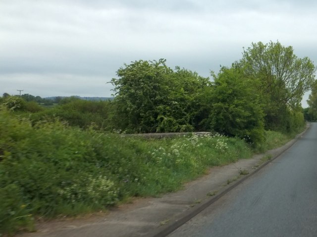
The forest is predominantly made up of deciduous trees, including oak, beech, and birch, creating a dense canopy that provides shade during the summer months. The woodland floor is covered in a rich carpet of bluebells, wild garlic, and ferns, adding to the beauty and diversity of the area.

Lodge Wood is home to a wide variety of wildlife, making it a haven for nature lovers. Visitors may catch a glimpse of deer, rabbits, and squirrels as they wander through the forest, while birdwatchers can spot a range of species, including woodpeckers, owls, and thrushes.

The wood is crisscrossed with well-maintained footpaths and trails, allowing visitors to explore the area at their own pace. A popular route is the Lodge Wood Circular Walk, which takes visitors on a scenic journey through the wood and its surroundings, offering breathtaking views of the surrounding countryside.

Lodge Wood also provides a range of recreational activities, including picnic areas and designated camping spots. It is a perfect place for families and friends to gather for a day out or a weekend camping trip, away from the hustle and bustle of city life.

Overall, Lodge Wood in Worcestershire is a beautiful and diverse forest, offering visitors a chance to immerse themselves in nature and enjoy the tranquility of the countryside.

If you have any feedback on the listing, please let us know in the comments section below.
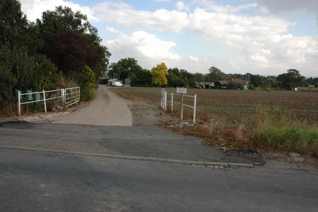
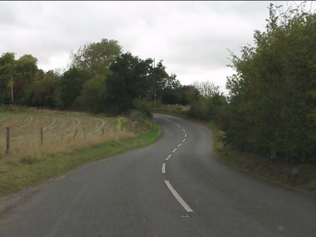
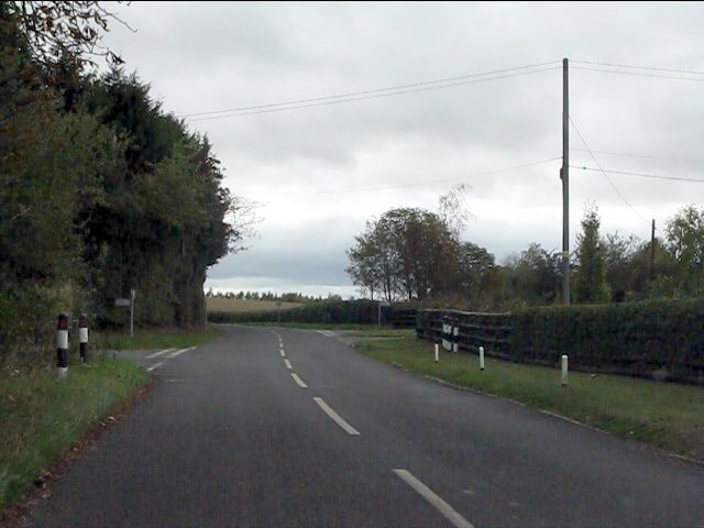
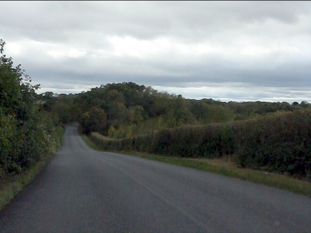
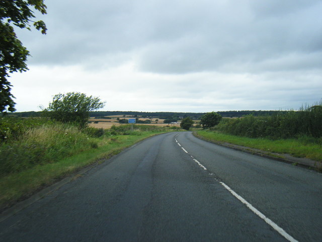
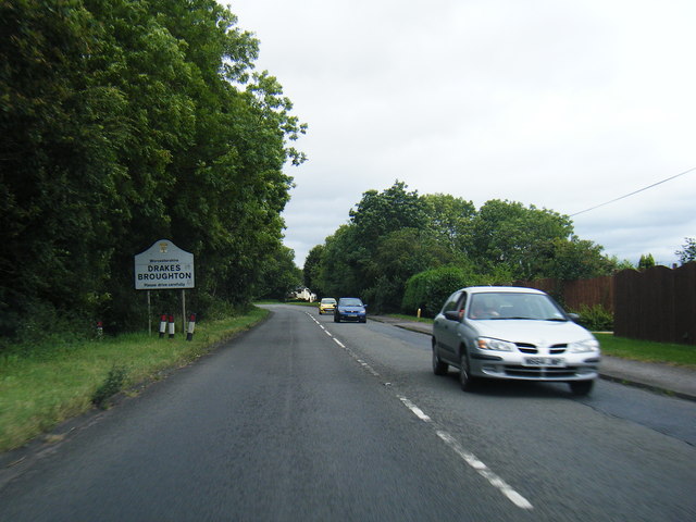
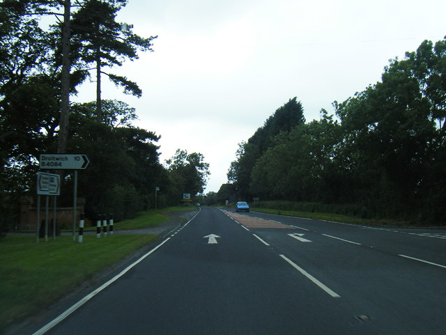
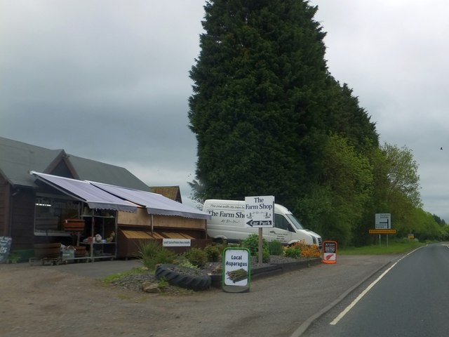
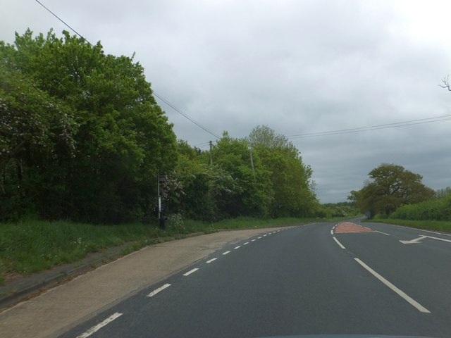
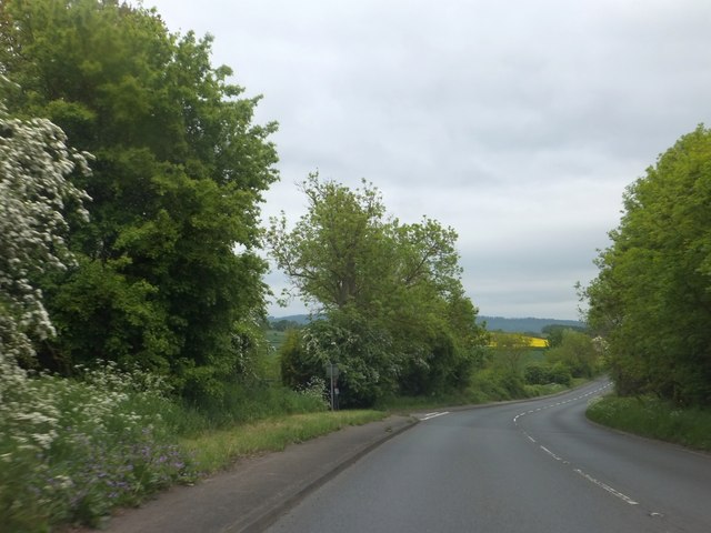
Lodge Wood Images

Images are sourced within 2km of 52.13173/-2.1086748 or Grid Reference SO9248. Thanks to Geograph Open Source API. All images are credited.

Breach Farm Breach Farm viewed from the B4084
Breach Farm
Breach Farm viewed from the B4084
Track to Beach Farm, Off Egdon Lane (B4084)
A44 west of Pinvin
A44 west of Pinvin
A44 between Stonebow and Pinvin
A44 approaching the junction for Peopleton
A44 crosses Bow Brook In the background is the junction for Drakes Broughton.
A44 crosses Bow Brook
In the background is the junction for Drakes Broughton.
Winding lane west of Besford Bridge
Ramsden crossroads
Ramsden crossroads
View from the summit west of Ramsden
B4084 at Allesborough Hill
B4084 at Drakes Broughton boundary
B4084 south of Windmill Hill
Farm shop on B4084 at Windmill Hill
Bus stop on B4084 at Windmill Hill The road is marked for the turning to the village of Windmill Hill, a short distance north of the main road to Pershore.  This stop serves the village.
Bus stop on B4084 at Windmill Hill
The road is marked for the turning to the village of Windmill Hill, a short distance north of the main road to Pershore. This stop serves the village.
Garage on B4084 at Drake's Broughton
B4084 descending to Ufnell Bridge The turning on the left is for a minor road to the southern edge of Drake's Broughton.  Bredon Hill is on the horizon
B4084 descending to Ufnell Bridge
The turning on the left is for a minor road to the southern edge of Drake's Broughton. Bredon Hill is on the horizon
Ufnell Bridge The parapet beside the B4084 is almost hidden by the wild flowers
Ufnell Bridge
The parapet beside the B4084 is almost hidden by the wild flowers
B4084 passing semi-detached houses near Ufnell Bridge Presumably these houses were built for farm workers, away from local villages and convenient for the farms
B4084 passing semi-detached houses near Ufnell Bridge
Presumably these houses were built for farm workers, away from local villages and convenient for the farms
Show me another place!

Lodge Wood is located at Grid Ref: SO9248 (Lat: 52.13173, Lng: -2.1086748)

Administrative County: Worcestershire

District: Wychavon

Police Authority: West Mercia

What 3 Words

///showcases.directs.sprouts. Near Pershore, Worcestershire

Related Wikis

Drakes Broughton

Drakes Broughton is a village in Worcestershire, England. The village is located on the B4084 road (previously the A44) 2 miles north-west of Pershore...

Stoulton railway station

Stoulton railway station was a station to the northwest of Drakes Broughton, Worcestershire, England. The station was opened in 1899 and closed in 1966...

Ramsden, Worcestershire

Ramsden is a hamlet in the English county of Worcestershire. Ramsden is located due west of the town of Pershore. It lies on the Regional Cycle Route 46...

Wadborough

Wadborough is a small village 2 miles outside Pershore and 7 miles from Worcester. The village is in Worcestershire, England. The village is an old farming...

Nearby Amenities

Located within 500m of 52.13173,-2.1086748
Bus Stop
Drakes Broughton
Bus: yes
Naptan AtcoCode: 2000G002600
Naptan Bearing: SE
Naptan CommonName: Drakes Broughton
Naptan Indicator: Adj
Naptan Landmark: Shelter
Naptan NaptanCode: wocdagat
Naptan Street: Main Road (B4084) Bus Lay By
Public Transport: platform
Shelter: yes
Source: naptan_import
Lat/Long: 52.1326691/-2.1072869
Bus Stop
Drakes Broughton
Bus: yes
Naptan AtcoCode: 2000G002601
Naptan Bearing: NW
Naptan CommonName: Drakes Broughton
Naptan Indicator: adj
Naptan Landmark: Wooden Shelter
Naptan NaptanCode: wocdagaw
Naptan Street: Main Road (B4084)
Public Transport: platform
Shelter: yes
Source: naptan_import
Lat/Long: 52.1331631/-2.1085449
Stonebow Road
Naptan AtcoCode: 2000G087001
Naptan Bearing: N
Naptan BusStopType: CUS
Naptan CommonName: Stonebow Road
Naptan Indicator: Northbound
Naptan NaptanCode: wocdjtag
Naptan Street: Stonebow Road
Naptan Verified: no
Source: naptan_import
Lat/Long: 52.1361905/-2.108179
Stonebow Road
Naptan AtcoCode: 2000G087991
Naptan Bearing: S
Naptan BusStopType: CUS
Naptan CommonName: Stonebow Road
Naptan Indicator: Southbound
Naptan NaptanCode: wocgpgda
Naptan Street: Stonebow Road
Naptan Verified: no
Source: naptan_import
Lat/Long: 52.1360737/-2.1080473
Bus Stop
Walcot Lane
Bus: yes
Naptan AtcoCode: 2000G502777
Naptan Bearing: E
Naptan CommonName: Walcot Lane
Naptan Indicator: opp
Naptan Landmark: Church
Naptan NaptanCode: wocgdmtg
Naptan Notes: Both Sides of Road sticker on opposite flag
Naptan Street: Walcot Lane
Naptan Verified: no
Public Transport: platform
Source: naptan_import
Lat/Long: 52.1347521/-2.1080294
Bus Stop
Church
Bus: yes
Naptan AtcoCode: 2000G592777
Naptan Bearing: W
Naptan CommonName: Church
Naptan Indicator: adj
Naptan Landmark: Church
Naptan NaptanCode: wocgpgag
Naptan Notes: Flag has Both Sides of Road sticker
Naptan Street: Walcot Lane
Naptan Verified: no
Public Transport: platform
Source: naptan_import
Lat/Long: 52.1346724/-2.1079469
Bus Stop
St. Barnabas First & Middle School
Bus: yes
Naptan AtcoCode: 2000G676002
Naptan Bearing: N
Naptan CommonName: St. Barnabas First & Middle School
Naptan Indicator: Adj
Naptan Landmark: First & Middle Sch
Naptan NaptanCode: wocgadtj
Naptan Street: Stonebow Road
Naptan Verified: no
Public Transport: platform
Source: naptan_import
Lat/Long: 52.1344286/-2.1087997
Motorcycle Shop
Naptan AtcoCode: 2000G676008
Naptan Bearing: SE
Naptan BusStopType: CUS
Naptan CommonName: Motorcycle Shop
Naptan Indicator: Adj
Naptan NaptanCode: wocdgwaw
Naptan Street: Worcester Road
Naptan Verified: no
Source: naptan_import
Lat/Long: 52.1340037/-2.110336
Post Box
Collection Plate: CP7
Collection Times: Mo-Fr 17:00; Sa 07:30
Historic Operator: Post Office
Post Box Type: lamp
Ref: WR10 331
Royal Cypher: EIIR
Royal Cypher Wikidata: Q33102113
Lat/Long: 52.135495/-2.1082121
Drakes Broughton
Is In: Worcestershire
Place: village
Wikidata: Q5305655
Lat/Long: 52.1354815/-2.1071136
Power: pole
Source: bing
Lat/Long: 52.1290392/-2.1037115
Power: pole
Source: bing
Lat/Long: 52.129986/-2.103961
Power: pole
Source: bing
Lat/Long: 52.1307566/-2.1041675
Power: pole
Source: bing
Lat/Long: 52.131416/-2.1046933
Power: pole
Source: bing
Lat/Long: 52.1319914/-2.1051251
Power: pole
Source: bing
Lat/Long: 52.1324212/-2.1054308
Power: pole
Source: bing
Lat/Long: 52.1331275/-2.1059351
Bus Stop
Brickyard Lane
Bus: yes
Naptan AtcoCode: 2000G502774
Naptan CommonName: Brickyard Lane
Naptan Indicator: Opp
Naptan NaptanCode: wocgpgpm
Naptan Verified: no
Public Transport: platform
Route Ref: 551
Shelter: no
Source: survey
Lat/Long: 52.1344207/-2.1039247
Barrier: cycle_barrier
Source: survey
Lat/Long: 52.1344569/-2.1038724
Public Transport: stop_position
Lat/Long: 52.1361202/-2.1081348
Man Made: street_cabinet
Source: survey
Street Cabinet: telecom
Lat/Long: 52.1348747/-2.1082927
Man Made: street_cabinet
Source: survey
Street Cabinet: telecom
Lat/Long: 52.1349118/-2.1082847
Generator Method: photovoltaic
Generator Output Electricity: yes
Generator Source: solar
Generator Type: solar_photovoltaic_panel
Location: roof
Power: generator
Lat/Long: 52.135788/-2.1084791
Generator Method: photovoltaic
Generator Output Electricity: yes
Generator Source: solar
Generator Type: solar_photovoltaic_panel
Location: roof
Power: generator
Lat/Long: 52.1350669/-2.1048823
Generator Method: photovoltaic
Generator Output Electricity: yes
Generator Source: solar
Generator Type: solar_photovoltaic_panel
Location: roof
Power: generator
Lat/Long: 52.135141/-2.1055126
Power: pole
Lat/Long: 52.1311252/-2.1026441
Worcester Road Drakes Broughton
Power: pole
Transformer: distribution
Voltage Primary: 11000
Lat/Long: 52.1304846/-2.1052477
Drakes Broughton Church
Power: pole
Transformer: distribution
Voltage Primary: 11000
Lat/Long: 52.1337449/-2.1080722
Power: pole
Lat/Long: 52.1334171/-2.106945
Drakes Broughton School
Power: pole
Transformer: distribution
Voltage Primary: 11000
Lat/Long: 52.1352057/-2.1090666
Power: pole
Lat/Long: 52.1356716/-2.1092311
Power: pole
Lat/Long: 52.1360233/-2.1095154
Power: pole
Lat/Long: 52.1343417/-2.1145537
Power: pole
Lat/Long: 52.1331139/-2.1150928
Power: pole
Lat/Long: 52.1336214/-2.1147783
Power: pole
Lat/Long: 52.1326212/-2.1154046
The data included in this document is from www.openstreetmap.org. The data is made available under ODbL.

Have you been to Lodge Wood?

Leave your review of Lodge Wood below (or comments, questions and feedback).