Drakes Broughton
Settlement in Worcestershire Wychavon
England
Drakes Broughton
Drakes Broughton is a small village located in the county of Worcestershire, England. Situated approximately seven miles southeast of the city of Worcester, it falls within the Wychavon district. With a population of around 1,000 residents, the village maintains a close-knit and friendly community atmosphere.
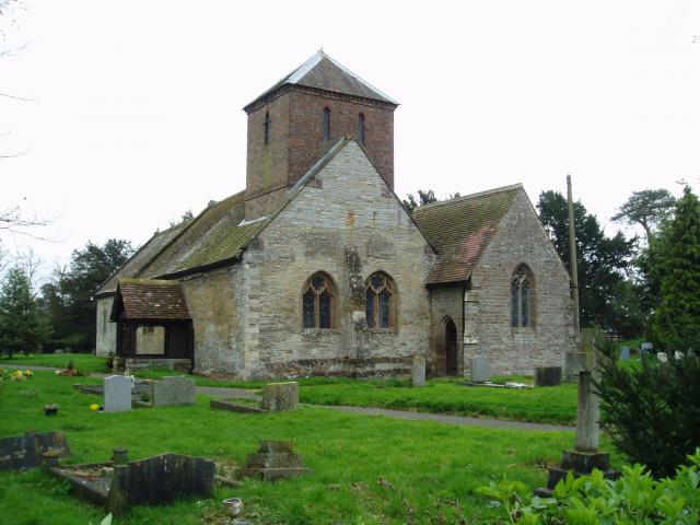
The village boasts a rich history, with evidence of settlement dating back to the medieval period. One of the notable landmarks is St. Barnabas Church, a charming 12th-century structure that serves as the spiritual center of the community. The church's architectural features, including its Norman tower and stained glass windows, make it a popular attraction for visitors.
Drakes Broughton offers a range of amenities to cater to the needs of its residents. These include a primary school, a village hall, and a local convenience store, ensuring that essential services are easily accessible. The village also benefits from a recreational ground, providing a space for outdoor activities and community events.
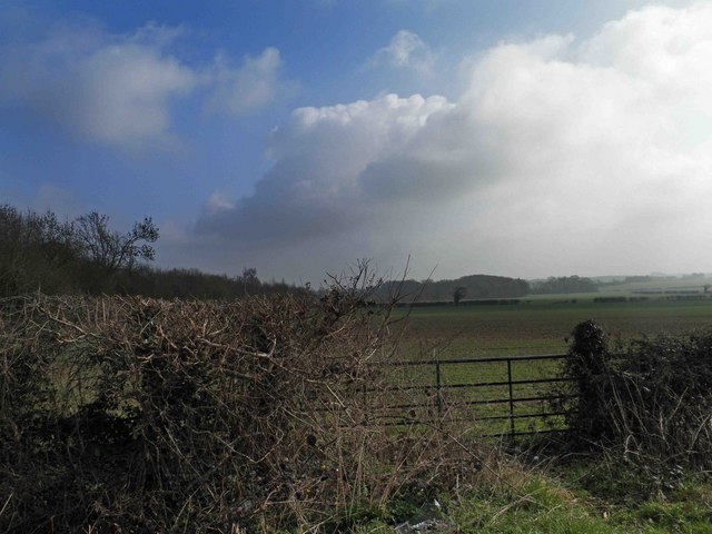
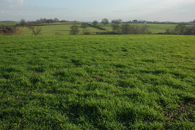
Surrounded by picturesque countryside, Drakes Broughton offers ample opportunities for outdoor pursuits. The nearby River Avon provides options for fishing and boating enthusiasts, while the surrounding fields and woodlands are ideal for walking, cycling, and exploring nature. The village's close proximity to Worcester allows residents to access a wider range of amenities, including shopping centers, leisure facilities, and cultural attractions.
Overall, Drakes Broughton is a charming and idyllic village that combines historical charm with modern conveniences. Its strong sense of community, beautiful surroundings, and convenient location make it an attractive place to live and visit.
If you have any feedback on the listing, please let us know in the comments section below.
Drakes Broughton Images
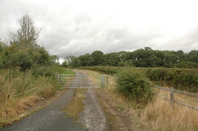
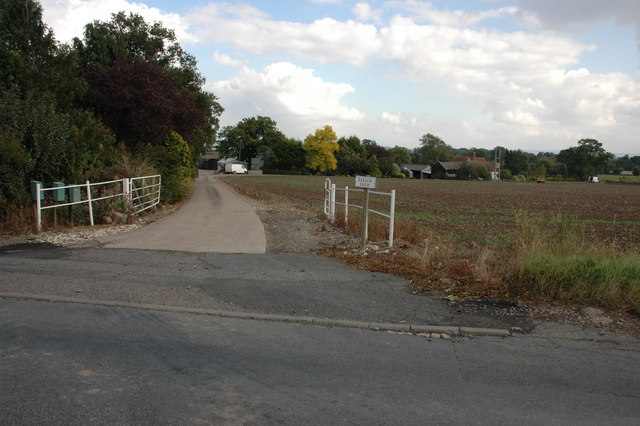
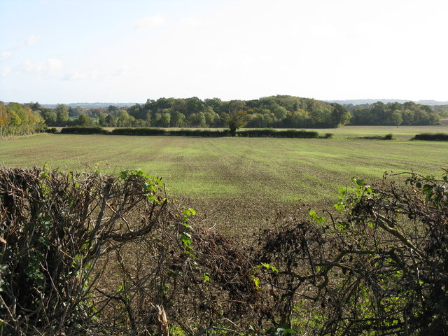
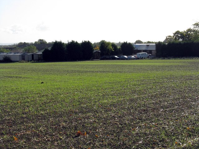
Images are sourced within 2km of 52.137409/-2.111013 or Grid Reference SO9248. Thanks to Geograph Open Source API. All images are credited.


Drakes Broughton is located at Grid Ref: SO9248 (Lat: 52.137409, Lng: -2.111013)
Administrative County: Worcestershire
District: Wychavon
Police Authority: West Mercia
What 3 Words
///design.tramps.decorator. Near Pershore, Worcestershire
Nearby Locations
Related Wikis

Drakes Broughton
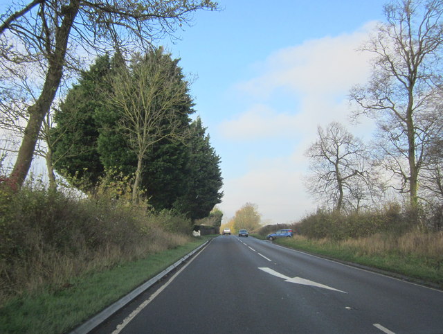
Drakes Broughton is a village in Worcestershire, England. The village is located on the B4084 road (previously the A44) 2 miles north-west of Pershore...

Stoulton railway station
Stoulton railway station was a station to the northwest of Drakes Broughton, Worcestershire, England. The station was opened in 1899 and closed in 1966...
Hawbridge
Hawbridge is a village in Worcestershire, England. == References ==
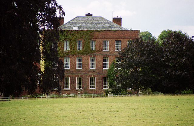
Bowbrook House School
Bowbrook House School is a mixed independent school for around 200 pupils aged 3 to 16 with around 30 teaching staff. It is located in a Georgian mansion...
Nearby Amenities
Located within 500m of 52.137409,-2.111013Have you been to Drakes Broughton?
Leave your review of Drakes Broughton below (or comments, questions and feedback).