Baydons Wood
Wood, Forest in Wiltshire
England
Baydons Wood
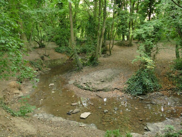
Baydons Wood is a picturesque forest located in Wiltshire, England. Spread across an area of approximately 250 acres, it sits on the edge of the Marlborough Downs, providing a stunning natural landscape for visitors to enjoy.
This ancient woodland is known for its diverse range of flora and fauna. The forest floor is carpeted with bluebells and wild garlic in the spring, creating a vibrant burst of color. As visitors explore the wood, they may come across a variety of tree species, including oak, beech, ash, and hazel. These towering trees provide a canopy of shade, perfect for peaceful walks or nature photography.
Baydons Wood is also home to a rich array of wildlife. Birdwatchers can spot a variety of woodland birds, such as woodpeckers, nuthatches, and treecreepers. The forest is also inhabited by mammals like deer, foxes, and badgers, making it an ideal location for wildlife enthusiasts.
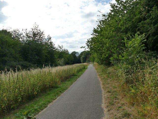
Visitors can explore the wood via a network of well-marked footpaths and trails, allowing them to delve into the heart of the forest. The tranquil atmosphere and the soothing sounds of nature make Baydons Wood a popular destination for those seeking relaxation and a break from the hustle and bustle of daily life.
Overall, Baydons Wood offers a captivating and serene experience for nature lovers. Its enchanting woodland, abundant wildlife, and well-maintained trails make it a must-visit destination in Wiltshire.
If you have any feedback on the listing, please let us know in the comments section below.
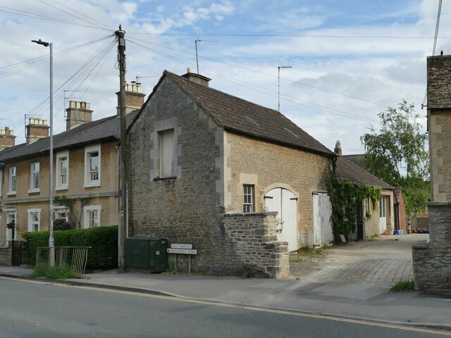
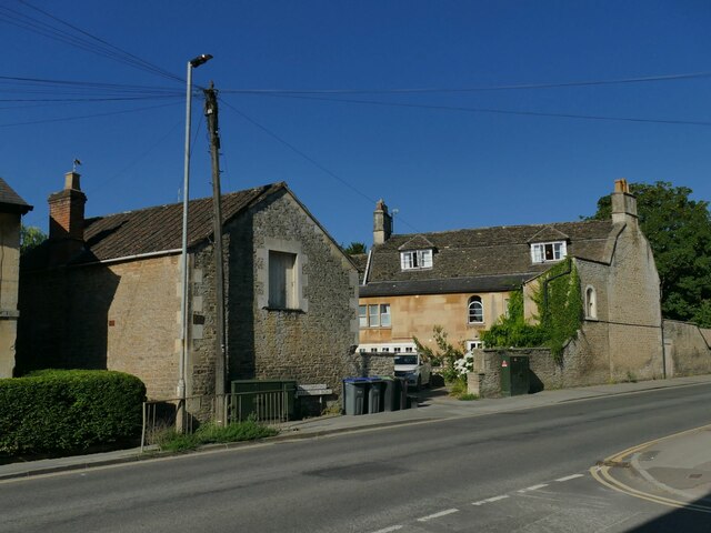
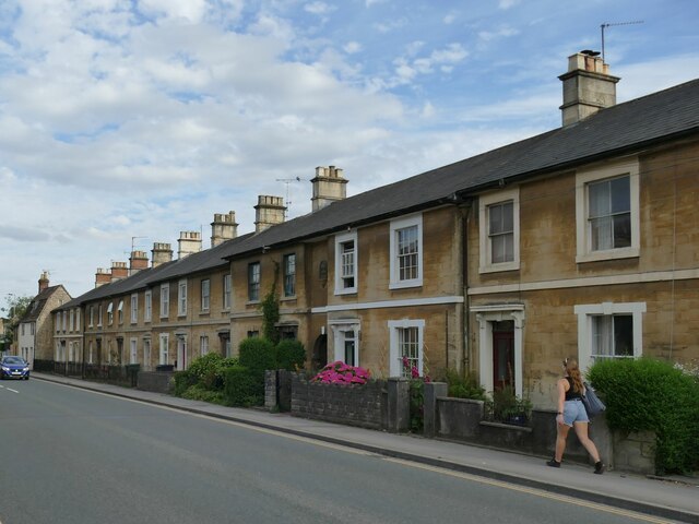
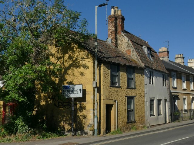
Baydons Wood Images
Images are sourced within 2km of 51.456378/-2.1088155 or Grid Reference ST9273. Thanks to Geograph Open Source API. All images are credited.

Baydons Wood is located at Grid Ref: ST9273 (Lat: 51.456378, Lng: -2.1088155)
Unitary Authority: Wiltshire
Police Authority: Wiltshire
What 3 Words
///assure.crass.cups. Near Chippenham, Wiltshire
Nearby Locations
Related Wikis

St Andrew's Church, Chippenham
St Andrew's Church, in Chippenham, Wiltshire, England, is a Church of England parish church. It is one of four Anglican parish churches in the town, and...

Yelde Hall
The Yelde Hall is a public facility in the Market Place, in Chippenham, Wiltshire, England. The building, which was the meeting place of Chippenham Borough...

Angel Hotel, Chippenham
The Angel Hotel is a grade II* listed hotel in Chippenham, Wiltshire, England.There was an inn called the Bull on this site, on the west side of the town...

Battle of Chippenham
The Battle of Chippenham was a January 878 battle between a Viking army led by Guthrum and an Anglo-Saxon army led by Alfred the Great. The Vikings forced...

Chippenham Town Hall
Chippenham Town Hall is a 19th-century municipal building in the High Street, Chippenham, Wiltshire, England. The town hall, which was the headquarters...

Chippenham
Chippenham is a market town in north-west Wiltshire, England. It lies 13 miles (21 km) north-east of Bath, 86 miles (138 km) west of London and is near...
Olympiad Leisure Centre
The Olympiad Leisure Centre is a leisure centre in Chippenham, Wiltshire, England. == History == The centre opened in 1989 and is owned by Wiltshire Council...

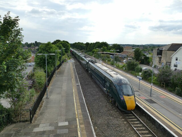
Chippenham railway station
Chippenham railway station is on the Great Western Main Line (GWML) in South West England, serving the town of Chippenham, Wiltshire. It is 93 miles 76...
Nearby Amenities
Located within 500m of 51.456378,-2.1088155Have you been to Baydons Wood?
Leave your review of Baydons Wood below (or comments, questions and feedback).