Camphill Plantation

Wood, Forest in Northumberland

England

Camphill Plantation

Sheep grazing near Low Cowden Off the A68.
Sheep grazing near Low Cowden Credit: JThomas

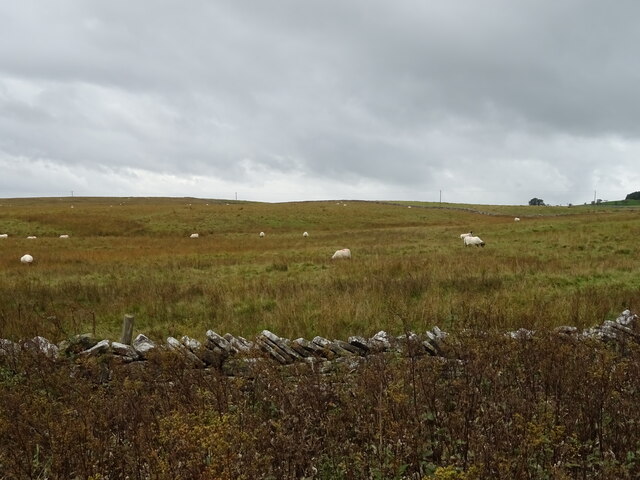
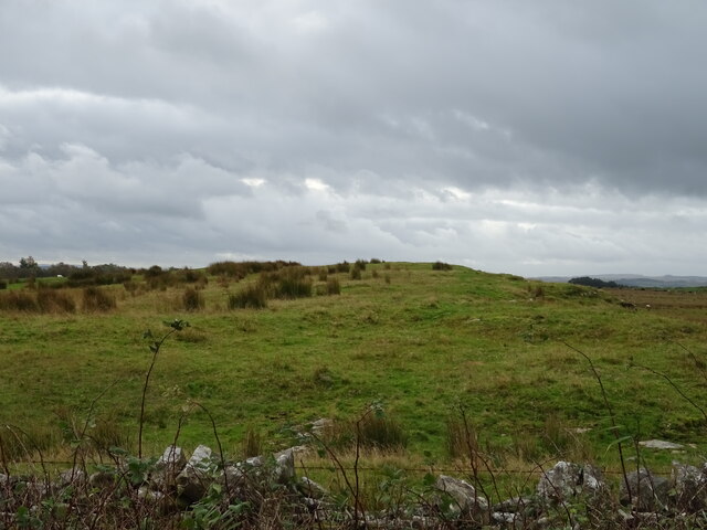
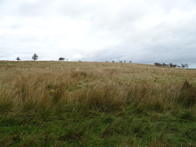
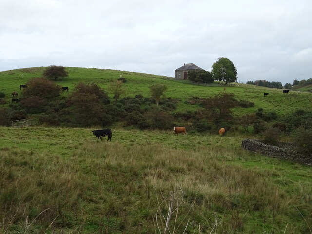
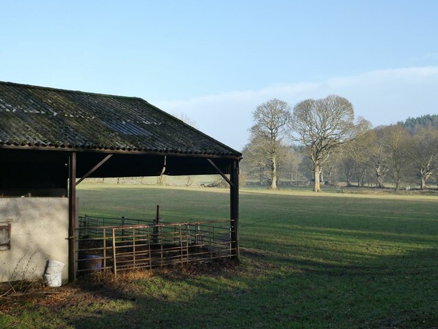
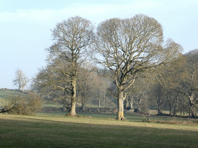
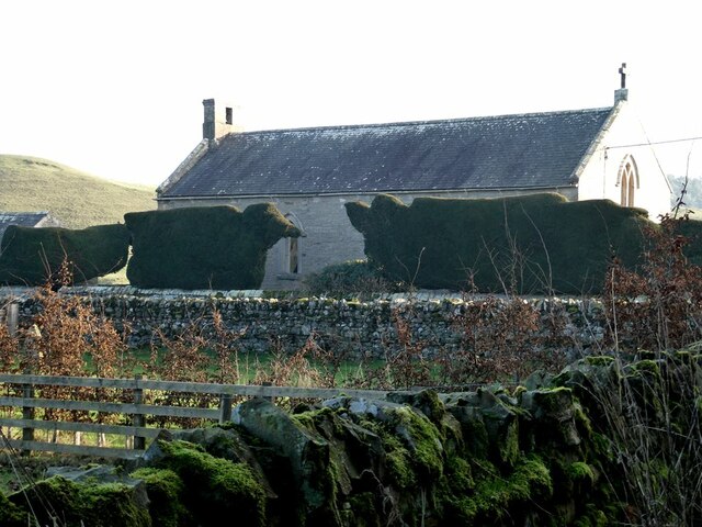
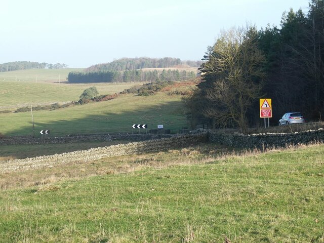
Camphill Plantation is a picturesque woodland located in Northumberland, England. Covering an area of approximately 500 acres, this stunning plantation is a haven for nature enthusiasts and outdoor adventurers alike. The plantation is known for its dense forest, which includes a variety of tree species such as oak, birch, and pine, creating a diverse and vibrant ecosystem.

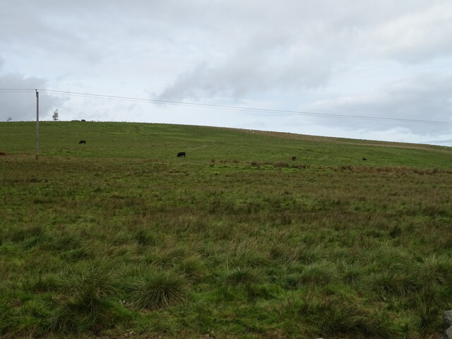
The woodland is home to a rich array of wildlife, including deer, red squirrels, and various bird species. The tranquil atmosphere and abundance of flora and fauna make Camphill Plantation a popular destination for birdwatching and nature walks.

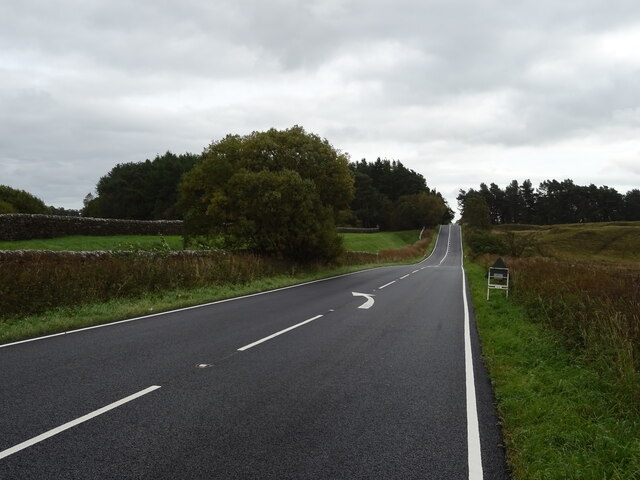
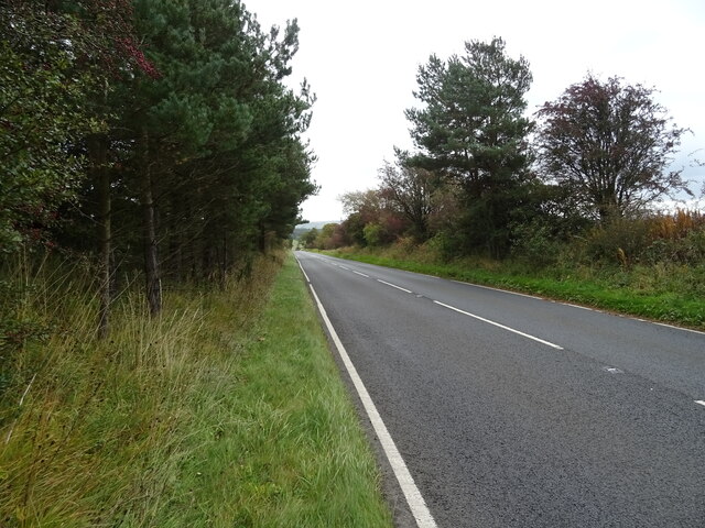
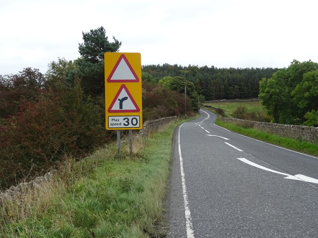
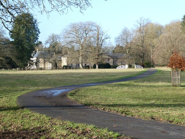
Visitors can explore the plantation through a network of well-maintained trails that wind their way through the forest. These trails cater to different levels of difficulty, ensuring that there is something for everyone, from families with young children to experienced hikers. Along the trails, visitors can discover hidden gems such as enchanting glades, babbling brooks, and stunning viewpoints.

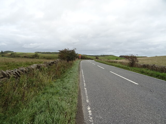
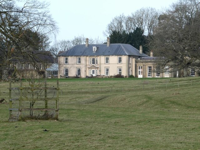
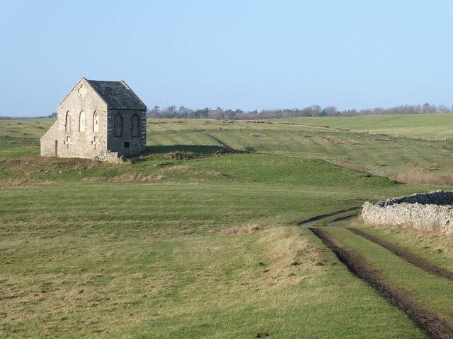
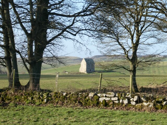
In addition to its natural beauty, Camphill Plantation also has historical significance. The area was once part of a larger estate and is dotted with remnants of the past, including ancient stone walls and ruins of old buildings. These historical features add an extra layer of charm and intrigue to the woodland.

Overall, Camphill Plantation offers a peaceful and immersive experience in nature, allowing visitors to escape the hustle and bustle of everyday life and reconnect with the natural world. Whether it's a leisurely stroll, a scenic picnic, or an adventurous hike, this woodland has something to offer for everyone.

If you have any feedback on the listing, please let us know in the comments section below.

Camphill Plantation Images

Images are sourced within 2km of 55.087046/-2.1208033 or Grid Reference NY9276. Thanks to Geograph Open Source API. All images are credited.

Sheep grazing near Low Cowden Off the A68.
Sheep grazing near Low Cowden
Off the A68.
Dere Street Roman Road The A68 towards Swinburne.
Straight but undulating - characteristic of this road.
Dere Street Roman Road
The A68 towards Swinburne. Straight but undulating - characteristic of this road.
Rough grazing near Barrasford Park Off the A68.
Rough grazing near Barrasford Park
Off the A68.
Dere Street Roman Road The A68 towards Swinburne.
Straight but undulating - characteristic of this road.
Dere Street Roman Road
The A68 towards Swinburne. Straight but undulating - characteristic of this road.
Rough grazing off the A68
Dere Street Roman Road The A68 towards Swinburne.
Dere Street Roman Road
The A68 towards Swinburne.
Hillside grazing North of the A68.
Hillside grazing
North of the A68.
A68 towards Corbridge
Cattle grazing near Dry Burn
Approaching a bend on the A68 Towards Corbridge.
Approaching a bend on the A68
Towards Corbridge.
A view of Swinburne Castle The original castle, dating in part from the 14th century fell into disrepair many centuries ago. The main house standing in the middle of an extensive estate is surprisingly recent, dating from 1998. It stands on the site of an 18th century house which was demolished in 1960 because the owners could not sustain the cost of maintenance.  The single storey building to the right is the 18th century orangery (Grade II listed).
A view of Swinburne Castle
The original castle, dating in part from the 14th century fell into disrepair many centuries ago. The main house standing in the middle of an extensive estate is surprisingly recent, dating from 1998. It stands on the site of an 18th century house which was demolished in 1960 because the owners could not sustain the cost of maintenance. The single storey building to the right is the 18th century orangery (Grade II listed).
Tithebarn, Great Swinburne Late 18th century tithe barn, Grade II listed. The grassy track is a disused public road which runs northwards to Barrasford Park.
Tithebarn, Great Swinburne
Late 18th century tithe barn, Grade II listed. The grassy track is a disused public road which runs northwards to Barrasford Park.
Barn and wintry trees on the Swinburne Castle estate
Wintry trees on the Swinburne Castle estate
Swinburne Castle The original castle, dating in part from the 14th century fell into disrepair many centuries ago. The eastern stable block seen here was built in 1760 and is Grade II* listed.
Swinburne Castle
The original castle, dating in part from the 14th century fell into disrepair many centuries ago. The eastern stable block seen here was built in 1760 and is Grade II* listed.
Tithebarn on the Swinburne Castle estate Late 18th century tithe barn, Grade II listed.
Tithebarn on the Swinburne Castle estate
Late 18th century tithe barn, Grade II listed.
Some rather odd topiary at the rear of St Mary's Church On the Swinburne Castle estate.
Some rather odd topiary at the rear of St Mary's Church
On the Swinburne Castle estate.
The Barrasford Bends The arrow-straight course of the A68 as it follows the line of Dere Street is abruptly interrupted at the Barrasford bends.
The Barrasford Bends
The arrow-straight course of the A68 as it follows the line of Dere Street is abruptly interrupted at the Barrasford bends.
Show me another place!

Camphill Plantation is located at Grid Ref: NY9276 (Lat: 55.087046, Lng: -2.1208033)

Unitary Authority: Northumberland

Police Authority: Northumbria

What 3 Words

///ferried.stud.fake. Near Birtley, Northumberland

Nearby Locations

Camphill Plantation

Related Wikis

Colt Crag Reservoir

Colt Crag Reservoir is a relatively shallow reservoir in Northumberland, England adjacent to the A68 road, and 9 miles (14 km) north of Corbridge. The...

Little Swinburne Reservoir

Little Swinburne Reservoir is a small reservoir in Northumberland, England less than 1 mile (1.6 km) northeast of the A68 road, and about 9 miles (14 km...

Barrasford railway station

Barrasford railway station served the village of Barrasford, Northumberland, England from 1859 to 1958 on the Border Counties Railway. == History == The...

Colwell, Northumberland

Colwell is a hamlet in Northumberland, England. It is about 12 miles (19 km) to the north of Hexham. == Governance == Colwell is in the parliamentary constituency...

Nearby Amenities

Located within 500m of 55.087046,-2.1208033
Power: pole
Lat/Long: 55.0848082/-2.1257316
Power: pole
Lat/Long: 55.0841393/-2.1263753
Power: pole
Lat/Long: 55.0860458/-2.1267192
Power: pole
Lat/Long: 55.0866599/-2.1271825
Power: pole
Lat/Long: 55.0874118/-2.1271542
Power: pole
Lat/Long: 55.0881519/-2.1271134
Power: pole
Lat/Long: 55.088893/-2.1270805
Power: pole
Lat/Long: 55.0896904/-2.1270395
Power: pole
Lat/Long: 55.0848363/-2.125825
Power: pole
Lat/Long: 55.0853621/-2.12623
The data included in this document is from www.openstreetmap.org. The data is made available under ODbL.

Have you been to Camphill Plantation?

Leave your review of Camphill Plantation below (or comments, questions and feedback).