Fox Covert

Wood, Forest in Dorset

England

Fox Covert

The eastern end of Charborough Park wall The famous wall of the deer park, beside the A31, one of the longest brick walls in England
The eastern end of Charborough Park wall Credit: David Smith

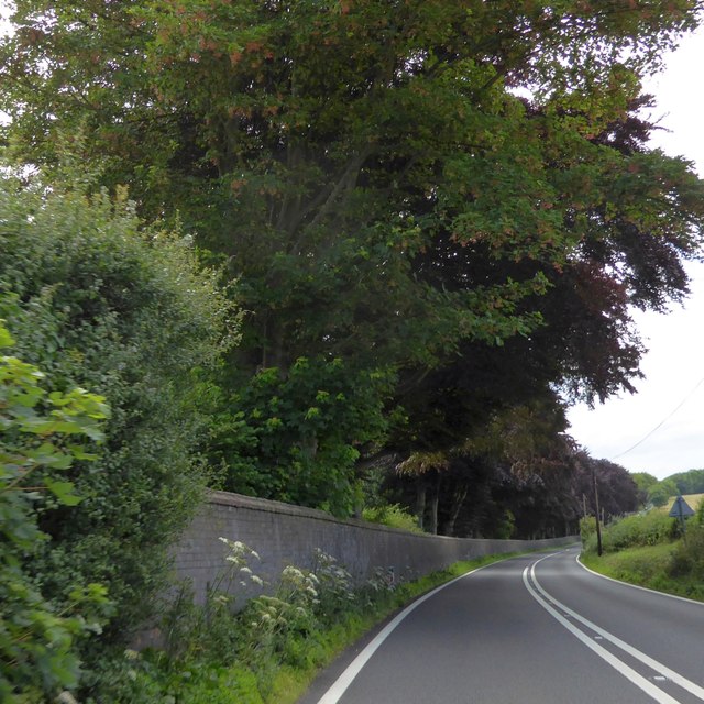
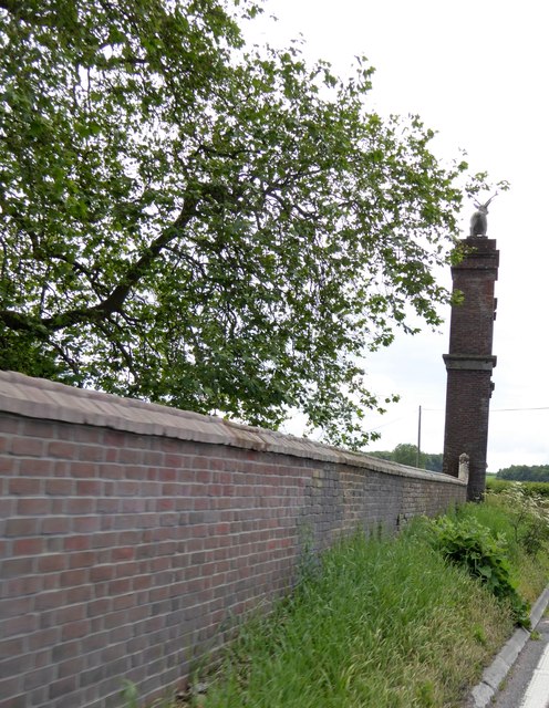
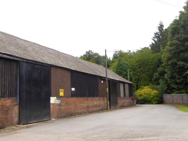
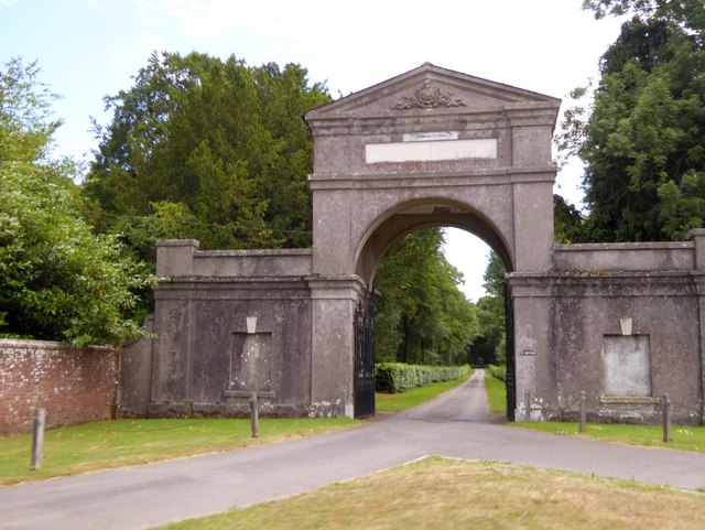
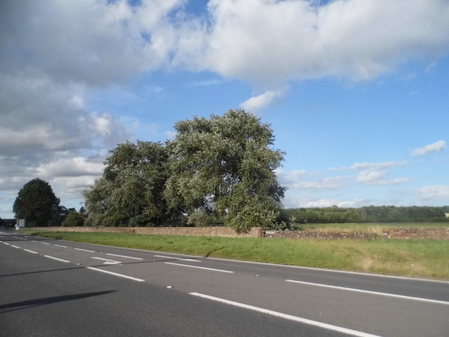
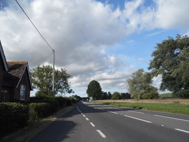
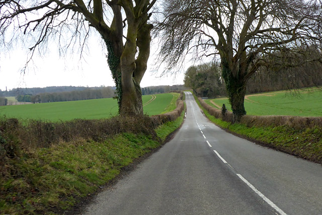
Fox Covert is a small woodland area located in the county of Dorset, England. Covering an approximate area of 20 acres, it is situated in the rural countryside, surrounded by picturesque landscapes and rolling hills. The woodland can be found just a few miles outside of the town of Dorchester, making it easily accessible for both locals and visitors.

Fox Covert is predominantly composed of oak trees, which provide a dense canopy and create a tranquil and shaded environment. The forest floor is covered with a variety of native plant species, including bluebells, primroses, and ferns, adding to the natural beauty of the area. The woodland is also home to a diverse range of wildlife, including foxes, badgers, and various species of birds, making it a popular spot for nature enthusiasts and birdwatchers.

The woodland features several walking trails, allowing visitors to explore the area and enjoy the peaceful surroundings. These paths are well-maintained and suitable for both leisurely strolls and more adventurous hikes. There are also designated picnic areas and benches scattered throughout the woodland, providing the perfect opportunity for visitors to relax and take in the stunning views.

Fox Covert offers a serene escape from the hustle and bustle of everyday life, allowing visitors to immerse themselves in nature and enjoy the tranquility of the Dorset countryside. Whether it's a leisurely walk, a picnic with family and friends, or simply a moment of solitude, Fox Covert provides a haven for those seeking respite in the beauty of the natural world.

If you have any feedback on the listing, please let us know in the comments section below.

Fox Covert Images

Images are sourced within 2km of 50.792063/-2.1094327 or Grid Reference SY9299. Thanks to Geograph Open Source API. All images are credited.

The eastern end of Charborough Park wall The famous wall of the deer park, beside the A31, one of the longest brick walls in England
The eastern end of Charborough Park wall
The famous wall of the deer park, beside the A31, one of the longest brick walls in England
Drax wall and Stag Gate, Charborough Park Part of the long wall around the deer park, and a rear view of the stag on the top of the gateway
Drax wall and Stag Gate, Charborough Park
Part of the long wall around the deer park, and a rear view of the stag on the top of the gateway
Farm buildings at East Almer Farm
Main entrance to Charborough Park at Almer
St Mary's Church, Almer
Benchmark on St Mary's Church, Almer Ordnance Survey benchmark, described on database at <span class="nowrap"><a title="http://www.bench-marks.org.uk/bm53454" rel="nofollow ugc noopener" href="http://www.bench-marks.org.uk/bm53454">Link</a><img style="margin-left:2px;" alt="External link" title="External link - shift click to open in new window" src="https://s1.geograph.org.uk/img/external.png" width="10" height="10"/></span>. See also <a href="https://www.geograph.org.uk/photo/5129860">SY9198 : St Mary's Church, Almer</a>.
Benchmark on St Mary's Church, Almer
Ordnance Survey benchmark, described on database at LinkExternal link. See also SY9198 : St Mary's Church, Almer.
Stag Gate, Charborough Park Here is the Charborough Park website summary <span class="nowrap"><a title="http://www.waymarking.com/waymarks/WM9XB5_The_Stag_on_The_Stag_Gate_Charborough_Park_Dorset_UK" rel="nofollow ugc noopener" href="http://www.waymarking.com/waymarks/WM9XB5_The_Stag_on_The_Stag_Gate_Charborough_Park_Dorset_UK">Link</a><img style="margin-left:2px;" alt="External link" title="External link - shift click to open in new window" src="https://s1.geograph.org.uk/img/external.png" width="10" height="10"/></span>
Stag Gate, Charborough Park
Here is the Charborough Park website summary LinkExternal link
Stag Gate, Charborough Park
The A31, Marsh Bridge
Gatehouse at The Kennels, Almer
The A31 at Stag Gate
Old Other Stone on East Almer Lodge, Charborough Park, Sturminster Marshall Commemorative Marker by the A31, in parish of Sturminster Marshall (East Dorset District), Charborough Park, East Almer Lodge, set back from road.

Inscription reads:-
This Road from Wimborne to Dorchester was projected
and completed through the instrumentality of
J S W SAWBRIDGE ERLE DRAX Esq MP
in the Years 1811 and 1812. 

The lodge is Grade II listed.
List Entry Number: 1249743 <span class="nowrap"><a title="https://historicengland.org.uk/listing/the-list/list-entry/1249743" rel="nofollow ugc noopener" href="https://historicengland.org.uk/listing/the-list/list-entry/1249743">Link</a><img style="margin-left:2px;" alt="External link" title="External link - shift click to open in new window" src="https://s1.geograph.org.uk/img/external.png" width="10" height="10"/></span>

Surveyed

Milestone Society National ID: DO_DOWB16cm
Old Other Stone on East Almer Lodge, Charborough Park, Sturminster Marshall
Commemorative Marker by the A31, in parish of Sturminster Marshall (East Dorset District), Charborough Park, East Almer Lodge, set back from road. Inscription reads:- This Road from Wimborne to Dorchester was projected and completed through the instrumentality of J S W SAWBRIDGE ERLE DRAX Esq MP in the Years 1811 and 1812. The lodge is Grade II listed. List Entry Number: 1249743 LinkExternal link Surveyed Milestone Society National ID: DO_DOWB16cm
East Almer Toll House Toll House by the A31, in the parish of Morden (Purbeck District), East Almer Lodge, World's End, DT11.

Surveyed

Milestone Society National ID: DO.MOR
East Almer Toll House
Toll House by the A31, in the parish of Morden (Purbeck District), East Almer Lodge, World's End, DT11. Surveyed Milestone Society National ID: DO.MOR
Stag Gate, Charborough Park
B3075 heading south
B3075 heading south
The Golden Fox
The Golden Fox
Sign for the Golden Fox
Show me another place!

Fox Covert is located at Grid Ref: SY9299 (Lat: 50.792063, Lng: -2.1094327)

Unitary Authority: Dorset

Police Authority: Dorset

What 3 Words

///shoelaces.allow.rebounder. Near Sturminster Marshall, Dorset

Nearby Locations

Fox Covert

Related Wikis

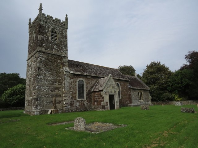
Church of St Mary, Almer, Dorset

Church of Mary is a Grade I listed church in Almer, Dorset, England. It became a listed building on 18 March 1955. According to Arthur Mee's The King...
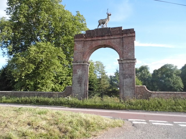
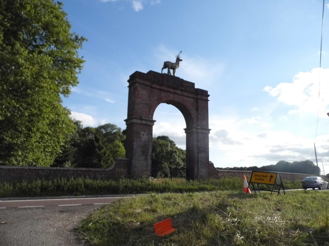
Charborough House

Charborough House, also known as Charborough Park, is a Grade I listed building, the manor house of the ancient manor of Charborough. The house is between...

Almer

Almer is a village and former civil parish, now in the parish of Sturminster Marshall, in the Dorset district, in the ceremonial county of Dorset, England...

River Winterborne

There are two River Winterbornes in Dorset, England.The rivers only flow overground during the winter, hence the name. They both flow through a number...

Sturminster Marshall

Sturminster Marshall is a village and civil parish in the east of Dorset in England, situated on the River Stour between Blandford Forum and Poole. The...

Bailey Gate railway station

Bailey Gate railway station was on the Somerset & Dorset Joint Railway in the English county of Dorset. == Usage == The station served the United Dairies...

Winterborne Zelston

Winterborne Zelston is a village and civil parish in north Dorset, England. It is situated in a winterbourne valley on the A31 road eight miles (thirteen...

Rushmore Hundred

Rushmore Hundred was a hundred in the county of Dorset, England, containing the parish of Winterborne Zelston == See also == List of hundreds in Dorset...

Nearby Amenities

Located within 500m of 50.792063,-2.1094327
Stag Gate
Place: locality
Source: NPE
Wikidata: Q26609280
Lat/Long: 50.7938378/-2.1074974
Material: wood
Power: pole
Source: bing
Lat/Long: 50.7929929/-2.1157316
The data included in this document is from www.openstreetmap.org. The data is made available under ODbL.

Have you been to Fox Covert?

Leave your review of Fox Covert below (or comments, questions and feedback).