Centurian Wood
Wood, Forest in Worcestershire Wychavon
England
Centurian Wood

Centurian Wood is a picturesque forest located in Worcestershire, England. Covering an area of approximately 200 acres, this woodland is a haven for nature enthusiasts and outdoor adventurers alike.
The wood is predominantly composed of native broadleaf trees such as oak, beech, and ash, creating a rich and diverse ecosystem. The dense canopy provides shelter to a variety of bird species, including woodpeckers and owls, making it a popular spot for birdwatchers. Additionally, the forest floor is adorned with an array of wildflowers and ferns, adding a splash of color to the landscape during the spring and summer months.
This woodland also offers numerous walking trails, providing visitors with an opportunity to explore its natural beauty at their own pace. Whether strolling along the well-maintained paths or venturing off the beaten track, visitors can immerse themselves in the tranquility of nature. Along the way, they may encounter small streams trickling through the forest, adding to the peaceful ambiance.
Centurian Wood is not only a haven for wildlife but also a place of historical significance. The name itself is derived from the Roman centurions who once occupied this land centuries ago. Evidence of their presence can still be found in the form of ancient earthworks and remnants of Roman roads, adding an intriguing element to the woodland's allure.
Overall, Centurian Wood offers a serene escape from the hustle and bustle of everyday life, inviting visitors to reconnect with nature and explore the rich history of the area.
If you have any feedback on the listing, please let us know in the comments section below.
Centurian Wood Images
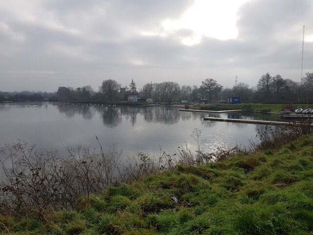
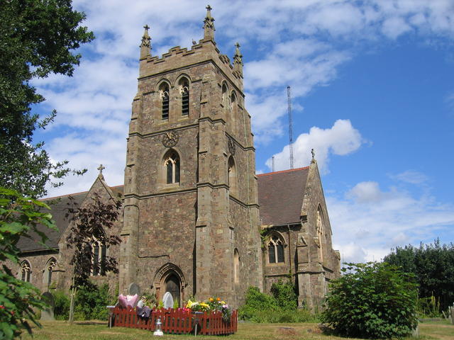
Images are sourced within 2km of 52.289252/-2.11601 or Grid Reference SO9265. Thanks to Geograph Open Source API. All images are credited.


Centurian Wood is located at Grid Ref: SO9265 (Lat: 52.289252, Lng: -2.11601)
Administrative County: Worcestershire
District: Wychavon
Police Authority: West Mercia
What 3 Words
///haggle.deposits.crouches. Near Wychbold, Worcestershire
Nearby Locations
Related Wikis
Wychbold
Wychbold is a village in the Wychavon district of Worcestershire. The village is situated on the A38 between Droitwich Spa and Bromsgrove, and by Junction...

Dodderhill
Dodderhill is a civil parish, near Droitwich, Worcestershire, England, located on the River Salwarpe. The parish is bisected by the M5 motorway, constructed...

Droitwich Transmitting Station
The Droitwich transmitting station is a large broadcasting facility for long-wave and medium-wave transmissions, established in 1934 in the civil parish...
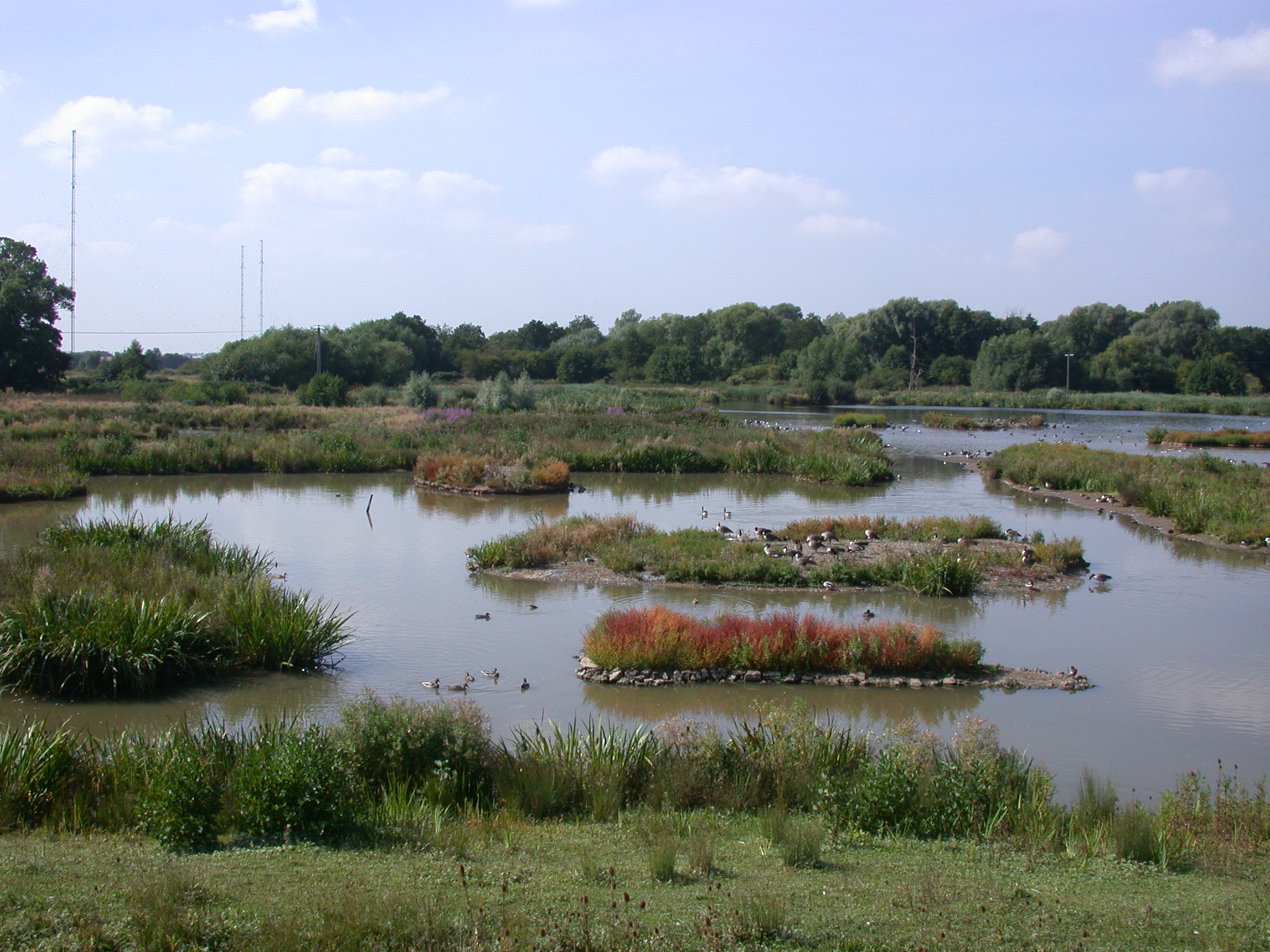
Christopher Cadbury Wetland Reserve
The Christopher Cadbury Wetland Reserve is a nature reserve of the Worcestershire Wildlife Trust. It is situated near Upton Warren, between Bromsgrove...

Upton Warren
Upton Warren is a village and civil parish in the Wychavon district, in Worcestershire, England. The village is situated just off the A38 road between...

Chateau Impney
Chateau Impney Hotel & Exhibition Centre is a Grade II* listed 19th-century house built in the style of an elaborate French château near Droitwich Spa...

Stoke Works railway station
Stoke Works railway station was a station in the hamlet of Stoke Prior in the English county of Worcestershire, near Bromsgrove. It was located on the...

Stoke Prior, Worcestershire
Stoke Prior is a village in the civil parish of Stoke in the Bromsgrove district of Worcestershire. The parish includes the settlement of Stoke Wharf and...
Nearby Amenities
Located within 500m of 52.289252,-2.11601Have you been to Centurian Wood?
Leave your review of Centurian Wood below (or comments, questions and feedback).