Dodderhill
Civil Parish in Worcestershire Wychavon
England
Dodderhill

Dodderhill is a civil parish located in the county of Worcestershire, England. Situated approximately 3 miles north of Droitwich Spa, it covers an area of about 5 square miles. The parish is primarily rural, characterized by rolling countryside and picturesque landscapes.
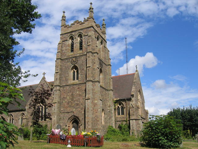
The village of Dodderhill itself is a small settlement with a population of around 500 residents. It has a rich history dating back to the medieval period, evident in its well-preserved architecture and historic buildings. The Holy Trinity Church, a Grade II listed building, is a prominent feature in the village, known for its striking architecture and stained glass windows.
The economy of Dodderhill is primarily based on agriculture, with several farms dotting the landscape. The fertile soil and favorable climate make it an ideal location for farming activities, particularly arable farming and livestock rearing. The agricultural sector contributes significantly to the local economy and provides employment opportunities for many residents.
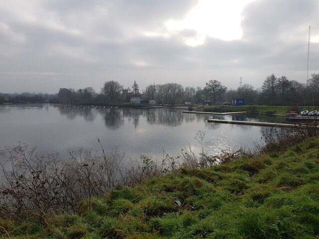
The parish is also home to several natural attractions, including woodlands, fields, and hedgerows. These natural landscapes offer opportunities for outdoor activities such as walking, cycling, and wildlife observation. Additionally, the nearby Droitwich Canal, a popular waterway, provides opportunities for boating and fishing.
Overall, Dodderhill, Worcestershire, is a charming rural parish with a rich historical heritage, a vibrant agricultural sector, and ample opportunities for outdoor recreation. Its picturesque landscapes and peaceful atmosphere make it an attractive place to live or visit for those seeking a tranquil countryside experience.
If you have any feedback on the listing, please let us know in the comments section below.
Dodderhill Images
Images are sourced within 2km of 52.288798/-2.114103 or Grid Reference SO9265. Thanks to Geograph Open Source API. All images are credited.


Dodderhill is located at Grid Ref: SO9265 (Lat: 52.288798, Lng: -2.114103)
Administrative County: Worcestershire
District: Wychavon
Police Authority: West Mercia
What 3 Words
///visits.niece.trickled. Near Wychbold, Worcestershire
Nearby Locations
Related Wikis
Wychbold
Wychbold is a village in the Wychavon district of Worcestershire. The village is situated on the A38 between Droitwich Spa and Bromsgrove, and by Junction...

Dodderhill
Dodderhill is a civil parish, near Droitwich, Worcestershire, England, located on the River Salwarpe. The parish is bisected by the M5 motorway, constructed...

Droitwich Transmitting Station
The Droitwich transmitting station is a large broadcasting facility for long-wave and medium-wave transmissions, established in 1934 in the civil parish...
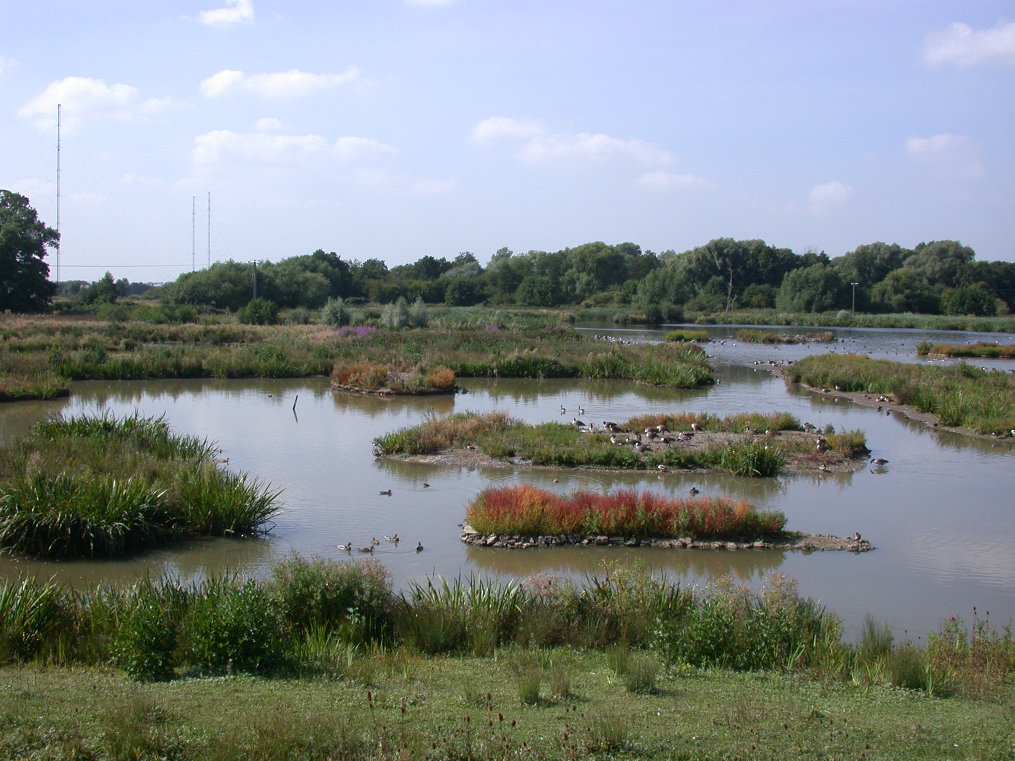
Christopher Cadbury Wetland Reserve
The Christopher Cadbury Wetland Reserve is a nature reserve of the Worcestershire Wildlife Trust. It is situated near Upton Warren, between Bromsgrove...

Upton Warren
Upton Warren is a village and civil parish in the Wychavon district, in Worcestershire, England. The village is situated just off the A38 road between...

Chateau Impney
Chateau Impney Hotel & Exhibition Centre is a Grade II* listed 19th-century house built in the style of an elaborate French château near Droitwich Spa...

Stoke Works railway station
Stoke Works railway station was a station in the hamlet of Stoke Prior in the English county of Worcestershire, near Bromsgrove. It was located on the...

Stoke Prior, Worcestershire
Stoke Prior is a village in the civil parish of Stoke in the Bromsgrove district of Worcestershire. The parish includes the settlement of Stoke Wharf and...
Nearby Amenities
Located within 500m of 52.288798,-2.114103Have you been to Dodderhill?
Leave your review of Dodderhill below (or comments, questions and feedback).