New Town Plantation
Wood, Forest in Wiltshire
England
New Town Plantation
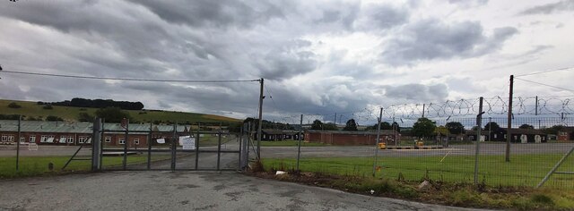
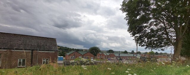
New Town Plantation, located in Wiltshire, England, is a picturesque woodland area known for its serene and natural beauty. Spanning over acres of land, this plantation is a haven for nature enthusiasts and offers a tranquil escape from the hustle and bustle of city life.
The plantation is predominantly covered with various species of trees, forming a dense forest canopy that provides a serene environment for both flora and fauna. The wood is home to a diverse range of wildlife, including deer, rabbits, and a variety of bird species, making it a popular destination for birdwatching and wildlife photography.
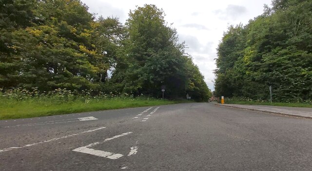
Walking through the plantation, visitors can explore the well-maintained footpaths and trails that meander through the forest, allowing them to fully immerse themselves in the peaceful surroundings. The plantation also features picnic areas and benches, providing the perfect opportunity for visitors to relax and enjoy a picnic amidst nature's beauty.
New Town Plantation is not only a recreational area but also plays a vital role in ecological preservation. The woodland acts as a carbon sink, absorbing carbon dioxide from the atmosphere, and contributing to efforts in combating climate change. Additionally, the plantation is managed sustainably, with regular tree planting and maintenance programs to ensure its long-term ecological health.
With its stunning natural scenery and abundant wildlife, New Town Plantation in Wiltshire offers a serene and rejuvenating experience for nature lovers and provides a valuable contribution to environmental conservation.
If you have any feedback on the listing, please let us know in the comments section below.
New Town Plantation Images
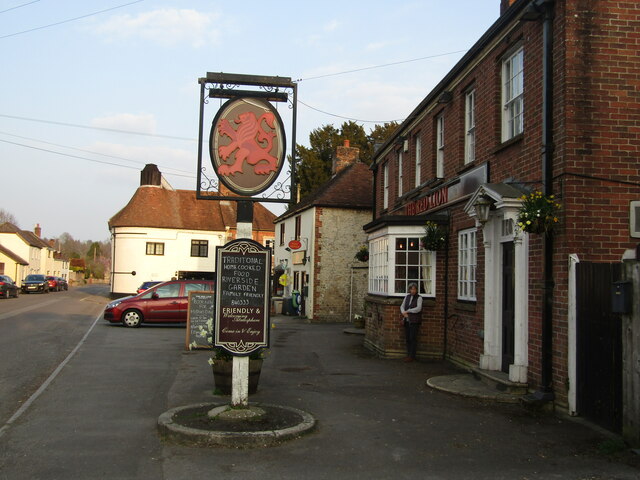
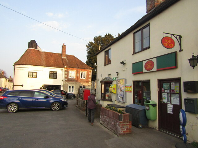
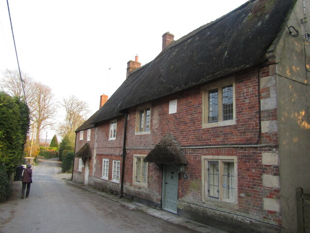
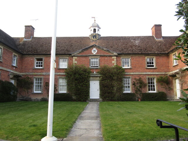
Images are sourced within 2km of 51.18547/-2.1136977 or Grid Reference ST9242. Thanks to Geograph Open Source API. All images are credited.


New Town Plantation is located at Grid Ref: ST9242 (Lat: 51.18547, Lng: -2.1136977)
Unitary Authority: Wiltshire
Police Authority: Wiltshire
What 3 Words
///remote.swipes.firming. Near Bishopstrow, Wiltshire
Nearby Locations
Related Wikis
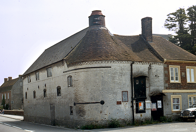
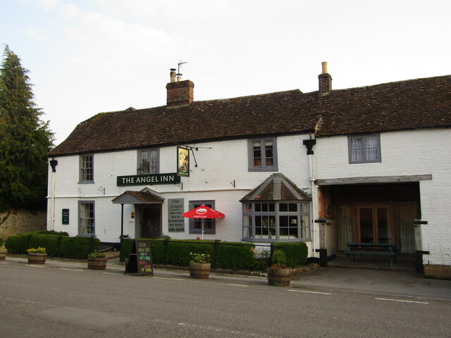
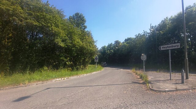
Heytesbury
Heytesbury is a village (formerly considered to be a town) and a civil parish in Wiltshire, England. The village lies on the north bank of the Wylye, about...
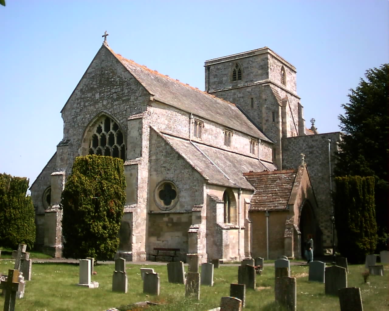
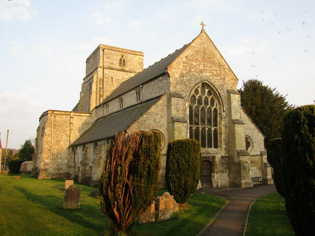
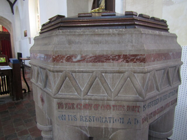
Church of St Peter and St Paul, Heytesbury
The Church of St Peter and St Paul, Heytesbury is the Church of England parish church for the parish of Heytesbury with Tytherington and Knook, Wiltshire...
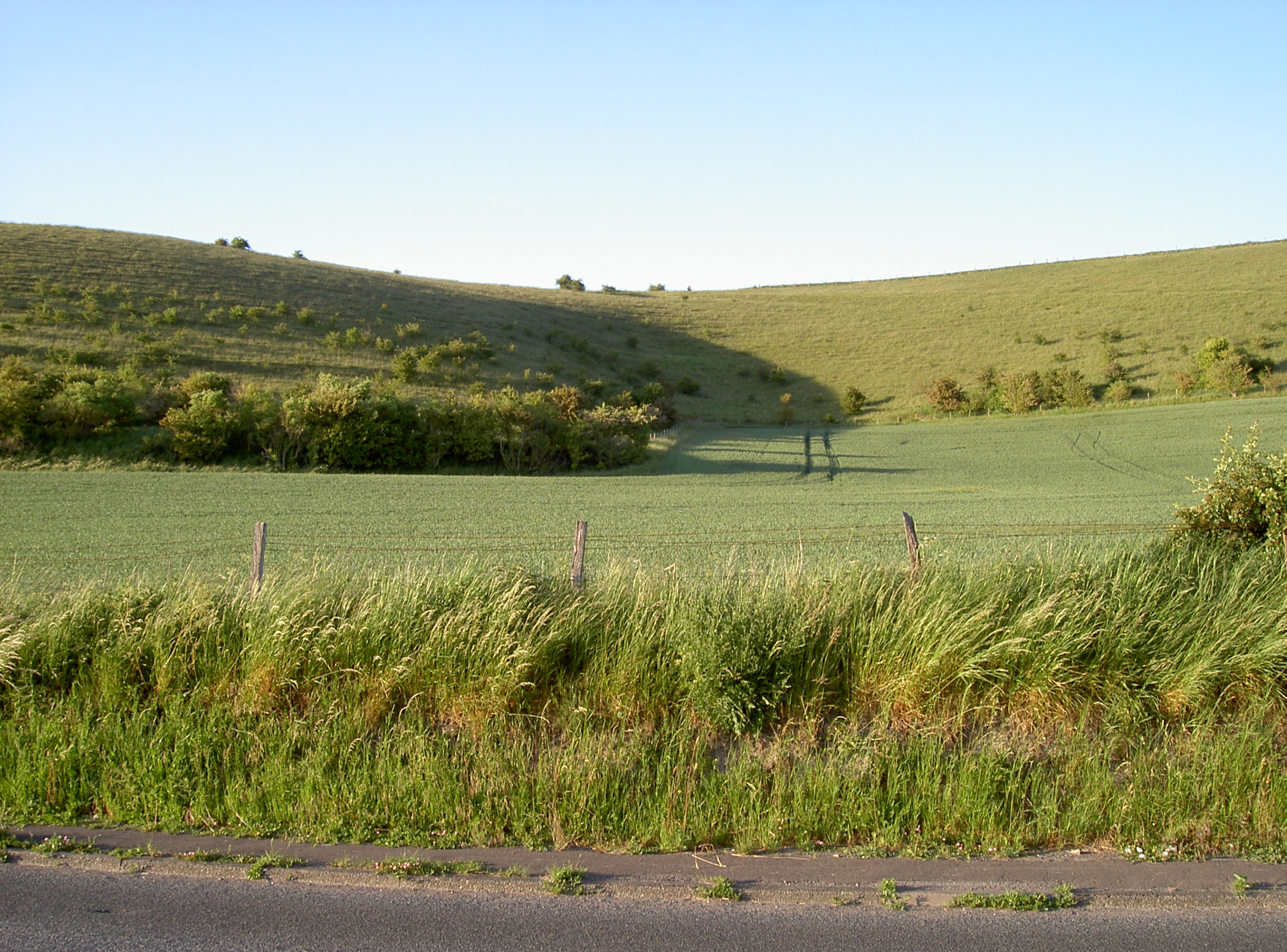
Scratchbury and Cotley Hills SSSI
Scratchbury & Cotley Hills SSSI (grid reference ST915437) is a 53.5 hectare biological Site of Special Scientific Interest at Norton Bavant in Wiltshire...

Heytesbury railway station
Heytesbury railway station is a former railway station near Heytesbury, Wiltshire, England, in the Wylye Valley, about three miles south of Warminster...
Nearby Amenities
Located within 500m of 51.18547,-2.1136977Have you been to New Town Plantation?
Leave your review of New Town Plantation below (or comments, questions and feedback).