Heytesbury
Settlement in Wiltshire
England
Heytesbury
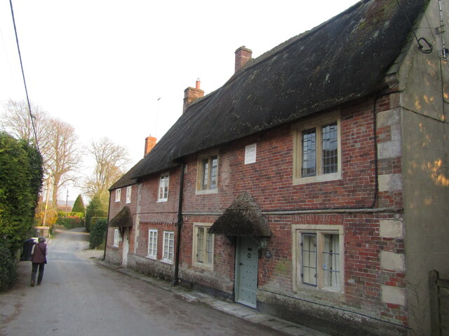
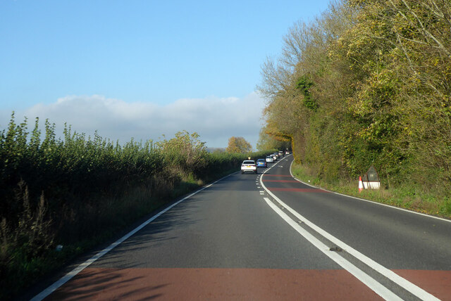
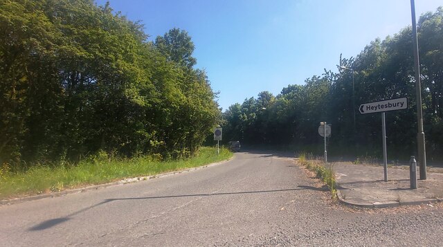
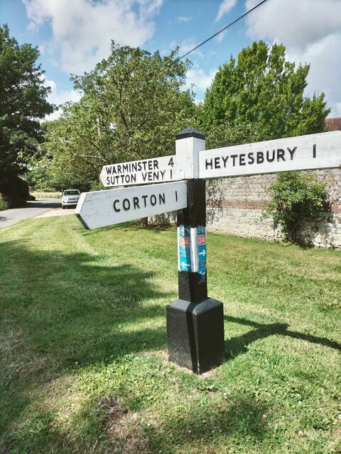
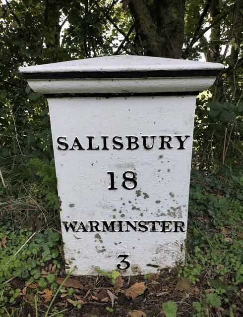
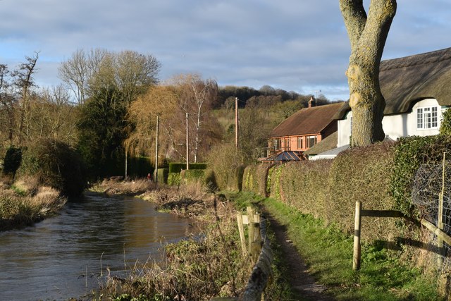
Heytesbury is a small village located in the county of Wiltshire, England. Situated approximately 15 miles west of Salisbury, it lies on the River Wylye and is nestled in the beautiful Wiltshire countryside. With a population of around 1,000 people, Heytesbury is known for its quaint charm and historical significance.
The village dates back to Saxon times and has a rich history. It is home to two ancient hill forts, known as Scratchbury Camp and Knook Castle, which provide evidence of its ancient origins. Heytesbury was also mentioned in the Domesday Book of 1086, highlighting its importance during the medieval period.
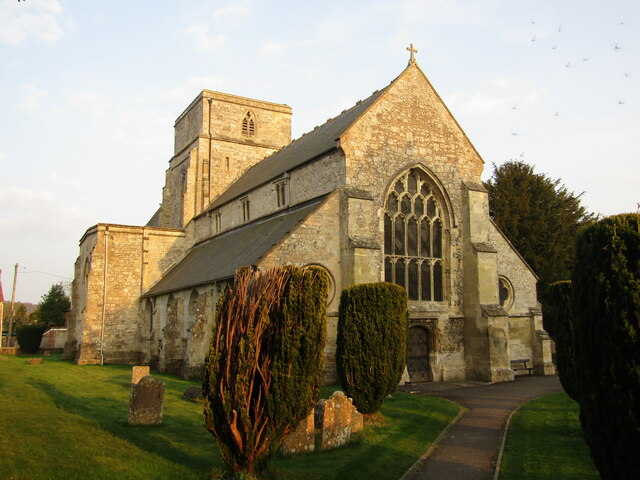
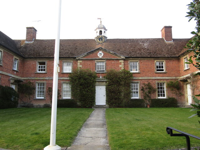
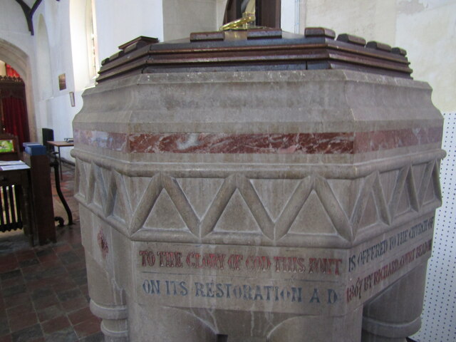
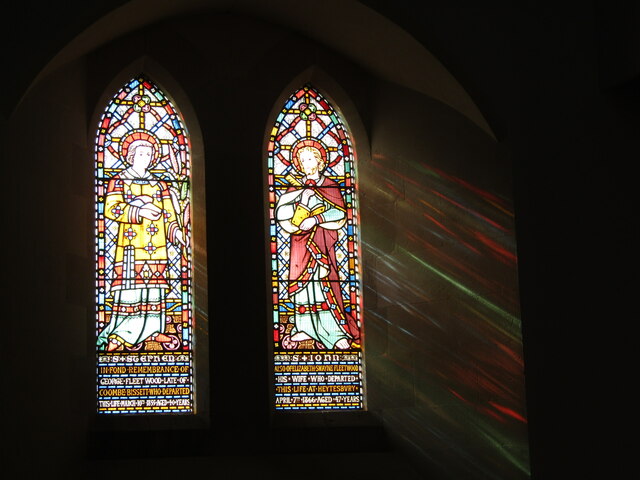
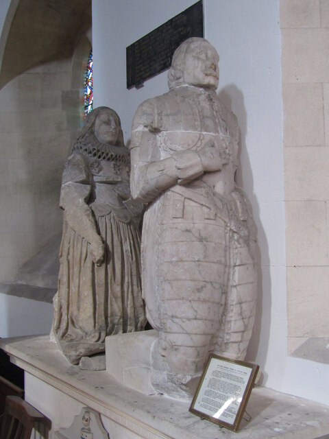
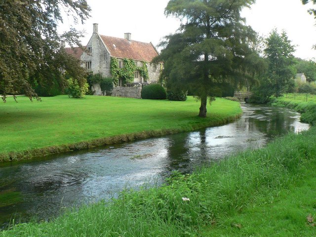
One of the most notable landmarks in Heytesbury is Heytesbury House, a Grade I listed mansion that dates back to the 16th century. The house is surrounded by stunning gardens and parkland, making it a popular attraction for visitors. Additionally, the village features a beautiful Norman church, St. Peter and St. Paul, which is renowned for its impressive architecture.
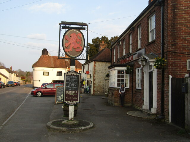
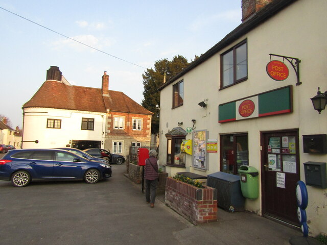
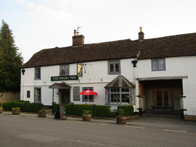
Despite its small size, Heytesbury offers a range of amenities to its residents and visitors. It has a primary school, a village hall, a post office, and a few local shops and pubs. The village also hosts various events throughout the year, including the Heytesbury Show, a traditional agricultural show that attracts visitors from all over the county.
Overall, Heytesbury is a picturesque and historically significant village, offering a glimpse into the past while providing a peaceful and idyllic countryside setting.
If you have any feedback on the listing, please let us know in the comments section below.
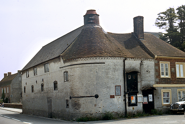
Heytesbury Images
Images are sourced within 2km of 51.182474/-2.104741 or Grid Reference ST9242. Thanks to Geograph Open Source API. All images are credited.


Heytesbury is located at Grid Ref: ST9242 (Lat: 51.182474, Lng: -2.104741)
Unitary Authority: Wiltshire
Police Authority: Wiltshire
What 3 Words
///rally.organist.wriggled. Near Bishopstrow, Wiltshire
Nearby Locations
Related Wikis
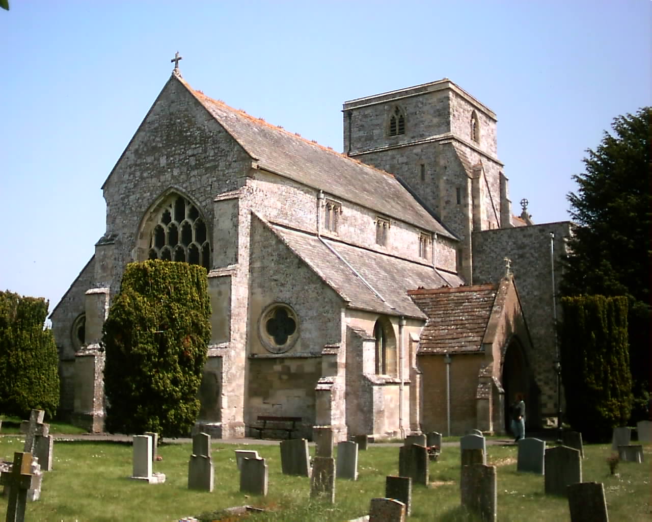
Church of St Peter and St Paul, Heytesbury
The Church of St Peter and St Paul, Heytesbury is the Church of England parish church for the parish of Heytesbury with Tytherington and Knook, Wiltshire...
Heytesbury
Heytesbury is a village (formerly considered to be a town) and a civil parish in Wiltshire, England. The village lies on the north bank of the Wylye, about...
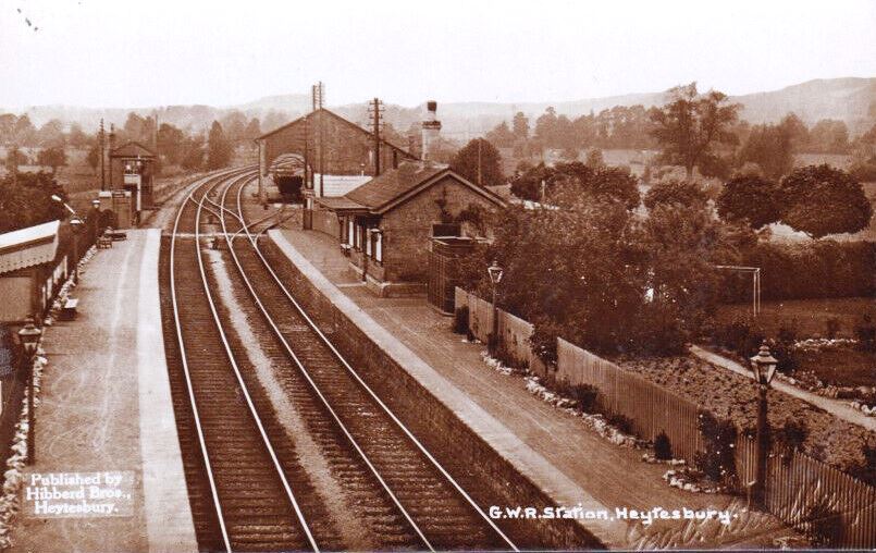
Heytesbury railway station
Heytesbury railway station is a former railway station near Heytesbury, Wiltshire, England, in the Wylye Valley, about three miles south of Warminster...
Knook
Knook is a small village and civil parish in Wiltshire, England. The village lies to the north of the River Wylye at the edge of Salisbury Plain, about...
Nearby Amenities
Located within 500m of 51.182474,-2.104741Have you been to Heytesbury?
Leave your review of Heytesbury below (or comments, questions and feedback).