Abbot's Copse

Wood, Forest in Wiltshire

England

Abbot's Copse

Diversion sign, B3081 This road was once familiar, a regular route to orienteering events in eastern Dorset and the New Forest. Today I was going to visit Ashmore for the first time as I was heading for a crossing of the Stour and the downs beyond.
Diversion sign, B3081 Credit: Richard Webb

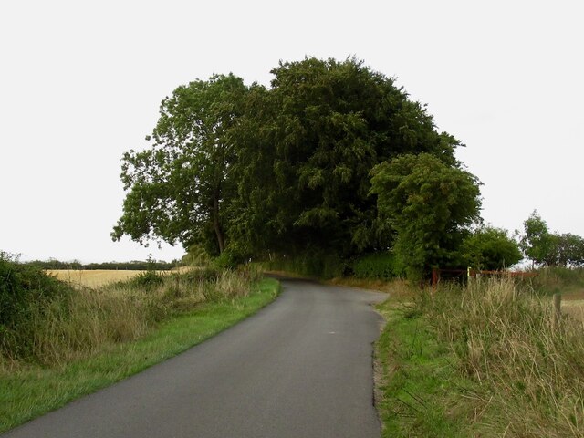
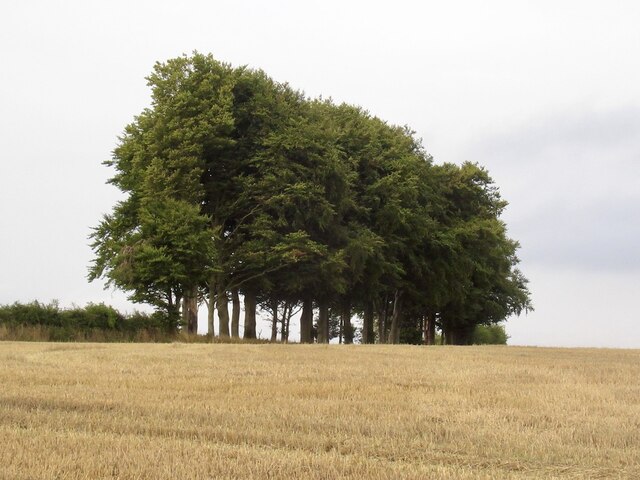
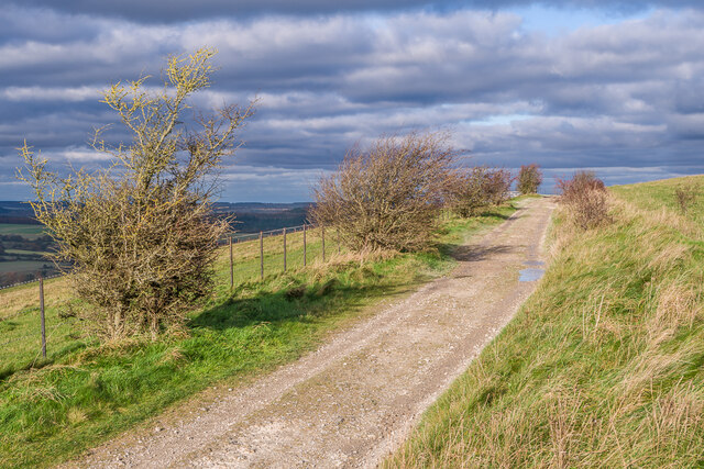
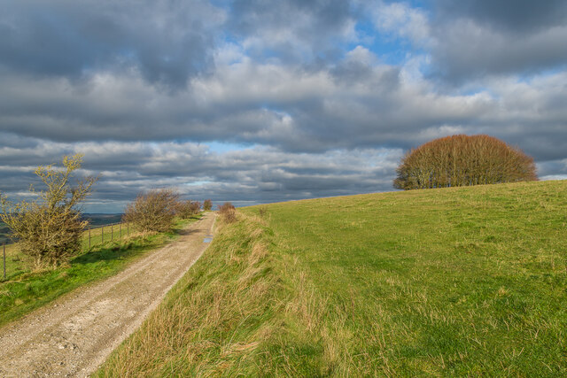
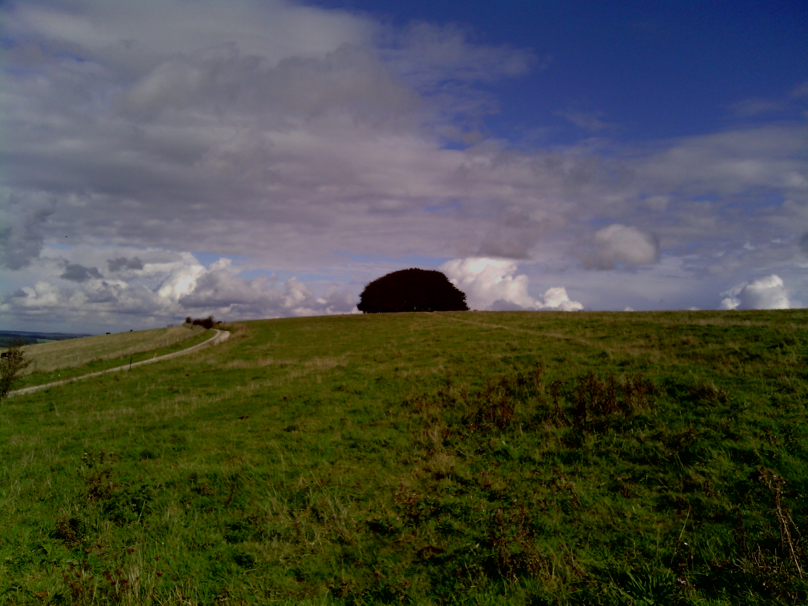
Abbot's Copse is a picturesque woodland located in Wiltshire, England. Covering an area of approximately 100 acres, this enchanting forest is renowned for its natural beauty and rich biodiversity. Nestled within the stunning countryside, Abbot's Copse offers visitors a peaceful and serene escape from the hustle and bustle of everyday life.

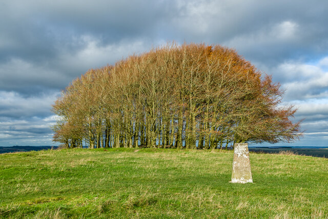
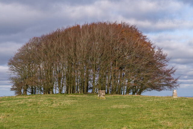
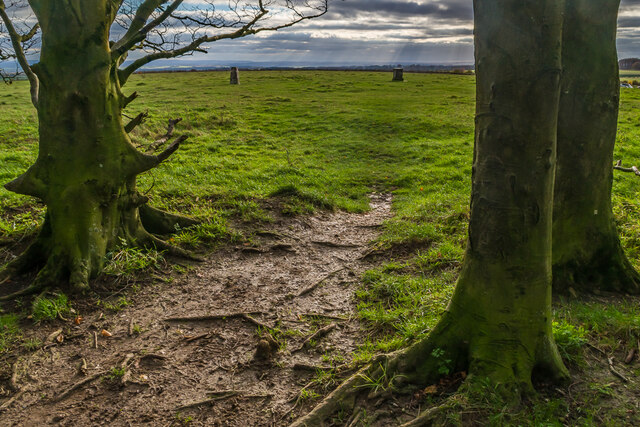
The woodland is primarily composed of ancient broadleaf trees, including oak, beech, and ash, which provide a dense canopy overhead, creating a cool and shady atmosphere. The forest floor is adorned with a lush carpet of ferns, bluebells, and wildflowers, adding a splash of color to the green surroundings.

Abbot's Copse is home to a diverse range of wildlife, making it a haven for nature enthusiasts and birdwatchers. Visitors may catch a glimpse of the elusive red deer, as well as other mammals such as foxes, badgers, and rabbits. The woodland is also teeming with birdlife, with species such as woodpeckers, owls, and various songbirds frequently spotted among the treetops.

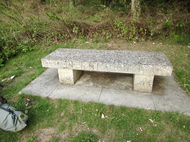
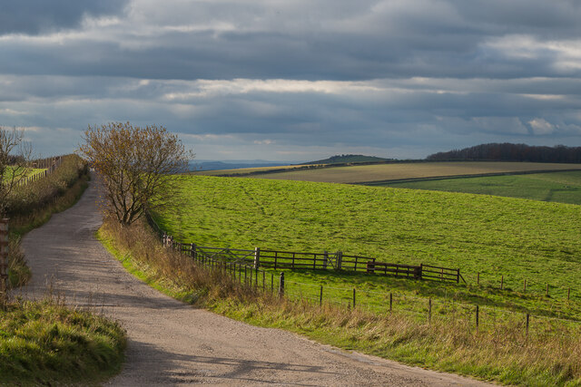
Tranquil walking trails wind their way through Abbot's Copse, allowing visitors to explore the woodland at their own leisure. These pathways provide stunning views of the surrounding countryside and are suitable for all ages and abilities. Additionally, the forest is equipped with picnic areas and benches, inviting visitors to relax and enjoy a peaceful lunch amidst nature.

Abbot's Copse is a true gem in the Wiltshire countryside, offering a delightful escape into the heart of nature. Whether it's a leisurely stroll, birdwatching, or simply soaking up the tranquility, this woodland is sure to leave visitors feeling rejuvenated and connected to the natural world.

If you have any feedback on the listing, please let us know in the comments section below.

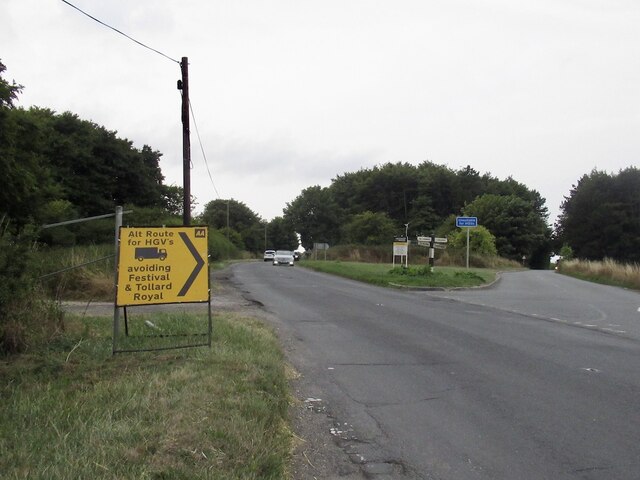
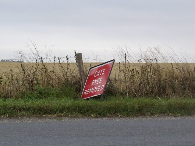
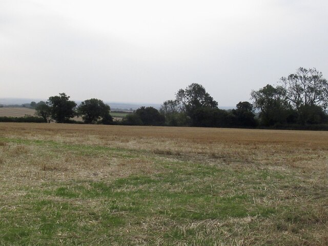
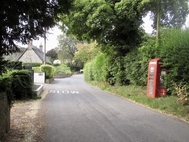
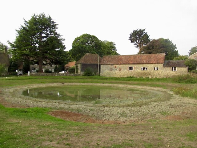
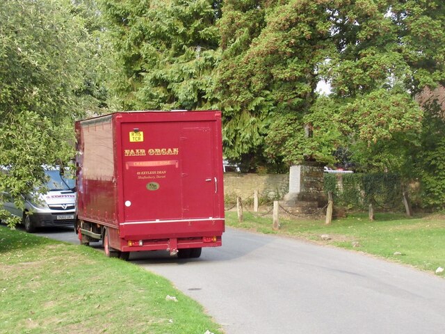
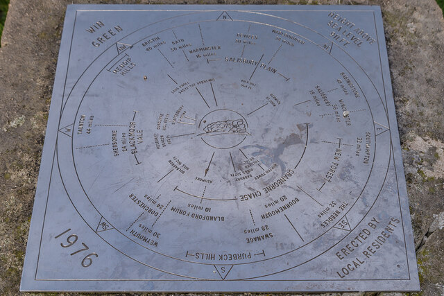
Abbot's Copse Images

Images are sourced within 2km of 50.971404/-2.1137997 or Grid Reference ST9219. Thanks to Geograph Open Source API. All images are credited.

Diversion sign, B3081 This road was once familiar, a regular route to orienteering events in eastern Dorset and the New Forest. Today I was going to visit Ashmore for the first time as I was heading for a crossing of the Stour and the downs beyond.
Diversion sign, B3081
This road was once familiar, a regular route to orienteering events in eastern Dorset and the New Forest. Today I was going to visit Ashmore for the first time as I was heading for a crossing of the Stour and the downs beyond.
Appalling cruelty Funny lot at this end of the island.
Appalling cruelty
Funny lot at this end of the island.
North Road, Ashmore Down
Stubble, Ashmore Down
Dip slope, Ashmore Farmland off North Road.
Dip slope, Ashmore
Farmland off North Road.
Former telephone box, Ashmore Now carrying a defibrillator.
Former telephone box, Ashmore
Now carrying a defibrillator.
Pond, Ashmore It can be a lot bigger.
Pond, Ashmore
It can be a lot bigger.
Fair Organ, Ashmore Felt fitting here.
Fair Organ, Ashmore
Felt fitting here.
Ancient Aquifer A bench on Ashmore's green over looking the pond.
Ancient Aquifer
A bench on Ashmore's green over looking the pond.
Milk and coffee Vending machine and source of water in Ashmore. Very welcome.
Milk and coffee
Vending machine and source of water in Ashmore. Very welcome.
Water source, Ashmore At the shed selling coffee. A very handy find as I was carrying a lot of water from Salisbury. Always a headache in chalk country.
Water source, Ashmore
At the shed selling coffee. A very handy find as I was carrying a lot of water from Salisbury. Always a headache in chalk country.
Ox Drove Ancient drove road, seen here near Win Green.
Ox Drove
Ancient drove road, seen here near Win Green.
Ox Drove Ancient drove road, seen here on Win Green.
Ox Drove
Ancient drove road, seen here on Win Green.
Ox Drove Ancient drove road, seen here on Win Green, with the summit clump of Beech trees on the right.
Ox Drove
Ancient drove road, seen here on Win Green, with the summit clump of Beech trees on the right.
Win Green Clump The clump of Beech trees on the summit of Win Green, the highest point on Cranborne Chase, with the trig point on the right.
Win Green Clump
The clump of Beech trees on the summit of Win Green, the highest point on Cranborne Chase, with the trig point on the right.
Win Green Clump The clump of Beech trees on the summit of Win Green, the highest point on Cranborne Chase, with the toposcope in the centre and the trig point on the right.
Win Green Clump
The clump of Beech trees on the summit of Win Green, the highest point on Cranborne Chase, with the toposcope in the centre and the trig point on the right.
Win Green Clump Looking out from the clump of Beech trees on the summit of Win Green, the highest point on Cranborne Chase, with the toposcope right of centre and the trig point left of centre.
Win Green Clump
Looking out from the clump of Beech trees on the summit of Win Green, the highest point on Cranborne Chase, with the toposcope right of centre and the trig point left of centre.
Toposcope, Win Green The toposcope on the summit of Win Green, the highest point on Cranborne Chase, highlighting the extensive view in all directions.
Toposcope, Win Green
The toposcope on the summit of Win Green, the highest point on Cranborne Chase, highlighting the extensive view in all directions.
Show me another place!

Abbot's Copse is located at Grid Ref: ST9219 (Lat: 50.971404, Lng: -2.1137997)

Unitary Authority: Wiltshire

Police Authority: Wiltshire

What 3 Words

///fits.calibrate.increased. Near Shaftesbury, Dorset

Related Wikis

Nearby Amenities

Located within 500m of 50.971404,-2.1137997
Material: wood
Power: pole
Source: bing
Lat/Long: 50.9678102/-2.1178485
Material: wood
Power: pole
Source: bing
Lat/Long: 50.9685973/-2.1174743
The data included in this document is from www.openstreetmap.org. The data is made available under ODbL.

Have you been to Abbot's Copse?

Leave your review of Abbot's Copse below (or comments, questions and feedback).