Quarry Bottom

Valley in Wiltshire

England

Quarry Bottom

Diversion sign, B3081 This road was once familiar, a regular route to orienteering events in eastern Dorset and the New Forest. Today I was going to visit Ashmore for the first time as I was heading for a crossing of the Stour and the downs beyond.
Diversion sign, B3081 Credit: Richard Webb

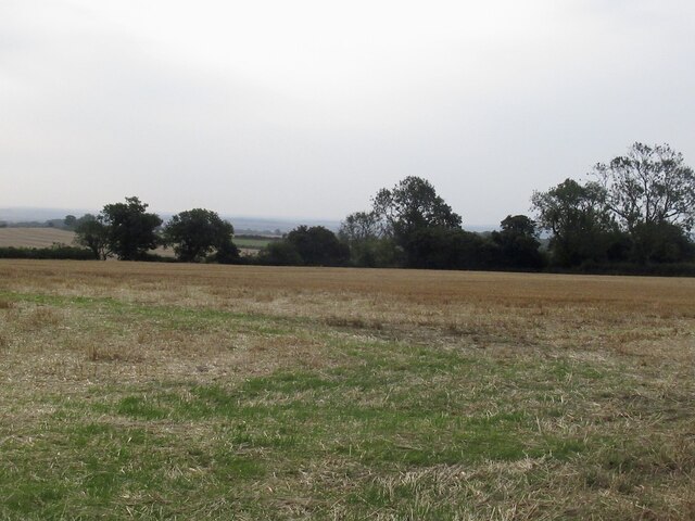
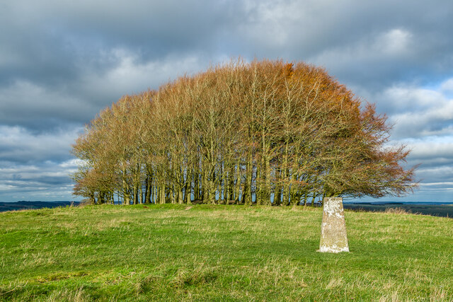
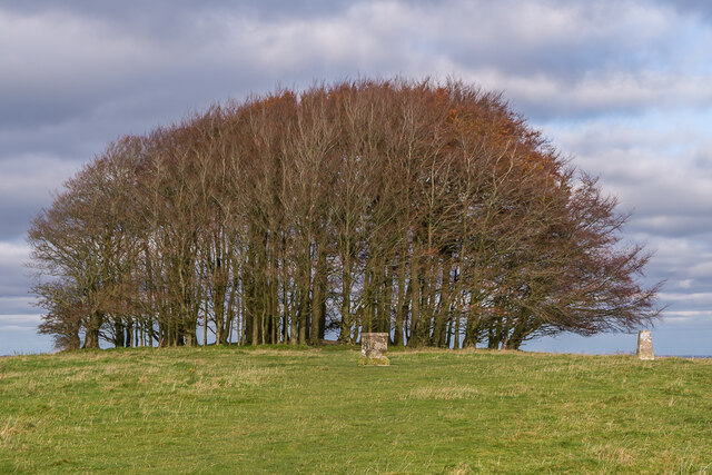
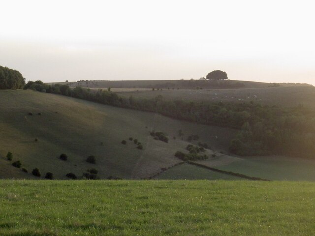
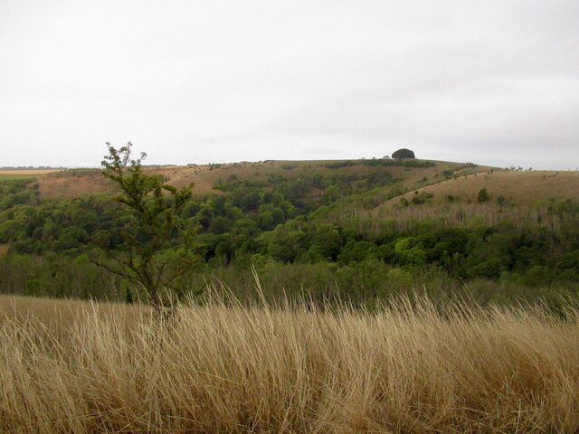
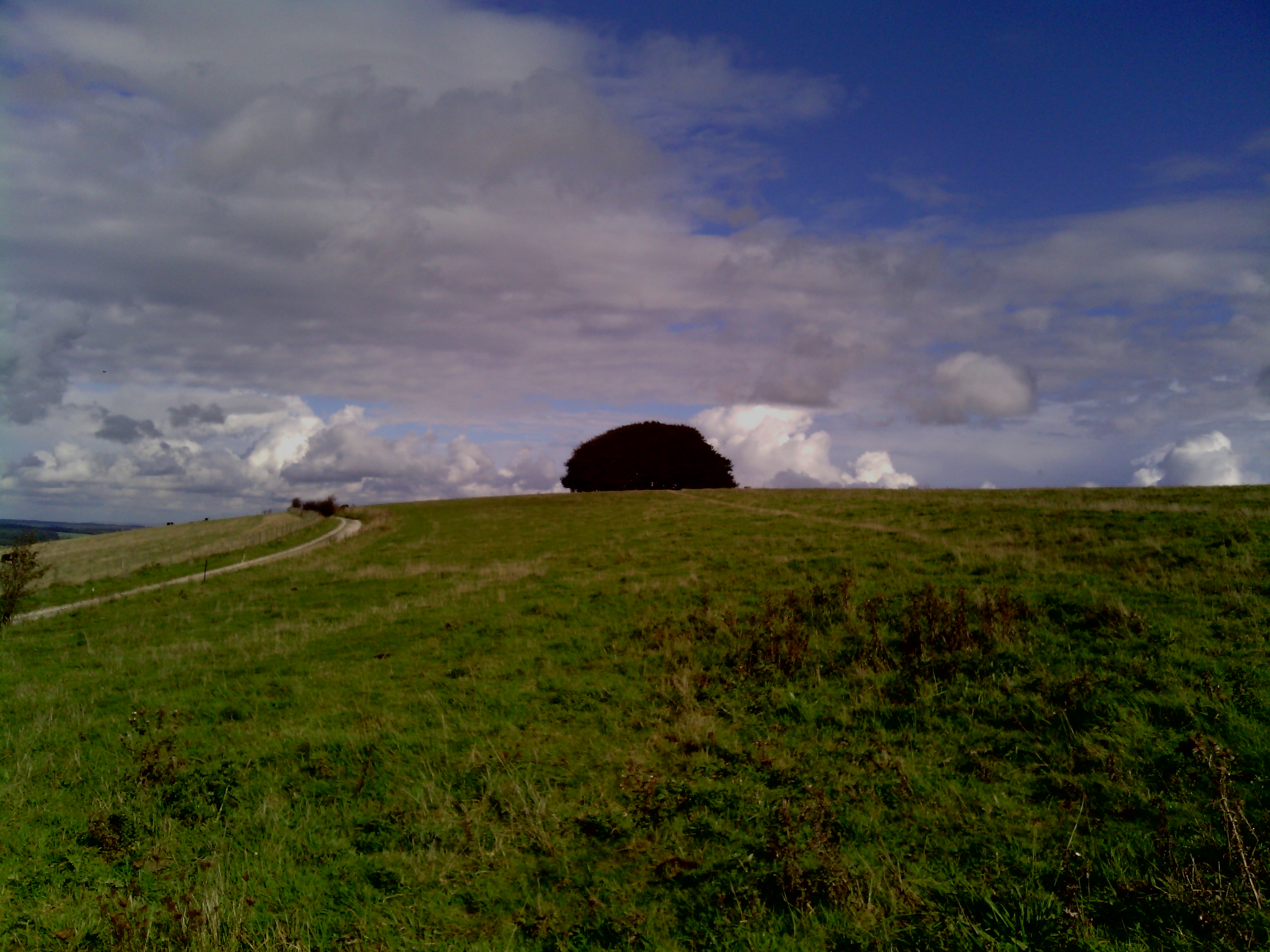
Quarry Bottom, located in Wiltshire, England, is a picturesque valley known for its natural beauty and historical significance. This enchanting area is nestled in the heart of the Wiltshire Downs, surrounded by rolling hills and lush greenery.

The valley takes its name from the former quarries that were once active in the area. These quarries were predominantly used for mining limestone, which was widely used for construction purposes in the medieval period. Today, the remnants of these quarries can still be seen, adding a unique charm to the landscape.

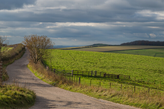
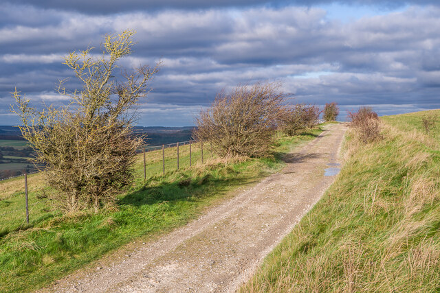
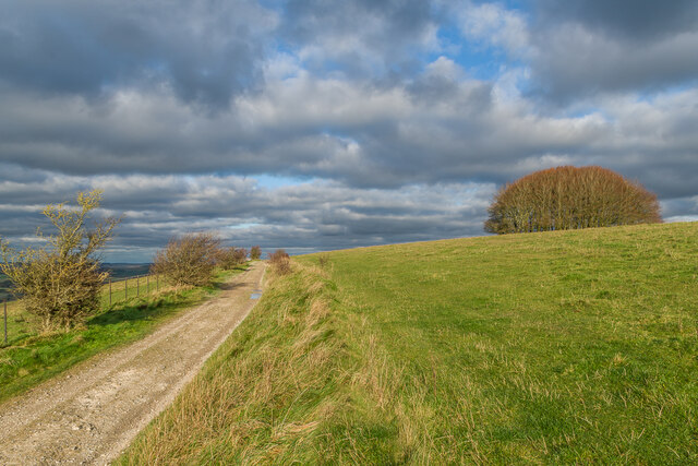
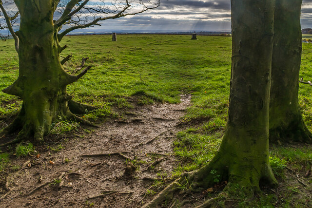
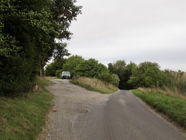
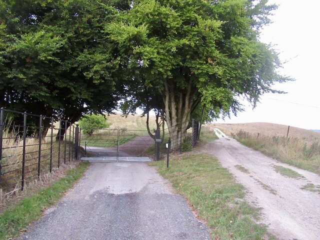
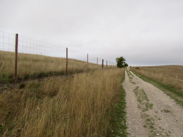
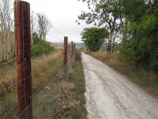
Quarry Bottom is a haven for nature enthusiasts and hikers, offering a plethora of walking trails that wind through the valley. The paths meander through fields and woodlands, providing breathtaking views of the surrounding countryside. The abundance of flora and fauna in this area makes it a haven for wildlife, including various bird species, butterflies, and small mammals.

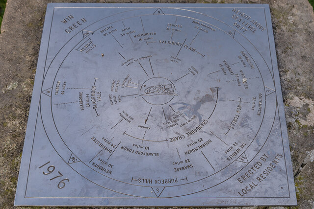
In addition to its natural beauty, Quarry Bottom boasts a rich historical heritage. The valley is dotted with ancient burial mounds, known as barrows, which date back to the Neolithic period. These burial sites offer fascinating insights into the lives and rituals of the people who lived here thousands of years ago.

Whether it's exploring the remnants of the quarries, immersing oneself in nature, or delving into the valley's ancient history, Quarry Bottom offers a captivating and immersive experience for visitors seeking tranquility and a deeper connection with nature and the past.

If you have any feedback on the listing, please let us know in the comments section below.

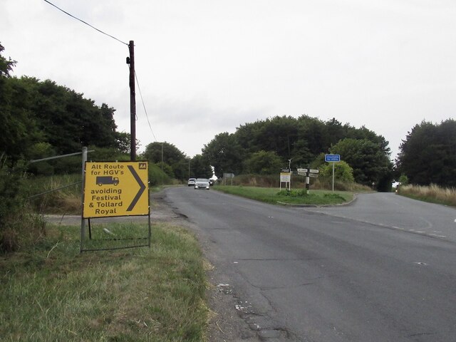
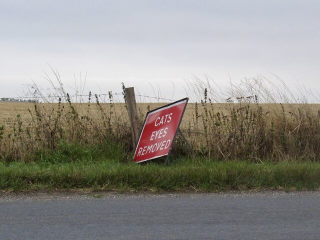
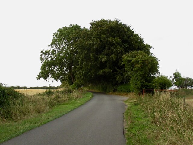
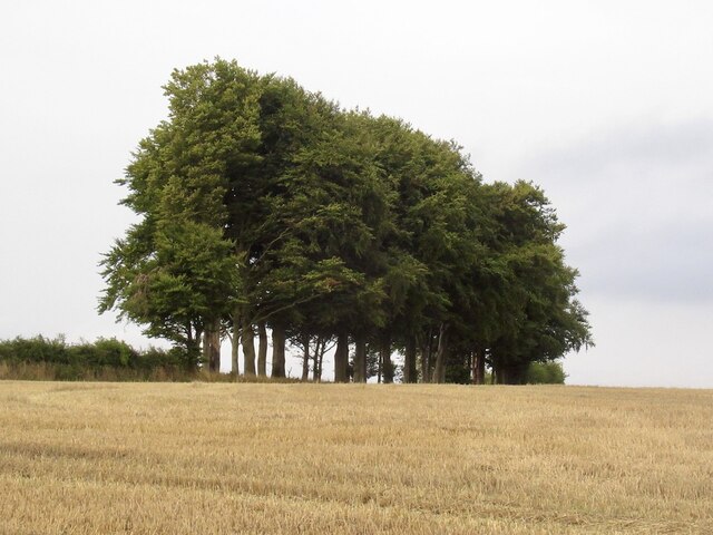
Quarry Bottom Images

Images are sourced within 2km of 50.977251/-2.1112359 or Grid Reference ST9219. Thanks to Geograph Open Source API. All images are credited.

Diversion sign, B3081 This road was once familiar, a regular route to orienteering events in eastern Dorset and the New Forest. Today I was going to visit Ashmore for the first time as I was heading for a crossing of the Stour and the downs beyond.
Diversion sign, B3081
This road was once familiar, a regular route to orienteering events in eastern Dorset and the New Forest. Today I was going to visit Ashmore for the first time as I was heading for a crossing of the Stour and the downs beyond.
Appalling cruelty Funny lot at this end of the island.
Appalling cruelty
Funny lot at this end of the island.
North Road, Ashmore Down
Stubble, Ashmore Down
Dip slope, Ashmore Farmland off North Road.
Dip slope, Ashmore
Farmland off North Road.
Ox Drove Ancient drove road, seen here near Win Green.
Ox Drove
Ancient drove road, seen here near Win Green.
Ox Drove Ancient drove road, seen here on Win Green.
Ox Drove
Ancient drove road, seen here on Win Green.
Ox Drove Ancient drove road, seen here on Win Green, with the summit clump of Beech trees on the right.
Ox Drove
Ancient drove road, seen here on Win Green, with the summit clump of Beech trees on the right.
Win Green Clump The clump of Beech trees on the summit of Win Green, the highest point on Cranborne Chase, with the trig point on the right.
Win Green Clump
The clump of Beech trees on the summit of Win Green, the highest point on Cranborne Chase, with the trig point on the right.
Win Green Clump The clump of Beech trees on the summit of Win Green, the highest point on Cranborne Chase, with the toposcope in the centre and the trig point on the right.
Win Green Clump
The clump of Beech trees on the summit of Win Green, the highest point on Cranborne Chase, with the toposcope in the centre and the trig point on the right.
Win Green Clump Looking out from the clump of Beech trees on the summit of Win Green, the highest point on Cranborne Chase, with the toposcope right of centre and the trig point left of centre.
Win Green Clump
Looking out from the clump of Beech trees on the summit of Win Green, the highest point on Cranborne Chase, with the toposcope right of centre and the trig point left of centre.
Toposcope, Win Green The toposcope on the summit of Win Green, the highest point on Cranborne Chase, highlighting the extensive view in all directions.
Toposcope, Win Green
The toposcope on the summit of Win Green, the highest point on Cranborne Chase, highlighting the extensive view in all directions.
Win Green The high point of Cranbourne Chase seen from Winkelbury Hill.
Win Green
The high point of Cranbourne Chase seen from Winkelbury Hill.
Ox Drove, Monk's Down The tarred road leaves the ridge here, as chalk track the Ox Drove continues over Win Green.
Ox Drove, Monk's Down
The tarred road leaves the ridge here, as chalk track the Ox Drove continues over Win Green.
Ox Drove The chalk track continues on the right over Win Green.
Ox Drove
The chalk track continues on the right over Win Green.
Ox Drove Between Monk's Drove and Win Green.
Ox Drove
Between Monk's Drove and Win Green.
Win Green View from the Ox Drove of the highest point on Cranbourne Chase.
Win Green
View from the Ox Drove of the highest point on Cranbourne Chase.
Ox Drove
Ox Drove
Show me another place!

Quarry Bottom is located at Grid Ref: ST9219 (Lat: 50.977251, Lng: -2.1112359)

Unitary Authority: Wiltshire

Police Authority: Wiltshire

What 3 Words

///shout.fault.upward. Near Shaftesbury, Dorset

Related Wikis

Win Green Down

Win Green Down at grid reference ST927209 in south-western Wiltshire, England is a 26.0 hectares (64 acres) biological Site of Special Scientific Interest...

Ashcombe House, Wiltshire

Ashcombe House, also known as Ashcombe Park, is a Georgian manor house, set in 1,134 acres (4.59 km2) of land on Cranborne Chase in the parish of Berwick...

Ashmore

Ashmore is a village and civil parish in the North Dorset district of Dorset, England, 20 miles (32 kilometres) southwest of Salisbury. The village is...

Rotherley Downs

Rotherley Downs (grid reference ST946196) is a 120.05 hectare biological Site of Special Scientific Interest in Wiltshire, England, notified in 1989. The...

Have you been to Quarry Bottom?

Leave your review of Quarry Bottom below (or comments, questions and feedback).