Shirkley Wood
Wood, Forest in Staffordshire Staffordshire Moorlands
England
Shirkley Wood
Shirkley Wood is a picturesque woodland located in Staffordshire, England. Covering an area of approximately 100 acres, this enchanting forest offers visitors a tranquil retreat from the bustling city life. The wood is situated near the charming village of Shirkley, making it easily accessible for both locals and tourists.
The woodland is characterized by its diverse range of trees, including oak, beech, and ash, which create a dense canopy, providing shade and shelter for various wildlife species. Visitors can enjoy leisurely walks along the well-maintained paths that wind through the forest, immersing themselves in the natural beauty that surrounds them.
Shirkley Wood is home to an abundance of wildlife, making it a popular spot for nature enthusiasts and birdwatchers. Visitors may catch a glimpse of deer, foxes, badgers, and a variety of bird species such as woodpeckers and owls. The wood also boasts a rich flora, with bluebells carpeting the forest floor during the spring months, creating a stunning visual display.
For those seeking a more active experience, Shirkley Wood offers opportunities for outdoor activities such as hiking, cycling, and picnicking. The forest is equipped with picnic areas and benches, allowing visitors to relax and enjoy the peaceful surroundings.
Overall, Shirkley Wood is a hidden gem in Staffordshire, offering a natural haven for individuals to connect with nature and escape the demands of everyday life. With its diverse wildlife, scenic beauty, and recreational amenities, it is a must-visit destination for anyone seeking a peaceful retreat in the heart of nature.
If you have any feedback on the listing, please let us know in the comments section below.
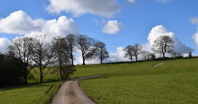
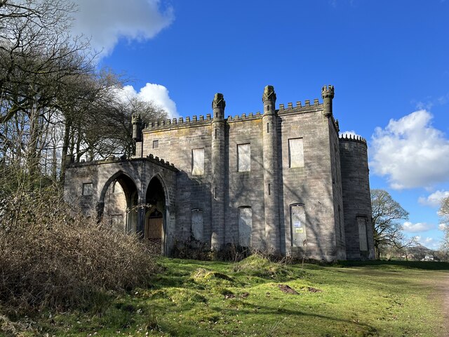
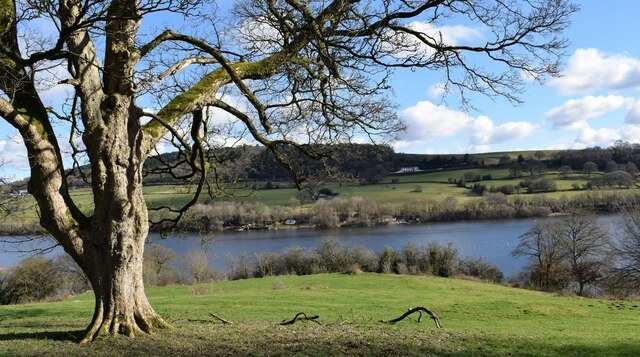
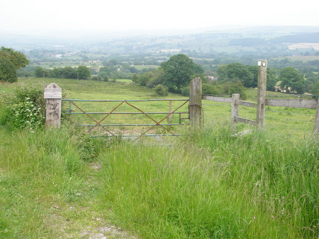
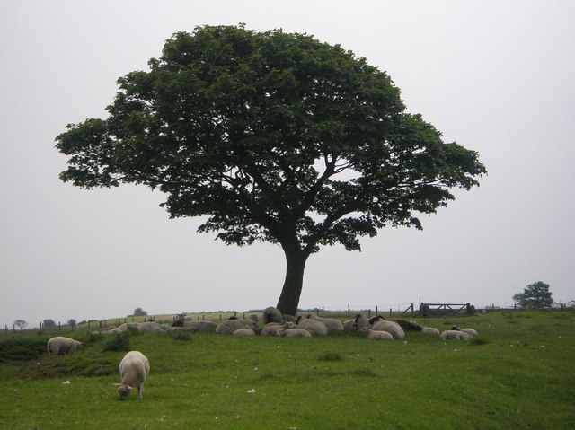
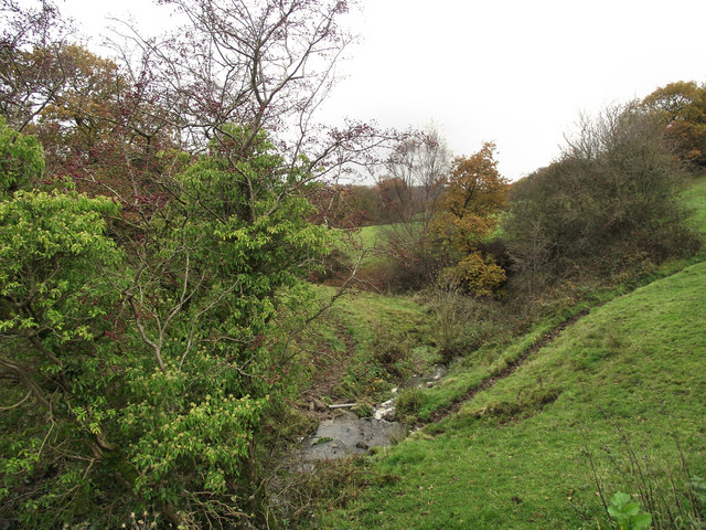
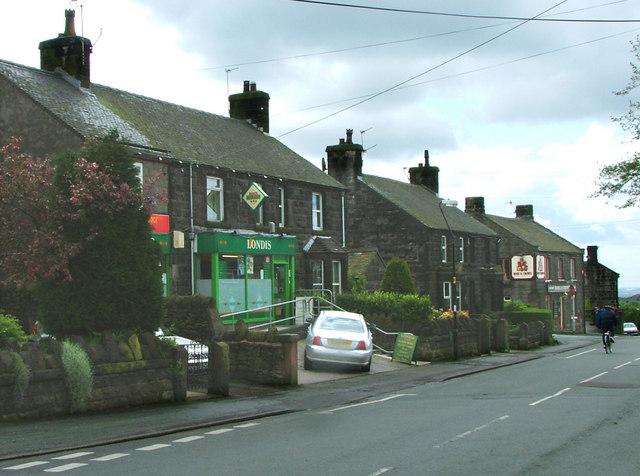
Shirkley Wood Images
Images are sourced within 2km of 53.130874/-2.1194348 or Grid Reference SJ9259. Thanks to Geograph Open Source API. All images are credited.


Shirkley Wood is located at Grid Ref: SJ9259 (Lat: 53.130874, Lng: -2.1194348)
Administrative County: Staffordshire
District: Staffordshire Moorlands
Police Authority: Staffordshire
What 3 Words
///conducted.discusses.paddocks. Near Biddulph, Staffordshire
Nearby Locations
Related Wikis
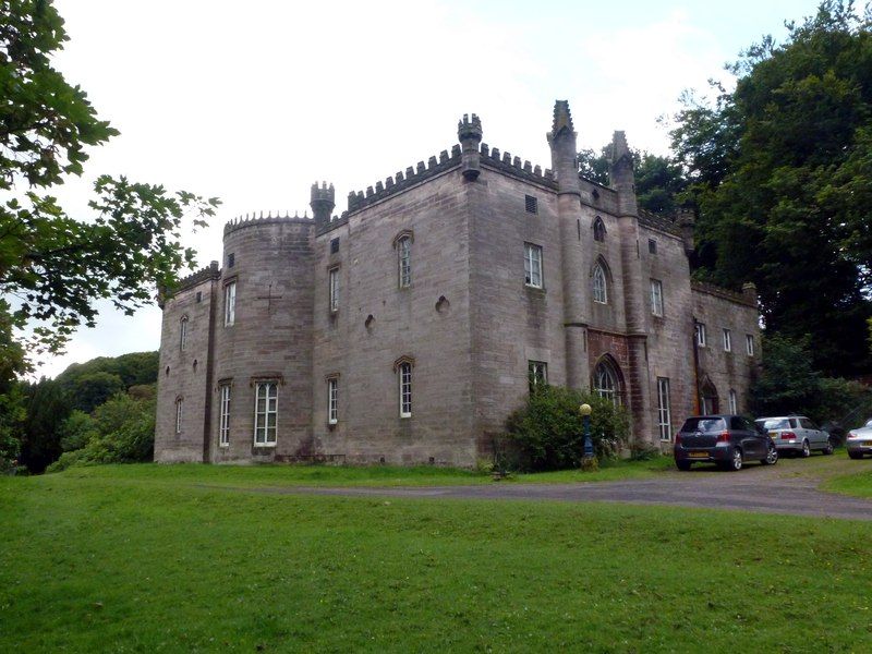
Cliffe Park Hall
Cliffe Park Hall is a country house near Rudyard in Staffordshire, England. During its 200-year history, it has been a private residence, a golf club...
Biddulph Moor
Biddulph Moor is a village located on the hill which bears the same name. It is in Biddulph parish and is a part of the Staffordshire Moorlands district...

Rudyard Lake
Rudyard Lake is a reservoir in Rudyard, Staffordshire, located north-west of the town of Leek, Staffordshire. It was constructed in the late 18th century...

Biddulph Grange Country Park
Biddulph Grange Country Park is a country park in Biddulph, UK. It was originally part of Biddulph Grange. == Contents == The 73 acres (0.30 km2) park...
Nearby Amenities
Located within 500m of 53.130874,-2.1194348Have you been to Shirkley Wood?
Leave your review of Shirkley Wood below (or comments, questions and feedback).