Dalehouse Wood
Wood, Forest in Staffordshire Staffordshire Moorlands
England
Dalehouse Wood
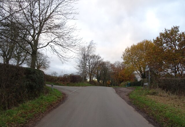
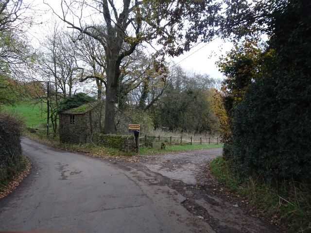
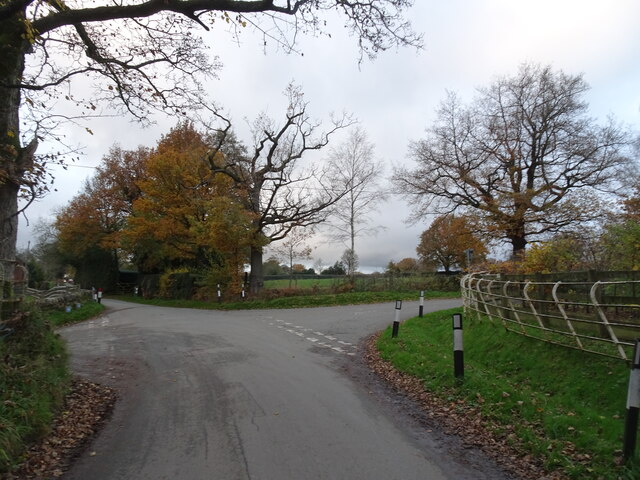
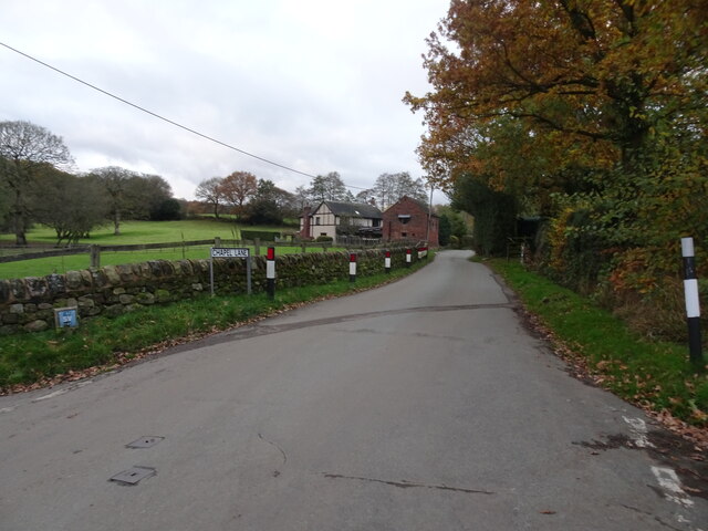
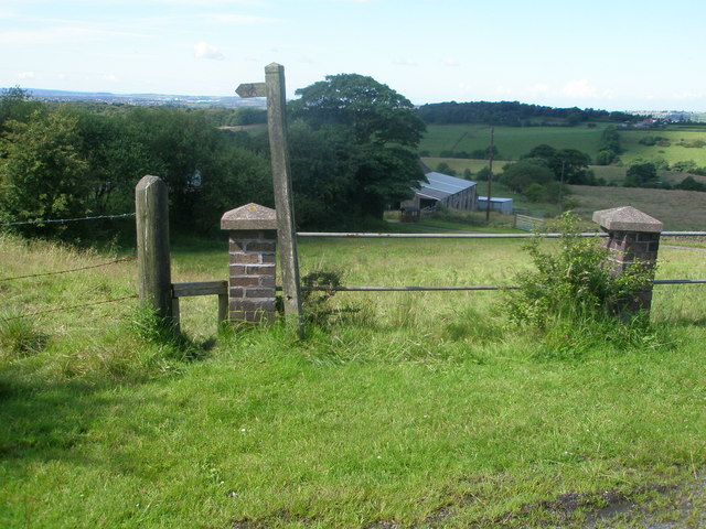
Dalehouse Wood, located in Staffordshire, England, is a picturesque forest that covers an area of approximately 50 acres. This enchanting woodland is nestled in the heart of the Staffordshire Moorlands, providing a tranquil escape for nature enthusiasts and walkers alike.
The wood is predominantly composed of native broadleaf trees, such as oak, beech, and birch, which create a dense canopy overhead, offering shade and shelter to a wide range of flora and fauna. The forest floor is carpeted with a rich assortment of wildflowers, including bluebells, primroses, and wood anemones, which bloom in vibrant colors during the spring months.
Dalehouse Wood is intersected by a network of well-maintained footpaths and trails, allowing visitors to explore the area at their own pace. As they meander through the woodland, visitors may encounter an array of wildlife, including squirrels, rabbits, and various bird species. The forest also provides a habitat for rarer species, such as the great spotted woodpecker and the red fox.
In addition to its natural beauty, Dalehouse Wood is home to several historical features. Within the forest, there are remnants of old stone walls and boundaries, which hint at its past use as a hunting ground for the nearby manor house. These remnants serve as a reminder of the wood's long-standing connection to the local community.
Overall, Dalehouse Wood is a captivating and diverse forest, offering visitors a chance to immerse themselves in the wonders of nature while enjoying the rich history of the area.
If you have any feedback on the listing, please let us know in the comments section below.
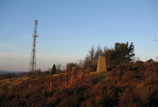
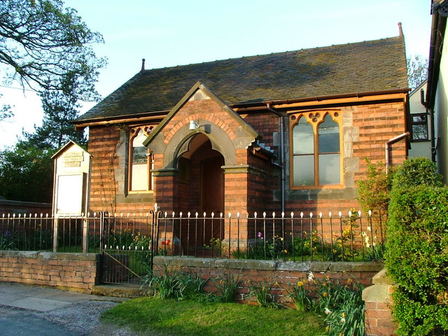
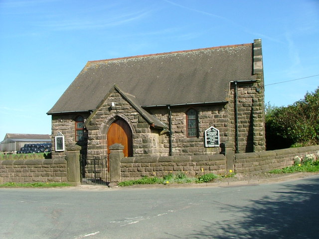
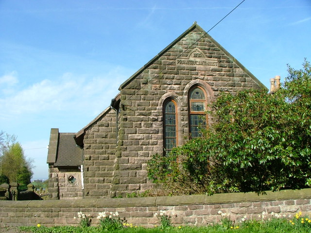
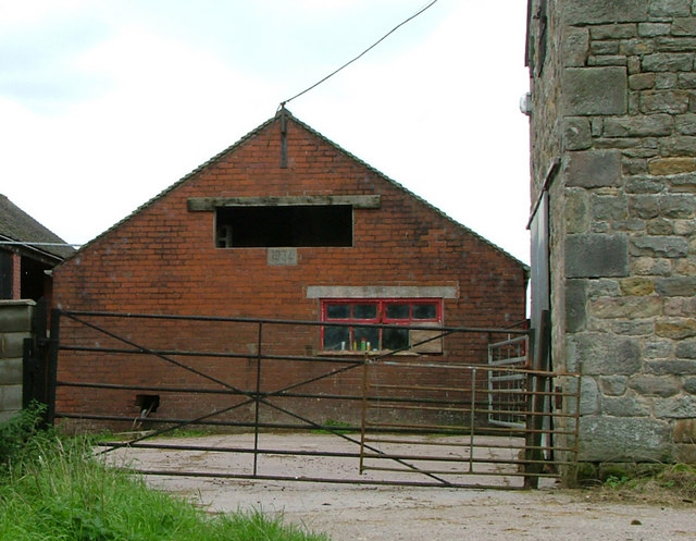
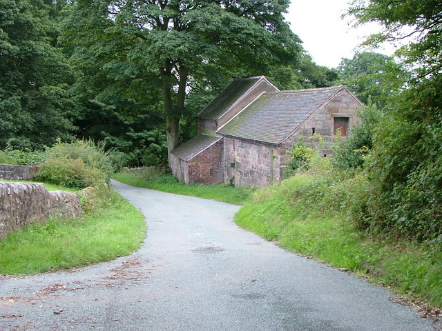
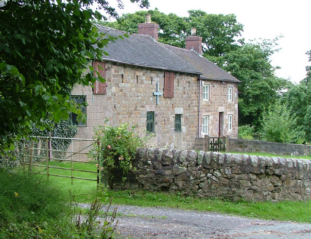
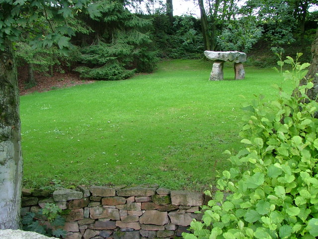
Dalehouse Wood Images
Images are sourced within 2km of 53.098838/-2.127291 or Grid Reference SJ9155. Thanks to Geograph Open Source API. All images are credited.

Dalehouse Wood is located at Grid Ref: SJ9155 (Lat: 53.098838, Lng: -2.127291)
Administrative County: Staffordshire
District: Staffordshire Moorlands
Police Authority: Staffordshire
What 3 Words
///blatantly.duos.remainder. Near Biddulph, Staffordshire
Nearby Locations
Related Wikis
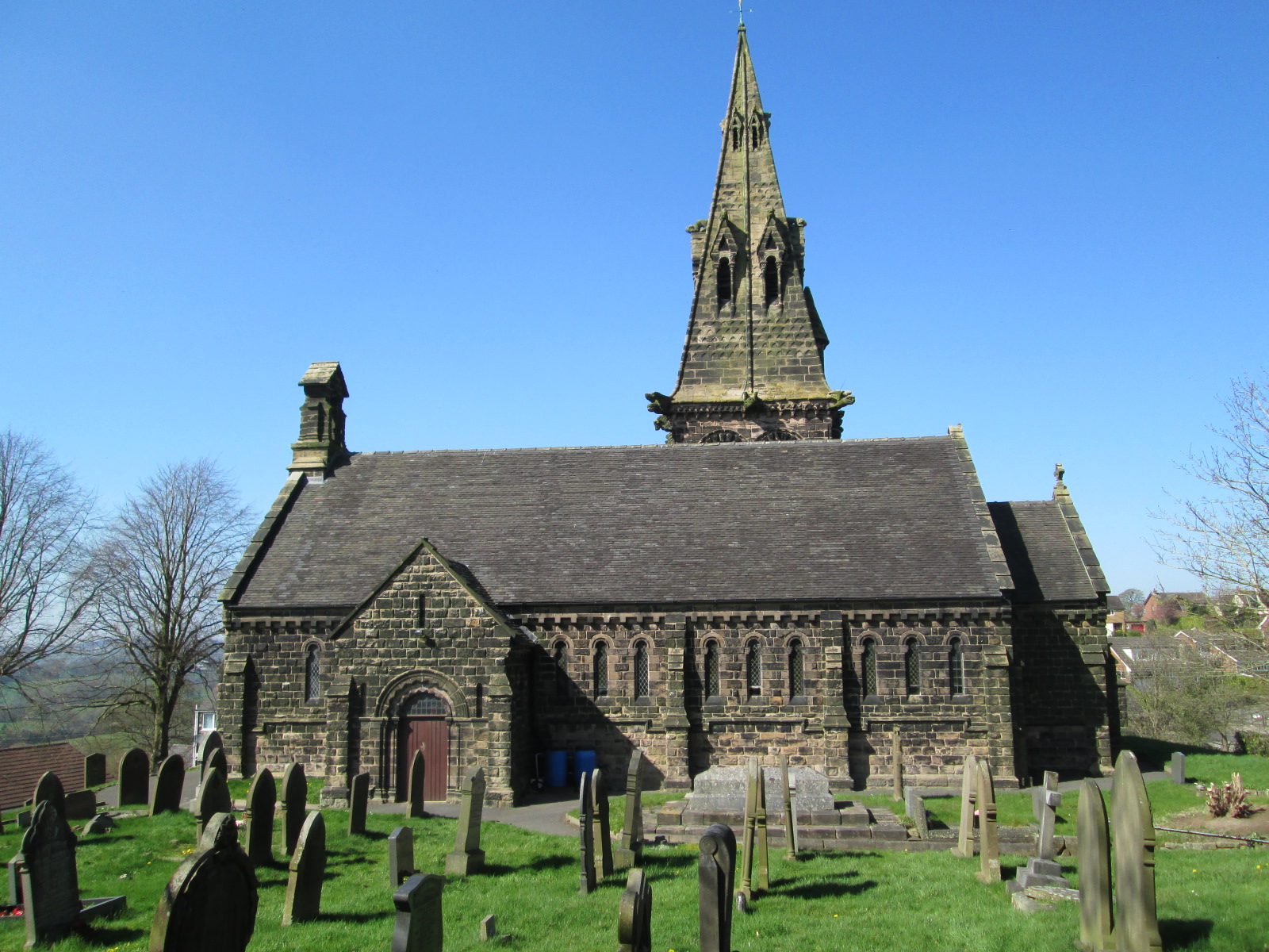
St Anne's Church, Brown Edge
St Anne's Church is an Anglican church in Brown Edge, Staffordshire, England, and in the Diocese of Lichfield. The building is Grade II listed. == History... ==

The Ashes, Endon
The Ashes near Endon in Staffordshire is a building of historical significance and is Grade II* listed on the English Heritage Register. It was built in...

Knypersley Reservoir
Knypersley Reservoir near Biddulph, Staffordshire, England, was built in 1827 to supply water to the Caldon Canal, along with two others at Stanley Pool...

St Luke's Church, Endon
St Luke's Church is an Anglican church in Endon, Staffordshire, England, and in the Diocese of Lichfield. The building, dating originally from about 1720...
Endon
Endon is a village within the Staffordshire Moorlands district of Staffordshire, England. It is 4 miles (6.4 km) southwest of Leek and 6 miles (9.7 km...
Biddulph Moor
Biddulph Moor is a village located on the hill which bears the same name. It is in Biddulph parish and is a part of the Staffordshire Moorlands district...

Brown Edge
Brown Edge is a village and civil parish in the Staffordshire Moorlands district of Staffordshire, England. According to the 2001 census it had a population...

Biddulph High School
Biddulph High School is a mixed upper school (termed 'high school') and sixth form located in the Knypersley area of Biddulph in the English county of...
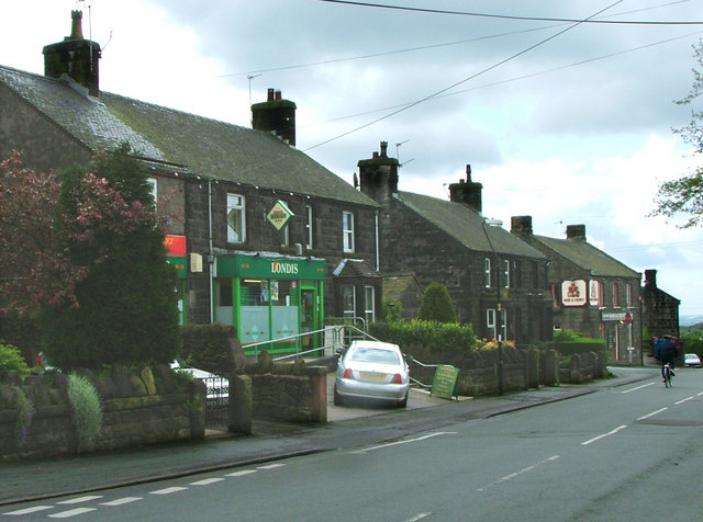
Nearby Amenities
Located within 500m of 53.098838,-2.127291Have you been to Dalehouse Wood?
Leave your review of Dalehouse Wood below (or comments, questions and feedback).