Mill Rough

Wood, Forest in Worcestershire Wychavon

England

Mill Rough

Ramsden crossroads
Ramsden crossroads Credit: Peter Whatley

Mill Rough is a small wooded area located in Worcestershire, England. Situated in the heart of the county, this forested region covers an approximate area of 100 acres. The area is known for its natural beauty, with a diverse range of flora and fauna thriving within its boundaries.

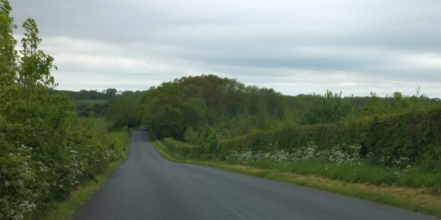
The woodland consists primarily of deciduous trees such as oak, beech, and ash, which provide a stunning array of colors during the autumn season. The forest floor is adorned with a variety of wildflowers and ferns, creating a picturesque landscape that attracts nature enthusiasts and hikers alike.

Mill Rough is also home to a number of wildlife species. Visitors may catch a glimpse of red foxes, badgers, and rabbits, as well as a variety of bird species including woodpeckers, jays, and owls. The forest's tranquil atmosphere provides a haven for these creatures, making it a popular spot for birdwatching and wildlife photography.

The woodland is crisscrossed with several walking trails, allowing visitors to explore the area at their own pace. These trails range from easy strolls to more challenging hikes, catering to all levels of fitness and experience. Along the way, there are several designated picnic areas and benches, providing opportunities to rest and soak in the serenity of the surroundings.

Mill Rough is a cherished natural gem in Worcestershire, offering visitors a chance to escape the hustle and bustle of everyday life and immerse themselves in the beauty of nature. Whether it's a leisurely walk or a peaceful picnic, this woodland provides a tranquil retreat for all who venture into its depths.

If you have any feedback on the listing, please let us know in the comments section below.
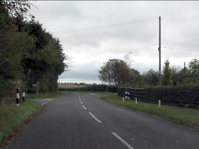
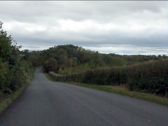
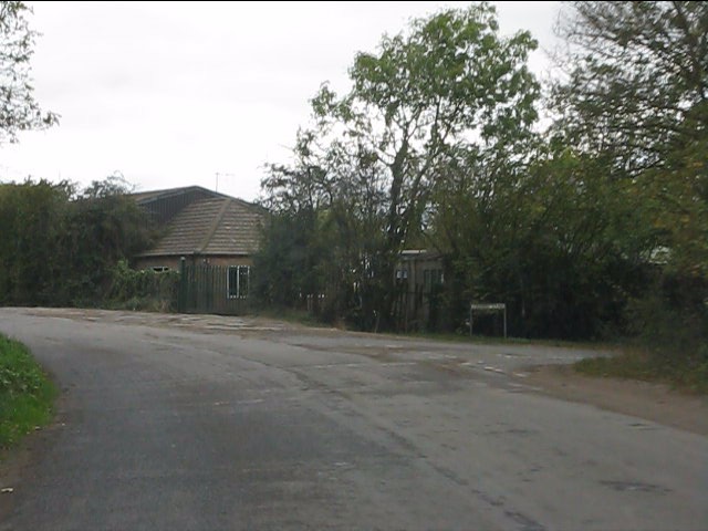
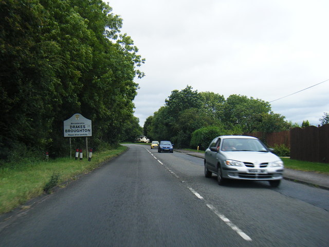
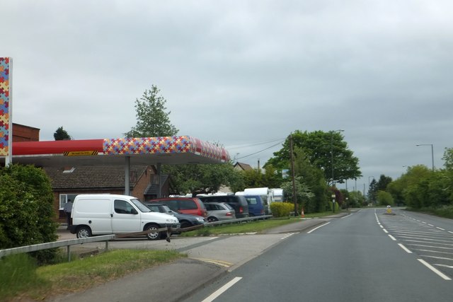
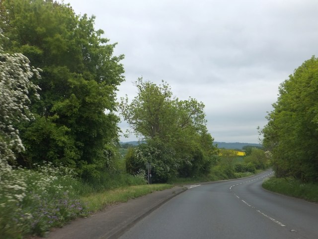
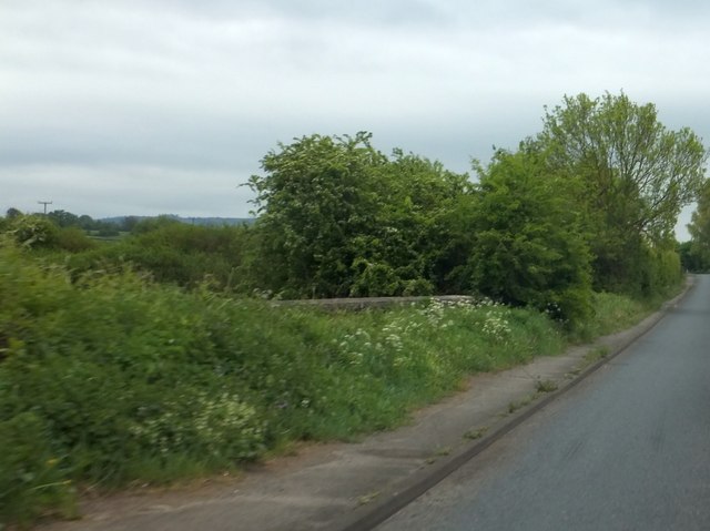
Mill Rough Images

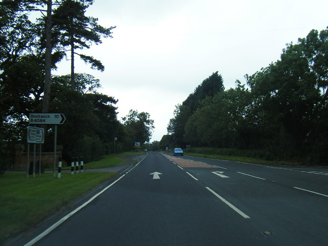
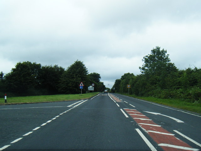
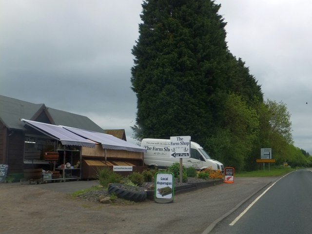
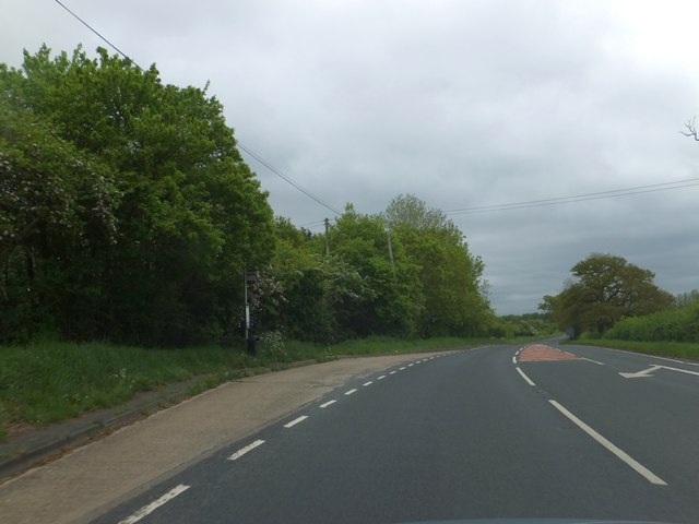
Images are sourced within 2km of 52.131327/-2.124466 or Grid Reference SO9148. Thanks to Geograph Open Source API. All images are credited.

Ramsden crossroads
Ramsden crossroads
View from the summit west of Ramsden
Crabbe Lane junction
B4084 at Drakes Broughton boundary
B4084 south of Windmill Hill
B4084 approaching Stoulton village boundary
Farm shop on B4084 at Windmill Hill
Bus stop on B4084 at Windmill Hill The road is marked for the turning to the village of Windmill Hill, a short distance north of the main road to Pershore.  This stop serves the village.
Bus stop on B4084 at Windmill Hill
The road is marked for the turning to the village of Windmill Hill, a short distance north of the main road to Pershore. This stop serves the village.
Garage on B4084 at Drake's Broughton
B4084 descending to Ufnell Bridge The turning on the left is for a minor road to the southern edge of Drake's Broughton.  Bredon Hill is on the horizon
B4084 descending to Ufnell Bridge
The turning on the left is for a minor road to the southern edge of Drake's Broughton. Bredon Hill is on the horizon
Ufnell Bridge The parapet beside the B4084 is almost hidden by the wild flowers
Ufnell Bridge
The parapet beside the B4084 is almost hidden by the wild flowers
Woodland west of Ramsden This minor road is named Rebecca Road
Woodland west of Ramsden
This minor road is named Rebecca Road
Woodland at the junction of Rebecca Road and Crabbe Lane One of the local buildings is The Crabbe - hence the name of the lane on the right.  The footpath on the left is part of the Millennium Way
Woodland at the junction of Rebecca Road and Crabbe Lane
One of the local buildings is The Crabbe - hence the name of the lane on the right. The footpath on the left is part of the Millennium Way
Oak by Chevington Lane After five years have elapsed after the previous photograph for this square, I come along and take almost exactly the same shot as Phil Halling - <a href="https://www.geograph.org.uk/photo/924781">SO9147 : Chevington Lane</a>.
Oak by Chevington Lane
After five years have elapsed after the previous photograph for this square, I come along and take almost exactly the same shot as Phil Halling - SO9147 : Chevington Lane.
Brickyard Lane Looking north-west towards Drakes Broughton.
Brickyard Lane
Looking north-west towards Drakes Broughton.
Footpath to Drakes Broughton The path heads north over pasture land.
Footpath to Drakes Broughton
The path heads north over pasture land.
Old stubble field View north from Chevington Lane; the cottages are at the entrance to Caddicroft Farm which itself is hidden in the trees in the distance.
Old stubble field
View north from Chevington Lane; the cottages are at the entrance to Caddicroft Farm which itself is hidden in the trees in the distance.
Field-edge footpath East towards Pershore from Chevington Lane.
Field-edge footpath
East towards Pershore from Chevington Lane.
Show me another place!

Mill Rough is located at Grid Ref: SO9148 (Lat: 52.131327, Lng: -2.124466)

Administrative County: Worcestershire

District: Wychavon

Police Authority: West Mercia

What 3 Words

///truffles.took.fairy. Near Pershore, Worcestershire

Nearby Locations

Mill Rough Dufty Coppice

Related Wikis

Drakes Broughton

Drakes Broughton is a village in Worcestershire, England. The village is located on the B4084 road (previously the A44) 2 miles north-west of Pershore...

Wadborough

Wadborough is a small village 2 miles outside Pershore and 7 miles from Worcester. The village is in Worcestershire, England. The village is an old farming...

Hawbridge

Hawbridge is a village in Worcestershire, England. == References ==

Stoulton railway station

Stoulton railway station was a station to the northwest of Drakes Broughton, Worcestershire, England. The station was opened in 1899 and closed in 1966...

Ramsden, Worcestershire

Ramsden is a hamlet in the English county of Worcestershire. Ramsden is located due west of the town of Pershore. It lies on the Regional Cycle Route 46...

Stoulton

Stoulton or Stoughton is a village and civil parish about 5 miles south west of Worcester, in the Wychavon district, in the county of Worcestershire, England...

Wadborough railway station

Wadborough railway station was located in Wadborough, Worcestershire. It opened in 1841 and closed in January 1965. It was situated to the west on the...

Besford Bridge

Besford Bridge is a village in Worcestershire, England.

Nearby Amenities

Located within 500m of 52.131327,-2.124466
Power: pole
Lat/Long: 52.1317815/-2.1173586
Caddcroft North
Power: pole
Transformer: distribution
Voltage Primary: 11000
Lat/Long: 52.1301111/-2.1178139
Power: pole
Lat/Long: 52.130573/-2.1179245
Power: pole
Lat/Long: 52.1314135/-2.1182558
Power: pole
Lat/Long: 52.1309805/-2.1192616
Power: pole
Lat/Long: 52.130559/-2.1202433
Mill Rough
Power: pole
Transformer: distribution
Voltage Primary: 11000
Lat/Long: 52.131262/-2.1231683
Power: pole
Lat/Long: 52.1306668/-2.122094
Power: pole
Lat/Long: 52.1301626/-2.1211526
Power: pole
Lat/Long: 52.1297868/-2.1220149
Power: pole
Lat/Long: 52.1291185/-2.1272001
Power: pole
Lat/Long: 52.1296885/-2.1275515
Power: pole
Lat/Long: 52.1302504/-2.1279203
Power: pole
Lat/Long: 52.1299391/-2.1231106
Power: pole
Lat/Long: 52.1296345/-2.1243739
Power: pole
Lat/Long: 52.1293422/-2.1255997
Power: pole
Lat/Long: 52.1306216/-2.1281317
Caldewell Mill
Power: pole
Transformer: distribution
Voltage Primary: 11000
Lat/Long: 52.13133/-2.1272962
Power: pole
Lat/Long: 52.1310702/-2.1279748
Power: pole
Lat/Long: 52.130822/-2.1286185
Power: pole
Lat/Long: 52.1313938/-2.1299985
Caldewell House
Power: pole
Transformer: distribution
Voltage Primary: 11000
Lat/Long: 52.1343186/-2.1289457
Power: pole
Lat/Long: 52.1334321/-2.1293642
Power: pole
Lat/Long: 52.1327064/-2.1299563
Power: pole
Lat/Long: 52.1319713/-2.1305712
Power: pole
Lat/Long: 52.1312497/-2.1311579
The data included in this document is from www.openstreetmap.org. The data is made available under ODbL.

Have you been to Mill Rough?

Leave your review of Mill Rough below (or comments, questions and feedback).