Lowhill Coppice

Wood, Forest in Worcestershire Wychavon

England

Lowhill Coppice

Gate and farmland near Breach Farm
Gate and farmland near Breach Farm Credit: Steve Fareham

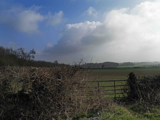
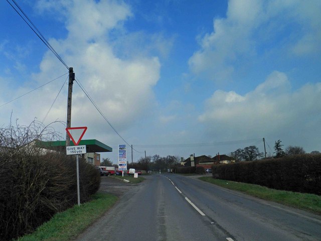
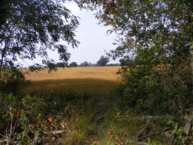
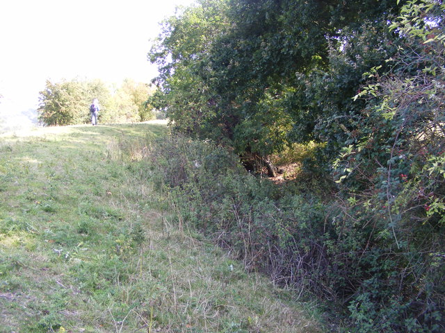
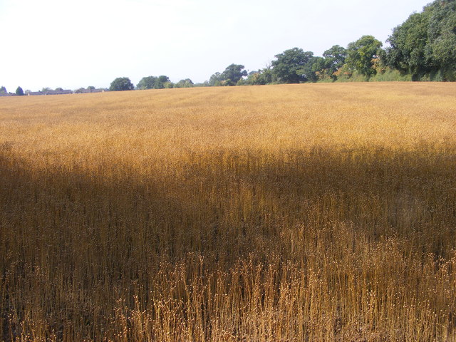
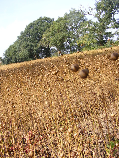
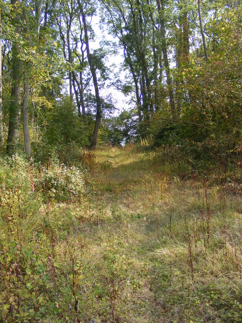
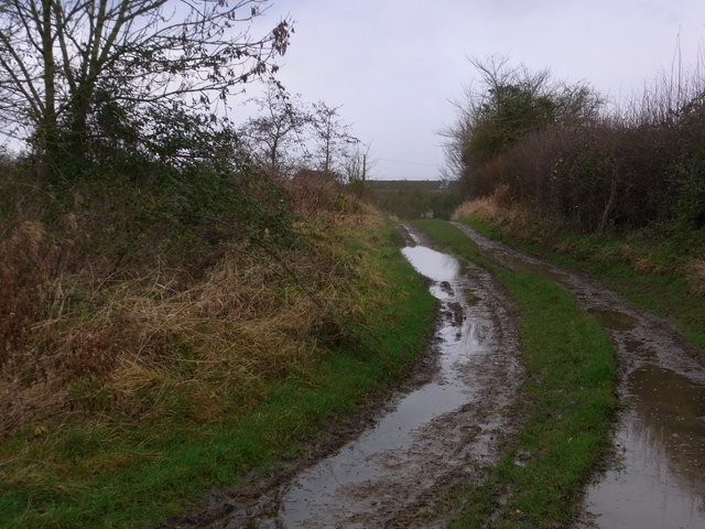
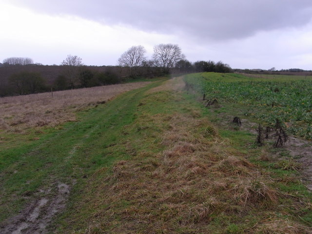
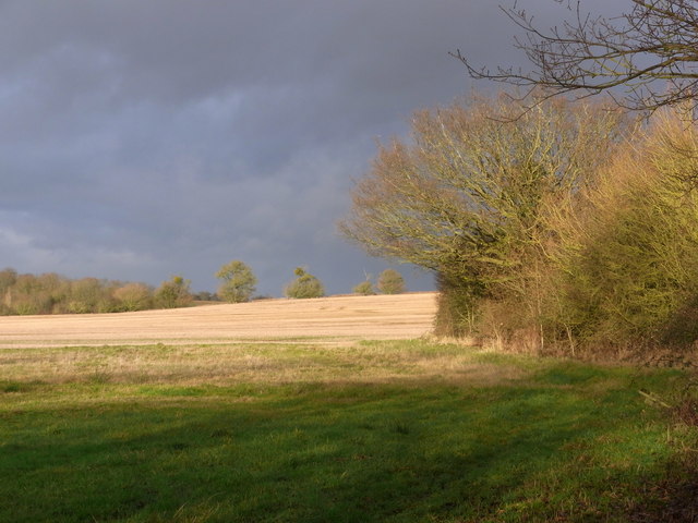
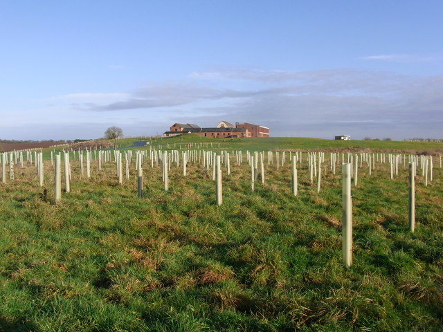
Lowhill Coppice is a picturesque woodland located in the county of Worcestershire, England. Covering an area of approximately 300 acres, the coppice is characterized by its dense tree cover and diverse range of flora and fauna. It is situated on the outskirts of the village of Lowhill, hence its name.

The woodland is predominantly composed of broadleaf trees, such as oak, ash, beech, and birch, which create a lush and vibrant canopy that provides shade and shelter to the forest floor. The ground beneath is covered in a rich carpet of mosses, ferns, and wildflowers, adding to the area's natural beauty.

Lowhill Coppice is renowned for its biodiversity, attracting nature enthusiasts and birdwatchers from near and far. It is home to a variety of bird species, including woodpeckers, warblers, and owls, which can be spotted perched on tree branches or heard singing their melodious tunes. The woodland also provides a habitat for mammals such as foxes, badgers, and deer, adding to the ecological significance of the area.

Visitors to Lowhill Coppice can explore its numerous walking trails and enjoy the tranquility of nature. The woodland is a popular destination for recreational activities such as hiking, birdwatching, and photography. It offers a serene escape from the hustle and bustle of everyday life, providing an ideal setting for relaxation and contemplation.

Overall, Lowhill Coppice is a charming woodland, offering a haven for wildlife and a peaceful retreat for visitors seeking solace in nature's embrace.

If you have any feedback on the listing, please let us know in the comments section below.

Lowhill Coppice Images

Images are sourced within 2km of 52.165329/-2.1246196 or Grid Reference SO9151. Thanks to Geograph Open Source API. All images are credited.

Gate and farmland near Breach Farm
Give way sign and Egdon garage The garage specialises in 4x4's.
Give way sign and Egdon garage
The garage specialises in 4x4's.
Out of the Wood The view from the Marshes Wood near Sneachill.
Out of the Wood
The view from the Marshes Wood near Sneachill.
Churchill Church The view of St Michael Church in the village of Churchill.
Churchill Church
The view of St Michael Church in the village of Churchill.
Moat View The view of the Moat bank at Churchill village.
Moat View
The view of the Moat bank at Churchill village.
Strange Crop The view of the field next to the Marshes Wood near Churchill. The seed crop is Camelina sativa i think.
Strange Crop
The view of the field next to the Marshes Wood near Churchill. The seed crop is Camelina sativa i think.
Strange Crop detail The detail view of the field crop next to the Marshes Wood near Churchill. The seed crop is Camelina sativa i think.
Strange Crop detail
The detail view of the field crop next to the Marshes Wood near Churchill. The seed crop is Camelina sativa i think.
Woodland Path The view of the path through Marshes Wood near Churchill.
Woodland Path
The view of the path through Marshes Wood near Churchill.
Bridleway from Upper Wolverton Farm
Track between fields is a footpath Game-cover crop on the right.
Track between fields is a footpath
Game-cover crop on the right.
Recent repairs to the railway bridge abutments Continuous, if slow, settlement in the area has resulted in many repairs being necessary. The horizontal markers are there to monitor any further movement. These are dated 17 and 18/12/12. Previous markers are still seen, some broken on the ground.
Recent repairs to the railway bridge abutments
Continuous, if slow, settlement in the area has resulted in many repairs being necessary. The horizontal markers are there to monitor any further movement. These are dated 17 and 18/12/12. Previous markers are still seen, some broken on the ground.
Field north of the footbridge Dramatic winter scene with low sun.
Field north of the footbridge
Dramatic winter scene with low sun.
Mucknell Abbey seen from the footpath The derelict Mucknell Farm was demolished and this Benedictine monastery has been built on the site. Completed in 2010. The whole development is eco-sound for fuel and energy and produces most of the food required. See the official website (<span class="nowrap"><a title="www.mucknellabbey.org.uk" rel="nofollow ugc noopener" href="http://www.mucknellabbey.org.uk">Link</a><img style="margin-left:2px;" alt="External link" title="External link - shift click to open in new window" src="https://s1.geograph.org.uk/img/external.png" width="10" height="10"/></span> ) for details.
Mucknell Abbey seen from the footpath
The derelict Mucknell Farm was demolished and this Benedictine monastery has been built on the site. Completed in 2010. The whole development is eco-sound for fuel and energy and produces most of the food required. See the official website (LinkExternal link ) for details.
Wolverton Hall, Peopleton A tall and quite severe early C18th house. Grade II* listed.
Wolverton Hall, Peopleton
A tall and quite severe early C18th house. Grade II* listed.
Mucknell Abbey Chapel Interior of the new Chapel at Mucknell
Mucknell Abbey Chapel
Interior of the new Chapel at Mucknell
Chapel exterior Dedicated in the Presence of the Archbishop of Canterbury
Chapel exterior
Dedicated in the Presence of the Archbishop of Canterbury
Commemoration stone Marking the occasion
Commemoration stone
Marking the occasion
Oak north of Edwards Lane Worcestershire countryside to the east of Sneachill.
Oak north of Edwards Lane
Worcestershire countryside to the east of Sneachill.
Show me another place!

Lowhill Coppice is located at Grid Ref: SO9151 (Lat: 52.165329, Lng: -2.1246196)

Administrative County: Worcestershire

District: Wychavon

Police Authority: West Mercia

What 3 Words

///vowed.agency.plot. Near Pershore, Worcestershire

Nearby Locations

Lowhill Coppice Egdon

Related Wikis

Egdon

Egdon is a hamlet located in the county of Worcestershire and falls with the civil parish of Stoulton.

White Ladies Aston

White Ladies Aston is a village in the Wychavon local government district of Worcestershire, England, United Kingdom, and also lends its name to the civil...

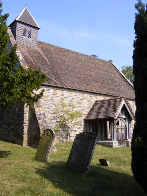
St John the Baptist, White Ladies Aston

St John the Baptist is a church in White Ladies Aston, Worcestershire, England. It has been designated as a Grade II* listed building by Historic England...
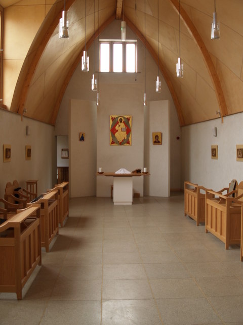
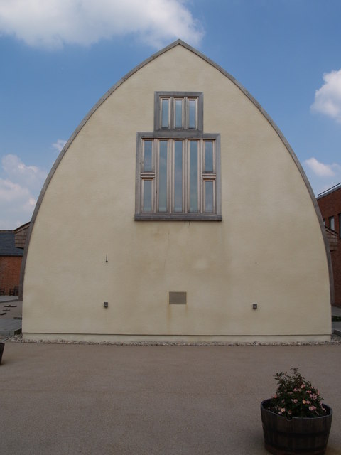
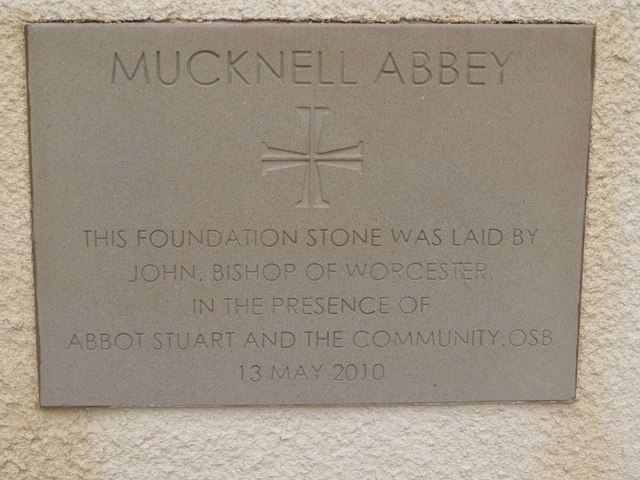
Mucknell Abbey

Mucknell Abbey is an Anglican Benedictine monastery in Worcestershire, England. The community, which formerly lived at Burford, has both male and female...

St Michael's Church, Churchill

St Michael's Church is a redundant Anglican church in the village of Churchill in Oswaldslow, Worcestershire, England. It is recorded in the National...

Churchill, Wychavon

Churchill or Churchill by Spetchley is a village and civil parish 4 miles (6.4 km) from Worcester, in the Wychavon district, in the county of Worcestershire...

Spetchley railway station

Spetchley railway station was an intermediate stop on the Birmingham and Gloucester Railway, opened in 1840. Besides the village of Spetchley, it served...

Stoulton railway station

Stoulton railway station was a station to the northwest of Drakes Broughton, Worcestershire, England. The station was opened in 1899 and closed in 1966...

Nearby Amenities

Located within 500m of 52.165329,-2.1246196
Spetchley Farm Shop and Nursery
Shop: farm
Lat/Long: 52.1643715/-2.1267463
Power: pole
Lat/Long: 52.1614592/-2.1237457
Power: pole
Lat/Long: 52.1618341/-2.1240295
Barrier: stile
Foot: yes
Lat/Long: 52.1647686/-2.1196939
Barrier: stile
Foot: yes
Lat/Long: 52.1647713/-2.1196024
Barrier: entrance
Lat/Long: 52.1655008/-2.1237935
Barrier: entrance
Lat/Long: 52.1692004/-2.1244675
Barrier: entrance
Lat/Long: 52.1668803/-2.1240902
Barrier: stile
Foot: yes
Lat/Long: 52.1650224/-2.1236355
Barrier: yes
Lat/Long: 52.1619473/-2.1233825
Spetchley Fruit Farm
Power: pole
Transformer: distribution
Voltage Primary: 11000
Lat/Long: 52.164725/-2.1272251
The Conifers
Power: pole
Transformer: distribution
Voltage Primary: 11000
Lat/Long: 52.1644815/-2.1269488
Power: pole
Lat/Long: 52.1640661/-2.1264499
Power: pole
Lat/Long: 52.163584/-2.1259189
Power: pole
Lat/Long: 52.1631299/-2.1253824
Power: pole
Lat/Long: 52.1627038/-2.1248728
Wolgrove
Power: pole
Transformer: distribution
Voltage Primary: 11000
Lat/Long: 52.1622044/-2.1243109
The data included in this document is from www.openstreetmap.org. The data is made available under ODbL.

Have you been to Lowhill Coppice?

Leave your review of Lowhill Coppice below (or comments, questions and feedback).