Lowhill Covert

Wood, Forest in Worcestershire Wychavon

England

Lowhill Covert

Give way sign and Egdon garage The garage specialises in 4x4's.
Give way sign and Egdon garage Credit: Steve Fareham

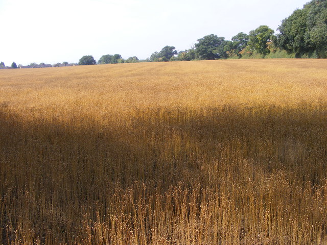
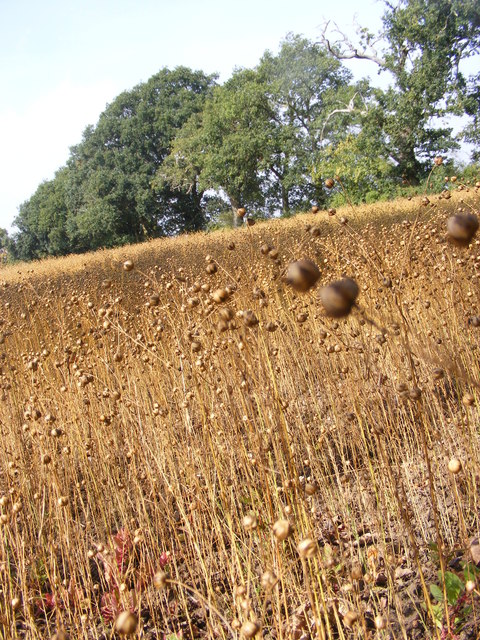
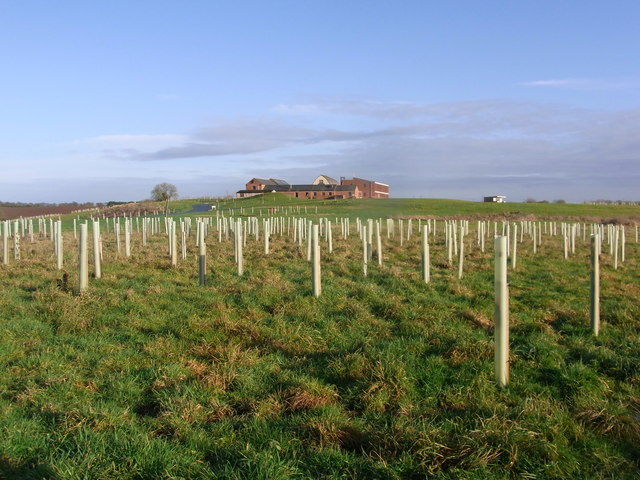
Lowhill Covert is a picturesque woodland area located in Worcestershire, England. Situated in the heart of the county, this tranquil forest covers an extensive area of approximately 100 acres. Surrounded by rolling hills and lush greenery, Lowhill Covert is a haven for nature enthusiasts and outdoor adventurers alike.

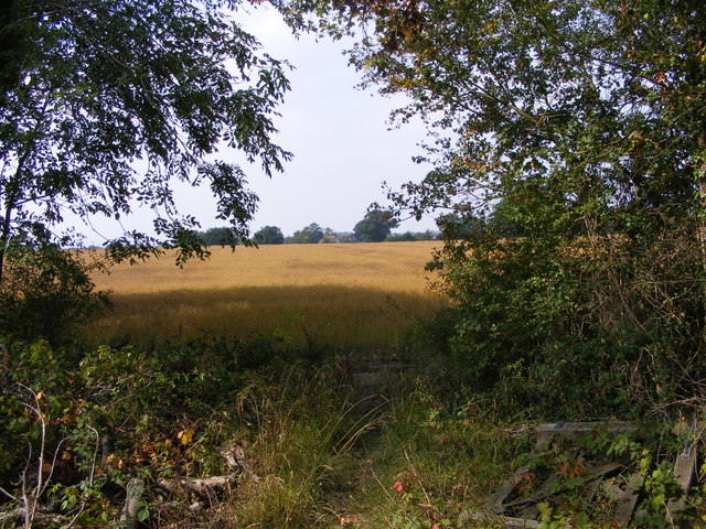
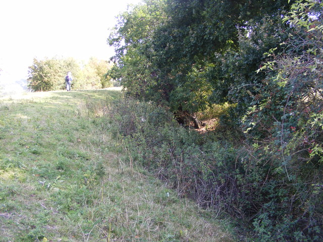
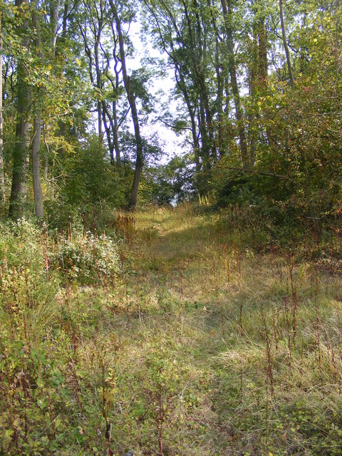
The woodland is predominantly composed of native deciduous trees, including oak, beech, and birch, which provide a stunning spectacle of vibrant colors during the autumn months. The forest floor is adorned with a rich carpet of wildflowers, creating a tapestry of colors and scents that delight visitors throughout the year.

Lowhill Covert is home to a wide variety of wildlife, making it an important habitat for biodiversity in the region. Birdwatchers can spot rare species such as woodpeckers, owls, and various songbirds, while nature lovers may encounter deer, foxes, and badgers roaming freely in their natural habitat.

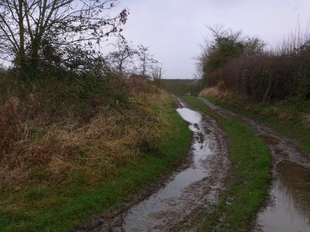
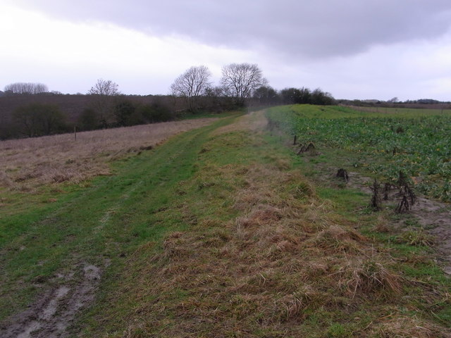
For those seeking to explore the forest, a network of well-maintained footpaths and trails wind their way through the woodland, offering visitors the opportunity to immerse themselves in the beauty of nature. The peaceful ambiance and stunning surroundings make Lowhill Covert an ideal location for walking, hiking, or simply enjoying a leisurely picnic amidst the serenity of the forest.

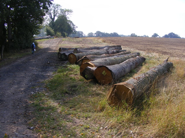
Additionally, the woodland has a rich historical background, with remnants of old stone walls and ancient earthworks scattered throughout the area. These remnants provide glimpses into the past, highlighting the long history of human interaction with the land.

Overall, Lowhill Covert in Worcestershire offers a captivating blend of natural beauty, wildlife, and historical significance, making it a must-visit destination for nature enthusiasts and history buffs alike.

If you have any feedback on the listing, please let us know in the comments section below.

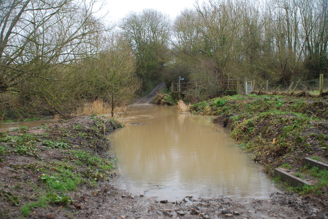
Lowhill Covert Images

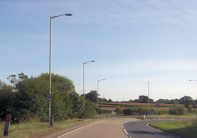
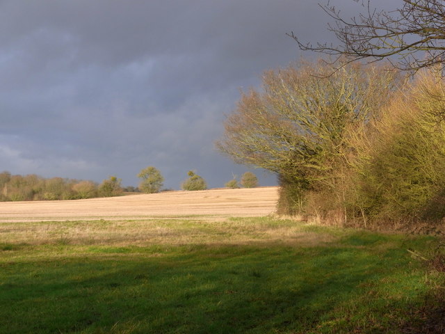
Images are sourced within 2km of 52.169563/-2.1252309 or Grid Reference SO9152. Thanks to Geograph Open Source API. All images are credited.

Give way sign and Egdon garage The garage specialises in 4x4's.
Give way sign and Egdon garage
The garage specialises in 4x4's.
Felled Trees The view alongside the footpath near Churchill Wood.
Felled Trees
The view alongside the footpath near Churchill Wood.
Out of the Wood The view from the Marshes Wood near Sneachill.
Out of the Wood
The view from the Marshes Wood near Sneachill.
Churchill Church The view of St Michael Church in the village of Churchill.
Churchill Church
The view of St Michael Church in the village of Churchill.
Moat View The view of the Moat bank at Churchill village.
Moat View
The view of the Moat bank at Churchill village.
Strange Crop The view of the field next to the Marshes Wood near Churchill. The seed crop is Camelina sativa i think.
Strange Crop
The view of the field next to the Marshes Wood near Churchill. The seed crop is Camelina sativa i think.
Strange Crop detail The detail view of the field crop next to the Marshes Wood near Churchill. The seed crop is Camelina sativa i think.
Strange Crop detail
The detail view of the field crop next to the Marshes Wood near Churchill. The seed crop is Camelina sativa i think.
Woodland Path The view of the path through Marshes Wood near Churchill.
Woodland Path
The view of the path through Marshes Wood near Churchill.
Roundabout at The Crossroads from A4385 Also junction for A44 and A422
Roundabout at The Crossroads from A4385
Also junction for A44 and A422
Sharp bend near Bunks Hall On A422
Sharp bend near Bunks Hall
On A422
Bridleway from Upper Wolverton Farm
Track between fields is a footpath Game-cover crop on the right.
Track between fields is a footpath
Game-cover crop on the right.
Field north of the footbridge Dramatic winter scene with low sun.
Field north of the footbridge
Dramatic winter scene with low sun.
Mucknell Abbey seen from the footpath The derelict Mucknell Farm was demolished and this Benedictine monastery has been built on the site. Completed in 2010. The whole development is eco-sound for fuel and energy and produces most of the food required. See the official website (<span class="nowrap"><a title="www.mucknellabbey.org.uk" rel="nofollow ugc noopener" href="http://www.mucknellabbey.org.uk">Link</a><img style="margin-left:2px;" alt="External link" title="External link - shift click to open in new window" src="https://s1.geograph.org.uk/img/external.png" width="10" height="10"/></span> ) for details.
Mucknell Abbey seen from the footpath
The derelict Mucknell Farm was demolished and this Benedictine monastery has been built on the site. Completed in 2010. The whole development is eco-sound for fuel and energy and produces most of the food required. See the official website (LinkExternal link ) for details.
Mucknell Abbey Chapel Interior of the new Chapel at Mucknell
Mucknell Abbey Chapel
Interior of the new Chapel at Mucknell
Chapel exterior Dedicated in the Presence of the Archbishop of Canterbury
Chapel exterior
Dedicated in the Presence of the Archbishop of Canterbury
Commemoration stone Marking the occasion
Commemoration stone
Marking the occasion
Ford at White Ladies Aston This ford on the Bow Brook is found at Edward's Bridge on the byway known as Edward's Lane near White Ladies Aston.
Ford at White Ladies Aston
This ford on the Bow Brook is found at Edward's Bridge on the byway known as Edward's Lane near White Ladies Aston.
Show me another place!

Lowhill Covert is located at Grid Ref: SO9152 (Lat: 52.169563, Lng: -2.1252309)

Administrative County: Worcestershire

District: Wychavon

Police Authority: West Mercia

What 3 Words

///ruby.into.filed. Near Worcester, Worcestershire

Nearby Locations

Low Hill Lowhill Covert

Related Wikis

White Ladies Aston

White Ladies Aston is a village in the Wychavon local government district of Worcestershire, England, United Kingdom, and also lends its name to the civil...

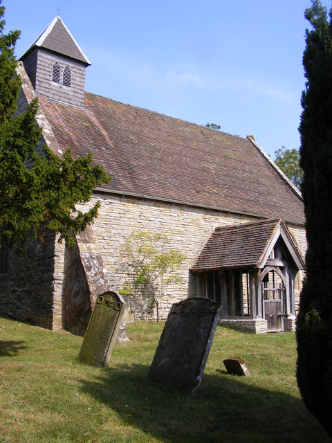
St John the Baptist, White Ladies Aston

St John the Baptist is a church in White Ladies Aston, Worcestershire, England. It has been designated as a Grade II* listed building by Historic England...

Egdon

Egdon is a hamlet located in the county of Worcestershire and falls with the civil parish of Stoulton.

St Michael's Church, Churchill

St Michael's Church is a redundant Anglican church in the village of Churchill in Oswaldslow, Worcestershire, England. It is recorded in the National...

Nearby Amenities

Located within 500m of 52.169563,-2.1252309
Power: pole
Lat/Long: 52.1704416/-2.1274505
Power: pole
Lat/Long: 52.1713819/-2.1229162
Power: pole
Lat/Long: 52.1711099/-2.1242086
Barrier: entrance
Lat/Long: 52.1655008/-2.1237935
Barrier: entrance
Lat/Long: 52.1692004/-2.1244675
Power: pole
Lat/Long: 52.1724584/-2.1203512
Power: pole
Lat/Long: 52.1700736/-2.1301301
Barrier: entrance
Lat/Long: 52.1668803/-2.1240902
Power: pole
Lat/Long: 52.1719175/-2.1216089
Power: pole
Lat/Long: 52.1707788/-2.1258139
Power: pole
Lat/Long: 52.171589/-2.1307691
Power: pole
Lat/Long: 52.1708253/-2.1304472
Aston Green
Power: pole
Transformer: distribution
Voltage Primary: 11000
Lat/Long: 52.1731331/-2.1217588
Power: pole
Lat/Long: 52.172559/-2.121677
Low Hill
Power: pole
Transformer: distribution
Voltage Primary: 11000
Lat/Long: 52.1693002/-2.1297987
Power: pole
Lat/Long: 52.1701482/-2.1287687
Power: pole
Lat/Long: 52.1700372/-2.1307877
Power: pole
Lat/Long: 52.1700273/-2.1310694
The data included in this document is from www.openstreetmap.org. The data is made available under ODbL.

Have you been to Lowhill Covert?

Leave your review of Lowhill Covert below (or comments, questions and feedback).