Black Covert
Wood, Forest in Gloucestershire Cotswold
England
Black Covert
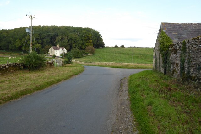
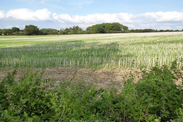
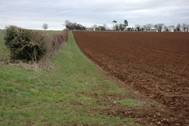
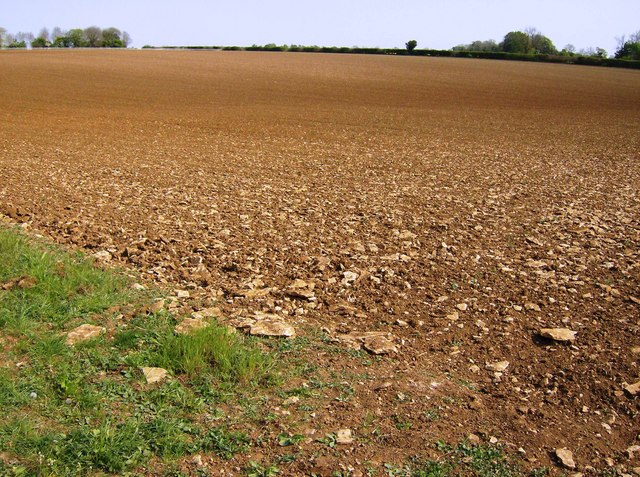
Black Covert is a small woodland area located in Gloucestershire, England. Nestled within the expansive Forest of Dean, it covers an area of approximately 10 acres. The woodland is characterized by its dense canopy of trees, predominantly consisting of oak, beech, and ash, which create a sheltered and secluded atmosphere.
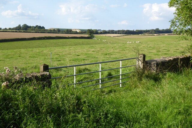
The forest floor is carpeted with a diverse range of flora, including bluebells, wild garlic, and ferns, adding to the natural beauty of the area. The woodland is home to a variety of wildlife, such as squirrels, badgers, and various bird species, making it a popular spot for nature enthusiasts and birdwatchers.
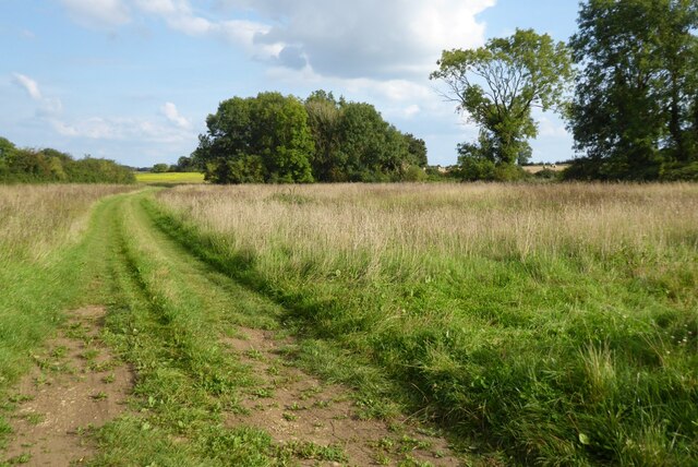
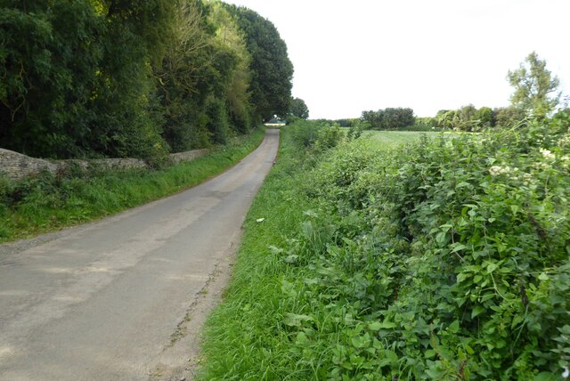
Black Covert is well-known for its tranquil and serene environment, offering visitors a peaceful escape from the bustling urban life. It provides several walking paths and trails, allowing visitors to explore and immerse themselves in the beauty of nature. The woodland also features a small stream that meanders through it, further enhancing its charm.
The forest is managed by the Forestry Commission, ensuring the preservation and conservation of the woodland's natural habitat. The management also focuses on maintaining the woodland's ecological balance, promoting sustainable practices and responsible tourism.
Black Covert is a cherished destination for locals and tourists alike, offering a picturesque setting for outdoor activities such as hiking, picnicking, and photography. Its natural beauty, diverse wildlife, and peaceful ambiance make it a truly enchanting woodland area within the Forest of Dean.
If you have any feedback on the listing, please let us know in the comments section below.
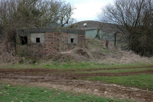
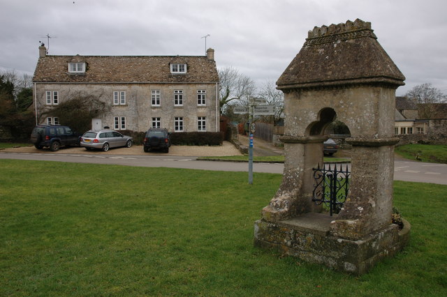
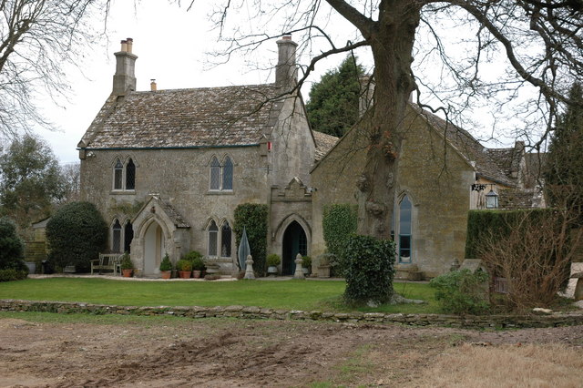
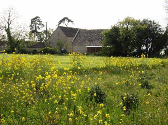
Black Covert Images
Images are sourced within 2km of 51.698024/-2.1239368 or Grid Reference ST9199. Thanks to Geograph Open Source API. All images are credited.


Black Covert is located at Grid Ref: ST9199 (Lat: 51.698024, Lng: -2.1239368)
Administrative County: Gloucestershire
District: Cotswold
Police Authority: Gloucestershire
What 3 Words
///windy.adopters.punt. Near Chalford, Gloucestershire
Nearby Locations
Related Wikis
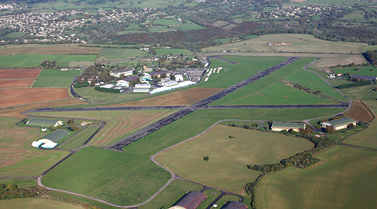
Aston Down
Aston Down is in Gloucestershire, South West England, 2+1⁄2 miles (4 km) east of Minchinhampton, 6 miles (10 km) southeast of Stroud and 7 miles (11 km...

Cherington, Gloucestershire
Cherington is a village and civil parish in the Cotswold District of Gloucestershire, England. It lies under 3 miles south east of Minchinhampton and 4...
Cotswold Gliding Club
The Cotswold Gliding Club (CGC) is based at Aston Down airfield, between Cirencester and Stroud in Gloucestershire, South West England. The club maintains...

Frampton Mansell
Frampton Mansell is a small English village 5 miles (8 km) east-south-east of Stroud, Gloucestershire, in the parish of Sapperton. It lies off the A419...

Chalford railway station
Chalford railway station was situated on the Great Western Railway's Golden Valley Line, between Swindon and Gloucester. It was just east of the bridge...

Three Groves Wood
Three Groves Wood (grid reference SO912029) is a 3.3-hectare (8.2-acre) nature reserve in Gloucestershire. The site is listed in the ‘Stroud District’...
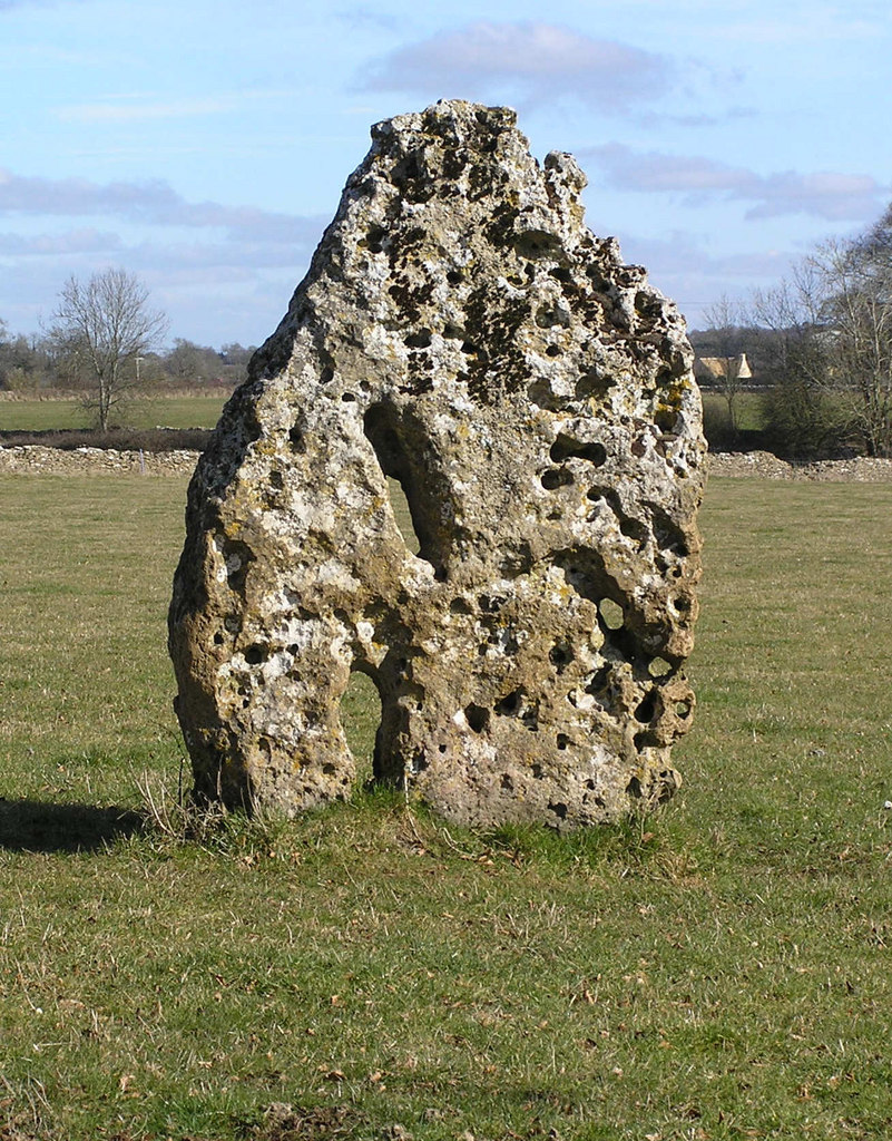
Longstone of Minchinhampton
The Longstone of Minchinhampton (grid reference ST884998) is a standing stone on Minchinhampton Common, Minchinhampton in Gloucestershire, England. The...
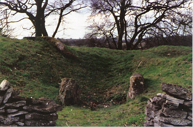
Windmill Tump
Windmill Tump, also known as Rodmarton Chambered Tomb, is a Neolithic burial site, a stone tumulus or barrow. It is a mound covering the site of graves...
Nearby Amenities
Located within 500m of 51.698024,-2.1239368Have you been to Black Covert?
Leave your review of Black Covert below (or comments, questions and feedback).