Low Hill

Hill, Mountain in Worcestershire Wychavon

England

Low Hill

Give way sign and Egdon garage The garage specialises in 4x4's.
Give way sign and Egdon garage Credit: Steve Fareham

Low Hill is a small hill located in the county of Worcestershire, England. Situated in the western part of the county, it forms part of the Malvern Hills Area of Outstanding Natural Beauty. Despite its name, Low Hill is still a notable elevation, although it may be considered small in comparison to the nearby Malvern Hills.

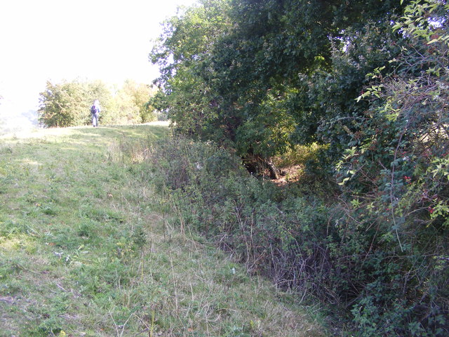
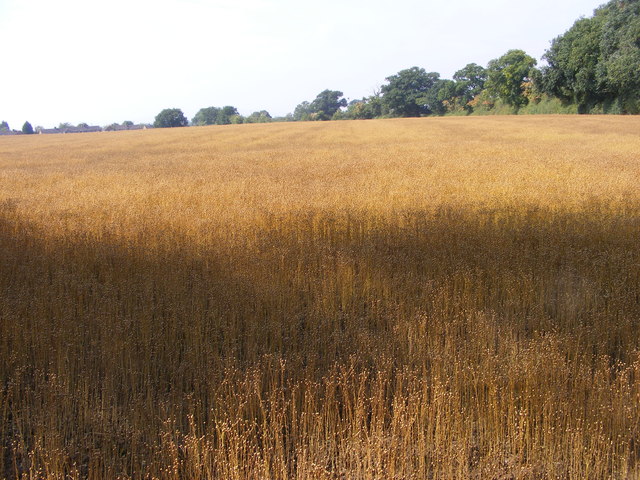
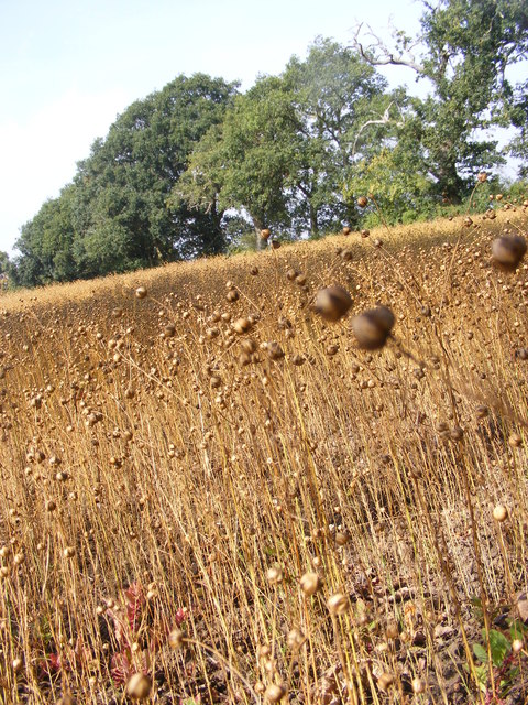
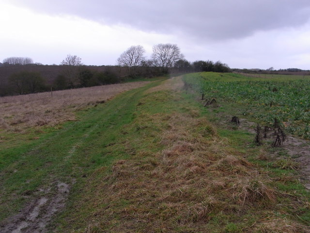
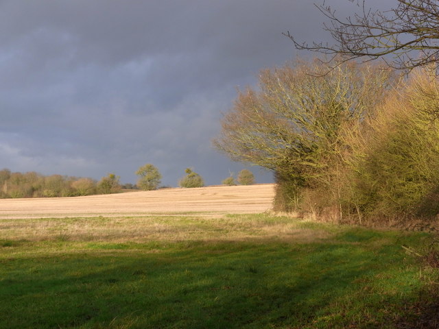
Rising to an approximate height of 250 meters (820 feet) above sea level, Low Hill offers stunning panoramic views of the surrounding countryside. It is characterized by its gentle slopes and rolling green fields, which are grazed by sheep and cattle. The hill is covered in a variety of vegetation, including grasses, wildflowers, and scattered patches of woodland, creating a picturesque landscape.

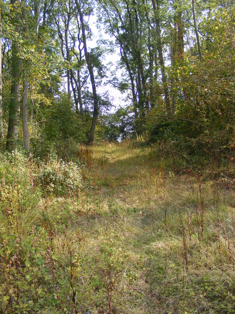
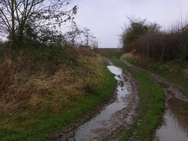
Low Hill is a popular destination for outdoor enthusiasts and nature lovers, attracting walkers, hikers, and cyclists. Its well-maintained footpaths and bridleways provide access to its summit, allowing visitors to enjoy the breathtaking vistas and the tranquility of the countryside. The hill is also home to a diverse range of wildlife, including rabbits, squirrels, and various species of birds.

In addition to its natural beauty, Low Hill has historical significance. It has been used for centuries as a site for agriculture and grazing, and there are remnants of old stone walls and farm buildings that hint at its past. It also holds cultural importance as part of the wider Malvern Hills landscape, which has inspired artists, writers, and poets throughout history.

Overall, Low Hill offers a peaceful and idyllic retreat for those seeking to appreciate the natural beauty and rural charm of Worcestershire.

If you have any feedback on the listing, please let us know in the comments section below.

Low Hill Images

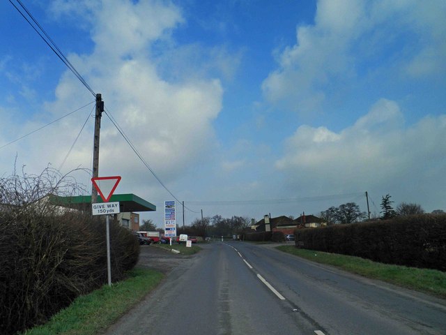
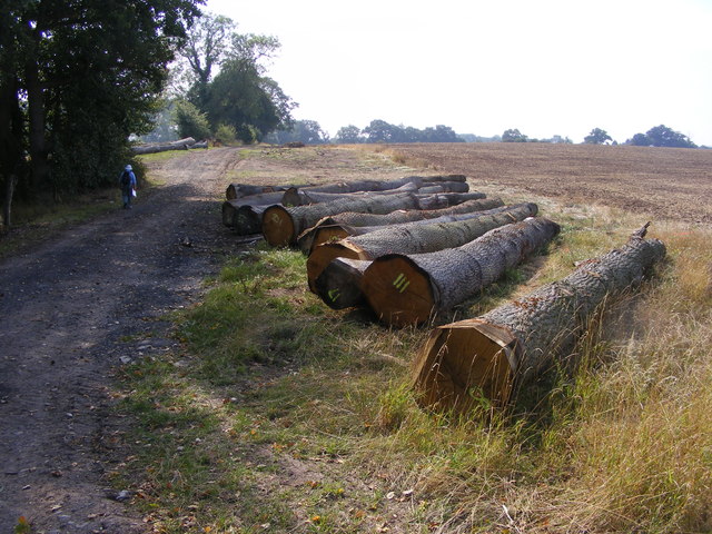
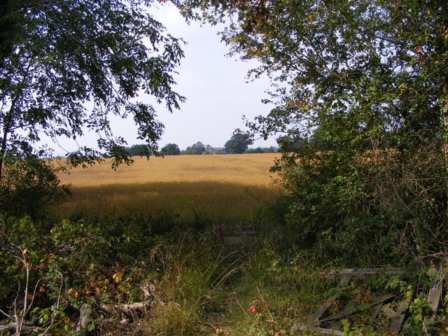
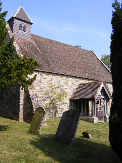
Images are sourced within 2km of 52.169369/-2.1303332 or Grid Reference SO9152. Thanks to Geograph Open Source API. All images are credited.

Give way sign and Egdon garage The garage specialises in 4x4's.
Give way sign and Egdon garage
The garage specialises in 4x4's.
Felled Trees The view alongside the footpath near Churchill Wood.
Felled Trees
The view alongside the footpath near Churchill Wood.
Out of the Wood The view from the Marshes Wood near Sneachill.
Out of the Wood
The view from the Marshes Wood near Sneachill.
Churchill Church The view of St Michael Church in the village of Churchill.
Churchill Church
The view of St Michael Church in the village of Churchill.
Moat View The view of the Moat bank at Churchill village.
Moat View
The view of the Moat bank at Churchill village.
Strange Crop The view of the field next to the Marshes Wood near Churchill. The seed crop is Camelina sativa i think.
Strange Crop
The view of the field next to the Marshes Wood near Churchill. The seed crop is Camelina sativa i think.
Strange Crop detail The detail view of the field crop next to the Marshes Wood near Churchill. The seed crop is Camelina sativa i think.
Strange Crop detail
The detail view of the field crop next to the Marshes Wood near Churchill. The seed crop is Camelina sativa i think.
Woodland Path The view of the path through Marshes Wood near Churchill.
Woodland Path
The view of the path through Marshes Wood near Churchill.
Roundabout at The Crossroads from A4385 Also junction for A44 and A422
Roundabout at The Crossroads from A4385
Also junction for A44 and A422
Sharp bend near Bunks Hall On A422
Sharp bend near Bunks Hall
On A422
Bridleway from Upper Wolverton Farm
Track between fields is a footpath Game-cover crop on the right.
Track between fields is a footpath
Game-cover crop on the right.
Field north of the footbridge Dramatic winter scene with low sun.
Field north of the footbridge
Dramatic winter scene with low sun.
Mucknell Abbey seen from the footpath The derelict Mucknell Farm was demolished and this Benedictine monastery has been built on the site. Completed in 2010. The whole development is eco-sound for fuel and energy and produces most of the food required. See the official website (<span class="nowrap"><a title="www.mucknellabbey.org.uk" rel="nofollow ugc noopener" href="http://www.mucknellabbey.org.uk">Link</a><img style="margin-left:2px;" alt="External link" title="External link - shift click to open in new window" src="https://s1.geograph.org.uk/img/external.png" width="10" height="10"/></span> ) for details.
Mucknell Abbey seen from the footpath
The derelict Mucknell Farm was demolished and this Benedictine monastery has been built on the site. Completed in 2010. The whole development is eco-sound for fuel and energy and produces most of the food required. See the official website (LinkExternal link ) for details.
Mucknell Abbey Chapel Interior of the new Chapel at Mucknell
Mucknell Abbey Chapel
Interior of the new Chapel at Mucknell
Chapel exterior Dedicated in the Presence of the Archbishop of Canterbury
Chapel exterior
Dedicated in the Presence of the Archbishop of Canterbury
Commemoration stone Marking the occasion
Commemoration stone
Marking the occasion
Oak north of Edwards Lane Worcestershire countryside to the east of Sneachill.
Oak north of Edwards Lane
Worcestershire countryside to the east of Sneachill.
Show me another place!

Low Hill is located at Grid Ref: SO9152 (Lat: 52.169369, Lng: -2.1303332)

Administrative County: Worcestershire

District: Wychavon

Police Authority: West Mercia

What 3 Words

///guides.aura.bill. Near Worcester, Worcestershire

Nearby Locations

Lowhill Covert Low Hill

Related Wikis

White Ladies Aston

White Ladies Aston is a village in the Wychavon local government district of Worcestershire, England, United Kingdom, and also lends its name to the civil...

St John the Baptist, White Ladies Aston

St John the Baptist is a church in White Ladies Aston, Worcestershire, England. It has been designated as a Grade II* listed building by Historic England...
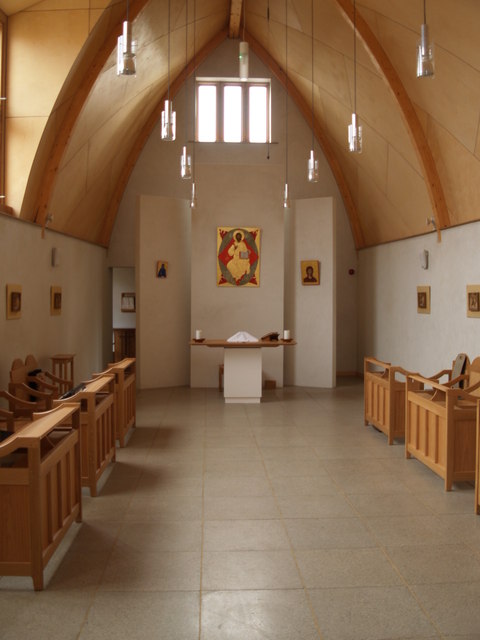
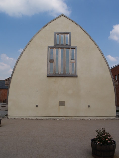
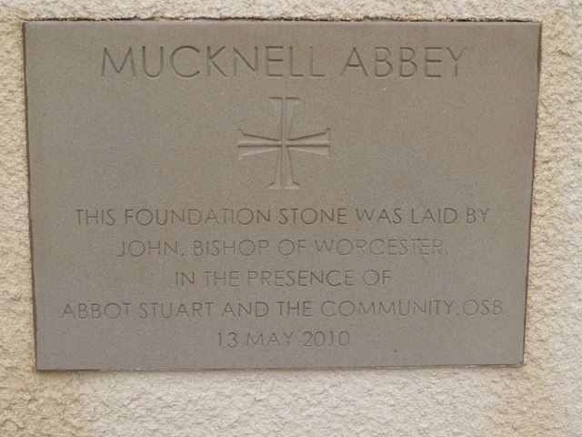
Mucknell Abbey

Mucknell Abbey is an Anglican Benedictine monastery in Worcestershire, England. The community, which formerly lived at Burford, has both male and female...

Egdon

Egdon is a hamlet located in the county of Worcestershire and falls with the civil parish of Stoulton.

Nearby Amenities

Located within 500m of 52.169369,-2.1303332
Power: pole
Lat/Long: 52.1688125/-2.1354213
Power: pole
Lat/Long: 52.1704416/-2.1274505
Power: pole
Lat/Long: 52.1695648/-2.132714
Power: pole
Lat/Long: 52.1711099/-2.1242086
Barrier: entrance
Lat/Long: 52.1692004/-2.1244675
Power: pole
Lat/Long: 52.1683311/-2.1364715
Power: pole
Lat/Long: 52.1700736/-2.1301301
Power: pole
Lat/Long: 52.1691836/-2.1340562
Power: pole
Lat/Long: 52.1707788/-2.1258139
Power: pole
Lat/Long: 52.1723343/-2.1310854
Power: pole
Lat/Long: 52.171589/-2.1307691
Power: pole
Lat/Long: 52.1708253/-2.1304472
Power: pole
Lat/Long: 52.1731451/-2.1314396
Low Hill
Power: pole
Transformer: distribution
Voltage Primary: 11000
Lat/Long: 52.1693002/-2.1297987
Power: pole
Lat/Long: 52.1701482/-2.1287687
Power: pole
Lat/Long: 52.1700372/-2.1307877
Power: pole
Lat/Long: 52.1700273/-2.1310694
Brickbarns Farm
Power: pole
Transformer: distribution
Voltage Primary: 11000
Lat/Long: 52.1697399/-2.1360596
Power: pole
Lat/Long: 52.1693607/-2.1357995
The data included in this document is from www.openstreetmap.org. The data is made available under ODbL.

Have you been to Low Hill?

Leave your review of Low Hill below (or comments, questions and feedback).