Upton Wood

Wood, Forest in Cheshire

England

Upton Wood

Prestbury Village
Prestbury Village Credit: Michael Garlick

Upton Wood is a picturesque woodland located in the county of Cheshire, England. Covering an area of approximately 20 acres, it is situated near the village of Upton-by-Chester, just a few miles south-east of the historic city of Chester. The wood is a popular destination for nature enthusiasts, walkers, and families seeking a peaceful retreat from the hustle and bustle of urban life.

The woodland is characterized by its diverse range of tree species, including oak, beech, birch, and sycamore. These trees provide a dense canopy that filters sunlight, creating a cool and shaded environment throughout the year. The forest floor is carpeted with a rich and varied undergrowth, consisting of bluebells, wild garlic, and ferns, which add to the natural beauty of the wood.

Upton Wood is home to a wide array of wildlife, making it a haven for nature lovers. Visitors may spot various bird species, including woodpeckers, owls, and robins, as well as squirrels and rabbits scurrying among the trees. The wood is particularly renowned for its vibrant butterfly population during the summer months, with species such as the peacock, red admiral, and comma fluttering through the foliage.

The wood is crisscrossed by a network of well-maintained footpaths, allowing visitors to explore its different sections and discover hidden gems along the way. These paths lead to a small pond, which serves as a watering hole for local wildlife. There are also designated areas for picnics, making it an ideal spot for families to enjoy a day out in nature.

Upton Wood, with its tranquil atmosphere and natural beauty, offers a delightful escape into the heart of Cheshire's countryside.

If you have any feedback on the listing, please let us know in the comments section below.

Upton Wood Images

Images are sourced within 2km of 53.27378/-2.1432565 or Grid Reference SJ9075. Thanks to Geograph Open Source API. All images are credited.

Prestbury Village
Prestbury Village
Prestbury Village
Prestbury Village
Whirley Grove 101 Sandy Lane
Whirley Grove
101 Sandy Lane
Prestbury Golf Course looking towards Dale Brow
Low sunlight across Prestbury Golf Course
Priest's house,  Prestbury Formerly the home of the priest of Prestbury Parish Church, now a Bank. Taken through the church gate.
Priest's house, Prestbury
Formerly the home of the priest of Prestbury Parish Church, now a Bank. Taken through the church gate.
The Coach House, Macclesfield This large house is situated at the eastern end of Birtles Lane in the Broken Cross neighbourhood of Macclesfield.
The Coach House, Macclesfield
This large house is situated at the eastern end of Birtles Lane in the Broken Cross neighbourhood of Macclesfield.
Localized Flooding, Whirley Grove Looking NE towards Big Wood SW of Prestbury, from the junction of Alderley Road (B5087) and Sandy Lane.
Localized Flooding, Whirley Grove
Looking NE towards Big Wood SW of Prestbury, from the junction of Alderley Road (B5087) and Sandy Lane.
Hello/Goodbye Macclesfield Here we are at the end of Macclesfield's urban sprawl where the B5087 (Alderley Road) is crossed by a minor road linking Macclesfield with Prestbury (Priory Lane/Macclesfield Road). View NE.
Hello/Goodbye Macclesfield
Here we are at the end of Macclesfield's urban sprawl where the B5087 (Alderley Road) is crossed by a minor road linking Macclesfield with Prestbury (Priory Lane/Macclesfield Road). View NE.
Dalebrow Trig Pillar, 148 m, Prestbury Situated at the edge of a hill-top wood near to Prestbury Golf Club's 9th tee. No golf course is shown on the 1940s OS map where the area is appropriately named Hill Top.
Dalebrow Trig Pillar, 148 m, Prestbury
Situated at the edge of a hill-top wood near to Prestbury Golf Club's 9th tee. No golf course is shown on the 1940s OS map where the area is appropriately named Hill Top.
Broken Cross This is the street name of this section of the A537, the main road from Macclesfield to Chester.
Broken Cross
This is the street name of this section of the A537, the main road from Macclesfield to Chester.
Wilwick Lane on a winter's day
St John's church St John's church early 90s.
St John's church
St John's church early 90s.
St John's church St John's church, Weston estate.
St John's church
St John's church, Weston estate.
St John's church Weston St John's church 1992
St John's church Weston
St John's church 1992
Clock tower at former Parkside Hospital, Macclesfield
Kennedy Avenue, Macclesfield
Old Direction Sign - Signpost by the B5087, Alderley Road, Macclesfield Pawn finial - 3 arms; Cheshire CCC octagonal by the B5087, in parish of Macclesfield (Macclesfield District), Prestbury Turn.

Surveyed

Milestone Society National ID: CH_SJ8975.
Old Direction Sign - Signpost by the B5087, Alderley Road, Macclesfield
Pawn finial - 3 arms; Cheshire CCC octagonal by the B5087, in parish of Macclesfield (Macclesfield District), Prestbury Turn. Surveyed Milestone Society National ID: CH_SJ8975.
Show me another place!

Upton Wood is located at Grid Ref: SJ9075 (Lat: 53.27378, Lng: -2.1432565)

Unitary Authority: Cheshire East

Police Authority: Cheshire

What 3 Words

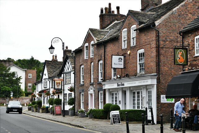
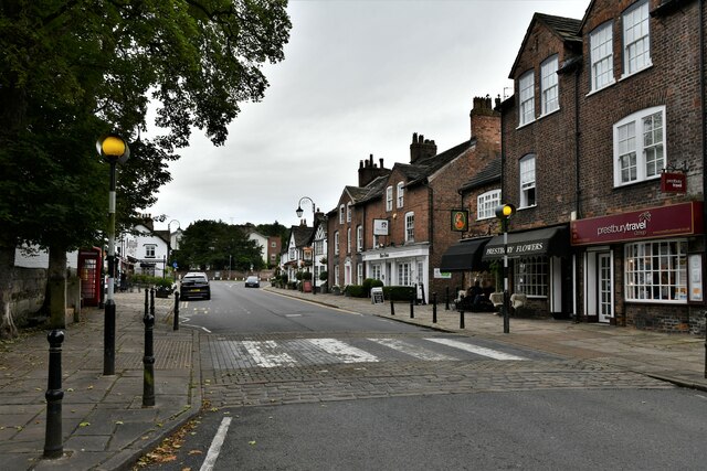
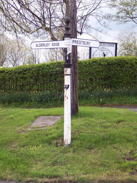
///snap.urgent.brief. Near Prestbury, Cheshire

Related Wikis

Macclesfield Cemetery

Macclesfield Cemetery, is a Victorian cemetery located on Prestbury Road, Macclesfield, Cheshire. It was opened on 17 May 1866 and consists of 68 acres...

Egerton Hall, Manchester

Egerton Hall, Manchester was founded as a Theological College in 1908 to train Anglican clergy to serve in the Church of England.It was located in Oxford...

Beech Hall School

Beech Hall School is a private school in Macclesfield, England and is a member of both IAPS (Independent Association of Preparatory Schools) and ISA (Independent...

Tytherington, Cheshire

Tytherington is an area in the north of Macclesfield in Cheshire, England. It comprises a large residential housing estate and has a church, Tytherington...

Tytherington Old Hall

Tytherington Old Hall is a former country house in the Tytherington area of Macclesfield, Cheshire, England. It was built in the late 16th century for...

The Fallibroome Academy

The Fallibroome Academy is a mixed secondary academy school in Macclesfield, Cheshire, England. It has approximately 1567 students, including around 365...

Tytherington School

Tytherington School is an academy in Macclesfield, Cheshire, England. The school has experienced a surge in popularity in the last few years and as of...

Macclesfield Cricket Club Ground

Macclesfield Cricket Club Ground is a cricket ground in Victoria Road, Macclesfield, Cheshire, England. A small ground, it is bordered to the east by Macclesfield...

Nearby Amenities

Located within 500m of 53.27378,-2.1432565
Turning Circle
Lat/Long: 53.2763104/-2.1410581
Turning Circle
Lat/Long: 53.2767343/-2.1400099
Turning Circle
Lat/Long: 53.2769881/-2.1388218
Turning Circle
Lat/Long: 53.277058/-2.1383262
Turning Circle
Lat/Long: 53.2754583/-2.1372232
Turning Circle
Lat/Long: 53.2756818/-2.1383264
Turning Circle
Lat/Long: 53.2706099/-2.1436457
Railway: crossing
Source: OS_OpenData_StreetView
Lat/Long: 53.2772085/-2.1423871
Power: tower
Lat/Long: 53.2734004/-2.1479298
Power: tower
Lat/Long: 53.2733354/-2.1429996
Power: tower
Lat/Long: 53.2733456/-2.1393333
Railway: crossing
Lat/Long: 53.2772/-2.142425
Bollinbrook
Place: suburb
Lat/Long: 53.2696522/-2.1416291
Barrier: stile
Lat/Long: 53.276677/-2.1431109
Addr Housenumber: 132
Addr Street: Abbey Road
Lat/Long: 53.2711561/-2.1380545
Addr Housenumber: 124
Addr Street: Abbey Road
Lat/Long: 53.271015/-2.1374445
Addr Housenumber: 130
Addr Street: Abbey Road
Lat/Long: 53.271133/-2.1378833
Addr Housenumber: 126
Addr Street: Abbey Road
Lat/Long: 53.2710417/-2.1375377
Addr Housenumber: 138
Addr Street: Abbey Road
Lat/Long: 53.2712248/-2.138404
Grit Bin
Lat/Long: 53.2712387/-2.1391427
Addr Housenumber: 134
Addr Street: Abbey Road
Lat/Long: 53.2711744/-2.138132
Addr Housenumber: 140
Addr Street: Abbey Road
Lat/Long: 53.2712404/-2.1385684
Addr Housenumber: 128
Addr Street: Abbey Road
Lat/Long: 53.2711105/-2.1378041
Addr Housenumber: 136
Addr Street: Abbey Road
Lat/Long: 53.2711994/-2.1383215
Addr Housenumber: 142
Addr Street: Abbey Road
Lat/Long: 53.2712635/-2.1386492
The data included in this document is from www.openstreetmap.org. The data is made available under ODbL.

Have you been to Upton Wood?

Leave your review of Upton Wood below (or comments, questions and feedback).