Piper's Wood

Wood, Forest in Gloucestershire Stroud

England

Piper's Wood

Faint line of a footpath Heading eastwards from Bunnage towards Whiteway.
Faint line of a footpath Credit: Jonathan Billinger

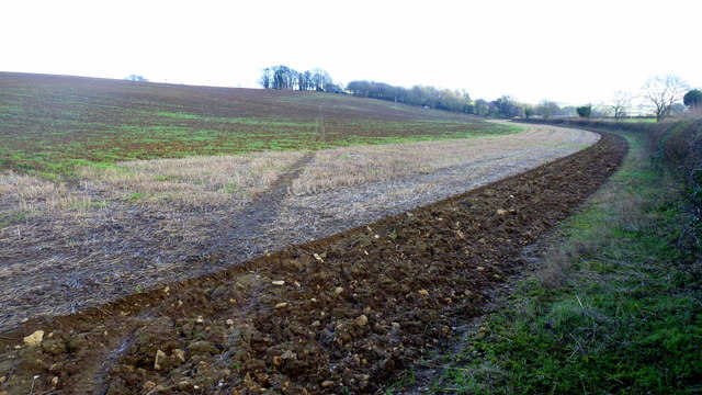
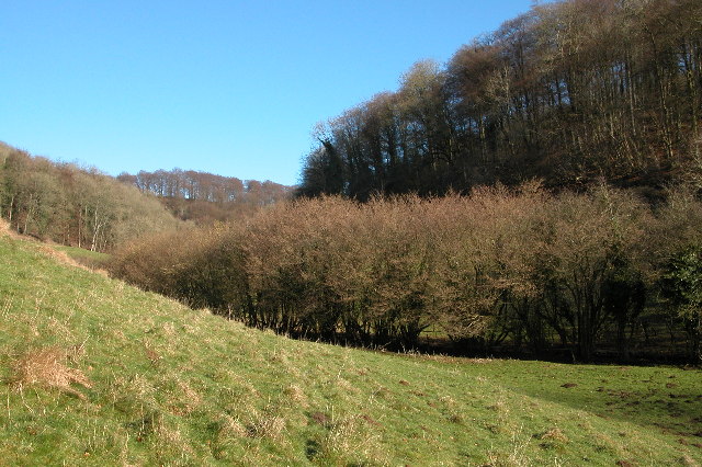
Piper's Wood is a picturesque forest located in Gloucestershire, England. Situated in the heart of the countryside, this woodland area covers an expansive area of approximately 100 acres. The wood is rich in biodiversity, featuring a diverse range of flora and fauna that attracts nature enthusiasts and hikers alike.

The forest is predominantly composed of deciduous trees, including oak, beech, and birch, which create a stunning canopy during the spring and summer months. Walking through Piper's Wood, visitors can enjoy the tranquil atmosphere and immerse themselves in the beauty of nature.

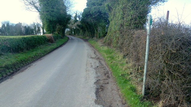
The woodland is crisscrossed by a network of well-maintained trails, making it an ideal destination for outdoor activities such as hiking, jogging, and bird-watching. These paths range in difficulty, catering to both beginners and experienced adventurers. Along the way, hikers may encounter various wildlife species, including deer, squirrels, and a wide array of bird species.

Piper's Wood is also home to a small pond, providing a habitat for aquatic creatures and adding to the scenic charm of the forest. The pond attracts an array of water birds and serves as a peaceful spot for visitors to relax and enjoy the serene surroundings.

The wood is easily accessible, with ample parking available nearby. It is a popular destination for locals and tourists alike, offering a peaceful respite from the hustle and bustle of everyday life. Piper's Wood is a true gem of Gloucestershire, providing a wonderful opportunity for individuals to connect with nature and enjoy the beauty of the countryside.

If you have any feedback on the listing, please let us know in the comments section below.
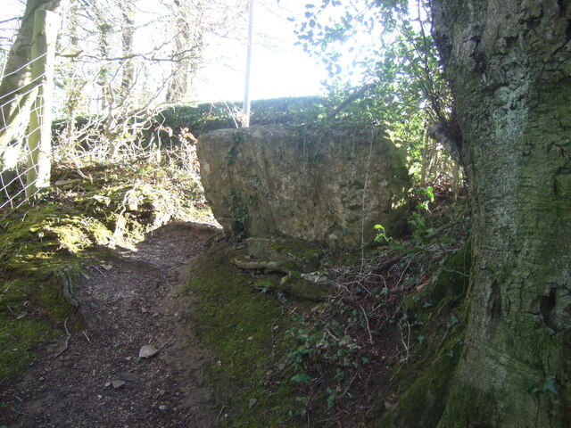
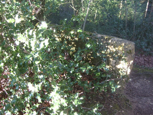
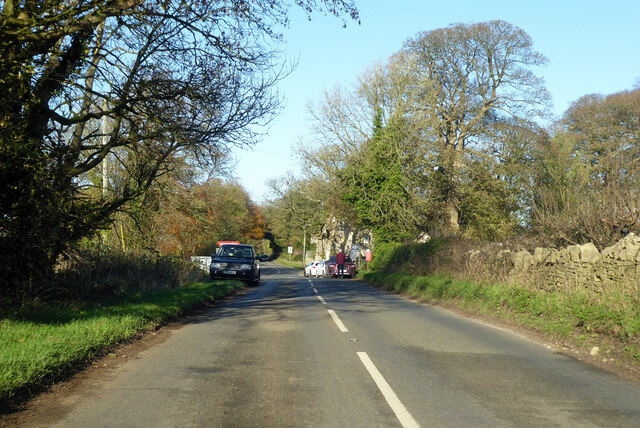
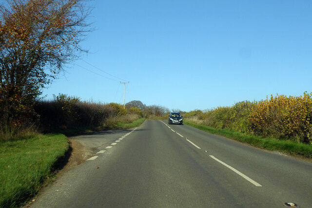
Piper's Wood Images

Images are sourced within 2km of 51.797764/-2.1385375 or Grid Reference SO9011. Thanks to Geograph Open Source API. All images are credited.

Faint line of a footpath Heading eastwards from Bunnage towards Whiteway.
Faint line of a footpath
Heading eastwards from Bunnage towards Whiteway.
Lane to Bunnage Looking west from the footpath sign for this path; <a href="https://www.geograph.org.uk/photo/4865645">SO9009 : Faint line of a footpath</a>.
Lane to Bunnage
Looking west from the footpath sign for this path; SO9009 : Faint line of a footpath.
View to Hazle Manor Showing how waterlogged the ground is this late winter.
View to Hazle Manor
Showing how waterlogged the ground is this late winter.
The Calf Way Looking north from the crossroads near Hazle Manor.
The road leads to Birdlip and Gloucester.
Possibly an old drover's road.
The Calf Way
Looking north from the crossroads near Hazle Manor. The road leads to Birdlip and Gloucester. Possibly an old drover's road.
Substation near The Camp Viewed from the crossroads on the Calf way near Hazle Manor.
Substation near The Camp
Viewed from the crossroads on the Calf way near Hazle Manor.
Footpath near Whiteway
Whiteway Village
Whiteway Village
Wateredge Farm Converted farm building at Wateredge Farm
Wateredge Farm
Converted farm building at Wateredge Farm
Climperwell Farm
Climperwell Farm
Stone stile near Bramble Cottage, Cranham GS1081 Stone slab stile off lane Cranham to B4070 near Bramble Cottage, Cranham. On public right of way MCR12
Stone stile near Bramble Cottage, Cranham GS1081
Stone slab stile off lane Cranham to B4070 near Bramble Cottage, Cranham. On public right of way MCR12
Stone stile near Bramble Cottage, Cranham GS1081 Stone slab stile off lane Cranham to B4070 near Bramble Cottage, Cranham. On public right of way MCR12. View from road side
Stone stile near Bramble Cottage, Cranham GS1081
Stone slab stile off lane Cranham to B4070 near Bramble Cottage, Cranham. On public right of way MCR12. View from road side
Stone stile north of Hazle Manor, Wishanger GS9268 Stone slab stile off Calf Way, the road Fostons Ash to Bisley Road. Off the east side of Calf Way and just north of Hazle Manor, Wishanger. On public right of way MMN17, Miserden parish.
Stone stile north of Hazle Manor, Wishanger GS9268
Stone slab stile off Calf Way, the road Fostons Ash to Bisley Road. Off the east side of Calf Way and just north of Hazle Manor, Wishanger. On public right of way MMN17, Miserden parish.
Stone stile north of Hazle Manor, Wishanger GS9268 Stone slab stile off Calf Way, the road Fostons Ash to Bisley Road. Off the east side of Calf Way and just north of Hazle Manor, Wishanger. On public right of way MMN17. Miserden parish
View from Calf Way
Stone stile north of Hazle Manor, Wishanger GS9268
Stone slab stile off Calf Way, the road Fostons Ash to Bisley Road. Off the east side of Calf Way and just north of Hazle Manor, Wishanger. On public right of way MMN17. Miserden parish View from Calf Way
Calf Way heading north Towards Birdlip.
Calf Way heading north
Towards Birdlip.
Calf Way heading north Towards Birdlip, joining the B4070 ahead.
Calf Way heading north
Towards Birdlip, joining the B4070 ahead.
B4070 towards Birdlip
Famish Hill Plantation This is at the top of the Slad valley
Famish Hill Plantation
This is at the top of the Slad valley
The Camp New houses built from local limestone seem to have a lot less charm than their older counterparts.
The Camp
New houses built from local limestone seem to have a lot less charm than their older counterparts.
Show me another place!

Piper's Wood is located at Grid Ref: SO9011 (Lat: 51.797764, Lng: -2.1385375)

Administrative County: Gloucestershire

District: Stroud

Police Authority: Gloucestershire

What 3 Words

///excusing.tulip.cringes. Near Painswick, Gloucestershire

Nearby Locations

Slade Bottom Piper's Wood

Related Wikis

Workmans Wood, Sheepscombe

Workmans Wood (grid reference SO900109) is a wood just to the east of the village of Sheepscombe, in the Cotswolds, Gloucestershire. It is a biological...

Sheepscombe

Sheepscombe is a small village in the civil parish of Painswick, in the Stroud district, in the county of Gloucestershire, England. Sheepscombe is located...

Whiteway Colony

Whiteway Colony is a residential community in the Cotswolds in the parish of Miserden near Stroud, Gloucestershire, United Kingdom. The community was founded...

The Camp, Gloucestershire

The Camp is a hamlet in the south of Gloucestershire, approximately 10 miles south of Cheltenham and 5 miles north-east of Stroud. It is in the parish...

Cotswold Commons and Beechwoods

Cotswold Commons and Beechwoods (grid reference SO900130) is a 665.5-hectare (1,644-acre) biological Site of Special Scientific Interest in Gloucestershire...

Cranham, Gloucestershire

Cranham is a village in the English county of Gloucestershire. Forming part of the district of Stroud it is to be found a mile or so east of the A46 road...

Rough Bank, Miserden

Rough Bank, Miserden (grid reference SO907087) is a 9.2-hectare (23-acre) biological Site of Special Scientific Interest in Gloucestershire, notified in...

Painswick Lodge

Painswick Lodge is a grade I listed house in Painswick, Gloucestershire, England. The rubble stone building, which has been extensively reworked and remodelled...

Nearby Amenities

Located within 500m of 51.797764,-2.1385375
Bidfield Farm school stop
Naptan AtcoCode: 1600GLA06388
Naptan Bearing: SW
Naptan BusStopType: CUS
Naptan CommonName: Bidfield Farm school stop
Naptan NaptanCode: glogpmpa
Naptan Street: B4070
Naptan Verified: no
Source: naptan_import
Lat/Long: 51.7942713/-2.1344888
Building: pump_house
Disused: yes
Source: OS OpenData StreetView
Lat/Long: 51.80223/-2.1392624
Natural: spring
Source: OS OpenData StreetView
Lat/Long: 51.7982823/-2.1353357
Natural: spring
Source: OS OpenData StreetView
Lat/Long: 51.7984614/-2.1359043
Bench
Backrest: no
Material: wood
Lat/Long: 51.7981246/-2.141833
Ford: yes
Lat/Long: 51.7952094/-2.1388047
The data included in this document is from www.openstreetmap.org. The data is made available under ODbL.

Have you been to Piper's Wood?

Leave your review of Piper's Wood below (or comments, questions and feedback).