Riverside Park

Downs, Moorland in Cheshire

England

Riverside Park

Prestbury Village
Prestbury Village Credit: Michael Garlick

Riverside Park, located in Cheshire, England, is a beautiful and expansive recreational area that offers a diverse range of activities for visitors. Situated alongside the River Dane, this park boasts stunning views of the surrounding countryside, including the Cheshire Downs and Moorland.

Covering a vast area of approximately 100 acres, Riverside Park provides ample space for outdoor enthusiasts to enjoy various recreational pursuits. The park features well-maintained walking trails that meander through lush greenery, offering a serene and peaceful atmosphere. These paths are perfect for leisurely strolls, jogging, or cycling, allowing visitors to immerse themselves in the natural beauty of the Cheshire landscape.

For those seeking more adventurous activities, Riverside Park offers opportunities for fishing in the River Dane, which is known for its abundance of fish species. Anglers can enjoy a peaceful day on the riverbanks, casting their lines in the hope of catching trout, grayling, or salmon.

Furthermore, the park provides well-equipped picnic areas, making it an ideal location for families and groups to relax and enjoy a meal amidst the picturesque surroundings. Children can also make use of the park's playground facilities, which include swings, slides, and climbing frames, ensuring that there is something for everyone to enjoy.

Overall, Riverside Park in Cheshire offers a tranquil escape from the hustle and bustle of everyday life, providing a perfect balance of natural beauty and recreational activities. Whether visitors are looking for a peaceful stroll, an angling experience, or a fun-filled day out with the family, this park is sure to meet their desires.

If you have any feedback on the listing, please let us know in the comments section below.

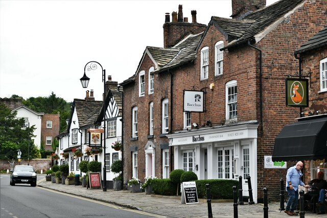
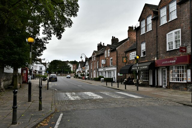
Riverside Park Images

Images are sourced within 2km of 53.279019/-2.1444138 or Grid Reference SJ9075. Thanks to Geograph Open Source API. All images are credited.

Prestbury Village
Prestbury Village
Prestbury Village
Prestbury Village
Whirley Grove 101 Sandy Lane
Whirley Grove
101 Sandy Lane
Prestbury Golf Course looking towards Dale Brow
Low sunlight across Prestbury Golf Course
Priest's house,  Prestbury Formerly the home of the priest of Prestbury Parish Church, now a Bank. Taken through the church gate.
Priest's house, Prestbury
Formerly the home of the priest of Prestbury Parish Church, now a Bank. Taken through the church gate.
The Coach House, Macclesfield This large house is situated at the eastern end of Birtles Lane in the Broken Cross neighbourhood of Macclesfield.
The Coach House, Macclesfield
This large house is situated at the eastern end of Birtles Lane in the Broken Cross neighbourhood of Macclesfield.
Localized Flooding, Whirley Grove Looking NE towards Big Wood SW of Prestbury, from the junction of Alderley Road (B5087) and Sandy Lane.
Localized Flooding, Whirley Grove
Looking NE towards Big Wood SW of Prestbury, from the junction of Alderley Road (B5087) and Sandy Lane.
Hello/Goodbye Macclesfield Here we are at the end of Macclesfield's urban sprawl where the B5087 (Alderley Road) is crossed by a minor road linking Macclesfield with Prestbury (Priory Lane/Macclesfield Road). View NE.
Hello/Goodbye Macclesfield
Here we are at the end of Macclesfield's urban sprawl where the B5087 (Alderley Road) is crossed by a minor road linking Macclesfield with Prestbury (Priory Lane/Macclesfield Road). View NE.
River Bollin, nr. Prestbury Looking upstream towards Prestbury village.
River Bollin, nr. Prestbury
Looking upstream towards Prestbury village.
Dalebrow Trig Pillar, 148 m, Prestbury Situated at the edge of a hill-top wood near to Prestbury Golf Club's 9th tee. No golf course is shown on the 1940s OS map where the area is appropriately named Hill Top.
Dalebrow Trig Pillar, 148 m, Prestbury
Situated at the edge of a hill-top wood near to Prestbury Golf Club's 9th tee. No golf course is shown on the 1940s OS map where the area is appropriately named Hill Top.
Clock tower at former Parkside Hospital, Macclesfield
Kennedy Avenue, Macclesfield
Old Direction Sign - Signpost by the B5087, Alderley Road, Macclesfield Pawn finial - 3 arms; Cheshire CCC octagonal by the B5087, in parish of Macclesfield (Macclesfield District), Prestbury Turn.

Surveyed

Milestone Society National ID: CH_SJ8975.
Old Direction Sign - Signpost by the B5087, Alderley Road, Macclesfield
Pawn finial - 3 arms; Cheshire CCC octagonal by the B5087, in parish of Macclesfield (Macclesfield District), Prestbury Turn. Surveyed Milestone Society National ID: CH_SJ8975.
Prestbury Road at Macclesfield boundary
Line of Hornbeam trees bordering road at  Bollin Grove These trees were planted in 1974 by Mr James Jackson in memory of his father, Sidney Jackson.
Line of Hornbeam trees bordering road at Bollin Grove
These trees were planted in 1974 by Mr James Jackson in memory of his father, Sidney Jackson.
Memorial Plaque, Bollin Grove
Prestbury Library
Prestbury Library
Show me another place!

Riverside Park is located at Grid Ref: SJ9075 (Lat: 53.279019, Lng: -2.1444138)

Unitary Authority: Cheshire East

Police Authority: Cheshire

What 3 Words

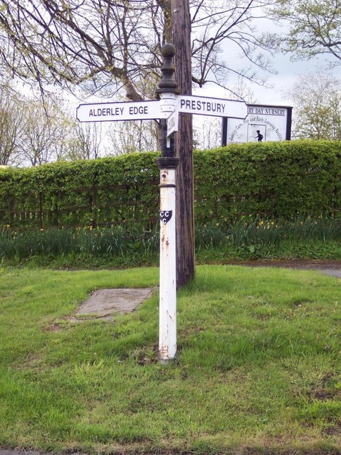
///formed.filed.until. Near Prestbury, Cheshire

Related Wikis

Tytherington Old Hall

Tytherington Old Hall is a former country house in the Tytherington area of Macclesfield, Cheshire, England. It was built in the late 16th century for...

Egerton Hall, Manchester

Egerton Hall, Manchester was founded as a Theological College in 1908 to train Anglican clergy to serve in the Church of England.It was located in Oxford...

St Peter's Church, Prestbury

St Peter's Church is the parish church of Prestbury, Cheshire, England. It is probably the fourth church on the site. The third, the Norman Chapel, stands...

Tytherington, Cheshire

Tytherington is an area in the north of Macclesfield in Cheshire, England. It comprises a large residential housing estate and has a church, Tytherington...

Beech Hall School

Beech Hall School is a private school in Macclesfield, England and is a member of both IAPS (Independent Association of Preparatory Schools) and ISA (Independent...

King's School, Macclesfield

The King's School, Macclesfield, is an independent school for day pupils in Prestbury, Cheshire, England, and a member of the Headmasters' and Headmistresses...

The Fallibroome Academy

The Fallibroome Academy is a mixed secondary academy school in Macclesfield, Cheshire, England. It has approximately 1567 students, including around 365...

Macclesfield Cemetery

Macclesfield Cemetery, is a Victorian cemetery located on Prestbury Road, Macclesfield, Cheshire. It was opened on 17 May 1866 and consists of 68 acres...

Nearby Amenities

Located within 500m of 53.279019,-2.1444138
Turning Circle
Lat/Long: 53.2833672/-2.1459909
Turning Circle
Lat/Long: 53.282397/-2.1461265
Turning Circle
Lat/Long: 53.282431/-2.1471795
Turning Circle
Lat/Long: 53.281714/-2.146342
Turning Circle
Lat/Long: 53.280227/-2.1479904
Turning Circle
Lat/Long: 53.2817107/-2.1502207
Turning Circle
Lat/Long: 53.280924/-2.1481348
Turning Circle
Lat/Long: 53.2780524/-2.1402212
Turning Circle
Lat/Long: 53.2785959/-2.1393431
Turning Circle
Lat/Long: 53.2763104/-2.1410581
Turning Circle
Lat/Long: 53.2767343/-2.1400099
Turning Circle
Lat/Long: 53.2769881/-2.1388218
Turning Circle
Lat/Long: 53.277058/-2.1383262
Turning Circle
Lat/Long: 53.280857/-2.1507989
Railway: crossing
Source: OS_OpenData_StreetView
Lat/Long: 53.2772085/-2.1423871
Railway: crossing
Lat/Long: 53.2772/-2.142425
Barrier: stile
Lat/Long: 53.276677/-2.1431109
The data included in this document is from www.openstreetmap.org. The data is made available under ODbL.

Have you been to Riverside Park?

Leave your review of Riverside Park below (or comments, questions and feedback).