Clay Hill Wood
Wood, Forest in Wiltshire
England
Clay Hill Wood
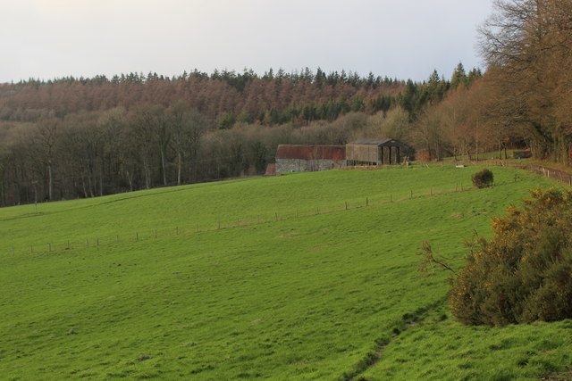
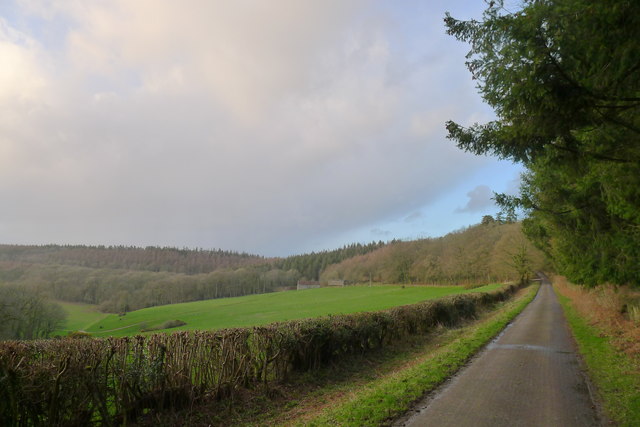
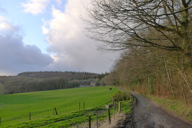
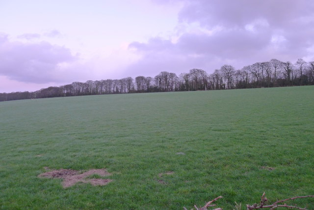
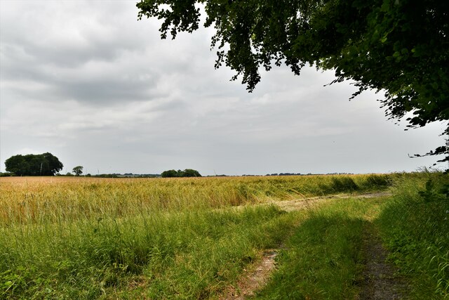
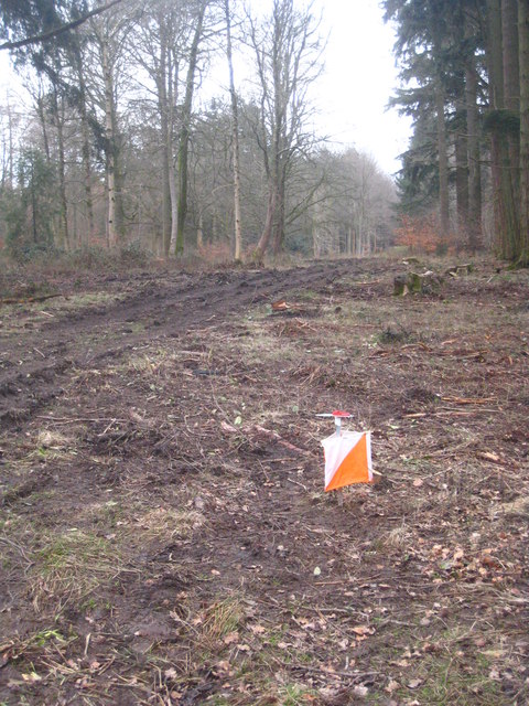
Clay Hill Wood, located in Wiltshire, England, is a picturesque forest that covers an area of approximately 40 hectares. The wood is part of the larger Savernake Forest, which boasts an impressive history dating back over 1,000 years.
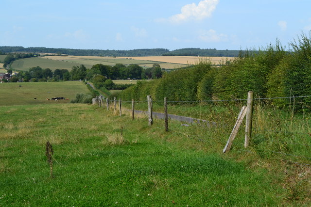
Clay Hill Wood is primarily composed of broadleaf trees, including oak, beech, and ash, creating a diverse and vibrant ecosystem. The woodland floor is adorned with a rich variety of flora, such as bluebells, wood anemones, and wild garlic, which burst into bloom during the spring months. The dense canopy provides shelter and habitat for many species of birds, including woodpeckers, owls, and wood warblers, making it a haven for birdwatchers.
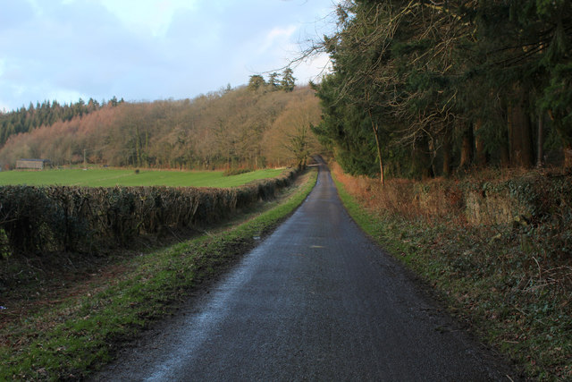
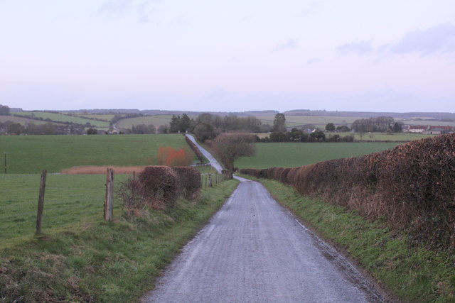
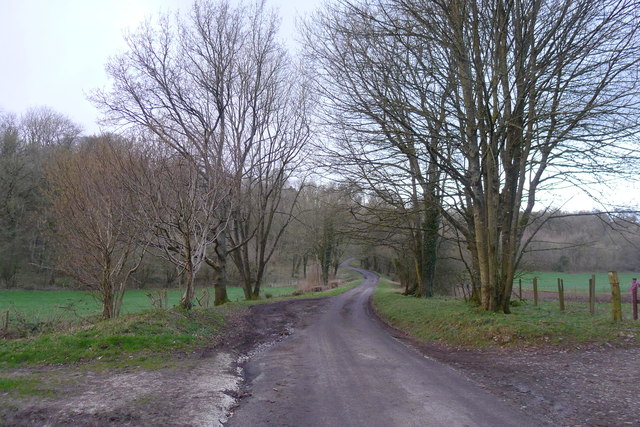
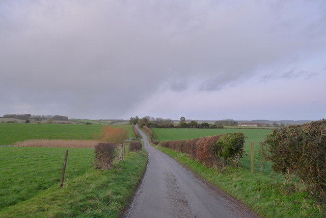
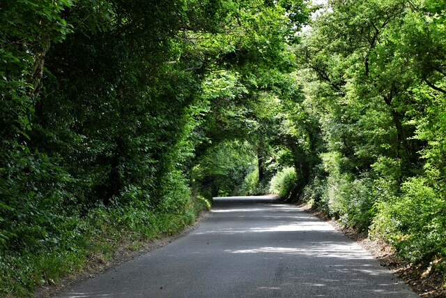
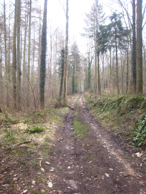
The wood itself is crisscrossed by a network of well-maintained footpaths, allowing visitors to explore its natural beauty. These trails lead through sun-dappled glades, past ancient trees, and alongside babbling streams. The peaceful atmosphere and tranquility of Clay Hill Wood make it a popular spot for nature lovers, hikers, and families looking for a peaceful retreat.
In addition to its natural charm, Clay Hill Wood also holds historical significance. The forest has been managed for centuries and was once a royal hunting ground. Visitors can stumble upon remnants of its past, including old boundary markers, ancient trees with gnarled trunks, and the occasional disused sawpit, providing a glimpse into the area's rich heritage.
Overall, Clay Hill Wood is a stunning and historically significant woodland, offering visitors a chance to immerse themselves in the beauty of nature while exploring its vibrant trails and discovering its hidden treasures.
If you have any feedback on the listing, please let us know in the comments section below.
Clay Hill Wood Images
Images are sourced within 2km of 51.070185/-2.1372205 or Grid Reference ST9030. Thanks to Geograph Open Source API. All images are credited.


Clay Hill Wood is located at Grid Ref: ST9030 (Lat: 51.070185, Lng: -2.1372205)
Unitary Authority: Wiltshire
Police Authority: Wiltshire
What 3 Words
///crumples.else.workers. Near Hindon, Wiltshire
Nearby Locations
Related Wikis

Pythouse
Pythouse, sometimes spelled Pyt House and pronounced pit-house, is a country house in southwest Wiltshire, in the west of England. It is about 2+1⁄2 miles...
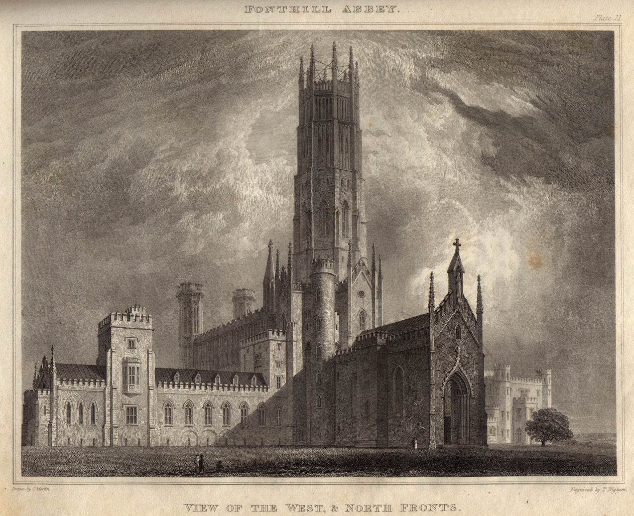
Fonthill Abbey
Fonthill Abbey—also known as Beckford's Folly—was a large Gothic Revival country house built between 1796 and 1813 at Fonthill Gifford in Wiltshire, England...
West Tisbury, Wiltshire
West Tisbury is a civil parish in southwest Wiltshire, England. The parish takes in the southwestern quarter of the village of Tisbury and extends about...

East Knoyle War Memorial
The East Knoyle War Memorial is a monument that commemorates the lives of soldiers from East Knoyle, Wiltshire, England, who were killed in war. Unveiled...
Nearby Amenities
Located within 500m of 51.070185,-2.1372205Have you been to Clay Hill Wood?
Leave your review of Clay Hill Wood below (or comments, questions and feedback).