Cool's Alders
Wood, Forest in Wiltshire
England
Cool's Alders
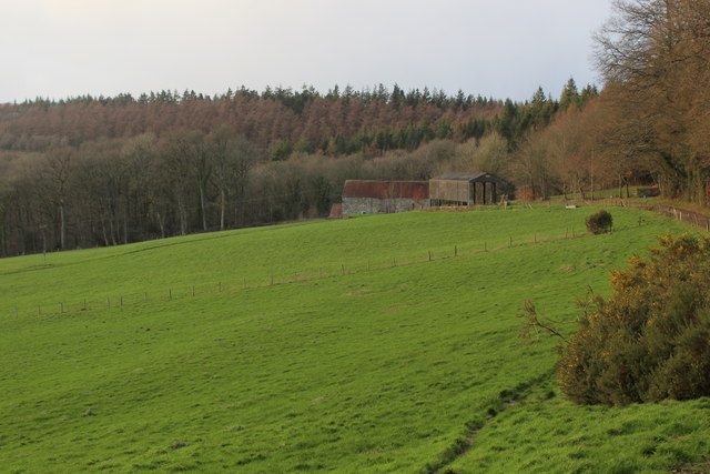
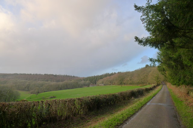
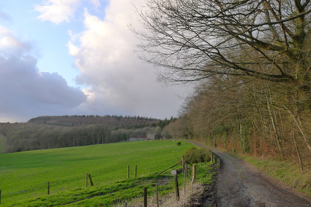
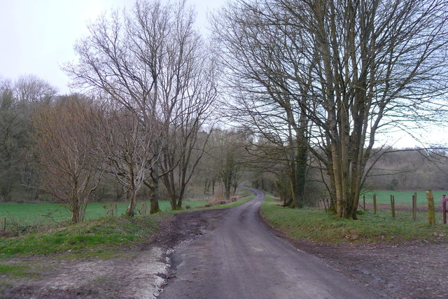
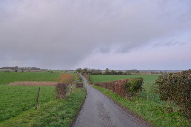
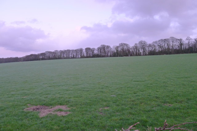
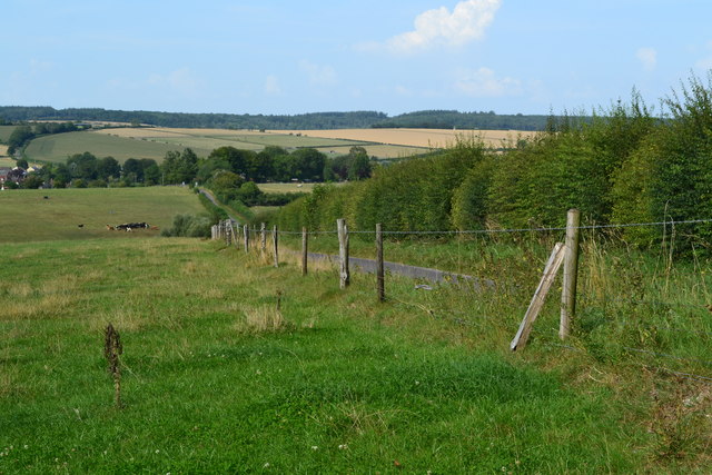
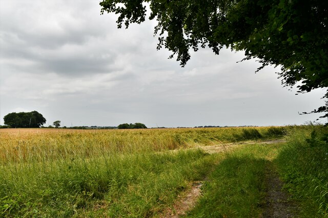
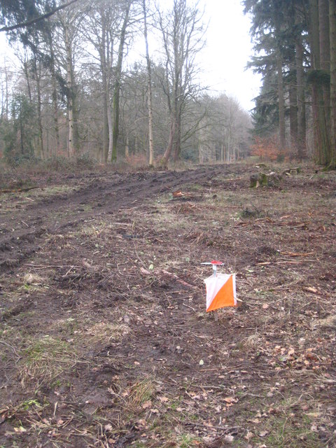
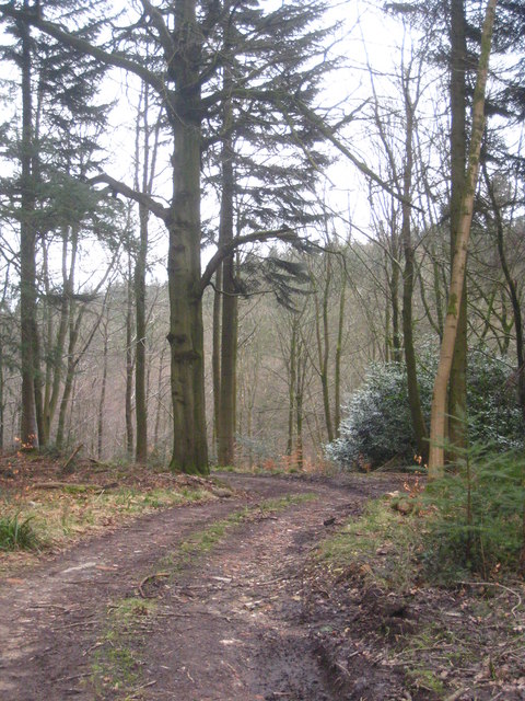
Cool's Alders is a picturesque woodland located in the county of Wiltshire, England. Situated in the southern part of the county, this enchanting forest covers a vast area of approximately 100 acres. It is nestled within the scenic landscape of the Alderscombe Valley, offering a tranquil and serene atmosphere for nature enthusiasts and hikers alike.
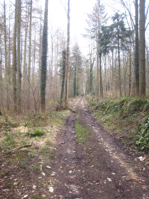
The wood is predominantly composed of alder trees, which lend their name to the woodland. These trees provide a rich and diverse habitat for a wide array of flora and fauna. Cool's Alders is renowned for its vibrant and diverse ecosystem, with an abundance of wildlife including various species of birds, insects, and small mammals.
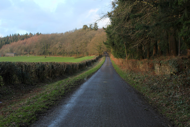
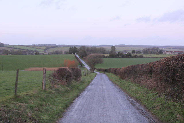
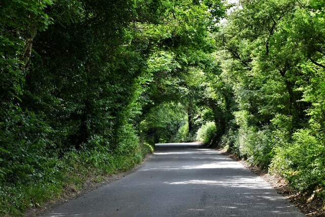
The woodland features well-maintained footpaths and trails, allowing visitors to explore its natural beauty at their own pace. The paths wind their way through the forest, offering stunning views of the surrounding countryside and the tranquil stream that runs through the heart of the wood.
Cool's Alders is a popular destination for nature lovers, walkers, and families seeking a peaceful escape from the hustle and bustle of everyday life. Visitors can immerse themselves in the beauty of the forest, enjoying the sights and sounds of nature, and perhaps even spotting some of the rare and elusive wildlife that call this woodland home.
Overall, Cool's Alders in Wiltshire is a captivating woodland that offers a haven of natural beauty and tranquility, making it a must-visit destination for anyone seeking a peaceful retreat in the heart of nature.
If you have any feedback on the listing, please let us know in the comments section below.
Cool's Alders Images
Images are sourced within 2km of 51.070159/-2.136093 or Grid Reference ST9030. Thanks to Geograph Open Source API. All images are credited.


Cool's Alders is located at Grid Ref: ST9030 (Lat: 51.070159, Lng: -2.136093)
Unitary Authority: Wiltshire
Police Authority: Wiltshire
What 3 Words
///wording.plausible.cooked. Near Hindon, Wiltshire
Nearby Locations
Related Wikis
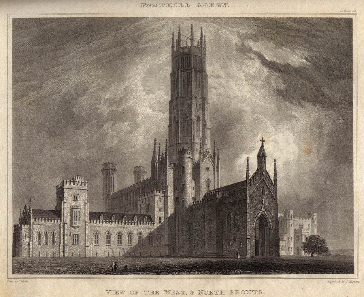
Fonthill Abbey
Fonthill Abbey—also known as Beckford's Folly—was a large Gothic Revival country house built between 1796 and 1813 at Fonthill Gifford in Wiltshire, England...

Pythouse
Pythouse, sometimes spelled Pyt House and pronounced pit-house, is a country house in southwest Wiltshire, in the west of England. It is about 2+1⁄2 miles...
West Tisbury, Wiltshire
West Tisbury is a civil parish in southwest Wiltshire, England. The parish takes in the southwestern quarter of the village of Tisbury and extends about...

East Knoyle War Memorial
The East Knoyle War Memorial is a monument that commemorates the lives of soldiers from East Knoyle, Wiltshire, England, who were killed in war. Unveiled...
Nearby Amenities
Located within 500m of 51.070159,-2.136093Have you been to Cool's Alders?
Leave your review of Cool's Alders below (or comments, questions and feedback).