Bottom Copse

Wood, Forest in Wiltshire

England

Bottom Copse

View north-west from Hindon - East Knoyle road Largely arable farmland.
View north-west from Hindon - East Knoyle road Credit: Robin Webster

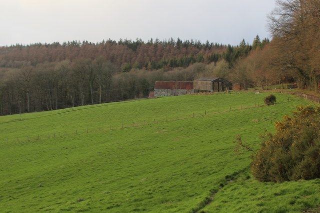
Bottom Copse is a picturesque woodland located in Wiltshire, England. Spanning over an area of approximately 50 acres, this enchanting forest is a popular destination for nature lovers and outdoor enthusiasts. It is situated in the southern part of the county, near the village of Mere, and is easily accessible by road.

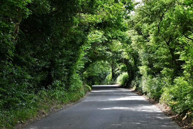
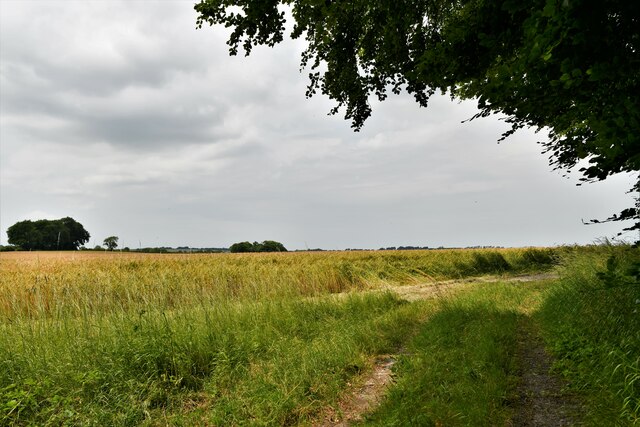
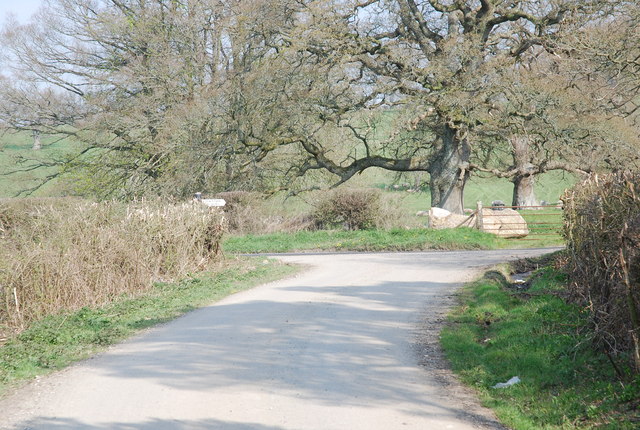
The woodland is characterized by its dense canopy of trees, primarily consisting of oak, beech, and birch. These towering trees provide ample shade during the summer months and create a serene and tranquil atmosphere. The forest floor is covered with a thick carpet of moss, ferns, and wildflowers, adding to the beauty and biodiversity of the area.

Bottom Copse is home to a variety of wildlife, including deer, foxes, badgers, and a wide array of bird species. Birdwatchers can often spot woodpeckers, owls, and various songbirds among the branches. The woodland also supports a diverse range of insects and small mammals, making it an ideal habitat for nature enthusiasts and photographers.

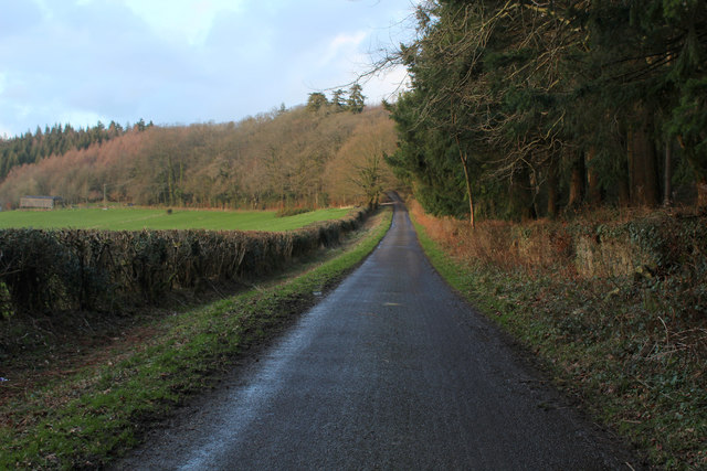
For outdoor enthusiasts, Bottom Copse offers a network of well-maintained trails, allowing visitors to explore the woodland at their own pace. These trails wind through the forest, passing by tranquil streams and small ponds, offering opportunities for peaceful picnics or simply immersing oneself in nature. The woodland is especially popular during the autumn months when the trees display a brilliant array of colors.

Bottom Copse is a true haven for those seeking solace in nature. Its stunning beauty, diverse wildlife, and tranquil ambiance make it a must-visit destination for anyone looking to escape the hustle and bustle of daily life and reconnect with the natural world.

If you have any feedback on the listing, please let us know in the comments section below.
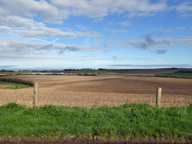
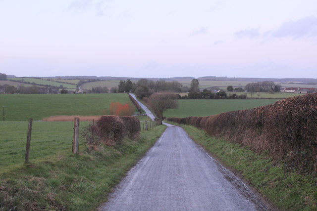
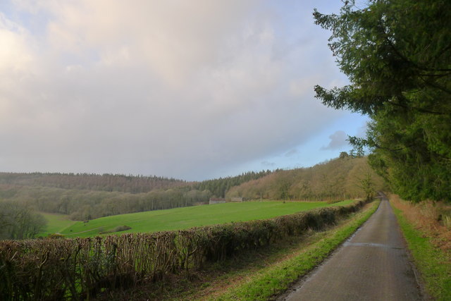
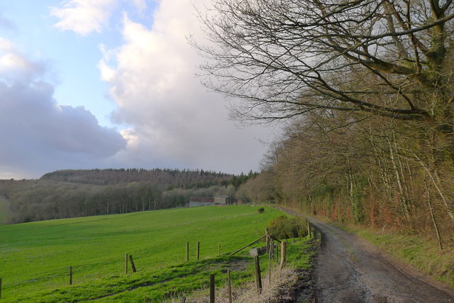
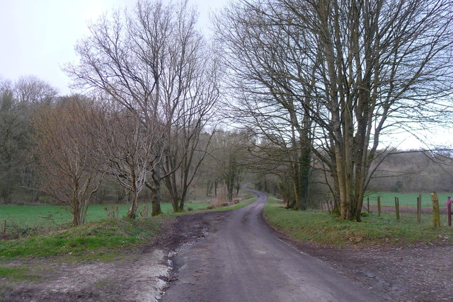
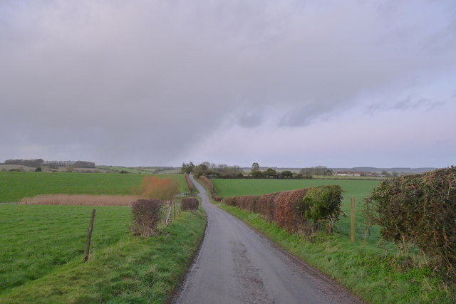
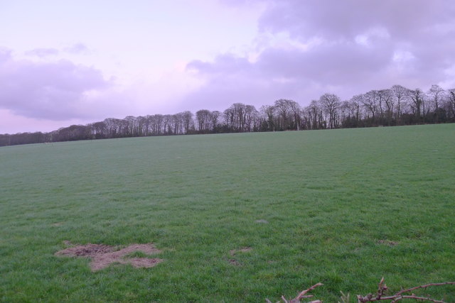
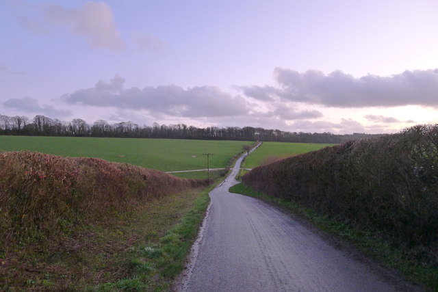
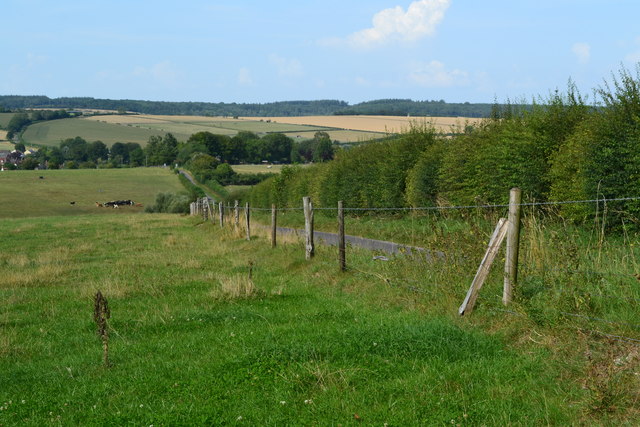
Bottom Copse Images

Images are sourced within 2km of 51.074086/-2.1388736 or Grid Reference ST9030. Thanks to Geograph Open Source API. All images are credited.

View north-west from Hindon - East Knoyle road Largely arable farmland.
View north-west from Hindon - East Knoyle road
Largely arable farmland.
Ruddlemoor Farm Almost completely surrounded by forest
Ruddlemoor Farm
Almost completely surrounded by forest
Minor Road between Newtown and Hindon For most of its length this quiet lane runs through shady woodland
Minor Road between Newtown and Hindon
For most of its length this quiet lane runs through shady woodland
Heading North towards Hindon Section of the woodland road between Newtown and Hindon
Heading North towards Hindon
Section of the woodland road between Newtown and Hindon
Track in Terrace Wood Woodland track leading off the minor road between Hindon and Newtown
Track in Terrace Wood
Woodland track leading off the minor road between Hindon and Newtown
Lane from Newtown heading towards Hindon
Minor road around the west flank of Beacon Hill Looking towards Ruddlemoor farm in the middle distance.
Minor road around the west flank of Beacon Hill
Looking towards Ruddlemoor farm in the middle distance.
Track to Ruddlemoor Farm
Newclose Hanging The road to Hindon crossing a dry valley separating Fonthill Abbey Wood (behind) and Terrace Wood (ahead).
Newclose Hanging
The road to Hindon crossing a dry valley separating Fonthill Abbey Wood (behind) and Terrace Wood (ahead).
On the road dropping down from The Terraces and heading north towards Hildon
The north edge of Terrace Wood Looking toward The Terraces - a chalk escarpment overlooking Hindon
The north edge of Terrace Wood
Looking toward The Terraces - a chalk escarpment overlooking Hindon
Dusk on the road south from Hindon Looking toward Terrace Wood
Dusk on the road south from Hindon
Looking toward Terrace Wood
Field fence, looking toward Down Dairy
Beside the lane to Hindon
East Knoyle: Plantation access track
East Knoyle: East Knoyle Road
East Knoyle: Barley crop
East Knoyle: Sheephouse Farm
Show me another place!

Bottom Copse is located at Grid Ref: ST9030 (Lat: 51.074086, Lng: -2.1388736)

Unitary Authority: Wiltshire

Police Authority: Wiltshire

What 3 Words

///afternoon.blushed.emerald. Near Hindon, Wiltshire

Related Wikis

Have you been to Bottom Copse?

Leave your review of Bottom Copse below (or comments, questions and feedback).