Ambrose Copse
Wood, Forest in Wiltshire
England
Ambrose Copse
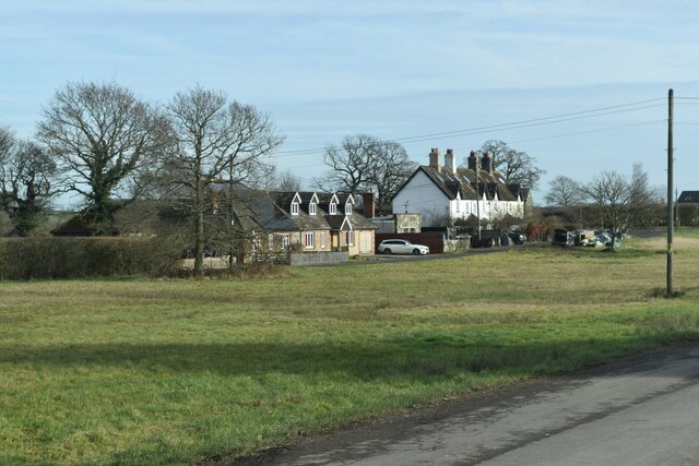
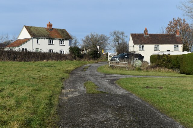
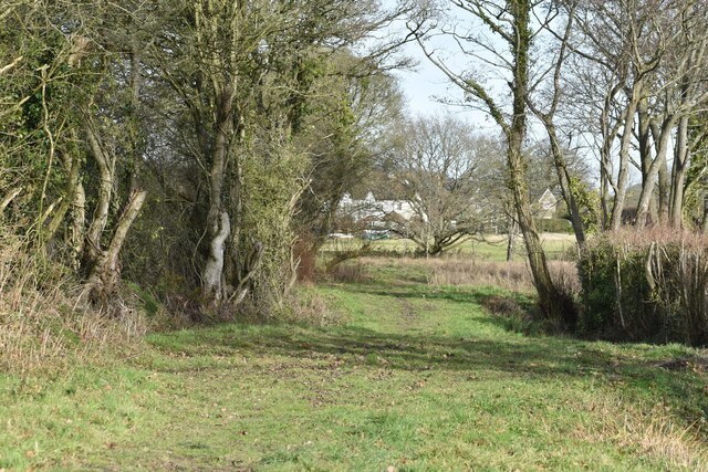
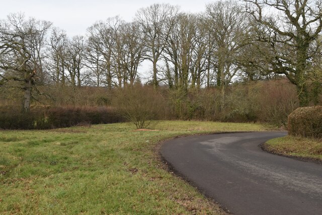
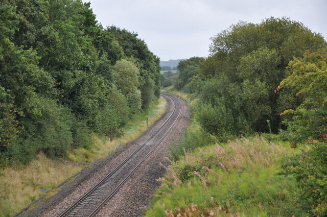
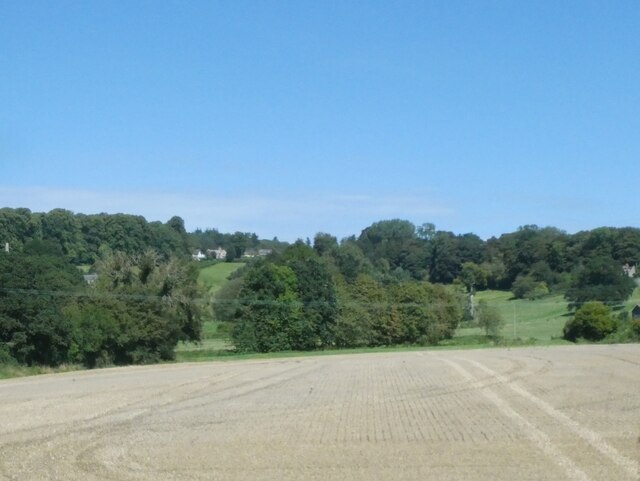
Ambrose Copse is a charming woodland located in the county of Wiltshire, England. Covering an area of approximately 20 acres, this peaceful forest is a haven for nature enthusiasts and outdoor adventurers alike. Situated in the southern part of the county, Ambrose Copse is surrounded by picturesque countryside and offers a serene escape from the hustle and bustle of urban life.
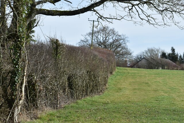
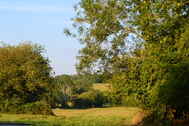
The copse is primarily comprised of broadleaf trees such as oak, beech, and ash, creating a diverse and vibrant ecosystem. The dense canopy provides a cool and shaded environment, making it an ideal spot for leisurely walks or picnics on warm summer days.
Within the woodland, visitors can discover a variety of flora and fauna. Bluebells carpet the forest floor in the spring, creating a breathtaking display of color, while woodpeckers drum on the trees, adding to the symphony of nature sounds. The copse is also home to a diverse range of wildlife, including deer, foxes, and squirrels, making it a fantastic location for wildlife spotting and photography.
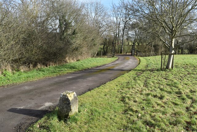
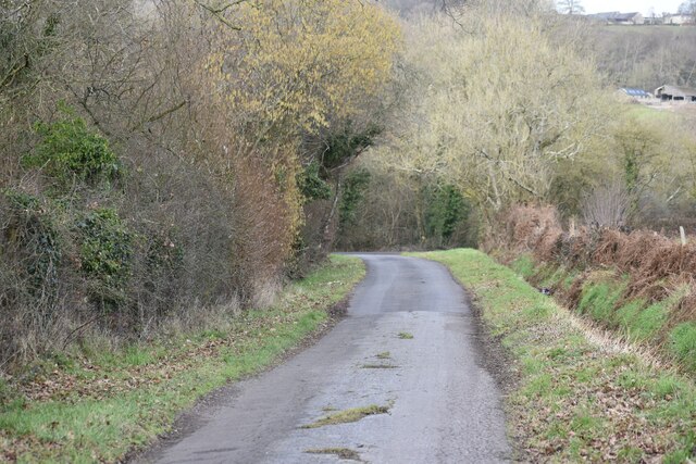
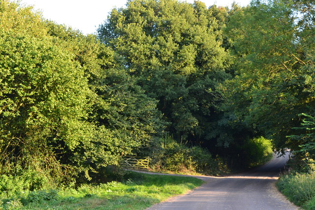
Ambrose Copse is well-maintained, with clearly marked paths and trails, allowing visitors to explore the woodland at their own pace. There are also several benches and picnic areas dotted throughout the copse, offering tranquil spots to rest and admire the natural beauty surrounding them.
Overall, Ambrose Copse is a true gem in the Wiltshire countryside, providing a peaceful retreat for those seeking solace in nature. Its idyllic setting, diverse flora and fauna, and well-maintained trails make it a must-visit destination for outdoor enthusiasts and lovers of the great outdoors.
If you have any feedback on the listing, please let us know in the comments section below.
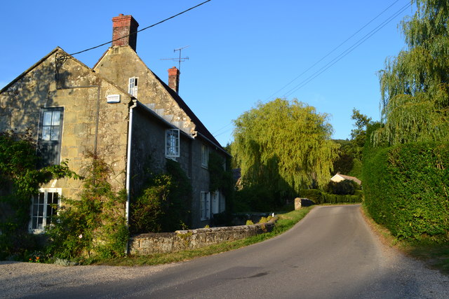
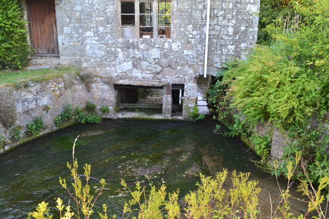
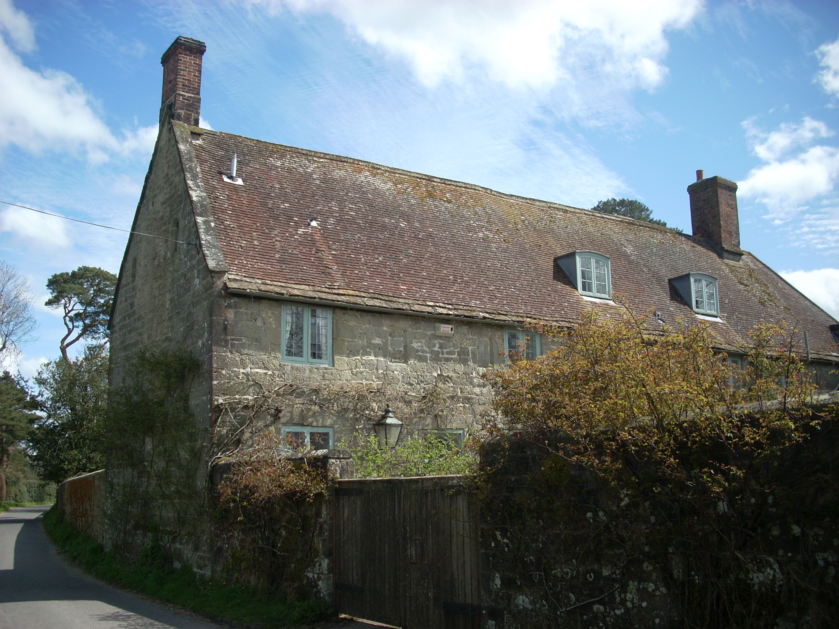
Ambrose Copse Images
Images are sourced within 2km of 51.034336/-2.1424197 or Grid Reference ST9026. Thanks to Geograph Open Source API. All images are credited.
Ambrose Copse is located at Grid Ref: ST9026 (Lat: 51.034336, Lng: -2.1424197)
Unitary Authority: Wiltshire
Police Authority: Wiltshire
What 3 Words
///congested.latitudes.lifeboats. Near Shaftesbury, Dorset
Nearby Locations
Related Wikis

Gutch Common
Gutch Common (grid reference ST896259) is a 35.1 hectare biological Site of Special Scientific Interest in Wiltshire, notified in 1951. == Sources == Natural...

Semley
Semley is a village and former civil parish, now in the parish of Sedgehill and Semley, in Wiltshire, England, about 3 miles (4.8 km) north-east of Shaftesbury...
Shute House, Donhead St Mary
Shute House, Donhead St Mary, Wiltshire, England is a former rectory, now a private home, notable for its gardens designed by Geoffrey Jellicoe. About...

Donhead St Mary
Donhead St Mary is a village and civil parish in southwest Wiltshire, England, on the county border with Dorset. The village lies about 2+1⁄2 miles (4...

Donhead St Andrew
Donhead St Andrew is a village and civil parish in Wiltshire, England, on the River Nadder. It lies 4 miles (6.4 km) east of the Dorset market town of...

Pythouse
Pythouse, sometimes spelled Pyt House and pronounced pit-house, is a country house in southwest Wiltshire, in the west of England. It is about 2+1⁄2 miles...

Wardour, Wiltshire
Wardour is a settlement in the civil parish of Tisbury, in Wiltshire, England, about 13 miles (21 km) west of Salisbury and 4 miles (6 km) south of Hindon...

Sedgehill and Semley
Sedgehill and Semley is a civil parish in the English county of Wiltshire, about 3 miles (4.8 km) north of the town of Shaftesbury on the main A350 road...
Nearby Amenities
Located within 500m of 51.034336,-2.1424197Have you been to Ambrose Copse?
Leave your review of Ambrose Copse below (or comments, questions and feedback).