White Wood
Wood, Forest in Wiltshire
England
White Wood
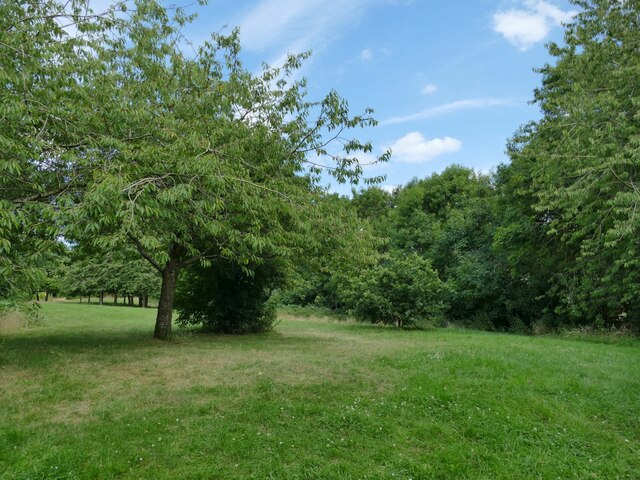
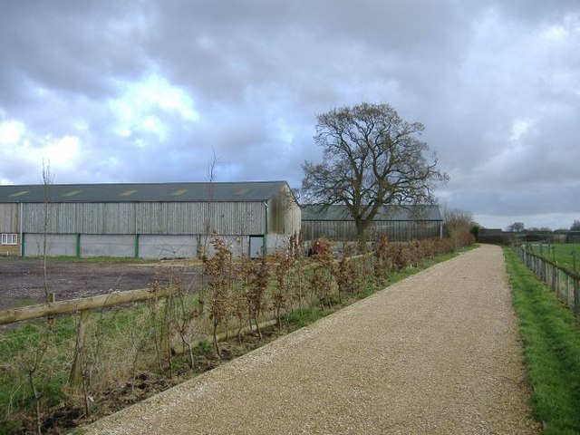
White Wood is a picturesque forest located in the county of Wiltshire, England. Situated near the bustling market town of Devizes, this woodland offers a tranquil and serene escape from the urban landscape. Covering an area of approximately 250 acres, White Wood is known for its dense canopy of towering beech and oak trees, creating a magical atmosphere for visitors.
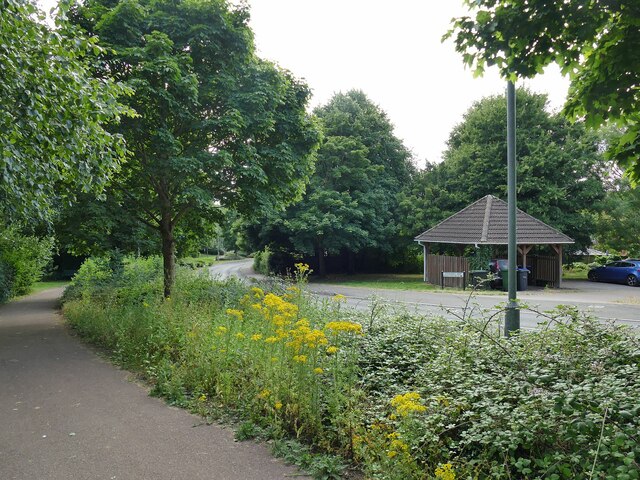
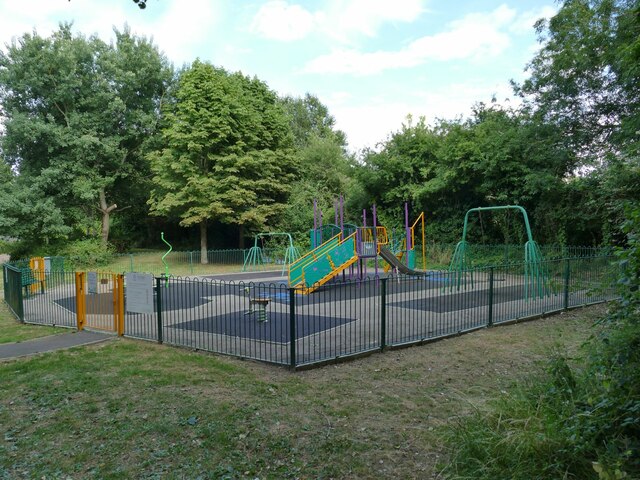
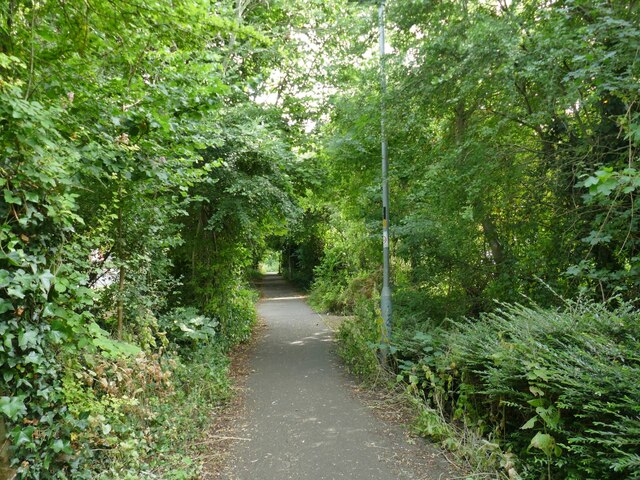
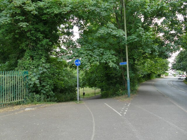
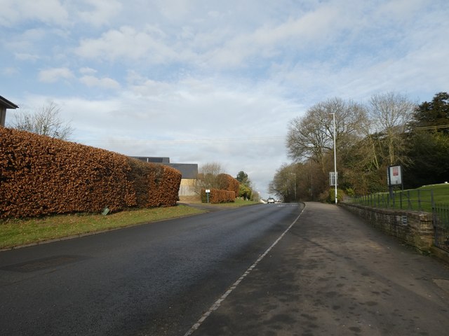
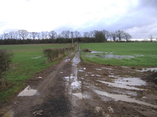
The forest is a haven for nature enthusiasts and outdoor lovers, offering a variety of recreational activities. Numerous well-maintained trails wind through the wood, providing opportunities for leisurely walks, jogging, or cycling. These paths lead visitors to hidden gems such as enchanting glades, babbling brooks, and a small pond teeming with aquatic life.
White Wood is home to a diverse range of wildlife, making it a popular spot for birdwatching and animal sightings. Visitors may catch a glimpse of various bird species, such as woodpeckers, buzzards, and owls, while lucky observers may even spot elusive deer or foxes.
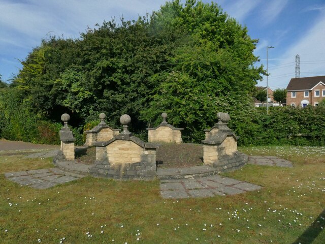
The forest is also steeped in history and folklore. Ancient burial mounds and remnants of Iron Age settlements can be found within its boundaries, offering a glimpse into the area's rich past. Local legends abound, with tales of mythical creatures and ghostly apparitions haunting the woodland.
White Wood, with its breathtaking natural beauty and rich history, is a true gem in the heart of Wiltshire. Whether seeking solitude, adventure, or a connection with nature, this forest provides an idyllic setting for all who visit.
If you have any feedback on the listing, please let us know in the comments section below.
White Wood Images
Images are sourced within 2km of 51.483243/-2.1439025 or Grid Reference ST9076. Thanks to Geograph Open Source API. All images are credited.
White Wood is located at Grid Ref: ST9076 (Lat: 51.483243, Lng: -2.1439025)
Unitary Authority: Wiltshire
Police Authority: Wiltshire
What 3 Words
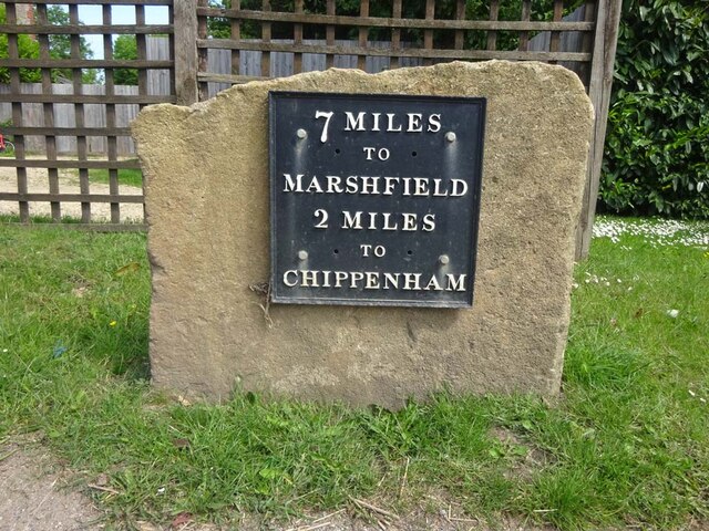
///down.staple.mixes. Near Chippenham, Wiltshire
Nearby Locations
Related Wikis
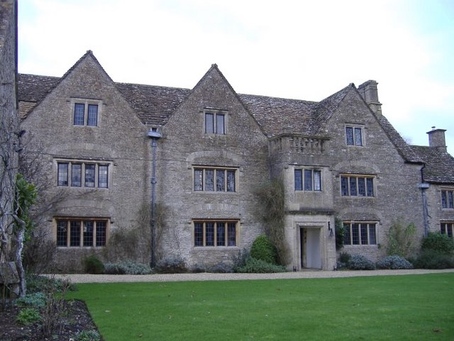
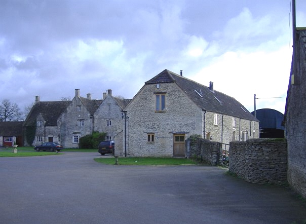
Bolehyde Manor
Bolehyde Manor is a 17th-century manor house at Allington, north-west of Chippenham, in Wiltshire, England. It is a Grade II* listed building within the...

Allington, North Wiltshire
Allington is a hamlet in north Wiltshire, England. It is on the edge of the market town of Chippenham, about 2 miles (3 km) north-west of the town centre...

Kington St Michael
Kington St Michael is a village and civil parish about 3 miles (4.8 km) north of Chippenham in Wiltshire, England. == Location == Kington St Michael is...

Chippenham Without
Chippenham Without is a civil parish in Wiltshire, England, created as a separate entity from the parish of Chippenham by the Local Government Act 1894...

Hardenhuish School
Hardenhuish School (formerly The Chippenham School, Chippenham Grammar School and Chippenham Girls' High School) is a large mixed secondary school and...
Sheldon School
Sheldon School (formerly Chippenham Boys' High School) is a large mixed secondary school and sixth form in Chippenham, Wiltshire for students aged 11 to...

Kington St. Michael Priory
St Mary's Priory was a Benedictine priory of nuns at Kington St Michael in Wiltshire, England. Founded before 1155, the priory was dissolved in 1536. Parts...
Chippenham Park F.C.
Chippenham Park Football Club was a football club based in Chippenham, Wiltshire, England, between 2012 and 2019. They were members of the Wiltshire League...
Nearby Amenities
Located within 500m of 51.483243,-2.1439025Have you been to White Wood?
Leave your review of White Wood below (or comments, questions and feedback).