Dairy Plantation
Wood, Forest in Wiltshire
England
Dairy Plantation
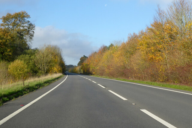
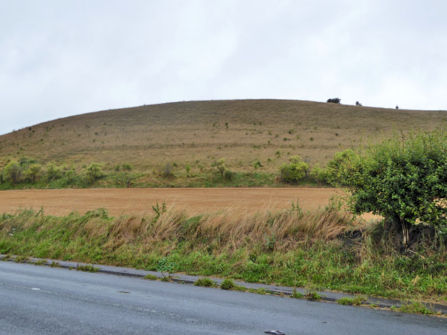
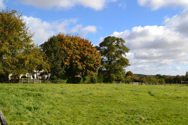
Dairy Plantation, located in Wiltshire, England, is a picturesque wood and forest area that spans over a considerable expanse of land. Situated in the southern part of the county, this diverse landscape offers a unique blend of natural beauty and agricultural heritage.
Covering an area of approximately [insert number] hectares, Dairy Plantation showcases a rich variety of flora and fauna. The woodlands are home to a range of tree species, including oak, beech, and birch, creating a stunning and vibrant canopy. The forest floor is adorned with an array of wildflowers, adding bursts of color throughout the seasons.
Dairy Plantation is also known for its thriving wildlife population. Visitors can spot a variety of animals, including deer, foxes, and numerous bird species, making it a haven for nature enthusiasts and birdwatchers.
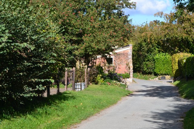
In addition to its natural splendor, Dairy Plantation has a strong historical significance. It is believed that the site was once used for dairy farming, hence the name. Remnants of old farm buildings and infrastructure can still be found scattered throughout the area, providing a glimpse into its past.
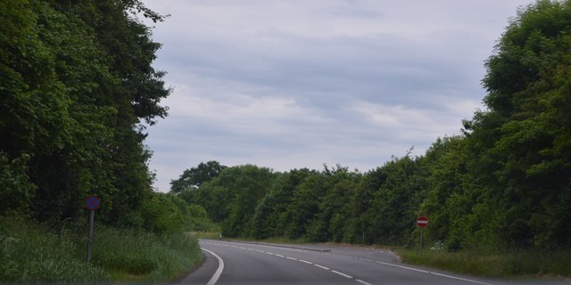
The plantation offers a range of recreational activities for visitors to enjoy. Well-maintained trails allow for leisurely walks and hikes, providing opportunities to explore the woodlands and discover its hidden gems. Picnic areas are also available, inviting visitors to relax and soak in the peaceful atmosphere.
Dairy Plantation, with its blend of natural beauty, wildlife, and historical charm, is a true gem in Wiltshire's landscape, attracting visitors from near and far. Whether it's a leisurely stroll or an immersive nature experience, this wood and forest area has something to offer for everyone.
If you have any feedback on the listing, please let us know in the comments section below.
Dairy Plantation Images
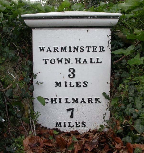
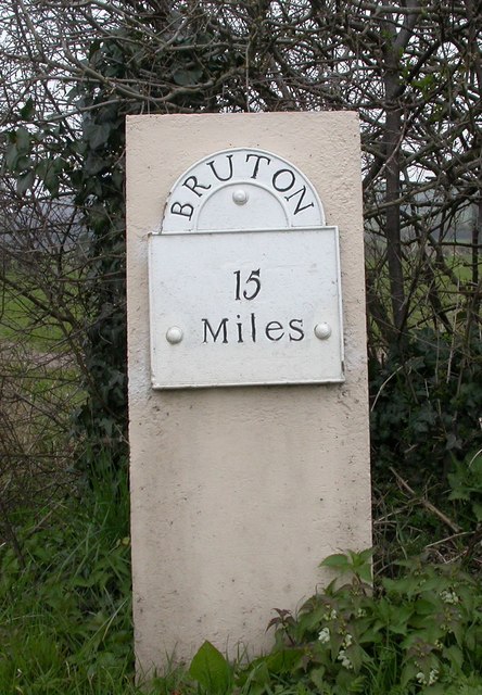
Images are sourced within 2km of 51.183847/-2.1428521 or Grid Reference ST9042. Thanks to Geograph Open Source API. All images are credited.
Dairy Plantation is located at Grid Ref: ST9042 (Lat: 51.183847, Lng: -2.1428521)
Unitary Authority: Wiltshire
Police Authority: Wiltshire
What 3 Words
///scored.takeovers.accent. Near Bishopstrow, Wiltshire
Nearby Locations
Related Wikis

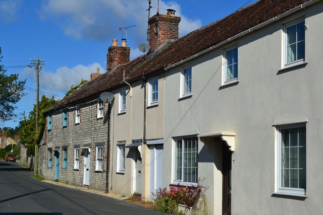
Sutton Veny
Sutton Veny is a village and civil parish in the Wylye valley, to the southeast of the town of Warminster in Wiltshire, England; the village is about 3...

Norton Bavant
Norton Bavant is a small village and civil parish in Wiltshire, England, 2 miles (3.2 km) southeast of Warminster. == Geography == The village is on the...

Bishopstrow
Bishopstrow is a small village and civil parish in Wiltshire, England, on the southeastern edge of the town of Warminster. The village is about 1.5 miles...
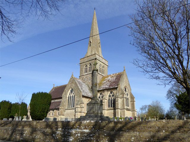
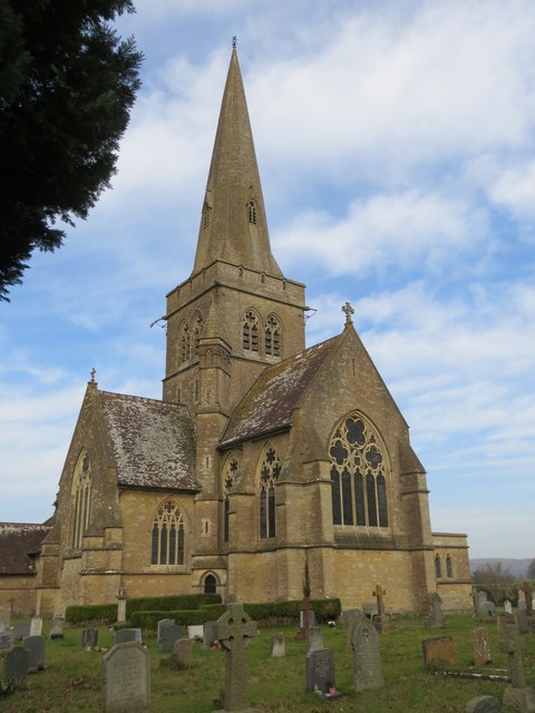
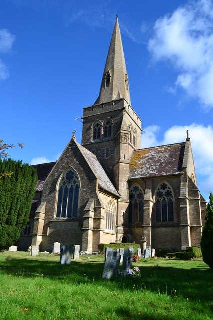
St Leonard's Church, Sutton Veny
St Leonard's Church in Sutton Veny, Wiltshire, England, was built in the 12th century. It is recorded in the National Heritage List for England as a Grade...
Nearby Amenities
Located within 500m of 51.183847,-2.1428521Have you been to Dairy Plantation?
Leave your review of Dairy Plantation below (or comments, questions and feedback).