Grey's Coppice
Wood, Forest in Dorset
England
Grey's Coppice
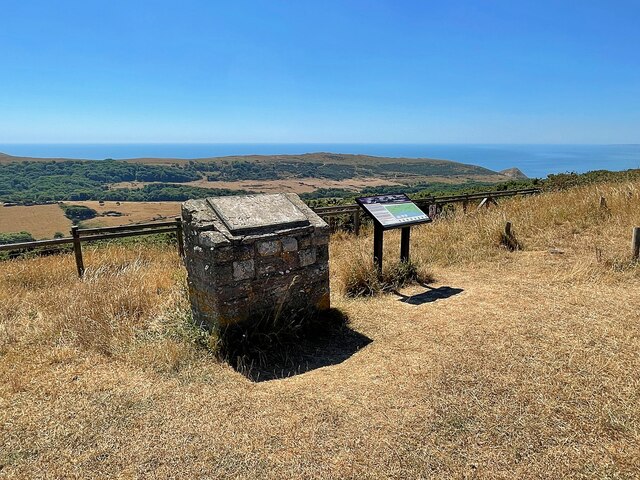
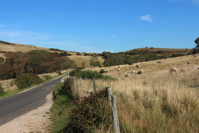
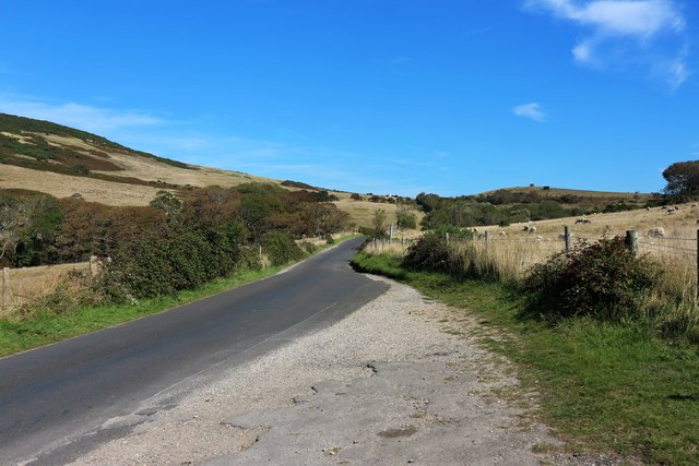
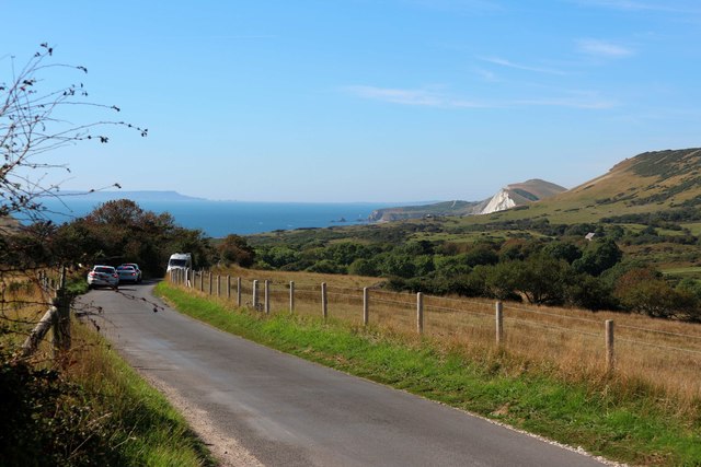
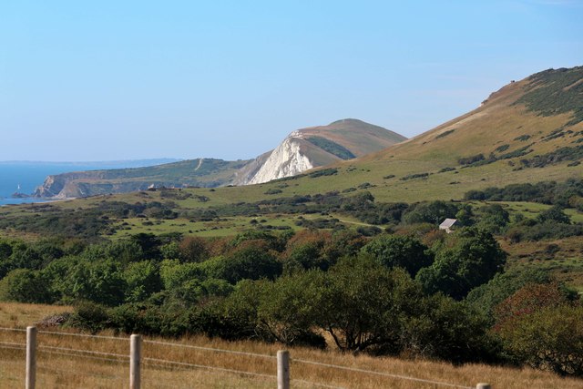
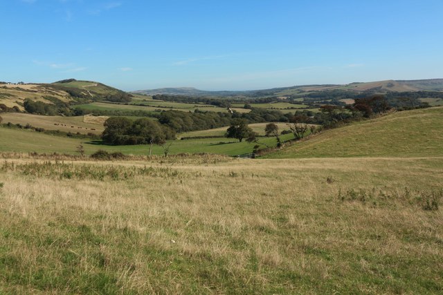
Grey's Coppice is a picturesque woodland located in the county of Dorset, England. Covering an area of approximately 50 acres, it is a renowned destination for nature lovers, hikers, and wildlife enthusiasts. The coppice is situated near the town of Wareham, nestled within the beautiful landscape of the Isle of Purbeck.
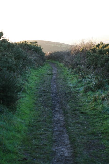
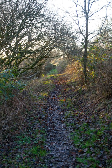
The woodland is primarily composed of oak and hazel trees, which create a dense and enchanting canopy. The leafy pathway winds through the woods, offering visitors a sense of tranquility and a chance to immerse themselves in the beauty of nature. The dappled sunlight filters through the foliage, casting a magical glow on the forest floor.
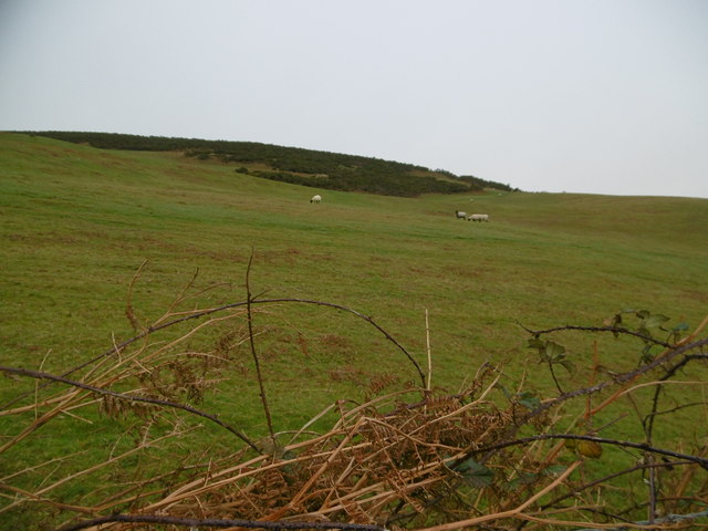
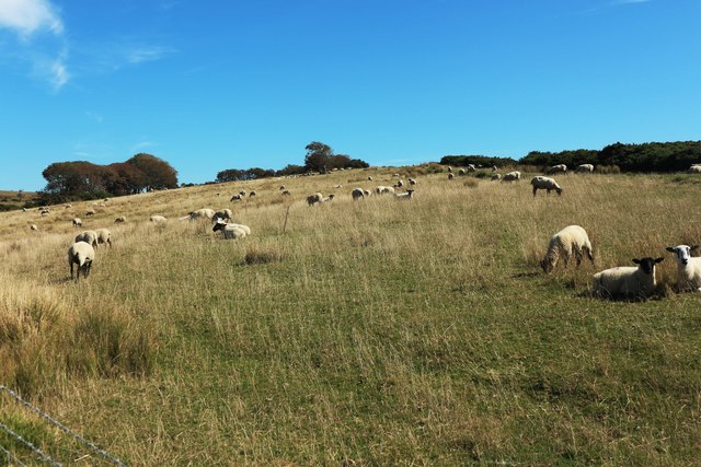
Grey's Coppice is known for its rich biodiversity, hosting a wide array of flora and fauna. It is home to various species of birds, including woodpeckers, warblers, and owls, making it a haven for birdwatchers. The woodland also supports a diverse range of plant life, with carpets of bluebells and primroses adorning the forest floor in spring.
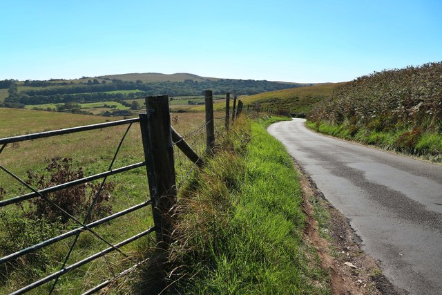
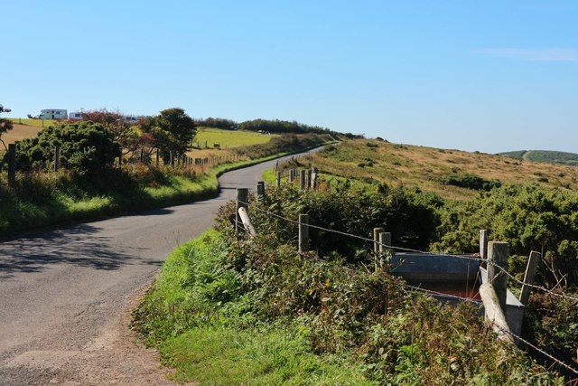
For those who enjoy outdoor activities, Grey's Coppice offers numerous opportunities for exploration and recreation. There are several well-marked trails that cater to different fitness levels, ranging from leisurely strolls to more challenging hikes. Along the way, visitors may encounter hidden ponds, ancient trees, and stunning viewpoints, providing a unique perspective of the surrounding countryside.
Overall, Grey's Coppice in Dorset is a captivating woodland that captivates visitors with its natural beauty, diverse wildlife, and tranquil atmosphere. It is a haven for those seeking a peaceful retreat or an adventure in the great outdoors.
If you have any feedback on the listing, please let us know in the comments section below.
Grey's Coppice Images
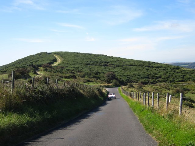
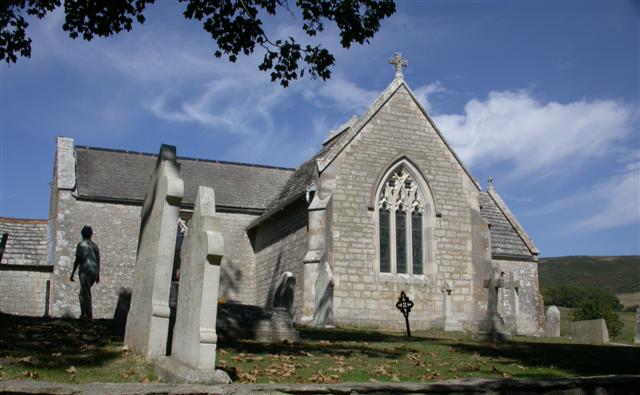
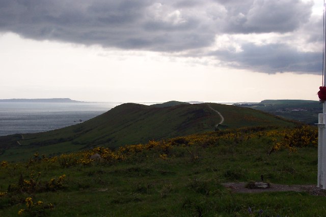
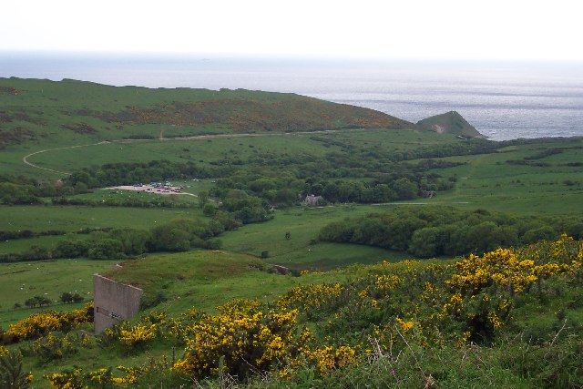
Images are sourced within 2km of 50.63857/-2.1475956 or Grid Reference SY8982. Thanks to Geograph Open Source API. All images are credited.
Grey's Coppice is located at Grid Ref: SY8982 (Lat: 50.63857, Lng: -2.1475956)
Unitary Authority: Dorset
Police Authority: Dorset
What 3 Words
///microchip.represent.monorail. Near Wareham, Dorset
Nearby Locations
Related Wikis

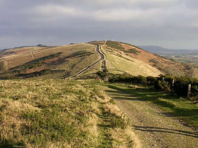
Povington Hill
Povington Hill, at 198 metres (650 ft) high, is one of the highest points on the chain of the Purbeck Hills in south Dorset on the southern coast of England...

Creech Grange
Creech Grange is a country house in Steeple, south of Wareham in Dorset at the foot of the Purbeck Hills. Historic England designate it as a Grade I listed...

Povington Priory
Povington Priory was a Benedictine priory in Tyneham, Dorset, England. It was established as an alien priory of the Abbey of Bec. This term could mean...

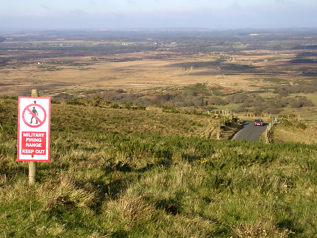
Lulworth Ranges
The Lulworth Ranges are military firing ranges located between Wareham and Lulworth in Dorset, England. They cover an area of more than 2,830 hectares...
Have you been to Grey's Coppice?
Leave your review of Grey's Coppice below (or comments, questions and feedback).