Whinny Fell
Wood, Forest in Northumberland
England
Whinny Fell
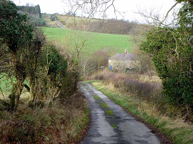
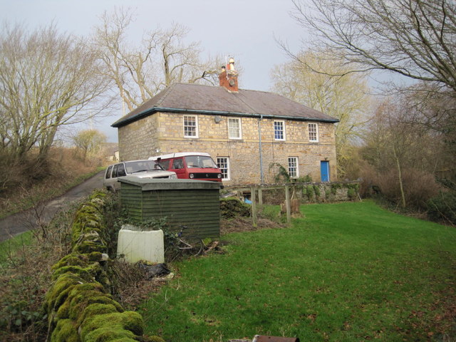
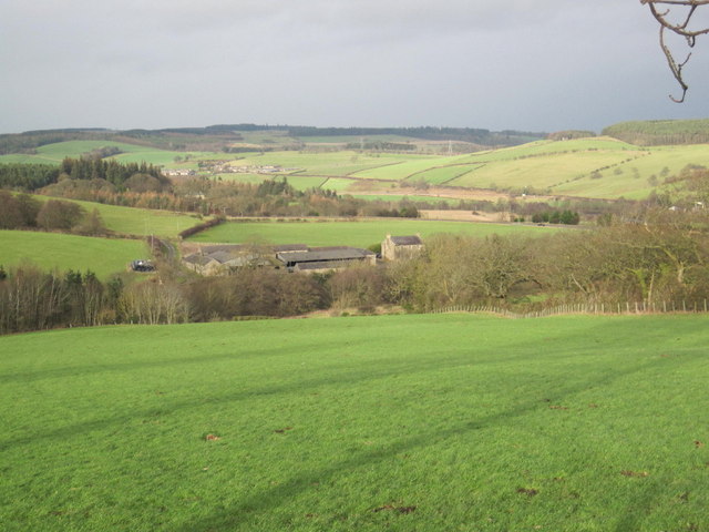
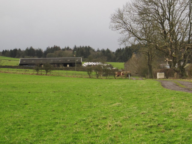
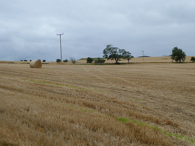
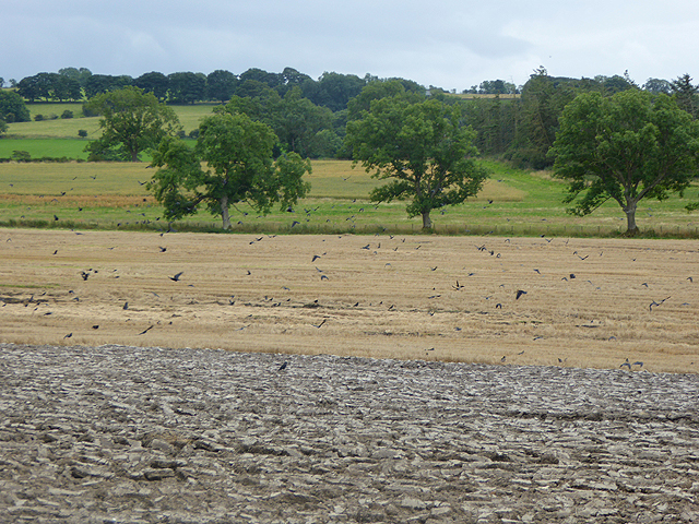
Whinny Fell is a picturesque woodland located in the county of Northumberland, England. Nestled in the northern part of the county, it is situated near the small village of Wood and covers an area of approximately 100 hectares. The forest is known for its rich biodiversity and stunning natural beauty.
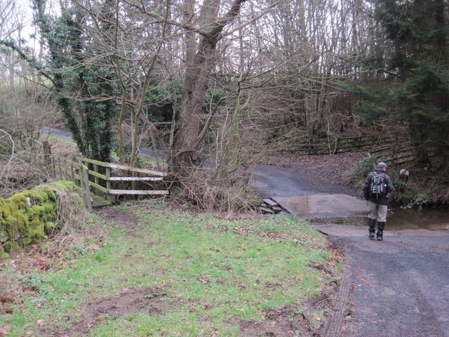
The woodland is predominantly composed of native tree species such as oak, beech, and birch, which create a lush canopy that provides shade and shelter for a wide variety of flora and fauna. The forest floor is adorned with an array of wildflowers, including bluebells, primroses, and foxgloves, adding bursts of vibrant color to the landscape.
Whinny Fell is home to numerous species of wildlife, making it a haven for nature enthusiasts and birdwatchers. Visitors can spot red squirrels darting through the trees, while lucky observers may catch a glimpse of the elusive roe deer or red fox. The forest is also a popular habitat for various bird species, including woodpeckers, owls, and thrushes.
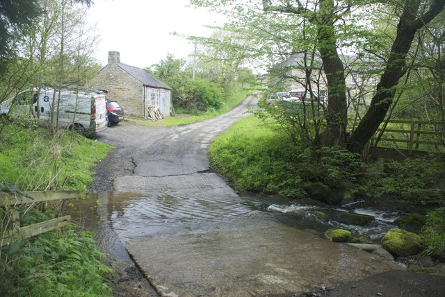
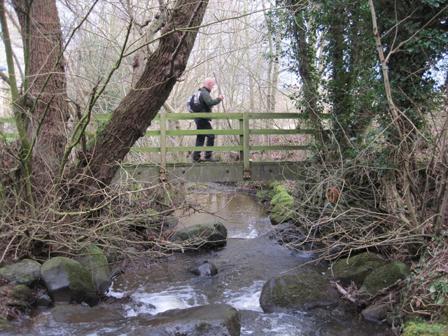
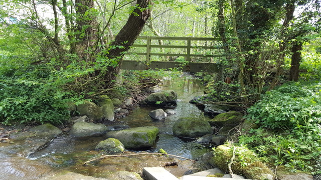
The woodland offers a network of well-maintained trails and paths, allowing visitors to explore its beauty on foot or by bicycle. These trails wind through the forest, crossing babbling brooks and meandering through tranquil glades. Along the way, visitors can find several picnic spots, offering a peaceful setting to relax and enjoy the surroundings.
Whinny Fell, with its stunning natural scenery and diverse wildlife, is a true gem of Northumberland. Whether one seeks a peaceful stroll, a birdwatching expedition, or simply a moment of serenity amidst nature, this woodland is a must-visit destination for nature lovers and outdoor enthusiasts.
If you have any feedback on the listing, please let us know in the comments section below.
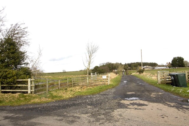
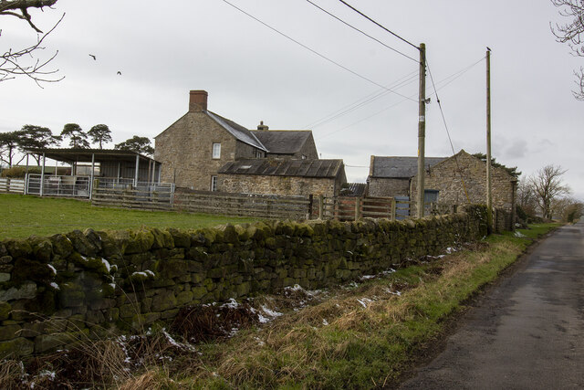
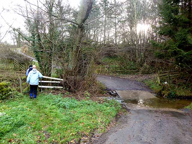
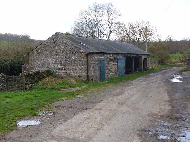
Whinny Fell Images
Images are sourced within 2km of 54.974041/-2.163096 or Grid Reference NY8964. Thanks to Geograph Open Source API. All images are credited.
Whinny Fell is located at Grid Ref: NY8964 (Lat: 54.974041, Lng: -2.163096)
Unitary Authority: Northumberland
Police Authority: Northumbria
What 3 Words
///sunk.harps.carriage. Near Warden, Northumberland
Nearby Locations
Related Wikis

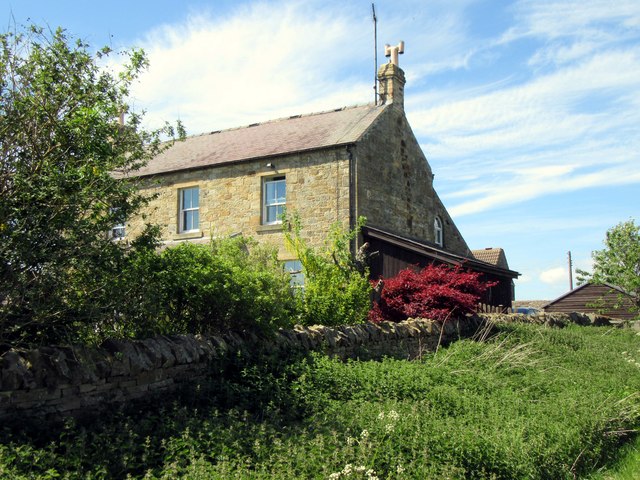
Bridge End, Northumberland
Bridge End is a village in Northumberland, England. It is situated in Warden civil parish to the west of Hexham, on the north bank of the River South Tyne...
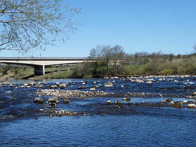
Constantius Bridge
Constantius Bridge is a modern concrete bridge across the River Tyne about 1 mile (2 km) north west of Hexham, Northumberland, England. The bridge carries...

Warden, Northumberland
Warden is a village in Northumberland, England about 2 miles (3 km) west of Hexham. The North and South Tyne meet near the village of Warden. There is...
Queen Elizabeth High School, Hexham
Queen Elizabeth High School (QEHS) is a coeducational high school and sixth form located in Hexham, Northumberland, England. == History == The school was...
St Joseph's Roman Catholic Middle School
St Joseph's Roman Catholic Middle School is one of the two middle schools in Hexham, Northumberland, England, the other being Hexham Middle School. The...

Fourstones railway station
Fourstones is a former railway station which served the villages of Fourstones and Newbrough in Northumberland between 1837 and 1967 on the Tyne Valley...

Hexham Old Bridge
Hexham Old Bridge was an 18th-century stone bridge across the River Tyne at Hexham, Northumberland, England. It was located about 1 mile (2 km) upstream...

Dare Wilson Barracks
Dare Wilson Barracks, is a military installation in Hexham, Northumberland. The building is named after Major General Dare Wilson who was commissioned...
Related Videos

Stanegate
Beautiful, beautiful, Northumberland... Join the Wheelygood Strava Club: https://www.strava.com/clubs/wheelygood.
Nearby Amenities
Located within 500m of 54.974041,-2.163096Have you been to Whinny Fell?
Leave your review of Whinny Fell below (or comments, questions and feedback).