Shellow Wood
Wood, Forest in Cheshire
England
Shellow Wood
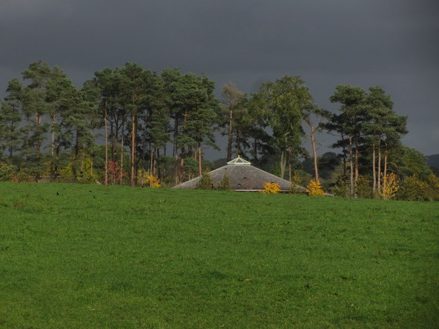
Shellow Wood is a picturesque woodland located in Cheshire, England. Covering an area of approximately 100 acres, it is a haven for nature enthusiasts and those looking to immerse themselves in the tranquility of the outdoors.
The wood is predominantly made up of broadleaf trees, such as oak, beech, and birch, which create a dense canopy overhead, providing shade and shelter for the wide variety of flora and fauna that call Shellow Wood home. The forest floor is blanketed with a rich carpet of wildflowers, ferns, and mosses, adding to its enchanting beauty.
Numerous walking trails wind their way through the wood, offering visitors the opportunity to explore its hidden corners and discover its hidden gems. Along these trails, one can encounter ancient trees, babbling brooks, and occasional glimpses of elusive wildlife, including deer, foxes, and a plethora of bird species.
Shellow Wood is not only a natural wonder but also holds historical significance. It is believed to have been used by the Celts and Romans for various purposes, including timber extraction and hunting. The wood's name itself, "Shellow," is derived from the Old English word for "shelter," indicating its historical role as a refuge.
Today, Shellow Wood is managed by a local conservation organization, which ensures its preservation and protection. It offers a range of educational programs and events to engage the local community and promote awareness about the importance of woodland conservation.
In conclusion, Shellow Wood is a captivating forest, boasting its natural beauty, rich biodiversity, and historical significance. It is a place where visitors can escape the hustle and bustle of daily life, connect with nature, and appreciate the wonders of the Cheshire countryside.
If you have any feedback on the listing, please let us know in the comments section below.
Shellow Wood Images
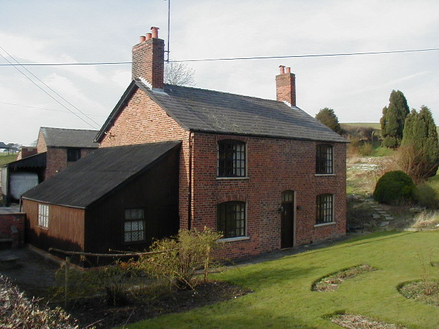
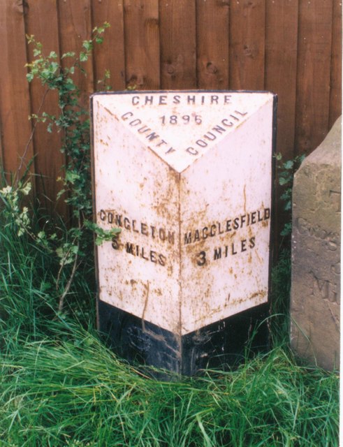
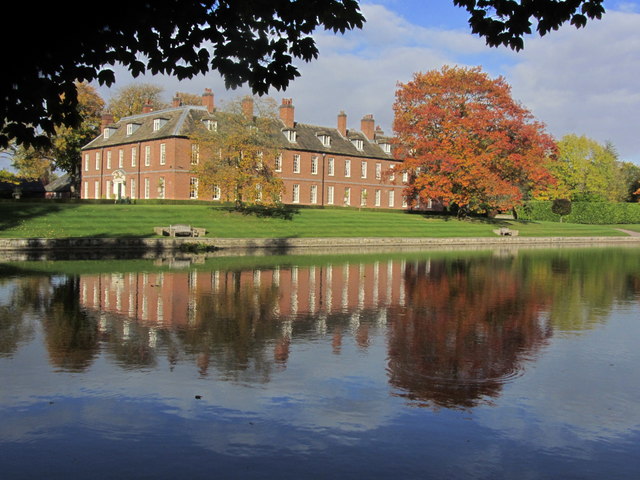
Images are sourced within 2km of 53.212241/-2.1716659 or Grid Reference SJ8868. Thanks to Geograph Open Source API. All images are credited.


Shellow Wood is located at Grid Ref: SJ8868 (Lat: 53.212241, Lng: -2.1716659)
Unitary Authority: Cheshire East
Police Authority: Cheshire
What 3 Words
///suckle.dustbin.gossiped. Near Eaton, Cheshire
Nearby Locations
Related Wikis

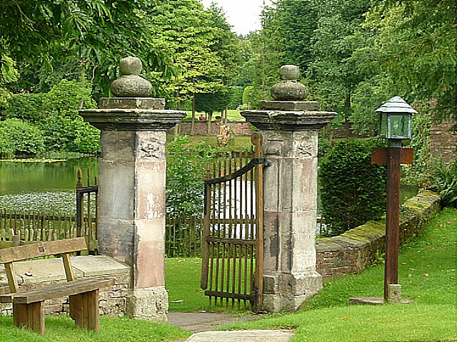
Gawsworth
Gawsworth is a civil parish and village in the unitary authority of Cheshire East and the ceremonial county of Cheshire, England. The population of the...

Harrington Arms, Gawsworth
The Harrington Arms is in Church Lane, Gawsworth, Cheshire, England, and is recorded in the National Heritage List for England as a designated Grade II...
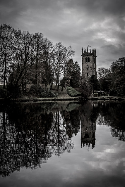
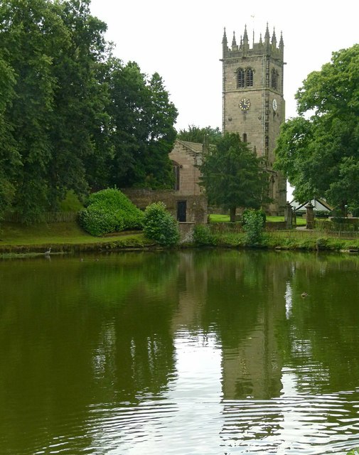
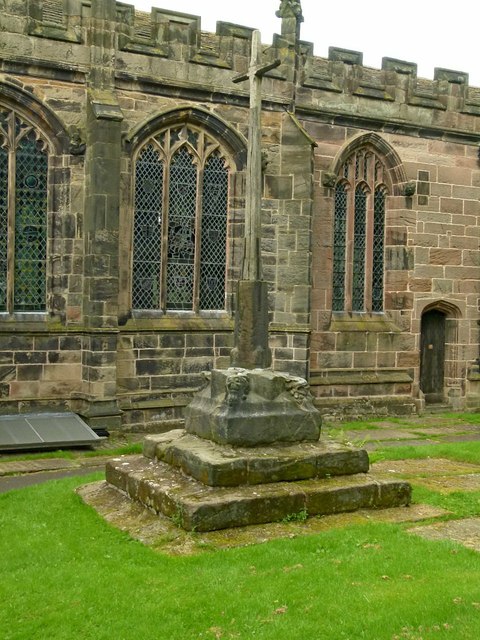
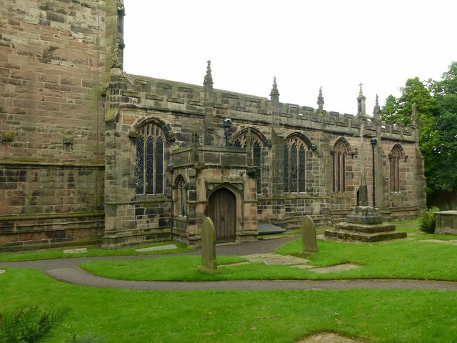
St James' Church, Gawsworth
St James' Church is in the village of Gawsworth, Cheshire, England, and is sited near Gawsworth Hall. It is recorded in the National Heritage List for...
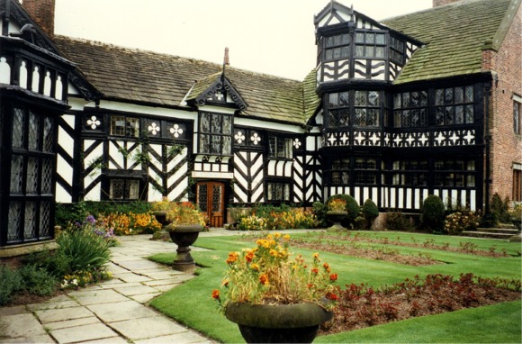
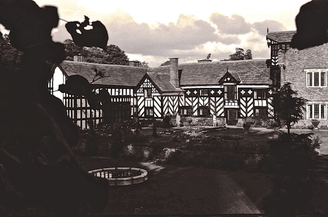
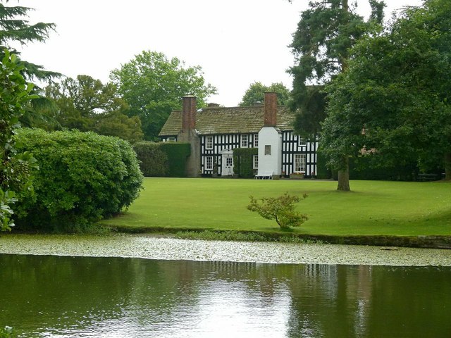
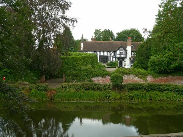
Gawsworth Old Hall
Gawsworth Old Hall is a Grade I listed country house in the village of Gawsworth, Cheshire, England. It is a timber-framed house in the Cheshire black...
Related Videos

Ultreia Mancunia St James’ Day Walk 2022
We visited 4 St James churches in the Peak District in order to celebrate the feast of St James the Apostle (25th July). Great day ...

Timelapse travel across the proposed development area
The proposed development area is so big at 55ha we needed to make a timelapse video to show it in all it's glory with it's myriad ...

Walking around the 2023 Gawsworth Hall classic car show!
Recently the magnificent Gawsworth Hall hosted their 2023 classic car show, which I will explore in this video. Possibly my ...

Nearby Amenities
Located within 500m of 53.212241,-2.1716659Have you been to Shellow Wood?
Leave your review of Shellow Wood below (or comments, questions and feedback).