Moneylaws Covert

Wood, Forest in Northumberland

England

Moneylaws Covert

Flodden Battlefield Monument (1513), Northumberland The Battle of Flodden, Flodden Field, or occasionally Branxton, was a battle fought on 9 September 1513 during the War of the League of Cambrai between the Kingdom of England and the Kingdom of Scotland, resulting in an English victory. The battle was fought near Branxton in the county of Northumberland in northern England, between an invading Scots army under King James IV and an English army commanded by the Earl of Surrey. In terms of troop numbers, it was the largest battle fought between the two kingdoms.

<span class="nowrap"><a title="https://en.wikipedia.org/wiki/Battle_of_Flodden" rel="nofollow ugc noopener" href="https://en.wikipedia.org/wiki/Battle_of_Flodden">Link</a><img style="margin-left:2px;" alt="External link" title="External link - shift click to open in new window" src="https://s1.geograph.org.uk/img/external.png" width="10" height="10"/></span>
Flodden Battlefield Monument (1513), Northumberland Credit: Brian Deegan

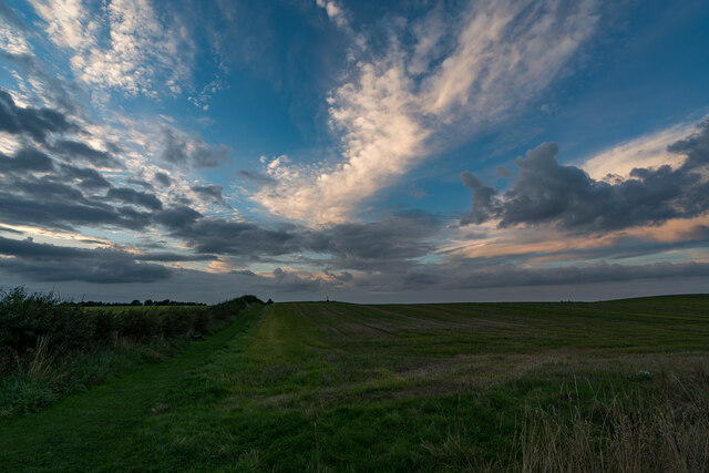
Moneylaws Covert is a picturesque woodland located in Northumberland, England. Spanning over a vast area, it is known for its natural beauty and rich biodiversity. The woodland is situated in the heart of Northumberland National Park, offering a tranquil escape from the hustle and bustle of city life.

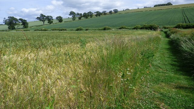
Covered by a dense canopy of trees, Moneylaws Covert is predominantly composed of native species such as oak, ash, and birch. The varied flora creates a vibrant and enchanting atmosphere, especially during spring when the forest floor is adorned with colorful wildflowers. The woodland also features a network of well-maintained footpaths, allowing visitors to explore and immerse themselves in the surrounding nature.

The diverse range of wildlife found in Moneylaws Covert is a testament to the health and vitality of the ecosystem. It serves as a habitat for numerous species including red squirrels, roe deer, and various bird species such as woodpeckers and owls. Nature enthusiasts and birdwatchers are often drawn to the area, as it provides ample opportunities for observation and photography.

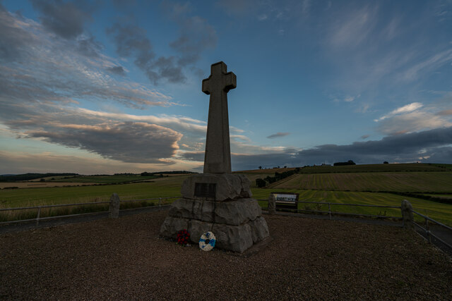
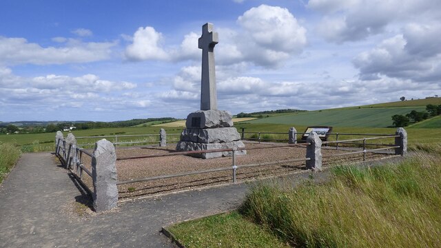
In addition to its natural allure, Moneylaws Covert holds historical significance. It was once part of the medieval hunting grounds for the Dukes of Northumberland, and remnants of this past can still be seen in the form of ancient boundary walls and earthworks.

Overall, Moneylaws Covert is a hidden gem in Northumberland, offering visitors a chance to connect with nature, explore its diverse flora and fauna, and appreciate the historical legacy of the region.

If you have any feedback on the listing, please let us know in the comments section below.

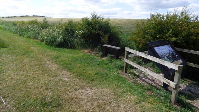
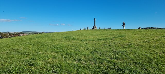
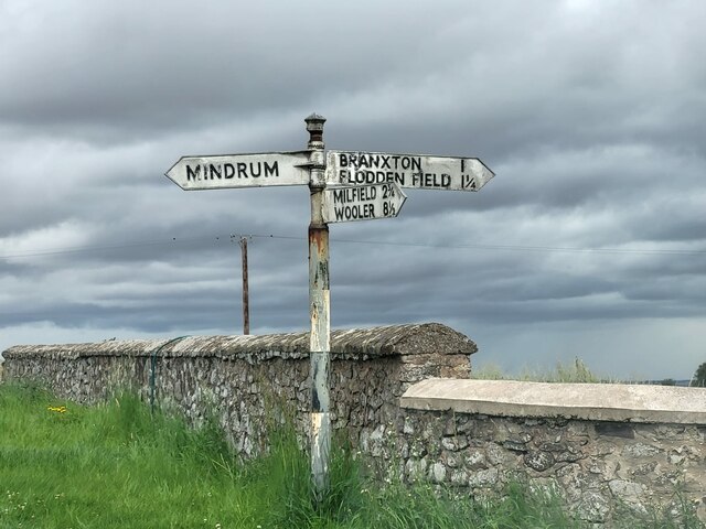
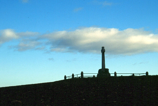
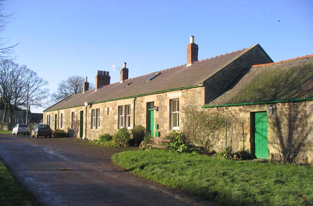
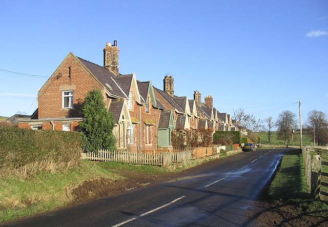
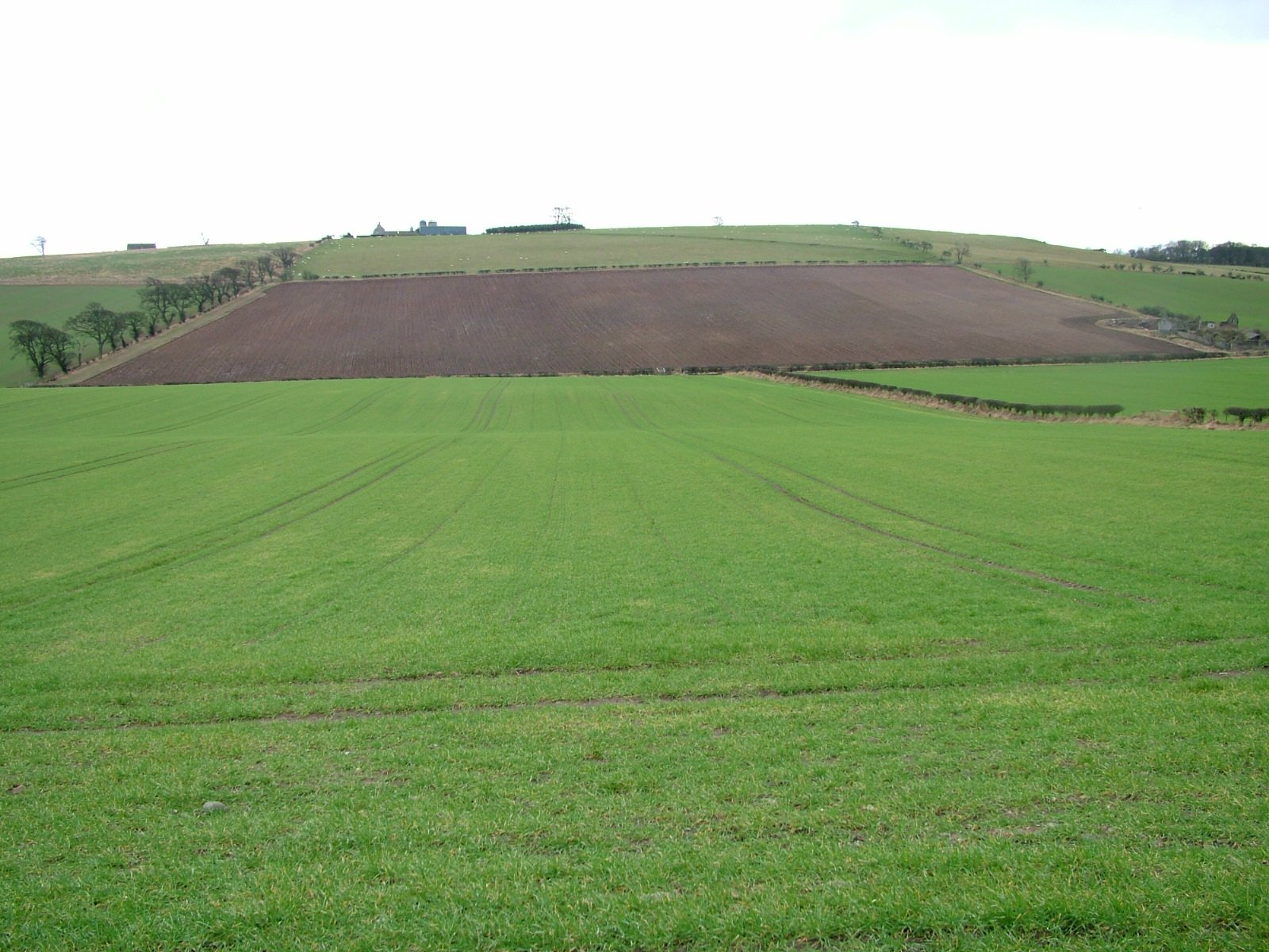
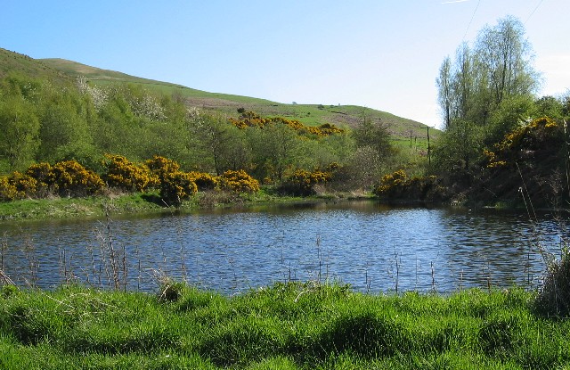
Moneylaws Covert Images

Images are sourced within 2km of 55.613403/-2.1819682 or Grid Reference NT8835. Thanks to Geograph Open Source API. All images are credited.

Flodden Battlefield Monument (1513), Northumberland The Battle of Flodden, Flodden Field, or occasionally Branxton, was a battle fought on 9 September 1513 during the War of the League of Cambrai between the Kingdom of England and the Kingdom of Scotland, resulting in an English victory. The battle was fought near Branxton in the county of Northumberland in northern England, between an invading Scots army under King James IV and an English army commanded by the Earl of Surrey. In terms of troop numbers, it was the largest battle fought between the two kingdoms.

<span class="nowrap"><a title="https://en.wikipedia.org/wiki/Battle_of_Flodden" rel="nofollow ugc noopener" href="https://en.wikipedia.org/wiki/Battle_of_Flodden">Link</a><img style="margin-left:2px;" alt="External link" title="External link - shift click to open in new window" src="https://s1.geograph.org.uk/img/external.png" width="10" height="10"/></span>
Flodden Battlefield Monument (1513), Northumberland
The Battle of Flodden, Flodden Field, or occasionally Branxton, was a battle fought on 9 September 1513 during the War of the League of Cambrai between the Kingdom of England and the Kingdom of Scotland, resulting in an English victory. The battle was fought near Branxton in the county of Northumberland in northern England, between an invading Scots army under King James IV and an English army commanded by the Earl of Surrey. In terms of troop numbers, it was the largest battle fought between the two kingdoms. LinkExternal link
Battle Ground Flodden (1513) Looking back up the hill to the monument. This would have been marsh ground and very difficult to cross.
Battle Ground Flodden (1513)
Looking back up the hill to the monument. This would have been marsh ground and very difficult to cross.
Battle of Flodden Field Monument <span class="nowrap"><a title="https://www.flodden1513ecomuseum.org/places/local/flodden-field" rel="nofollow ugc noopener" href="https://www.flodden1513ecomuseum.org/places/local/flodden-field">Link</a><img style="margin-left:2px;" alt="External link" title="External link - shift click to open in new window" src="https://s1.geograph.org.uk/img/external.png" width="10" height="10"/></span>
Battle of Flodden Field Monument
Flodden Field Where barley now grows there once was a bog that swallowed up an army.
Flodden Field
Where barley now grows there once was a bog that swallowed up an army.
Flodden Field At this spot James IV of Scotland was killed.
Flodden Field
At this spot James IV of Scotland was killed.
Stock Law, Northumberland Looking southeast across Stock Law. In the distance can be seen the Flodden Field Memorial.
Stock Law, Northumberland
Looking southeast across Stock Law. In the distance can be seen the Flodden Field Memorial.
Direction Sign – Signpost at Branxtonmoor Located on the north side of the T junction at Branxtonmoor in Branxton parish. 3 arms and cap finial. See also <a title="https://www.geograph.org.uk/photo/6559125" href="https://www.geograph.org.uk/photo/6559125">Link</a> and <a title="https://www.geograph.org.uk/photo/3647184" href="https://www.geograph.org.uk/photo/3647184">Link</a>.

Milestone Society National ID: NB_NT8935
Direction Sign – Signpost at Branxtonmoor
Located on the north side of the T junction at Branxtonmoor in Branxton parish. 3 arms and cap finial. See also Link and Link. Milestone Society National ID: NB_NT8935
Flodden Memorial This monument commemorates the Battle of Flodden Field in 1513.
Flodden Memorial
This monument commemorates the Battle of Flodden Field in 1513.
Flodden Monument, Branxton
Branxton Church
Branxton Church
Site of the Battle of Flodden Field Taken near the monument showing the field of battle (1513) with Branxton Hill in the background.
Site of the Battle of Flodden Field
Taken near the monument showing the field of battle (1513) with Branxton Hill in the background.
Monylaws trig Looking NE from position
Monylaws trig
Looking NE from position
A signpost for Moneylaws Directions for East and West Moneylaws from the minor road between East Learmouth and Branxton Moor.
A signpost for Moneylaws
Directions for East and West Moneylaws from the minor road between East Learmouth and Branxton Moor.
Tithe Hill Farm The small hill in the background is Blake Law.
Tithe Hill Farm
The small hill in the background is Blake Law.
Farm track Between East Moneylaws and West Moneylaws.
Farm track
Between East Moneylaws and West Moneylaws.
Cottages at East Moneylaws
Roadside hedge near Whaup Moor There has been new hedge planting to fill in the gaps.
Roadside hedge near Whaup Moor
There has been new hedge planting to fill in the gaps.
Sheep below Barley Hill Near Thornington Farm.
Sheep below Barley Hill
Near Thornington Farm.
Show me another place!

Moneylaws Covert is located at Grid Ref: NT8835 (Lat: 55.613403, Lng: -2.1819682)

Unitary Authority: Northumberland

Police Authority: Northumbria

What 3 Words

///vesting.podcast.boomer. Near Coldstream, Scottish Borders

Related Wikis

Howtel

Howtel is a village and former civil parish, now in the parish of Kilham, in Northumberland, England about 8 miles (13 km) northwest of Wooler. The name...

Battle of Flodden

The Battle of Flodden, Flodden Field, or occasionally Branxton or Brainston Moor was a battle that was fought on 9 September 1513 during the War of the...

Branxton, Northumberland

Branxton is a village and civil parish in northern Northumberland, England. It lies about 3 miles (5 km) from the England-Scotland border and about 4 miles...

Kilham, Northumberland

Kilham is a hamlet and civil parish in the English county of Northumberland, located 8.0 miles (12.9 km) west of Wooler, 12.0 miles (19.3 km) east of Kelso...

Nearby Amenities

Located within 500m of 55.613403,-2.1819682
Power: tower
Source: Bing
Lat/Long: 55.6142696/-2.1750747
The data included in this document is from www.openstreetmap.org. The data is made available under ODbL.

Have you been to Moneylaws Covert?

Leave your review of Moneylaws Covert below (or comments, questions and feedback).