Ford Plantations
Wood, Forest in Dorset
England
Ford Plantations
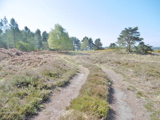
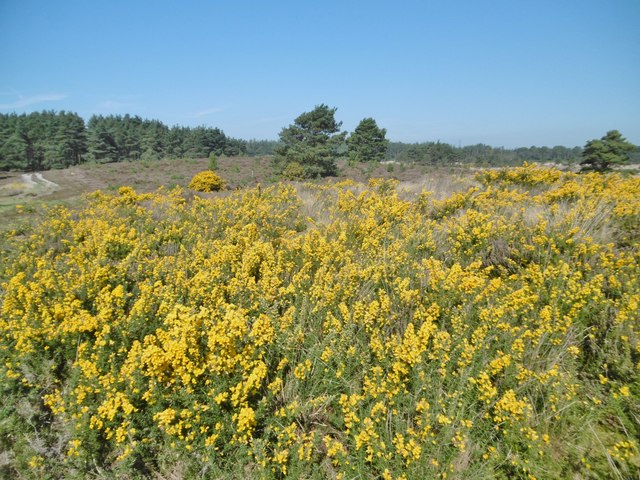
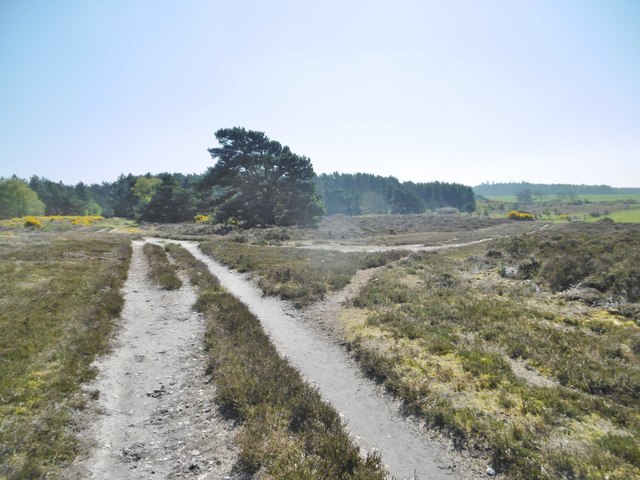
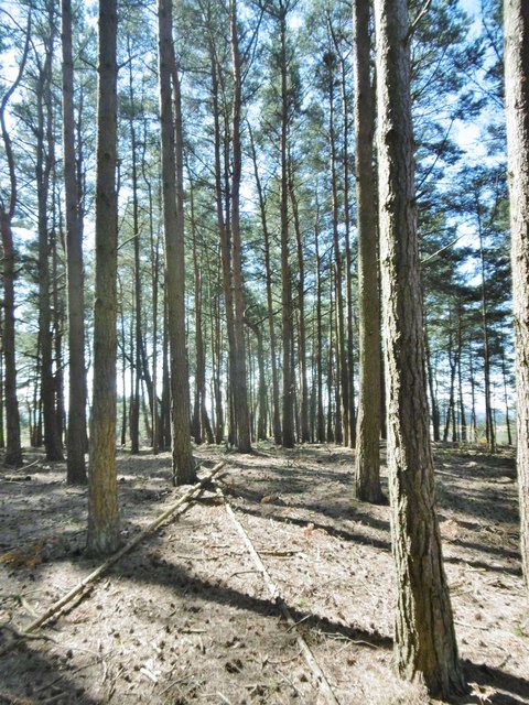
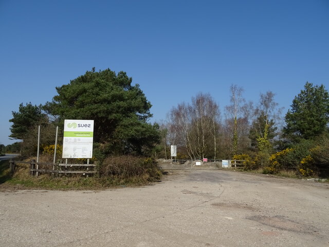
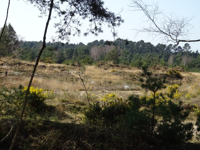
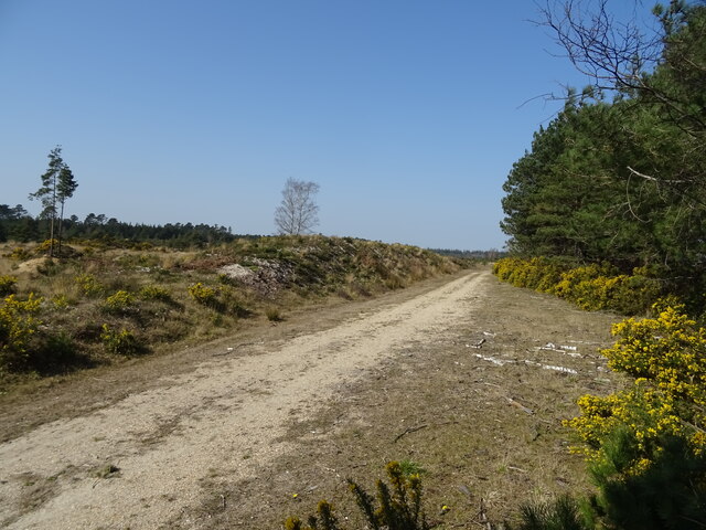
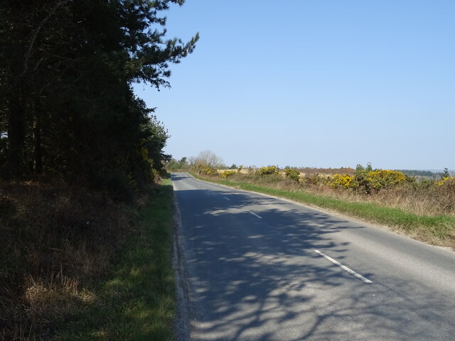
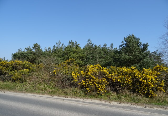
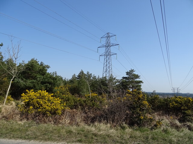
Ford Plantations, Dorset (Wood, Forest) is a historic estate located in the picturesque county of Dorset, England. Spread across a sprawling area, the plantation is known for its beautiful woodlands and lush forests, making it a haven for nature enthusiasts and outdoor lovers.
The plantation boasts a rich history, dating back several centuries. It was originally established as a timber-producing estate, with its woodlands being carefully managed and nurtured to provide a sustainable supply of timber for various purposes. Over the years, Ford Plantations has evolved into a thriving natural habitat, home to a diverse range of flora and fauna.
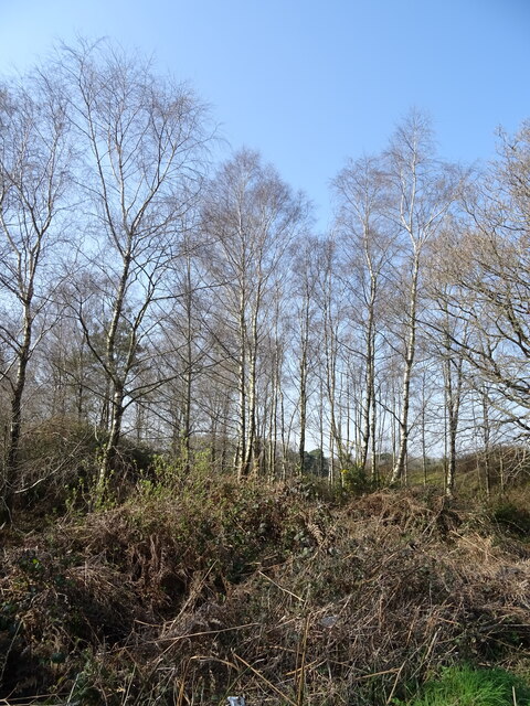
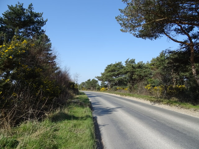
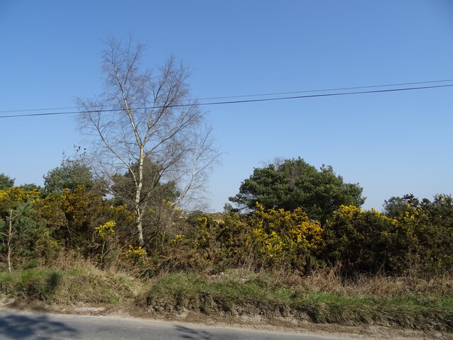
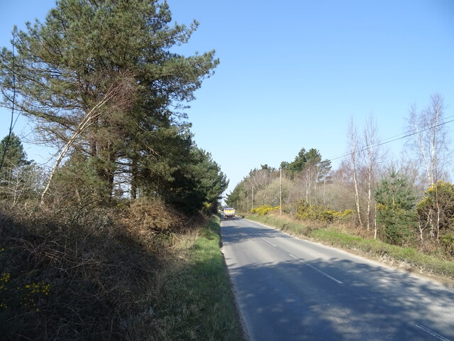
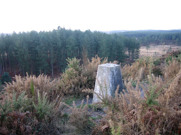
The woodlands at Ford Plantations are characterized by their dense canopy of trees, including oak, beech, and ash, among others. Walking through the plantation, one can witness the interplay of light and shade as sunlight filters through the lush foliage. The forest floor is adorned with a carpet of vibrant wildflowers and mosses, adding to the enchanting ambiance.
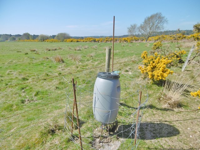
Visitors to Ford Plantations can explore the estate through a network of well-maintained trails, allowing them to immerse themselves in the tranquility of nature. Birdwatching enthusiasts will be delighted by the presence of various avian species, including woodpeckers, owls, and songbirds, among others. Additionally, the plantation is also home to a range of mammals, such as deer, foxes, and rabbits.
Ford Plantations, Dorset (Wood, Forest) offers a captivating experience for those seeking solace in nature's embrace. With its stunning woodlands, diverse wildlife, and rich history, it is a place where visitors can truly connect with the beauty of the natural world.
If you have any feedback on the listing, please let us know in the comments section below.
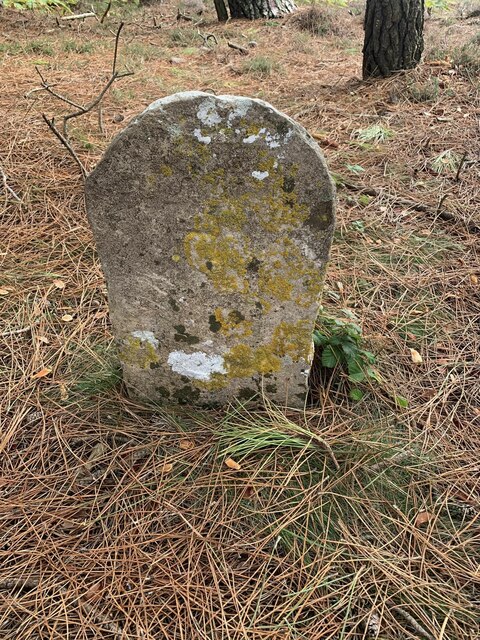
Ford Plantations Images
Images are sourced within 2km of 50.703498/-2.1734306 or Grid Reference SY8789. Thanks to Geograph Open Source API. All images are credited.

Ford Plantations is located at Grid Ref: SY8789 (Lat: 50.703498, Lng: -2.1734306)
Unitary Authority: Dorset
Police Authority: Dorset
What 3 Words
///annual.submerge.torso. Near Wool, Dorset
Nearby Locations
Related Wikis

Trigon Hill
Trigon Hill is a hill on the edge of a clay pit near Cold Harbour, Dorset, on the Dorset Heaths. It rises about 3 kilometres northwest of the centre of...
Wareham Forest
Wareham Forest is an area of countryside in Dorset, England, consisting of open heathland, including Decoy Heath and Gore Heath, and plantations of conifers...
Worgret Heath
Worgret Heath SSSI, Dorset (grid reference SY895871) is an 8.4 hectare biological Site of Special Scientific Interest in Dorset, notified in 1987.The site...

East Stoke, Dorset
East Stoke is a village in the English county of Dorset. It lies three miles west of the small town of Wareham and two miles east of Wool. In 2013 the...
Monkey World
The Monkey World Ape Rescue Centre is a 65-acre (26.3 ha) ape and monkey sanctuary and rescue centre near Wool, Dorset, England. == History == Set up in...
Woolsbarrow Hillfort
Woolsbarrow Hillfort is a hillfort on Bloxworth Heath in the district of Purbeck in the county of Dorset, England. It dates to the period from the Late...

Worgret
Worgret is a hamlet in the English county of Dorset. It is situated immediately to the west of the town of Wareham. Worgret forms part of the civil parish...
Bere Stream
Bere Stream (grid reference SY860926) is an 11.2 hectare biological Site of Special Scientific Interest in Dorset, notified in 1977. == Sources == English...
Nearby Amenities
Located within 500m of 50.703498,-2.1734306Have you been to Ford Plantations?
Leave your review of Ford Plantations below (or comments, questions and feedback).