Larch Plantation

Wood, Forest in Dorset

England

Larch Plantation

Old Boundary Marker on Lower Hyde Heath Boundary Marker on Lower Hyde Heath, southwest of Stroud Bridge. On the boundary of Bere Regis and Wareham St Martin parishes.

Milestone Society National ID: DO_BERWSM01bm
Old Boundary Marker on Lower Hyde Heath Credit: W Halliday

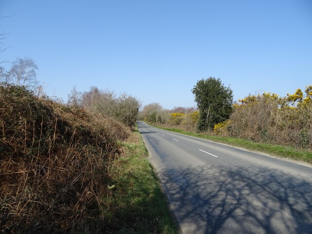
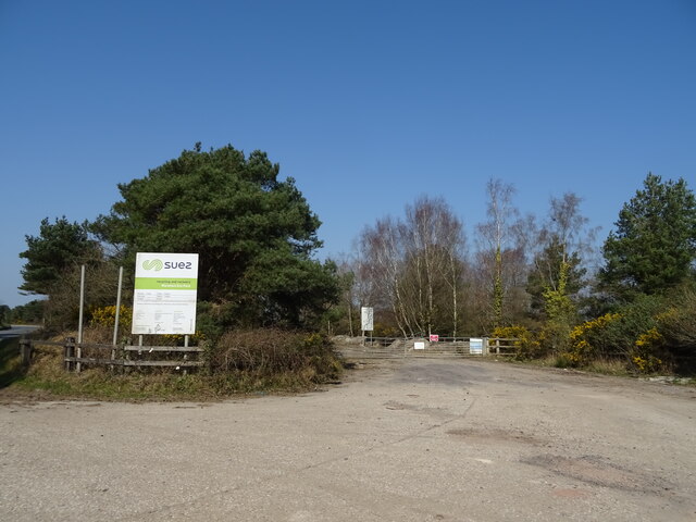
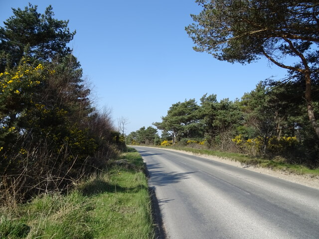
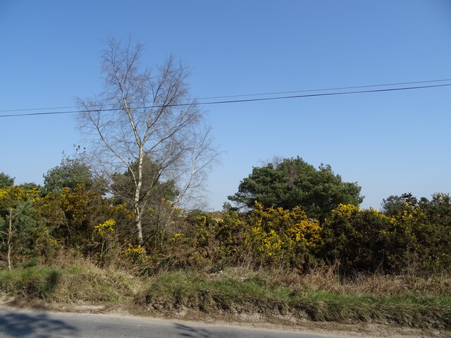
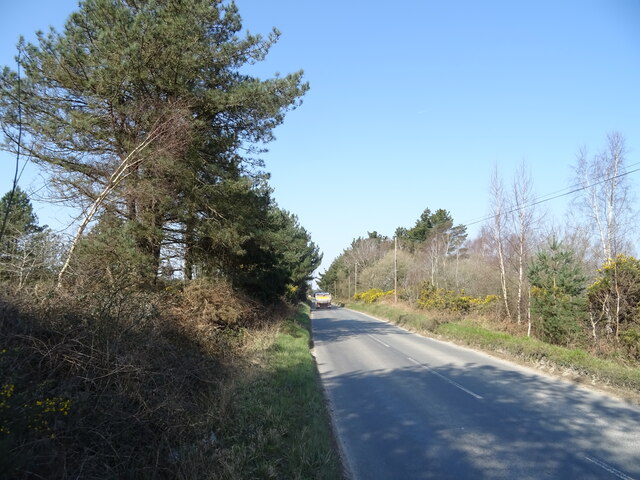
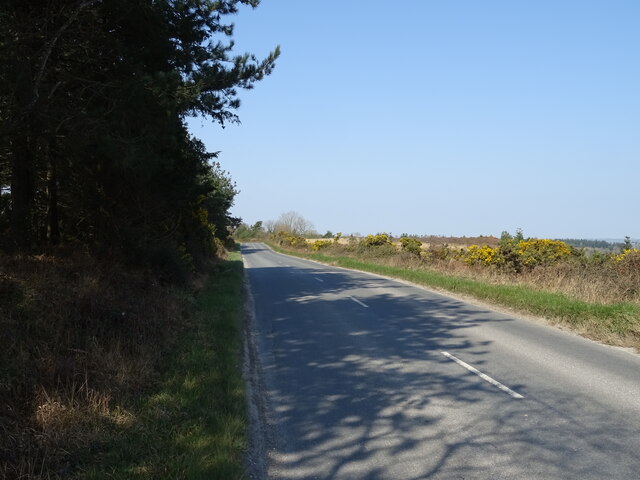
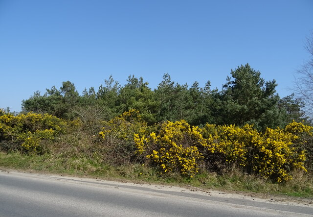
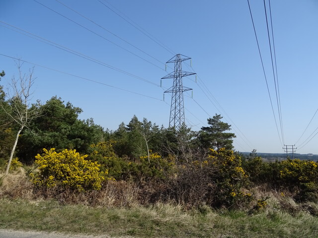
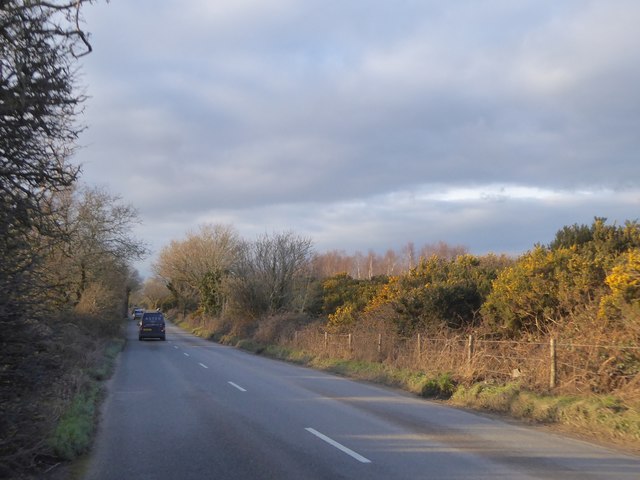
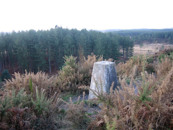
Larch Plantation, located in Dorset, is a captivating woodland area that boasts an extensive collection of larch trees. Situated in the southwest region of England, Dorset is renowned for its picturesque landscapes, and Larch Plantation contributes to this natural beauty.

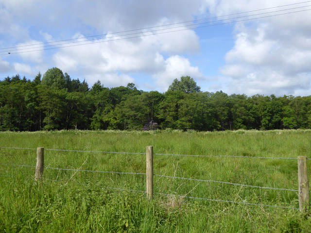
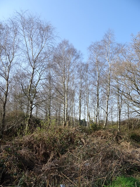
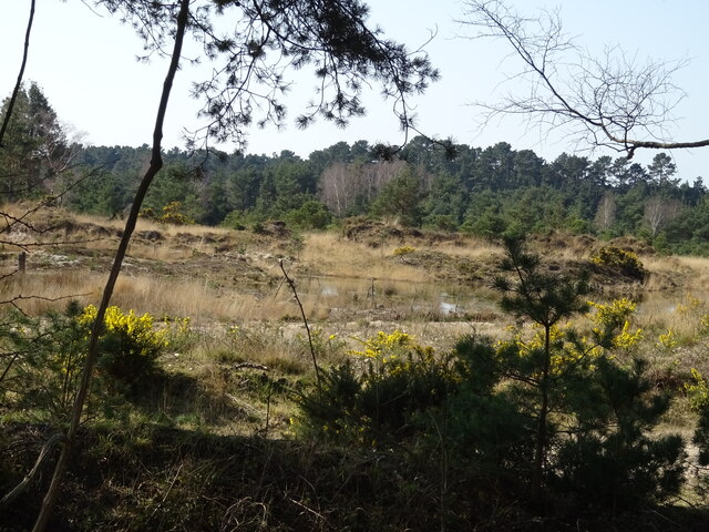
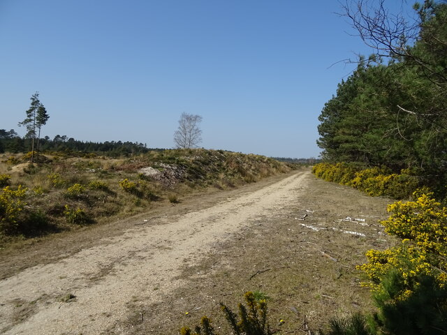
The plantation covers a substantial area, with acres upon acres of dense forest filled with larch trees. The larch, scientifically known as Larix decidua, is a deciduous coniferous tree that is native to the mountains of central Europe. It is distinguishable by its needle-like leaves that turn a vibrant golden color in the autumn months before shedding.

Walking through Larch Plantation offers a serene experience, with the sound of rustling leaves underfoot and the scent of damp earth permeating the air. The trees provide a canopy of shade, creating a cool and tranquil atmosphere, particularly during the hot summer months.

The plantation is home to a diverse range of wildlife, including numerous bird species such as woodpeckers and owls. Squirrels can also be spotted scurrying up and down the trunks of the larch trees, collecting food for their winter stores.

Larch Plantation is a popular destination for nature enthusiasts, hikers, and photographers. Its beauty and tranquility make it an ideal spot for those seeking solace and a connection with nature. Whether it be a leisurely stroll or a more adventurous hike, Larch Plantation offers a captivating experience for visitors of all ages.

If you have any feedback on the listing, please let us know in the comments section below.

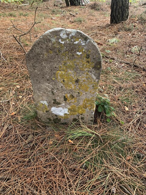
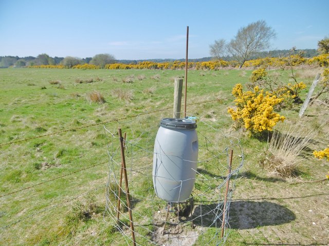
Larch Plantation Images

Images are sourced within 2km of 50.702268/-2.177745 or Grid Reference SY8789. Thanks to Geograph Open Source API. All images are credited.

Old Boundary Marker on Lower Hyde Heath Boundary Marker on Lower Hyde Heath, southwest of Stroud Bridge. On the boundary of Bere Regis and Wareham St Martin parishes.

Milestone Society National ID: DO_BERWSM01bm
Old Boundary Marker on Lower Hyde Heath
Boundary Marker on Lower Hyde Heath, southwest of Stroud Bridge. On the boundary of Bere Regis and Wareham St Martin parishes. Milestone Society National ID: DO_BERWSM01bm
Lower Hyde Common, bird feeder At the boundary of heathland and coarse grazing, on the Trigon Estate.
Lower Hyde Common, bird feeder
At the boundary of heathland and coarse grazing, on the Trigon Estate.
Woodland, River Piddle valley Looking across one of the strands of the Piddle, hidden by lush vegetation, but marked by the line of a white umbellifer.
Woodland, River Piddle valley
Looking across one of the strands of the Piddle, hidden by lush vegetation, but marked by the line of a white umbellifer.
Birch woodland beside Puddletown Road
Puddletown Road
Puddletown Road
Entrance to Wareham Eco Park
Bend in Puddletown Road
Woodland beside Puddletown Road
Puddletown Road
Puddletown Road
Gravel Pit, Stokeford Heath
Track, Stokeford Heath
Puddletown Road
Puddletown Road
Woodland beside Puddletown Road
Puddletown Road
Puddletown Road
Woodland and powerlines, South Heath
Gorse by Puddletown Road Beyond the gorse and the earth bank are the gravel works
Gorse by Puddletown Road
Beyond the gorse and the earth bank are the gravel works
Warning of sand and gravel traffic crossing Puddletown Road
Entrance to Binnegar Quarry from Puddletown Road
Show me another place!

Larch Plantation is located at Grid Ref: SY8789 (Lat: 50.702268, Lng: -2.177745)

Unitary Authority: Dorset

Police Authority: Dorset

What 3 Words

///verges.airbag.contrived. Near Wool, Dorset

Related Wikis

Trigon Hill

Trigon Hill is a hill on the edge of a clay pit near Cold Harbour, Dorset, on the Dorset Heaths. It rises about 3 kilometres northwest of the centre of...

Wareham Forest

Wareham Forest is an area of countryside in Dorset, England, consisting of open heathland, including Decoy Heath and Gore Heath, and plantations of conifers...

East Stoke, Dorset

East Stoke is a village in the English county of Dorset. It lies three miles west of the small town of Wareham and two miles east of Wool. In 2013 the...

Worgret Heath

Worgret Heath SSSI, Dorset (grid reference SY895871) is an 8.4 hectare biological Site of Special Scientific Interest in Dorset, notified in 1987.The site...

Monkey World

The Monkey World Ape Rescue Centre is a 65-acre (26.3 ha) ape and monkey sanctuary and rescue centre near Wool, Dorset, England. == History == Set up in...

Woolsbarrow Hillfort

Woolsbarrow Hillfort is a hillfort on Bloxworth Heath in the district of Purbeck in the county of Dorset, England. It dates to the period from the Late...

Woolbridge Manor House

Woolbridge Manor is a 17th-century manor house just outside the village of Wool, in Dorset, England. English Heritage have designated it a Grade II* listed...

Bindon Abbey

Bindon Abbey (Bindonium) was a Cistercian monastery, of which only ruins remain, on the River Frome about half a mile east of Wool in the Purbeck District...

Nearby Amenities

Located within 500m of 50.702268,-2.177745
Scout Adventures Buddens
Addr City: Wareham
Addr Postcode: BH20 7NU
Addr Street: Puddletown Road
Tourism: camp_site
Lat/Long: 50.7029128/-2.1812367
Power: tower
Source: bing
Lat/Long: 50.7050528/-2.1752894
Power: tower
Source: bing
Lat/Long: 50.7048688/-2.1800311
Material: wood
Power: pole
Source: bing
Lat/Long: 50.6981883/-2.1784038
Material: wood
Power: pole
Source: bing
Lat/Long: 50.6998025/-2.1779067
Material: wood
Power: pole
Source: bing
Lat/Long: 50.700734/-2.1776372
Material: wood
Power: pole
Source: bing
Lat/Long: 50.7015427/-2.179262
Material: wood
Power: pole
Source: bing
Lat/Long: 50.7023238/-2.180833
Material: wood
Power: pole
Source: bing
Lat/Long: 50.7028439/-2.1818411
Material: wood
Power: pole
Source: bing
Lat/Long: 50.7033343/-2.1828775
Material: wood
Power: pole
Source: bing
Lat/Long: 50.7034574/-2.1833509
Material: wood
Power: pole
Source: bing
Lat/Long: 50.7034915/-2.1822071
Material: wood
Power: pole
Source: bing
Lat/Long: 50.7035822/-2.1833739
Material: wood
Power: pole
Source: bing
Lat/Long: 50.7036585/-2.1811277
Material: wood
Power: pole
Source: bing
Lat/Long: 50.7039294/-2.179924
Material: wood
Power: pole
Source: bing
Lat/Long: 50.7043977/-2.1776698
Material: wood
Power: pole
Source: bing
Lat/Long: 50.7048547/-2.1753773
Budden's Farm
Place: farm
Lat/Long: 50.7041813/-2.1824696
Poles: bipole
Power: pole
Source: bing
Lat/Long: 50.704894/-2.1731473
The data included in this document is from www.openstreetmap.org. The data is made available under ODbL.

Have you been to Larch Plantation?

Leave your review of Larch Plantation below (or comments, questions and feedback).