Biss Wood
Wood, Forest in Wiltshire
England
Biss Wood
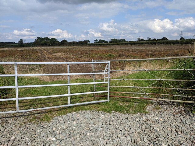
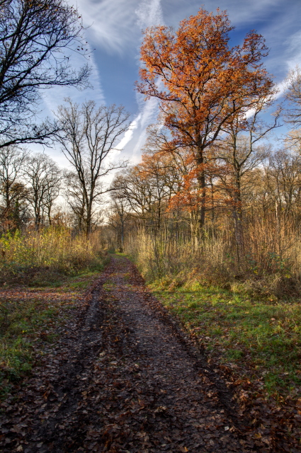
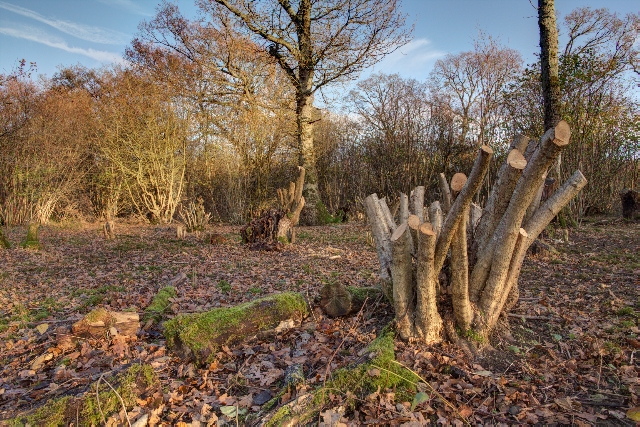
Biss Wood is a picturesque woodland located in the county of Wiltshire, England. Covering an area of approximately 300 acres, this forested area is a haven for nature lovers and outdoor enthusiasts alike.
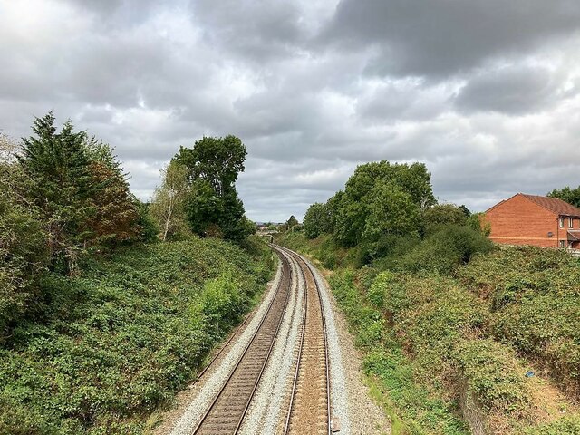
The wood is predominantly composed of broadleaf trees, including oak, beech, and birch, creating a diverse and vibrant ecosystem. The dense canopy provides a sheltered habitat for a variety of bird species, such as woodpeckers, owls, and thrushes. In addition, the forest floor is adorned with a rich carpet of wildflowers during the spring and summer months, attracting a range of insects and butterflies.
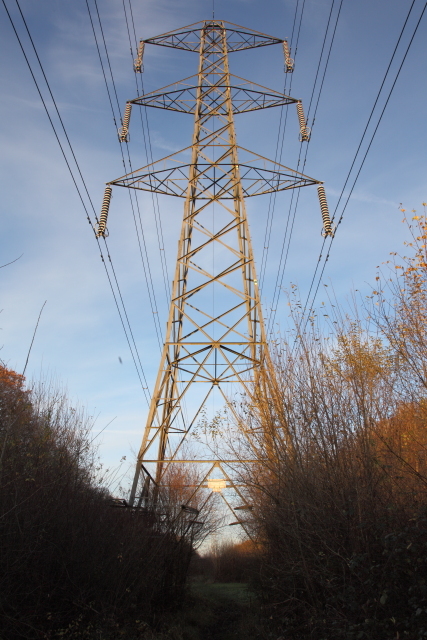
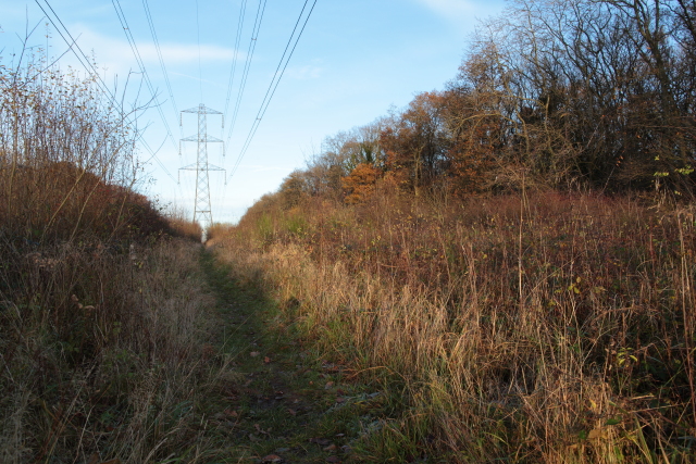
Traversing through Biss Wood, visitors can explore an extensive network of well-maintained footpaths and trails. These paths offer an opportunity to immerse oneself in the serene atmosphere of the forest, while also providing access to the picturesque River Biss, which meanders through the woodland. The river is teeming with wildlife, including trout and kingfishers, making it a popular spot for fishing and birdwatching.
Biss Wood also boasts some unique features, such as the remains of an ancient hill fort known as Cley Hill. This historical site offers a glimpse into the region's past and provides a panoramic view of the surrounding countryside.
Overall, Biss Wood offers a tranquil retreat from the hustle and bustle of everyday life. Its natural beauty, diverse flora and fauna, and historical significance make it a popular destination for both locals and tourists seeking a peaceful escape in the heart of Wiltshire.
If you have any feedback on the listing, please let us know in the comments section below.
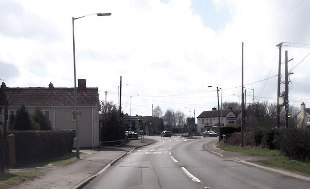
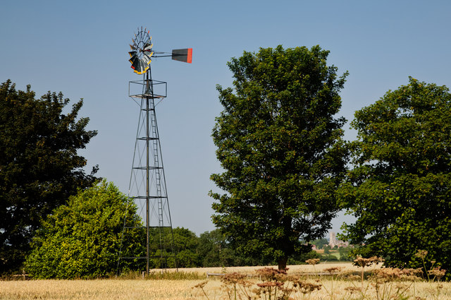
Biss Wood Images
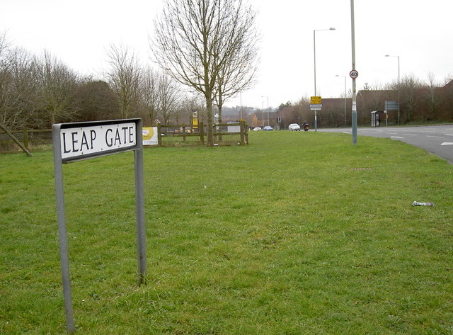
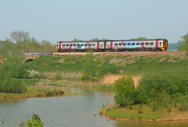
Images are sourced within 2km of 51.308849/-2.1775138 or Grid Reference ST8756. Thanks to Geograph Open Source API. All images are credited.
Biss Wood is located at Grid Ref: ST8756 (Lat: 51.308849, Lng: -2.1775138)
Unitary Authority: Wiltshire
Police Authority: Wiltshire
What 3 Words
///sliders.florists.public. Near Trowbridge, Wiltshire
Nearby Locations
Related Wikis

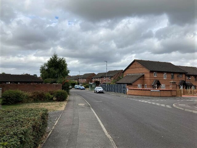
West Ashton
West Ashton is a village and civil parish in Wiltshire, England. It is about 2 miles (3.2 km) southeast of Trowbridge, near the A350 between Melksham and...

Rood Ashton House
Rood Ashton House was a country house in Wiltshire, England, standing in parkland 0.5 miles (0.80 km) northeast of the village of West Ashton, near Trowbridge...

Yarnbrook
Yarnbrook is a large hamlet in Wiltshire, England, between the towns of Westbury and Trowbridge. Most of the settlement lies in the civil parish of North...

The Polebarn Hotel
The Polebarn Hotel in Trowbridge, Wiltshire (formerly Polebarn House) is a building of historical significance and is Grade II* listed on the Historic...

Castle Place Shopping Centre
Castle Place Shopping Centre is a shopping centre in Trowbridge, England.The shopping centre was purchased by Legal & General Property in 2010. In 2011...

Trowbridge Town Hall
Trowbridge Town Hall is a municipal building in Market Street, Trowbridge, Wiltshire, England. The town hall, which was the headquarters of Trowbridge...

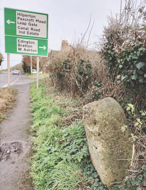
Hilperton
Hilperton is a village and civil parish in Wiltshire, England. The village is separated by a few fields (the Hilperton Gap) from the northeastern edge...
Wiltshire Library and Information Service
Wiltshire Library and Information Service is a county-wide network of public libraries based in Trowbridge, Wiltshire, England. It is service of Wiltshire...
Nearby Amenities
Located within 500m of 51.308849,-2.1775138Have you been to Biss Wood?
Leave your review of Biss Wood below (or comments, questions and feedback).