Long Field
Wood, Forest in Northumberland
England
Long Field
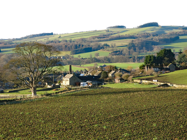
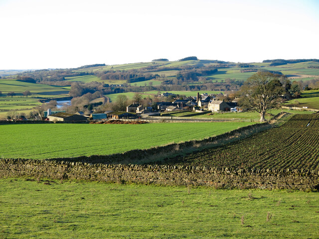
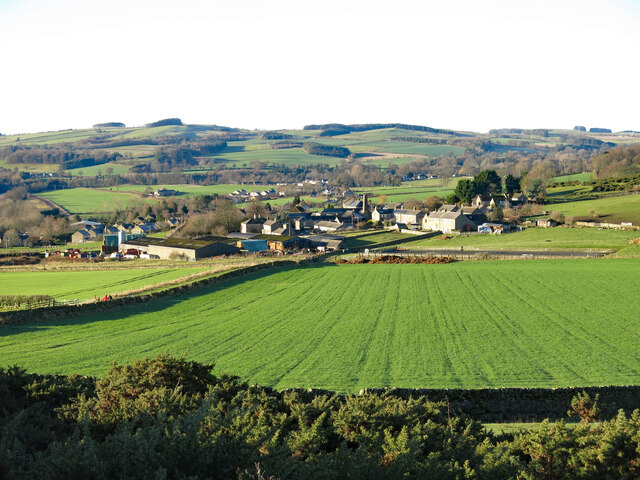
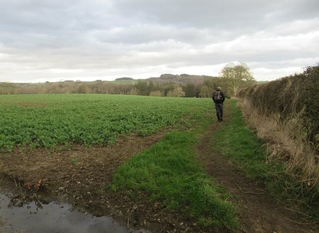
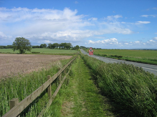
Long Field is a vast woodland located in Northumberland, England. Covering an extensive area of approximately 500 acres, it is renowned for its ancient trees and diverse wildlife. The forest is situated in the picturesque landscape of Northumberland National Park, offering visitors a serene and tranquil setting to explore.
The wood is predominantly composed of native tree species, including oak, beech, birch, and pine, which have thrived in the region for centuries. The towering trees create an enchanting canopy, providing shade and shelter to an array of flora and fauna. Bluebells, wild garlic, and ferns carpet the forest floor, creating a vibrant and colorful display in the spring and summer months.
Long Field is home to a rich variety of wildlife, making it a haven for nature enthusiasts. Visitors may spot red squirrels darting through the trees, as well as a plethora of bird species such as owls, woodpeckers, and songbirds. The woodland is also inhabited by deer, badgers, and foxes, adding to the natural diversity of the area.
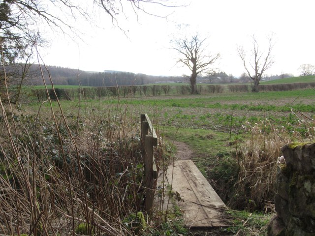
The forest offers several walking trails for visitors to explore, ranging from leisurely strolls to more challenging hikes. These paths wind through the ancient woodland, showcasing the breathtaking beauty of the surroundings. Along the way, visitors can enjoy panoramic views of the surrounding countryside and may encounter hidden streams and ponds.
Long Field in Northumberland is a captivating destination that allows visitors to immerse themselves in the beauty of nature. Whether it's a leisurely walk or a wildlife spotting adventure, this woodland provides a unique and memorable experience for all who visit.
If you have any feedback on the listing, please let us know in the comments section below.
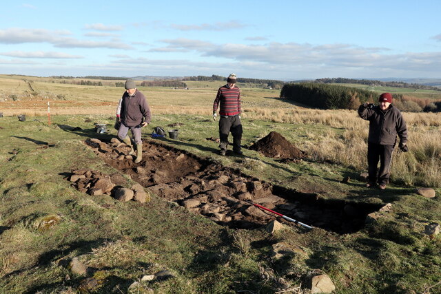
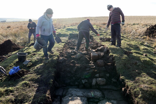
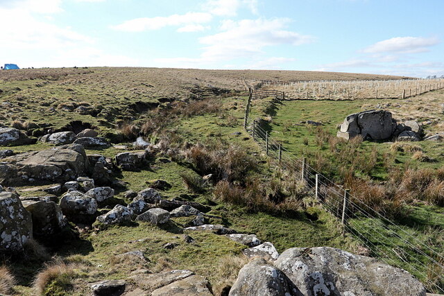
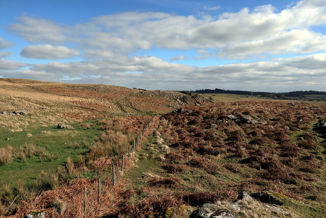
Long Field Images
Images are sourced within 2km of 55.015844/-2.1939641 or Grid Reference NY8769. Thanks to Geograph Open Source API. All images are credited.


Long Field is located at Grid Ref: NY8769 (Lat: 55.015844, Lng: -2.1939641)
Unitary Authority: Northumberland
Police Authority: Northumbria
What 3 Words
///steams.belts.intervene. Near Wall, Northumberland
Nearby Locations
Related Wikis

Fourstones
Fourstones is a village in Northumberland, England. The village lies on the north bank of the River South Tyne about 4 miles (6 km) west of Hexham. �...

Newbrough
Newbrough is a village in Northumberland, England, on the north bank of the River South Tyne about 5 miles (8 km) north-west of Hexham. == History == Newbrough...

Newbrough Town Hall
Newbrough Town Hall is a municipal building in Stanegate in Newbrough, Northumberland, England. The building, which is used as a community events venue...
Newbrough Hall
Newbrough Hall is an early 19th-century country house at Newbrough, about 5 miles (8 km) west of Hexham, Northumberland, England. It is a Grade II* listed...

Fourstones railway station
Fourstones is a former railway station which served the villages of Fourstones and Newbrough in Northumberland between 1837 and 1967 on the Tyne Valley...

Milecastle 29
Milecastle 29 (Tower Tye) was a milecastle of the Roman Hadrian's Wall. Its remains exist as a mutilated earth platform accentuated by deep robber-trenches...
Military Road (Northumberland)
The Military Road is a name given locally to part of the B6318 road in Northumberland, England, which runs from Heddon-on-the-Wall (54.9974°N 1.7929°W...

Milecastle 30
Milecastle 30 (Limestone Corner) was a milecastle of the Roman Hadrian's Wall. Its remains exist as an outward-facing scarp with a maximum height of 0...
Nearby Amenities
Located within 500m of 55.015844,-2.1939641Have you been to Long Field?
Leave your review of Long Field below (or comments, questions and feedback).