Broadfield Plantation

Wood, Forest in Worcestershire Wychavon

England

Broadfield Plantation

Droitwich Canal - bridge hole with submerged cill There used to be a swing bridge across this narrowing of the canal but it was removed some years ago and dumped on the far bank. It might still be hidden in the undergrowth.
Droitwich Canal - bridge hole with submerged cill Credit: Chris Allen

Broadfield Plantation is a picturesque and expansive woodland located in Worcestershire, England. Covering an area of approximately 100 acres, it is nestled in the heart of the county and is known for its diverse range of flora and fauna.

The woodland is characterized by its dense canopy of mature trees, including oak, ash, and beech. These towering giants provide a serene and shady environment, making it a popular spot for nature lovers and outdoor enthusiasts. The forest floor is adorned with a carpet of bluebells during the spring, creating a stunning visual spectacle.

Broadfield Plantation is home to a rich variety of wildlife, making it an ideal destination for birdwatchers and animal enthusiasts. Visitors can spot a plethora of bird species, such as woodpeckers, jays, and thrushes. The woodland is also inhabited by various mammals, including foxes, badgers, and deer.

The plantation offers several walking trails and paths that wind through the woodland, providing ample opportunities for exploration and relaxation. The peaceful atmosphere and abundance of natural beauty make it a perfect escape from the hustle and bustle of city life.

Broadfield Plantation has a rich historical significance as well. It is believed to have been a hunting ground for noble families during medieval times. Today, remnants of old structures and boundary walls can still be seen, offering glimpses into the region's past.

Overall, Broadfield Plantation is a captivating and idyllic woodland that offers a tranquil retreat for nature enthusiasts, history buffs, and those seeking solace in Worcestershire's natural beauty.

If you have any feedback on the listing, please let us know in the comments section below.

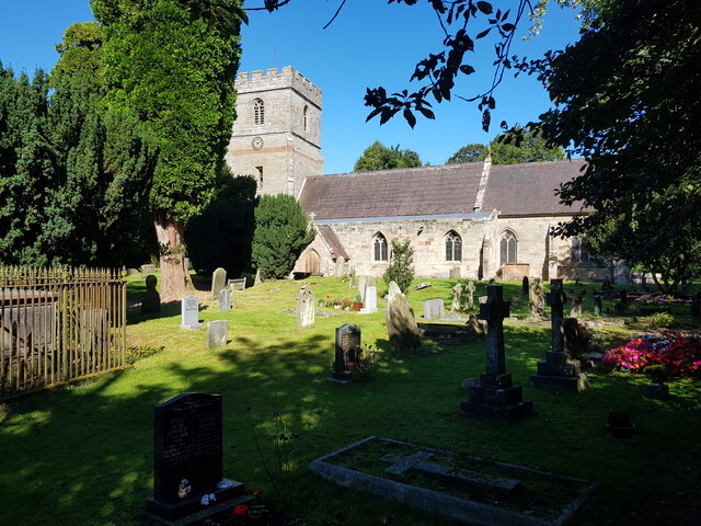
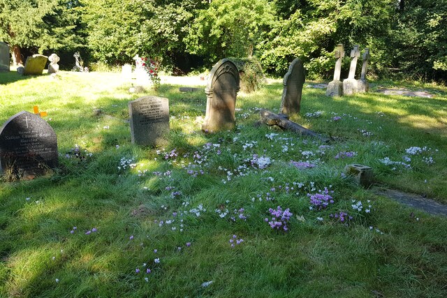
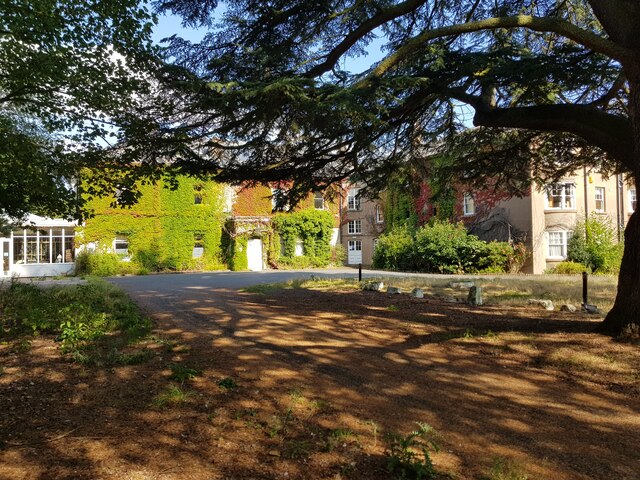
Broadfield Plantation Images

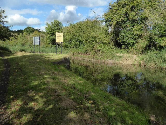
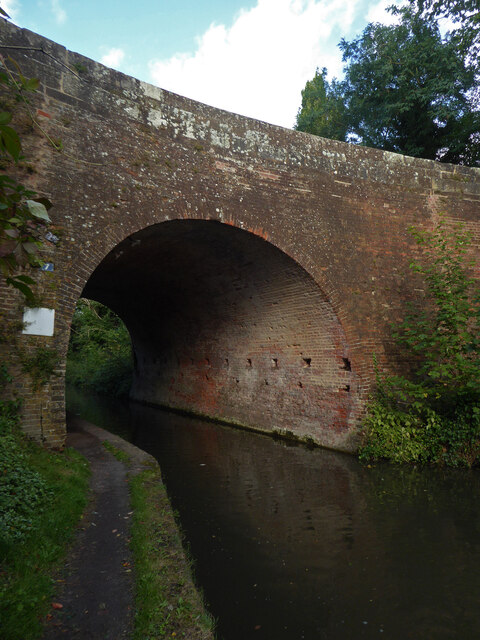
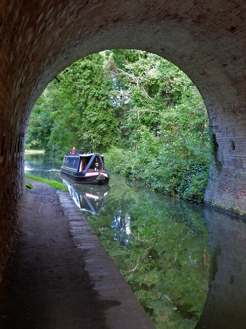
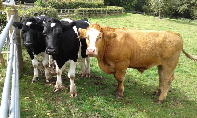
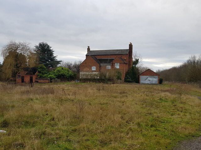
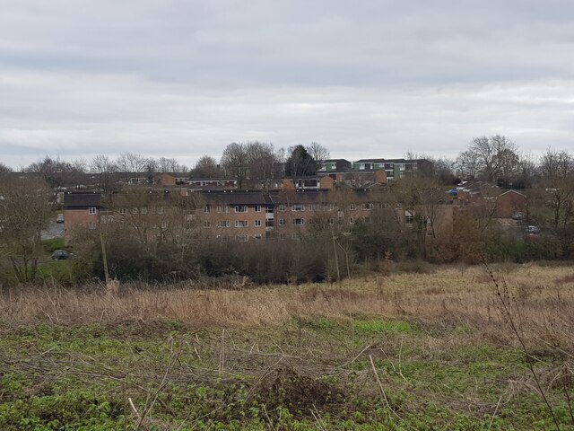
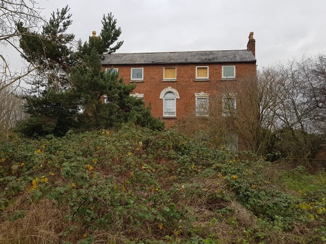
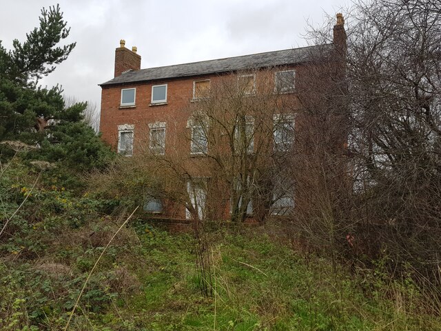
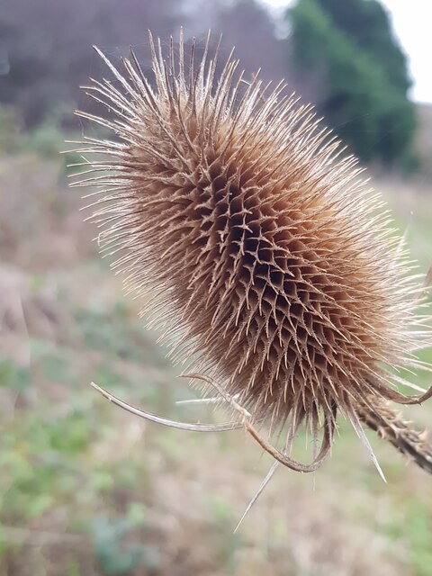
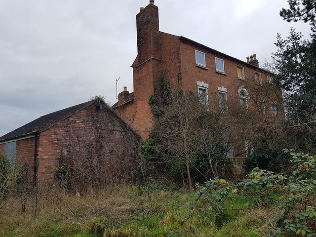
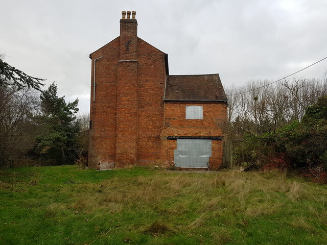
Images are sourced within 2km of 52.264598/-2.1822048 or Grid Reference SO8762. Thanks to Geograph Open Source API. All images are credited.

Droitwich Canal - bridge hole with submerged cill There used to be a swing bridge across this narrowing of the canal but it was removed some years ago and dumped on the far bank. It might still be hidden in the undergrowth.
Droitwich Canal - bridge hole with submerged cill
There used to be a swing bridge across this narrowing of the canal but it was removed some years ago and dumped on the far bank. It might still be hidden in the undergrowth.
Droitwich Barge Canal - bridge No. 7 Salwarpe Bridge carrying Copcut lane over the canal.
Droitwich Barge Canal - bridge No. 7
Salwarpe Bridge carrying Copcut lane over the canal.
Droitwich Barge Canal from under bridge No. 7 Looking toward Droitwich
Droitwich Barge Canal from under bridge No. 7
Looking toward Droitwich
Churchfields Farm - milk sales An old electric milk float converted for self-service milk sales. The farm is noted for its ice cream and is also the home of Droitwich salt made on a small scale in open pans.
Churchfields Farm - milk sales
An old electric milk float converted for self-service milk sales. The farm is noted for its ice cream and is also the home of Droitwich salt made on a small scale in open pans.
St. Michael & All Angels, Salwarpe
Flowers amongst the graves at Salwarpe This can be compared with the spot in <a href="https://www.geograph.org.uk/photo/5165353">SO8762 : Wild flowers amongst the graves, Salwarpe churchyard</a>.
Flowers amongst the graves at Salwarpe
This can be compared with the spot in SO8762 : Wild flowers amongst the graves, Salwarpe churchyard.
Old Bridge Marker on the A4133 Bridge Marker inscribed in the north parapet of Ward's Bridge, Hadley Brook, on the A4133. On the boundary of Ombersley, Westwood and Salwarpe parishes.

Milestone Society National ID: WO_OMWESA01br
Old Bridge Marker on the A4133
Bridge Marker inscribed in the north parapet of Ward's Bridge, Hadley Brook, on the A4133. On the boundary of Ombersley, Westwood and Salwarpe parishes. Milestone Society National ID: WO_OMWESA01br
St Andrews House Hotel Temporarily closed but re-opening soon.
St Andrews House Hotel
Temporarily closed but re-opening soon.
Locals at Mayhouse Farm Rescued cows at the farm.
Locals at Mayhouse Farm
Rescued cows at the farm.
Jakeman's Hill Farm (1) Between Droitwich and the Hampton Lovett Industrial Estate.
Jakeman's Hill Farm (1)
Between Droitwich and the Hampton Lovett Industrial Estate.
Westlands estate Droitwich from Jakeman's Hill
Jakeman's Hill Farm (2)
Jakeman's Hill Farm (3)
Teasel at Jakeman's Hill, Droitwich
Jakeman's Hill Farm (4)
Jakeman's Hill Farm (5)
Jakeman's Hill Farm (6) The fire in the damaged building was the previous night.
Jakeman's Hill Farm (6)
The fire in the damaged building was the previous night.
Vax on Stonebridge Cross Business Park
Show me another place!

Broadfield Plantation is located at Grid Ref: SO8762 (Lat: 52.264598, Lng: -2.1822048)

Administrative County: Worcestershire

District: Wychavon

Police Authority: West Mercia

What 3 Words

///defends.chainsaw.drawn. Near Droitwich, Worcestershire

Related Wikis

Westwood Priory

Westwood Priory (priory of St. Mary) was a priory of Benedictine nuns founded in 1153, near Droitwich, Worcestershire, England. It was a daughter house...

Salwarpe

Salwarpe is a small village and civil parish in the Wychavon district of Worcestershire, England, less than two miles south west of Droitwich, but in open...

Westwood House

Westwood House is a stately home, near Droitwich, Worcestershire, England. It has been subdivided into twelve self-contained apartments. The house has...

Droitwich Spa High School

Droitwich Spa High School is a secondary school and specialist Sports College with academy status in Droitwich Spa, Worcestershire, England. It serves...

Nearby Amenities

Located within 500m of 52.264598,-2.1822048
Power: pole
Lat/Long: 52.2640242/-2.1790305
Power: pole
Lat/Long: 52.2629313/-2.1789213
Location Transition: yes
Power: pole
Lat/Long: 52.2648908/-2.1776893
Power: pole
Lat/Long: 52.2623217/-2.1792443
Power: pole
Lat/Long: 52.2612017/-2.1791139
Post Box
Collection Times: Mo-Fr 15:45; Sa 07:00
Operator: Royal Mail
Operator Wikidata: Q638098
Post Box Type: lamp
Ref: WR9 13
Royal Cypher: EIIR
Royal Cypher Wikidata: Q33102113
Lat/Long: 52.2639542/-2.1844907
High Park
Location Transition: yes
Power: pole
Transformer: distribution
Voltage Primary: 11000
Lat/Long: 52.2637323/-2.1852601
Location Transition: yes
Power: pole
Lat/Long: 52.26287/-2.1870343
Park Farm
Power: pole
Transformer: distribution
Voltage Primary: 11000
Lat/Long: 52.2670145/-2.1870209
Power: pole
Lat/Long: 52.2619146/-2.1872824
The data included in this document is from www.openstreetmap.org. The data is made available under ODbL.

Have you been to Broadfield Plantation?

Leave your review of Broadfield Plantation below (or comments, questions and feedback).