Iverley Heath

Wood, Forest in Staffordshire South Staffordshire

England

Iverley Heath

Entrance to Bunkers Hill Wood from Whittington Hall Lane near Whittington Bunkers Hill Wood is owned and managed by the Woodland Trust, a registered charity. Like all their sites, it is open to the public, and although there are only two public footpaths within the wood, there are a large number of other paths which are permissive footpaths. This view shows one of the entrances, adjacent to which is a small area for car parking.
Entrance to Bunkers Hill Wood from Whittington Hall Lane near Whittington Credit: P L Chadwick

Iverley Heath is a small village located in the county of Staffordshire, England. Situated amidst sprawling woodlands and tranquil forests, it offers a picturesque and serene setting for residents and visitors alike. The village is nestled within the Staffordshire Moorlands district, near the town of Kinver.

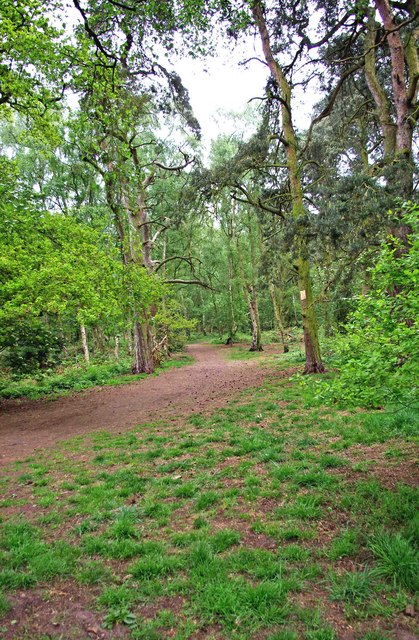
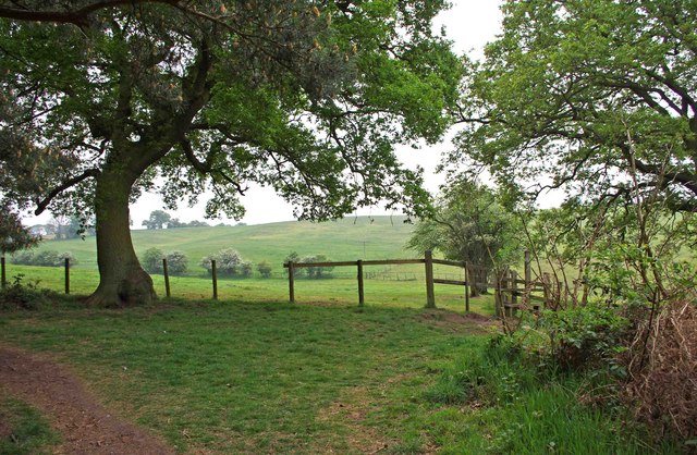
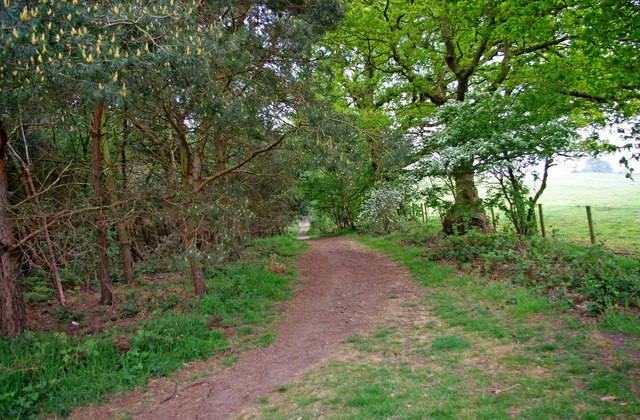
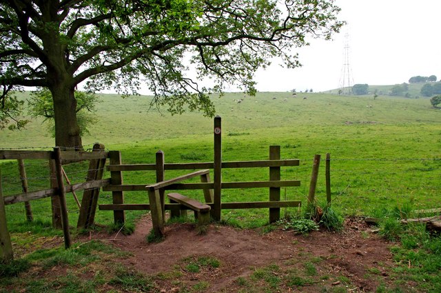
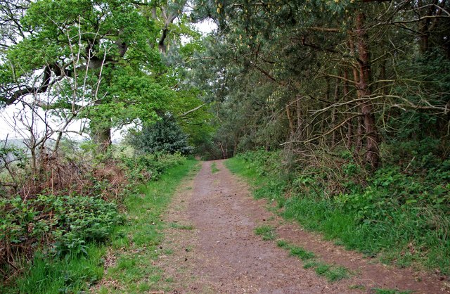
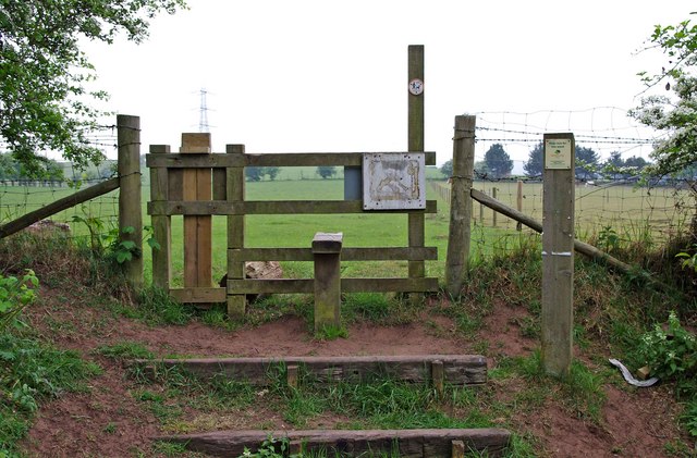
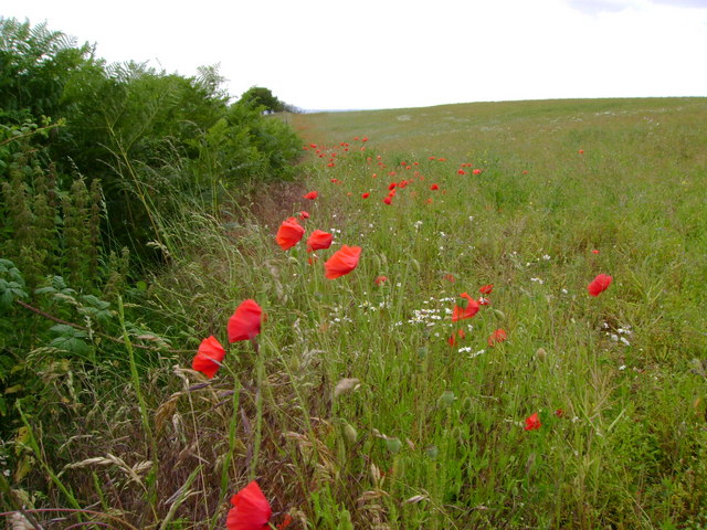
With its abundance of natural beauty, Iverley Heath is a haven for nature enthusiasts and outdoor adventurers. The surrounding woodlands provide ample opportunities for walking, hiking, and exploring the great outdoors. The area is known for its rich biodiversity, with a variety of plant and animal species inhabiting the forests.

The village itself is characterized by its quaint charm and rustic atmosphere. It is primarily residential, with a small population of friendly and welcoming locals. The community spirit is strong, with residents often engaging in various social activities and events.

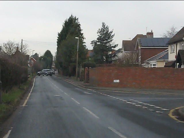
Although predominantly rural, Iverley Heath benefits from its proximity to nearby towns and cities. The bustling market town of Kinver is just a short distance away, offering a range of amenities including shops, restaurants, and leisure facilities. Additionally, the city of Wolverhampton is within easy reach, providing further opportunities for shopping, entertainment, and cultural experiences.

Overall, Iverley Heath offers a peaceful and idyllic lifestyle for those seeking a retreat from the hustle and bustle of city life. Its natural beauty, community spirit, and convenient location make it a desirable place to live or visit for anyone seeking a slice of rural charm in the heart of Staffordshire.

If you have any feedback on the listing, please let us know in the comments section below.

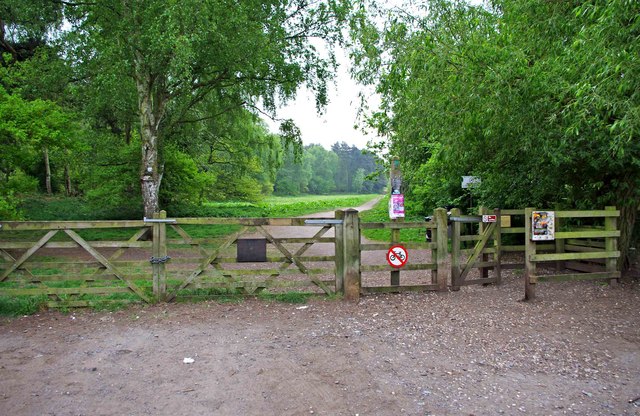
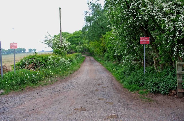
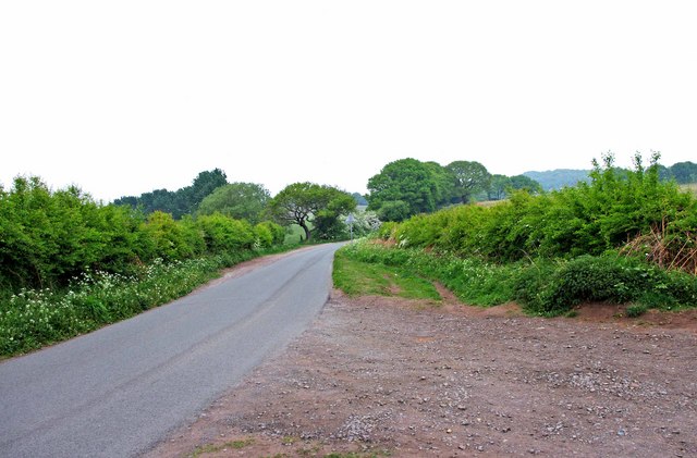
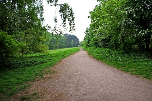
Iverley Heath Images

Images are sourced within 2km of 52.443348/-2.1829424 or Grid Reference SO8782. Thanks to Geograph Open Source API. All images are credited.

Entrance to Bunkers Hill Wood from Whittington Hall Lane near Whittington Bunkers Hill Wood is owned and managed by the Woodland Trust, a registered charity. Like all their sites, it is open to the public, and although there are only two public footpaths within the wood, there are a large number of other paths which are permissive footpaths. This view shows one of the entrances, adjacent to which is a small area for car parking.
Entrance to Bunkers Hill Wood from Whittington Hall Lane near Whittington
Bunkers Hill Wood is owned and managed by the Woodland Trust, a registered charity. Like all their sites, it is open to the public, and although there are only two public footpaths within the wood, there are a large number of other paths which are permissive footpaths. This view shows one of the entrances, adjacent to which is a small area for car parking.
Sandy Lane near Whittington This lane runs between Whittington Hall Lane and the edge of the town of Stourbridge. There is a public footpath running along its whole length. For part of the way, it runs adjacent to Bunkers Hill Wood.
Sandy Lane near Whittington
This lane runs between Whittington Hall Lane and the edge of the town of Stourbridge. There is a public footpath running along its whole length. For part of the way, it runs adjacent to Bunkers Hill Wood.
Whittington Hall Lane near Whittington On the left of the lane is a gravelled area, which can be used by visitors to the nearby Bunkers Hill Woods, when the small car park by the wood's entrance is full.
Whittington Hall Lane near Whittington
On the left of the lane is a gravelled area, which can be used by visitors to the nearby Bunkers Hill Woods, when the small car park by the wood's entrance is full.
Public footpath in Bunkers Hill Wood near Whittington This public footpath, which starts here at the entrance to the wood from Whittington Hall Lane, is one of the two public footpaths to be found in the woods. There are many other paths there however, which the public can use, but they are permissive footpaths. These date from when the wood was used for shooting purposes. This was before its acquisition by the Woodland Trust.
Public footpath in Bunkers Hill Wood near Whittington
This public footpath, which starts here at the entrance to the wood from Whittington Hall Lane, is one of the two public footpaths to be found in the woods. There are many other paths there however, which the public can use, but they are permissive footpaths. These date from when the wood was used for shooting purposes. This was before its acquisition by the Woodland Trust.
Bunkers Hill Wood near Whittington Hall Lane Bunkers Hill Wood is about half a mile west of Stourbridge. According to its owners, the Woodland Trust, it contains a mixture of predominantly secondary plantation trees with mature and veteran broadleaves and conifers, including Sweet Chestnut, Oak, Scots Pine and Corsican Pine. These are contrasted by younger stands of broadleaves and conifers and areas of naturally regenerated Birch.

The site, which was formerly part of Iverley Heath, was originally planted around 1860, with subsequent replanting as recently as 20 to 25 years ago.
Bunkers Hill Wood near Whittington Hall Lane
Bunkers Hill Wood is about half a mile west of Stourbridge. According to its owners, the Woodland Trust, it contains a mixture of predominantly secondary plantation trees with mature and veteran broadleaves and conifers, including Sweet Chestnut, Oak, Scots Pine and Corsican Pine. These are contrasted by younger stands of broadleaves and conifers and areas of naturally regenerated Birch. The site, which was formerly part of Iverley Heath, was originally planted around 1860, with subsequent replanting as recently as 20 to 25 years ago.
A litter bin and two dog waste bins at Bunkers Hill Wood, near Whittington Bunkers Hill Wood is only about half a mile from the edge of the town of Stourbridge, It is therefore a very popular spot with people from there for walking with, or without, dogs. These bins are conveniently situated near the entrance from Whittington Hall Lane. Normally the wood would have a lot of visitors, but on the day of the wedding of Prince William and Kate Middleton, it was very quiet.
A litter bin and two dog waste bins at Bunkers Hill Wood, near Whittington
Bunkers Hill Wood is only about half a mile from the edge of the town of Stourbridge, It is therefore a very popular spot with people from there for walking with, or without, dogs. These bins are conveniently situated near the entrance from Whittington Hall Lane. Normally the wood would have a lot of visitors, but on the day of the wedding of Prince William and Kate Middleton, it was very quiet.
Southwestern edge of Bunkers Hill Wood near Whittington Here is the very edge of the wood, beyond which are fields. A permissive footpath goes off to the left, and another, behind the photographer, goes along the west boundary of the wood to the entrance on Whittington Hall Lane. The last stretch of this is a public footpath. On the right of this view is a stile, which gives access to what appears to be a new public footpath, across fields, which is not shown on the 2006 edition of OS Explorer Map sheet 219.
Southwestern edge of Bunkers Hill Wood near Whittington
Here is the very edge of the wood, beyond which are fields. A permissive footpath goes off to the left, and another, behind the photographer, goes along the west boundary of the wood to the entrance on Whittington Hall Lane. The last stretch of this is a public footpath. On the right of this view is a stile, which gives access to what appears to be a new public footpath, across fields, which is not shown on the 2006 edition of OS Explorer Map sheet 219.
Permissive footpath on edge of Bunkers Hill Wood, near Whittington This is one of the many permissive footpaths within the wood. Here it is running along the edge of the wood.
Permissive footpath on edge of Bunkers Hill Wood, near Whittington
This is one of the many permissive footpaths within the wood. Here it is running along the edge of the wood.
Stile at southwest corner of Bunkers Hill Wood near Whittington In the southwest corner of the wood is this stile. On the other side is what appears to be a new public footpath, as it is not shown on the 2006 edition of OS Explorer Map sheet 219. The little disc on the post is marked Staffordshire County Council, and requests that dogs be kept on leads. It is not obvious, on the ground, quite where the path goes but there are fields adjacent to this part of the wood, with some livestock in them.
Stile at southwest corner of Bunkers Hill Wood near Whittington
In the southwest corner of the wood is this stile. On the other side is what appears to be a new public footpath, as it is not shown on the 2006 edition of OS Explorer Map sheet 219. The little disc on the post is marked Staffordshire County Council, and requests that dogs be kept on leads. It is not obvious, on the ground, quite where the path goes but there are fields adjacent to this part of the wood, with some livestock in them.
Permissive footpath on edge of Bunkers Hill Wood, near Whittington This permissive footpath is heading for the entrance off Whittington Hall Lane. Further on it is a public footpath.
Permissive footpath on edge of Bunkers Hill Wood, near Whittington
This permissive footpath is heading for the entrance off Whittington Hall Lane. Further on it is a public footpath.
Stile at start of footpath from Bunkers Hill Wood to Whittington Hall Lane The footpath starts at the stile, and go west across fields to Whittington Hall Lane.
Stile at start of footpath from Bunkers Hill Wood to Whittington Hall Lane
The footpath starts at the stile, and go west across fields to Whittington Hall Lane.
Poppies at field margin Poppies, bracken, nettles and bramble all flourishing at the edge of a rape seed field.
Poppies at field margin
Poppies, bracken, nettles and bramble all flourishing at the edge of a rape seed field.
Winding lane
Winding lane
Mini traffic-island
Mini traffic-island
Racecourse Lane, Pedmore
Racecourse Lane at Fairways Avenue
Greyhound Lane
Greyhound Lane
Greyhound Lane approaching the county boundary The bottom of the hill forms the boundary between West Midlands and Staffordshire and also an abrupt end to the built-up area.
Greyhound Lane approaching the county boundary
The bottom of the hill forms the boundary between West Midlands and Staffordshire and also an abrupt end to the built-up area.
Show me another place!

Iverley Heath is located at Grid Ref: SO8782 (Lat: 52.443348, Lng: -2.1829424)

Administrative County: Staffordshire

District: South Staffordshire

Police Authority: Staffordshire

What 3 Words

///paid.excusing.tumble. Near Stourbridge, West Midlands

Related Wikis

Iverley

Iverley is an area of the parish of Kinver in Staffordshire that has no road link to the rest of the parish. It is notable as being the most southerly...

Ridgewood High School, Wollaston

Ridgewood High School is a coeducational secondary school, a part of the Stour Vale Academy Trust situated in Wollaston (near Stourbridge), in the West...

Norton, Stourbridge

Norton is a suburb and council ward in the town of Stourbridge, West Midlands. It has a population of 11,943 in an area of 569 hectares. The population...

Mary Stevens Park

Mary Stevens Park is a public park located in Norton, Stourbridge, West Midlands, UK. Opened to the public in 1931, it attracts 1.3 million visitors per...

Nearby Amenities

Located within 500m of 52.443348,-2.1829424
Marker: pedestal
Operator: Esso
Utility: oil
Lat/Long: 52.4466267/-2.1779821
The data included in this document is from www.openstreetmap.org. The data is made available under ODbL.

Have you been to Iverley Heath?

Leave your review of Iverley Heath below (or comments, questions and feedback).