Coney Meadow

Downs, Moorland in Worcestershire Wychavon

England

Coney Meadow

Start of footpath off Drury Lane, Martin Hussingtree
Start of footpath off Drury Lane, Martin Hussingtree Credit: Jeff Gogarty

Coney Meadow is a picturesque area located in Worcestershire, England. Situated on the outskirts of the small town of Downs, it is known for its stunning natural beauty and diverse landscapes, including both meadows and moorland.

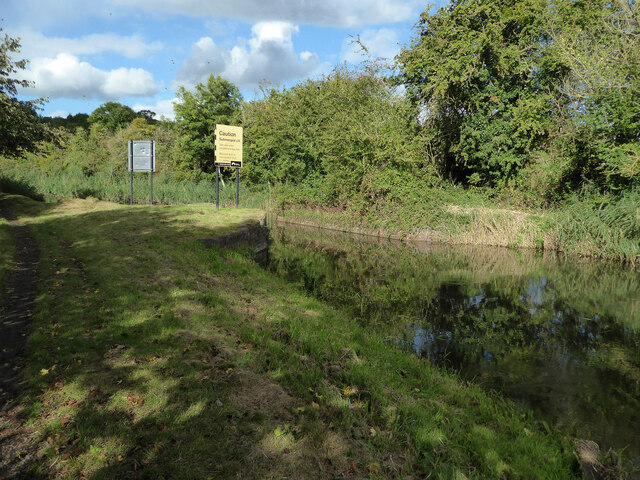
Covering an expansive area of approximately 200 acres, Coney Meadow is a haven for wildlife and nature enthusiasts alike. The meadows are characterized by their lush green grasses and vibrant wildflowers, creating a vibrant and colorful landscape during the spring and summer months. It is a popular spot for picnics, leisurely walks, and outdoor activities.

In addition to the meadows, Coney Meadow also boasts vast stretches of moorland. The moorland areas are characterized by their rocky terrain, heather-covered hillsides, and breathtaking views of the surrounding countryside. This rugged landscape provides a unique habitat for a variety of plant and animal species, including birds of prey and rare wildflowers.

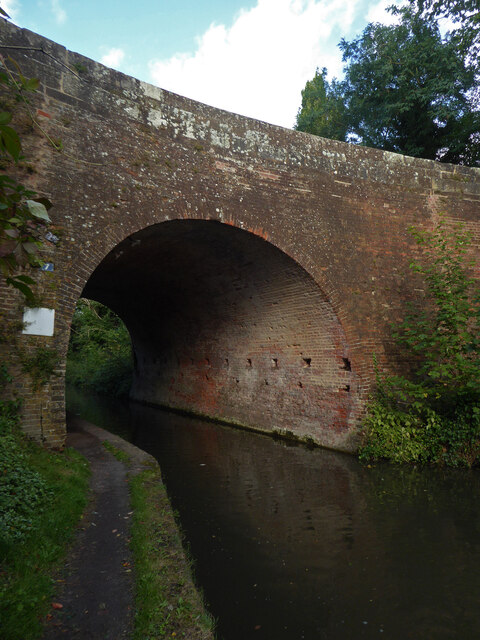
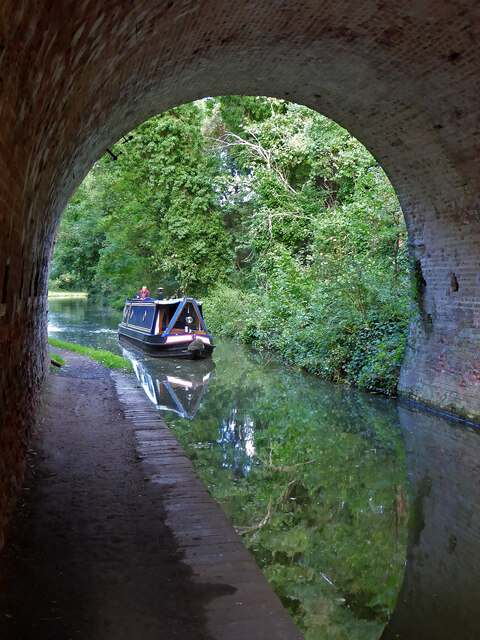
Coney Meadow is also home to several walking trails, offering visitors the opportunity to explore the area and discover its natural wonders. Whether it's a leisurely stroll through the meadows or a more challenging hike along the moorland, there is something for everyone to enjoy.

The area is well-maintained and accessible, with car parking facilities and designated picnic areas available for visitors. With its stunning landscapes, rich biodiversity, and tranquil atmosphere, Coney Meadow is a hidden gem in Worcestershire that is definitely worth a visit for nature lovers and outdoor enthusiasts.

If you have any feedback on the listing, please let us know in the comments section below.

Coney Meadow Images

Images are sourced within 2km of 52.258785/-2.1796757 or Grid Reference SO8762. Thanks to Geograph Open Source API. All images are credited.

Start of footpath off Drury Lane, Martin Hussingtree
Disused poultry farm at Martin Hussingtree (1) Formerly run by Poultry First Ltd this area on Drury Lane had permission to change use to Class B8 (Storage or distribution) refused due to the poor access. See <a href="https://www.geograph.org.uk/photo/6938334">SO8860 : Start of footpath off Drury Lane, Martin Hussingtree</a> and <a href="https://www.geograph.org.uk/photo/6938511">SO8860 : Looking up Drury Lane, Martin Hussingtree</a>.
Disused poultry farm at Martin Hussingtree (1)
Formerly run by Poultry First Ltd this area on Drury Lane had permission to change use to Class B8 (Storage or distribution) refused due to the poor access. See SO8860 : Start of footpath off Drury Lane, Martin Hussingtree and SO8860 : Looking up Drury Lane, Martin Hussingtree.
Mini-stile on Drury Lane footpath
Disused poultry farm at Martin Hussingtree (2)
Disused poultry farm at Martin Hussingtree (3)
Footpath running along edge of field
Looking towards Oaktrees Farm, Martin Hussingtree
Field with pylon in Martin Hussingtree parish
Houses on northern branch of Drury Lane, Martin Hussingtree
Drury Lane, Martin Hussingtree, Worcestershire
Droitwich Canal - bridge hole with submerged cill There used to be a swing bridge across this narrowing of the canal but it was removed some years ago and dumped on the far bank. It might still be hidden in the undergrowth.
Droitwich Canal - bridge hole with submerged cill
There used to be a swing bridge across this narrowing of the canal but it was removed some years ago and dumped on the far bank. It might still be hidden in the undergrowth.
Droitwich Barge Canal - bridge No. 7 Salwarpe Bridge carrying Copcut lane over the canal.
Droitwich Barge Canal - bridge No. 7
Salwarpe Bridge carrying Copcut lane over the canal.
Droitwich Barge Canal from under bridge No. 7 Looking toward Droitwich
Droitwich Barge Canal from under bridge No. 7
Looking toward Droitwich
Droitwich Barge Canal - bridge No. 5A and lock No. 7 A narrowboat has just ascended in the lock. There is some leakage around the bottom gates.
Droitwich Barge Canal - bridge No. 5A and lock No. 7
A narrowboat has just ascended in the lock. There is some leakage around the bottom gates.
Droitwich Barge Canal - narrowboat Julie leaving lock No. 7 Julie belongs to Black Prince Holidays and is a hire boat.
Droitwich Barge Canal - narrowboat Julie leaving lock No. 7
Julie belongs to Black Prince Holidays and is a hire boat.
Churchfields Farm - milk sales An old electric milk float converted for self-service milk sales. The farm is noted for its ice cream and is also the home of Droitwich salt made on a small scale in open pans.
Churchfields Farm - milk sales
An old electric milk float converted for self-service milk sales. The farm is noted for its ice cream and is also the home of Droitwich salt made on a small scale in open pans.
Old Boundary Marker on the A38 Worcester Road Parish Boundary Marker against a bridge parapet on the west side of the A38 Worcester Road. On the boundary of Martin Hussingtree and Salwarpe parishes.

Milestone Society National ID: WO_MAHUSA01pb
Old Boundary Marker on the A38 Worcester Road
Parish Boundary Marker against a bridge parapet on the west side of the A38 Worcester Road. On the boundary of Martin Hussingtree and Salwarpe parishes. Milestone Society National ID: WO_MAHUSA01pb
St. Michael & All Angels, Salwarpe
Show me another place!

Coney Meadow is located at Grid Ref: SO8762 (Lat: 52.258785, Lng: -2.1796757)

Administrative County: Worcestershire

District: Wychavon

Police Authority: West Mercia

What 3 Words

///recording.televise.ripples. Near Droitwich, Worcestershire

Related Wikis

Salwarpe

Salwarpe is a small village and civil parish in the Wychavon district of Worcestershire, England, less than two miles south west of Droitwich, but in open...

Droitwich Spa High School

Droitwich Spa High School is a secondary school and specialist Sports College with academy status in Droitwich Spa, Worcestershire, England. It serves...

Westwood Priory

Westwood Priory (priory of St. Mary) was a priory of Benedictine nuns founded in 1153, near Droitwich, Worcestershire, England. It was a daughter house...

Church of the Sacred Heart and St Catherine of Alexandria

The Church of the Sacred Heart and St Catherine of Alexandria is a Catholic church situated in Droitwich Spa, Worcestershire, England, noted for its remarkable...

Nearby Amenities

Located within 500m of 52.258785,-2.1796757
Motorway Junction
Lat/Long: 52.2604712/-2.1773895
Post Box
Collection Times: Mo-Fr 16:15; Sa 07:00
Old Ref: D.351 Salwarpe
Post Box Type: wall
Ref: WR9 351
Royal Cypher: VR
Royal Cypher Wikidata: Q33102356
Source Old Ref: collection plate
Source Ref: dracos
Lat/Long: 52.2562348/-2.1855288
Post Box
Collection Plate: CP7
Collection Times: Mo-Fr 16:30; Sa 11:00
Historic Operator: Post Office
Post Box Type: lamp
Ref: WR9 127
Royal Cypher: EIIR
Royal Cypher Wikidata: Q33102113
Lat/Long: 52.2597481/-2.172496
Power: pole
Lat/Long: 52.2601133/-2.1789492
Board Type: nature
Information: board
Tourism: information
Lat/Long: 52.2581002/-2.1821642
Power: pole
Lat/Long: 52.2578264/-2.1782237
Power: pole
Lat/Long: 52.2567707/-2.1776842
Power: pole
Lat/Long: 52.2629313/-2.1789213
Bench
Lat/Long: 52.2591855/-2.1779779
Power: pole
Lat/Long: 52.2558211/-2.1772189
Power: pole
Lat/Long: 52.2552658/-2.1752454
Power: pole
Lat/Long: 52.2623217/-2.1792443
Power: pole
Lat/Long: 52.2612017/-2.1791139
Power: pole
Lat/Long: 52.2589953/-2.1787789
Fixme: incompleate
Lat/Long: 52.2599194/-2.1768769
Barrier: kissing_gate
Bicycle: yes
Foot: yes
Lat/Long: 52.2581952/-2.1820482
Bench
Lat/Long: 52.258422/-2.1822673
Barrier: stile
Bicycle: no
Foot: yes
Lat/Long: 52.2557688/-2.184367
Historic: memorial
Memorial: war_memorial
Lat/Long: 52.2559245/-2.1842218
Generator Method: photovoltaic
Generator Output Electricity: yes
Generator Source: solar
Generator Type: solar_photovoltaic_panel
Location: roof
Power: generator
Lat/Long: 52.2588265/-2.174542
Generator Method: photovoltaic
Generator Output Electricity: yes
Generator Source: solar
Generator Type: solar_photovoltaic_panel
Location: roof
Power: generator
Lat/Long: 52.2579318/-2.172887
Location Transition: yes
Power: pole
Lat/Long: 52.2586579/-2.1759179
Chawson Gas Governor
Power: pole
Transformer: distribution
Voltage Primary: 11000
Lat/Long: 52.2570887/-2.1747699
Power: pole
Lat/Long: 52.2577889/-2.1758173
Power: pole
Lat/Long: 52.258657/-2.1763075
Location Transition: yes
Power: pole
Lat/Long: 52.2586509/-2.1777941
Location Transition: yes
Power: pole
Lat/Long: 52.258641/-2.1792982
Power: pole
Lat/Long: 52.2586312/-2.1801558
Power: pole
Lat/Long: 52.258412/-2.1813065
Power: pole
Lat/Long: 52.2582068/-2.1824907
Power: pole
Lat/Long: 52.2581025/-2.1835931
Salwarpe Court
Power: pole
Transformer: distribution
Voltage Primary: 11000
Lat/Long: 52.2574425/-2.1838921
Power: pole
Lat/Long: 52.2580163/-2.1845292
Power: pole
Lat/Long: 52.2579375/-2.1855001
Power: pole
Lat/Long: 52.2578645/-2.1864496
Salwarpe Court Farm
Power: pole
Transformer: distribution
Voltage Primary: 11000
Lat/Long: 52.2556402/-2.1820434
Power: pole
Lat/Long: 52.2551809/-2.1820072
Power: pole
Lat/Long: 52.2547166/-2.1819851
Information: board
Tourism: information
Lat/Long: 52.26142/-2.1738972
Information: board
Tourism: information
Lat/Long: 52.2615729/-2.174017
The data included in this document is from www.openstreetmap.org. The data is made available under ODbL.

Have you been to Coney Meadow?

Leave your review of Coney Meadow below (or comments, questions and feedback).